Datasets
-
Fluid Rare Earth Element Analyses from Geothermal Wells Located on the Reykjanes Peninsula, Iceland and Middle Valley Seafloor Hydrothermal System on the Juan de Fuca Ridge.
Results for fluid rare earth element analyses from four Reykjanes peninsula high-temperature geothermal fields. Data for fluids from hydrothermal vents located 2400 m below sea... -
Drill Core Major, Trace and Rare Earth Element Analyses from Wells RN-17B and RN-30, Reykjanes, Iceland
Analytical results for X-ray fluorescence (XRF) and inductively coupled plasma mass spectrometry (ICP-MS) measurement of major, trace and rare earth elements in drill core from... -
Drill Cutting and Core Major, Trace and Rare Earth Element Analyses from Wells RN-17B and RN-30, Reykjanes, Iceland
Analytical results for x-ray fluorescence (XRF) and Inductively Couple Plasma Mass Spectrometry (ICP-MS) measurement of major, trace and rare earth elements in drill cuttings... -
MT Data: Newberry 4D Monitoring EGS Project
This submission contains a link to the EDX Collaborative Workspace where the MT data collected in support of the DOE GTO 4D EGS monitoring project is stored. Daily production... -
Newberry EGS Well Logs, Earthquakes, Maps, Cross-Sections, and LiDAR Datasets
Datasets and information used to characterize the subsurface of Newberry and support modeling efforts. Includes sources for well logs, earthquakes, maps & cross-sections,... -
Newberry EGS Literature References
Research references to literature about the Newberry geothermal area, Oregon. -
A Conceptual Geologic Model for the Newberry Volcano EGS Site in Central Oregon: Constraining Heat Capacity and Permeability through Interpretation of Multicomponent Geosystems Data
Newberry Volcano, a voluminous (500 km3) basaltic/andesitic/rhyolitic shield volcano located near the intersection of the Cascade volcanic arc, the Oregon High Lava Plains and... -
Utah FORGE: Site Earthquake Animation
This is a .kml earthquake animation covering the period of 1991 - 2011 for the Utah Milford FORGE site. It displays seismic events using different sized bubbles according to... -
Utah FORGE: Targeting Geothermal Resources with Geodetic Strain Data Paper
The paper linked below offers an initial assessment of a new method to target potential geothermal resources on the regional scale. The method is based on seeking relationships... -
Snake River Plain FORGE: Well Data for INEL-1
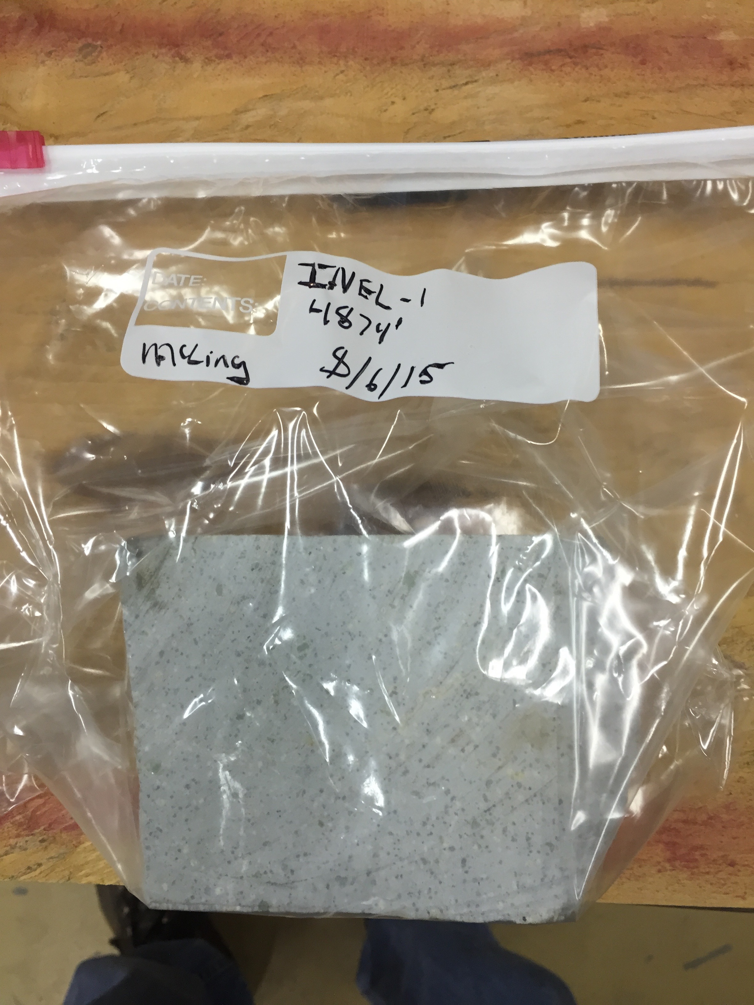
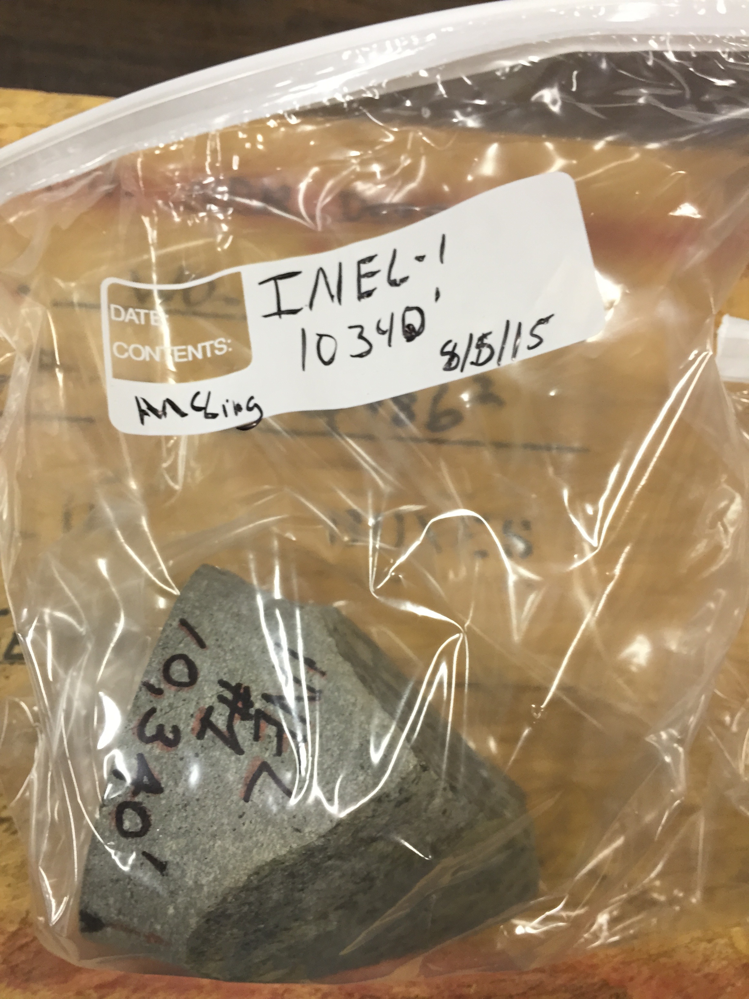
Well data for the INEL-1 well located in eastern Snake River Plain, Idaho. This data collection includes caliper logs, lithology reports, borehole logs, temperature at depth... -
Snake River Plain FORGE: Well Data for WO-2
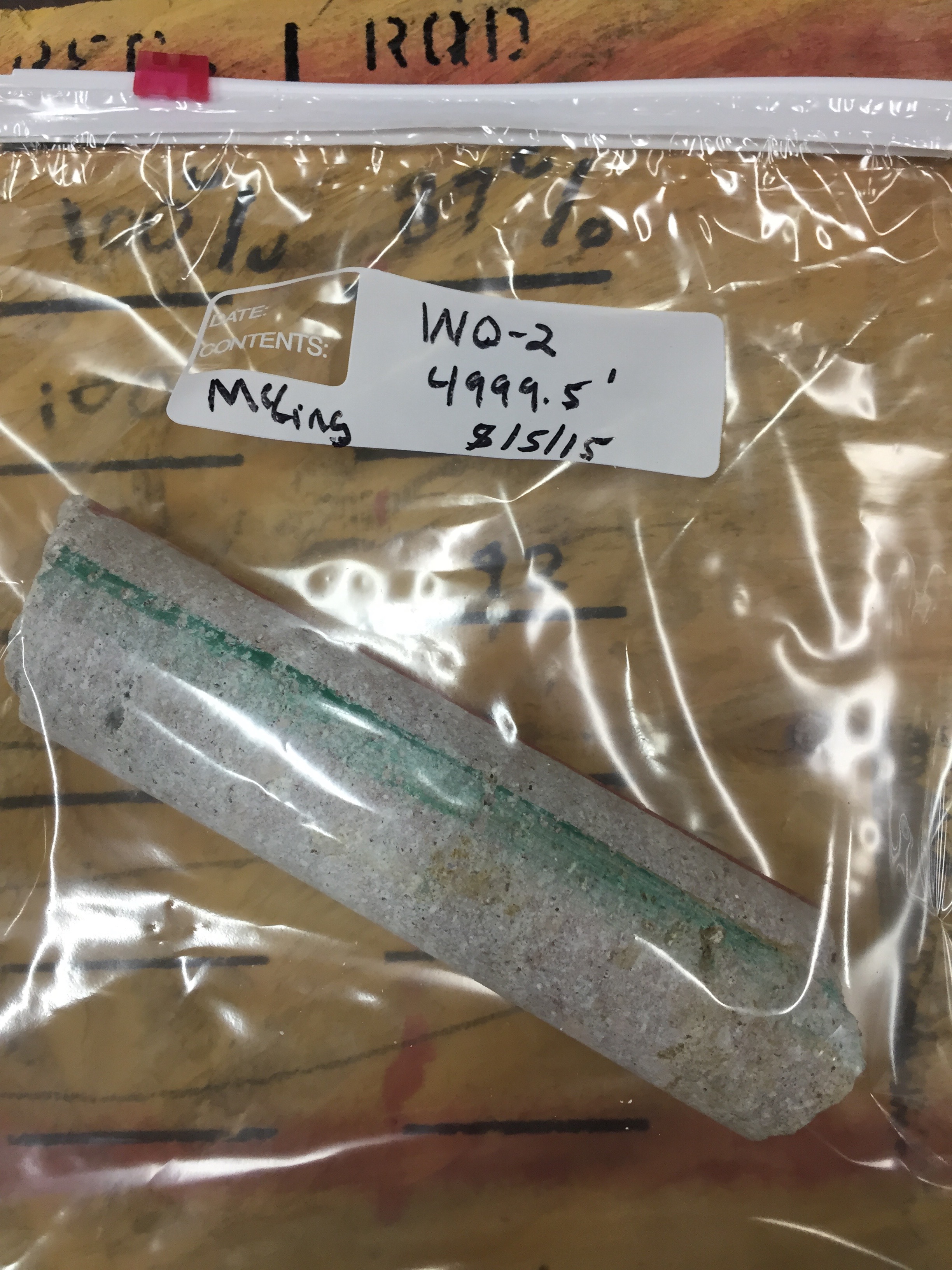
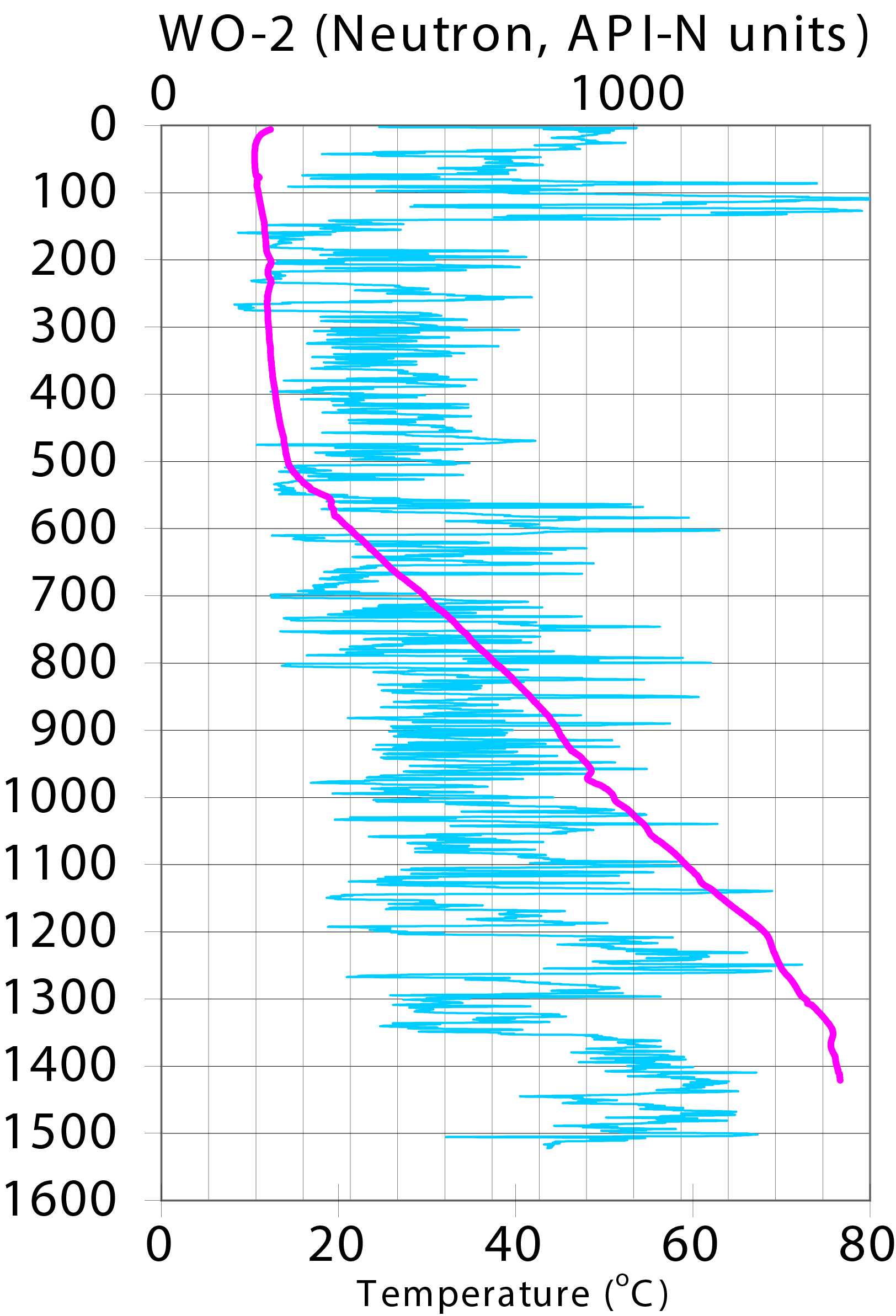
Well data for the WO-2 well located in eastern Snake River Plain, Idaho. This data collection includes lithology reports, borehole logs, temperature at depth data, neutron... -
Snake River Plain FORGE: Well Data for USGS-142
Well data for the USGS-142 well located in eastern Snake River Plain, Idaho. This data collection includes lithology reports, borehole logs, and photos of rhyolite core samples.... -
West Flank Coso FORGE: Geologic Cross-Sections
Geologic cross sections from the West Flank FORGE site. Cross Section traces linked in resources. -
West Flank Coso FORGE: ArcGIS Data for Geologic Model
Archive of ArcGIS data from the West Flank FORGE site located in Coso, California. Archive contains the following eight shapefiles: Polygon of the 3D geologic model... -
West Flank Coso FORGE: 3D Temperature Model
x,y,z data of the 3D temperature model for the West Flank Coso FORGE site. Model grid spacing is 250m. The temperature model for the Coso geothermal field used over 100... -
West Flank Coso FORGE: Downhole Lithologic Data
x,y,z downhole lithologic logs for the wells in and around the West Flank FORGE site based on a review of cuttings, core, and mud logs. -
West Flank Coso FORGE: 3D Geologic Model
This is an x,y,z file of the West Flank FORGE 3D geologic model. Model created in Earthvision by Dynamic Graphic Inc. The model was constructed with a grid spacing of 100 m.... -
Fallon FORGE: ArcGIS Site Location and Geologic Model Range Polygons
A zip file containing two ArcGIS polygons of the FORGE site located in Fallon, Nevada. FallonFORGE3DGeologicModelRange is the 3D geologic model range and FallonFORGESite is the... -
Fallon FORGE: Well Temperature Data
x,y,z downhole temperature data for wells in and around the Fallon FORGE site. Data for the following wells are included: 82-36, 82-19, 84.31, 61-36, 88-24, FOH-3D, FDU-1, and... -
Fallon FORGE: Well Lithologies
x,y,z text file of the downhole lithologic interpretations in the wells in and around the Fallon FORGE site. All the relevant information is in the file header (the spatial...