

Datasets
-
Areas of Anomalous Surface Temperature in Alamosa and Saguache Counties, Colorado, as Identified from ASTER Thermal Data
This layer contains areas of anomalous surface temperature in Alamosa and Saguache Counties identified from ASTER thermal data and spatial based insolation model. The... -
Geothermal Target Areas in Colorado as Identified by Remote Sensing Techniques
This layer contains the areas identified as targets of potential geothermal activity. The Criteria used to identify the target areas include: hot/warm surface exposures modeled... -
Colorado Regional Faults
This layer contains the regional faults of Colorado. The geodatabase includes show faults throughout Colorado and can be accessed with a GIS software. -
Remotely Sensed Thermal Anomalies in Western Colorado
This layer contains the areas identified as areas of anomalous surface temperature from Landsat satellite imagery in Western Colorado. Data was obtained for two different dates.... -
Colorado Electrical Transmission Grid
This layer contains transmission network of Colorado as released by Xcel Energy. -
Favorable Geochemistry from Springs and Wells in Colorado
This layer contains favorable geochemistry for high-temperature geothermal systems, as interpreted by Richard "Rick" Zehner. The data is compiled from the data obtained from the... -
Colorado Potential Geothermal Pathways
This layer contains the weakened basement rocks. Isostatic gravity was utilized to identify structural basin areas, characterized by gravity low values reflecting weakened... -
Colorado Heat Flow Data from IHFC
This layer contains the heat flow sites and data of the State of Colorado compiled from the International Heat Flow Commission (IHFC) of the International Association of... -
Shallow (2-meter) Temperature Surveys in Colorado
Shallow temperature surveys are useful in early-stage geothermal exploration to delineate surface outflow zones, with the intent to identify the source of upwelling, usually a... -
ASTER Thermal Anomalies in Western Colorado
This layer contains the areas identified as areas of anomalous surface temperature from ASTER satellite imagery. The temperature is calculated using the Emissivity Normalization... -
Archuleta County CO Lineaments
This layer traces apparent topographic and air-photo lineaments in the area around Pagosa springs in Archuleta County, Colorado. It was made in order to identify possible fault... -
High-Pressure Combustion and Deflagration-to-Detonation Transition in Ethylene/Nitrous Oxide Mixtures
In this paper, the combustion of nitrous oxide with a simple hydrocarbon, ethylene, at high initial pressures is investigated. A series of experiments were conducted using a... -
Stimulation at Desert Peak -Modeling with the Coupled THM Code FEHM
Numerical modeling of the 2011 shear stimulation at the Desert Peak Well 27-15 using a coupled thermal-hydrological-mechanical simulator. This submission contains the finite... -
Preliminary performance of HT Datalink
Preliminary performance of high-temperature (HT) high-speed (HS) data link at room temperature over 5000 ft of wireline. The data shows ability of the data link to adapt by... -
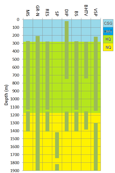
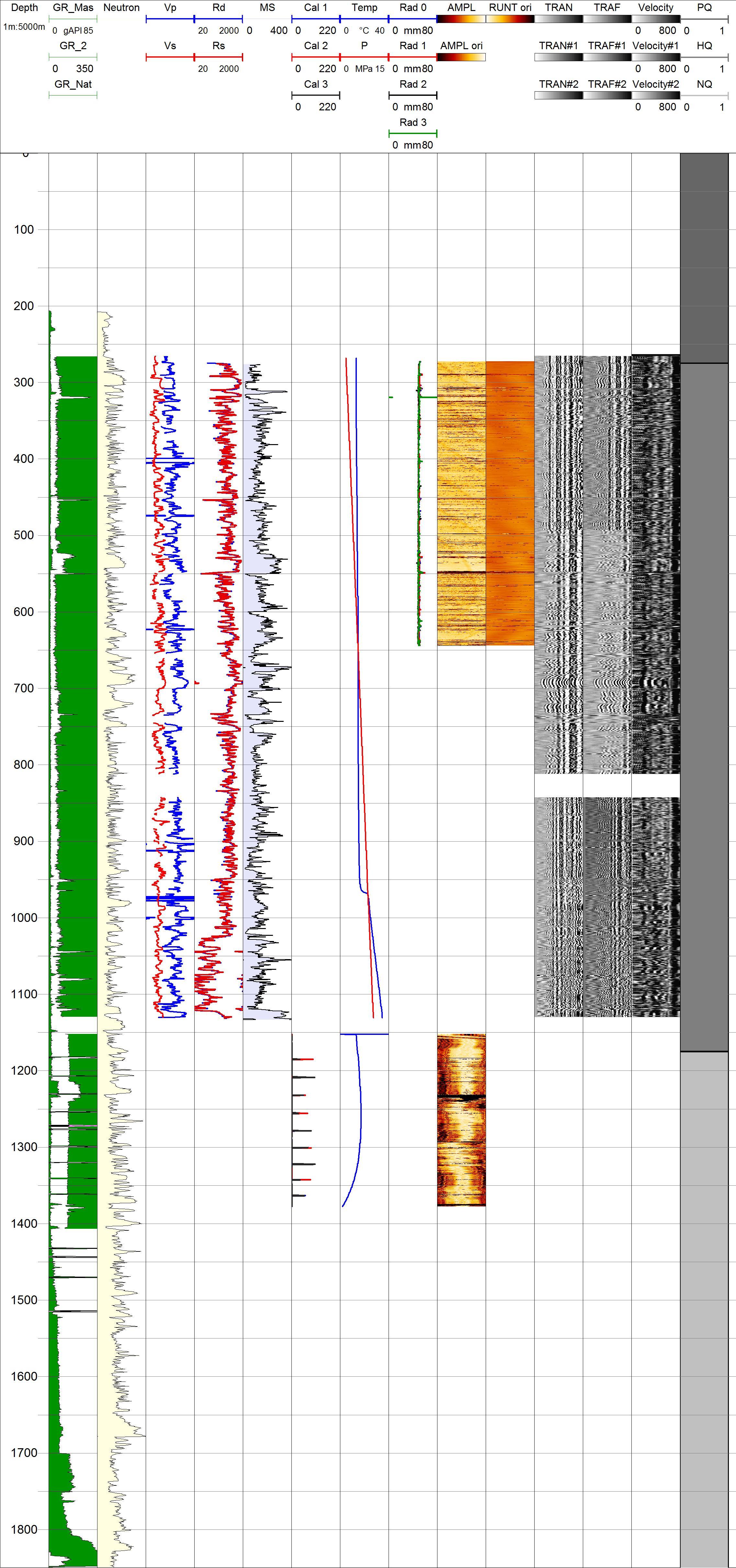
Project HOTSPOT: Kimama Well Borehole Geophysics Database
The Snake River Plain (SRP), Idaho, hosts potential geothermal resources due to elevated groundwater temperatures associated with the thermal anomaly Yellowstone-Snake River... -
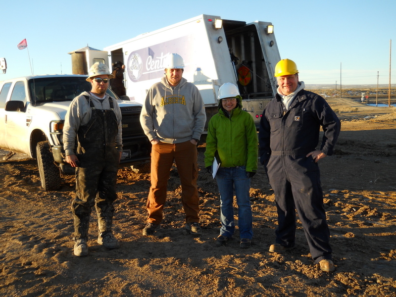
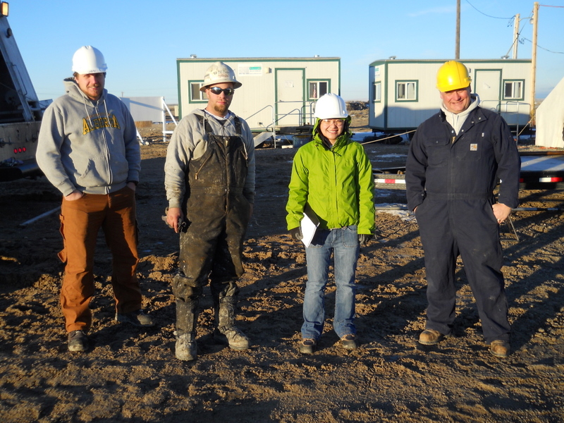
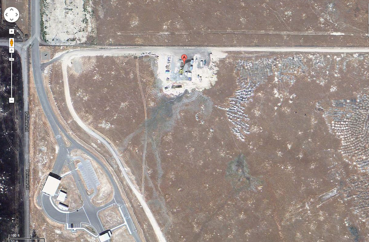
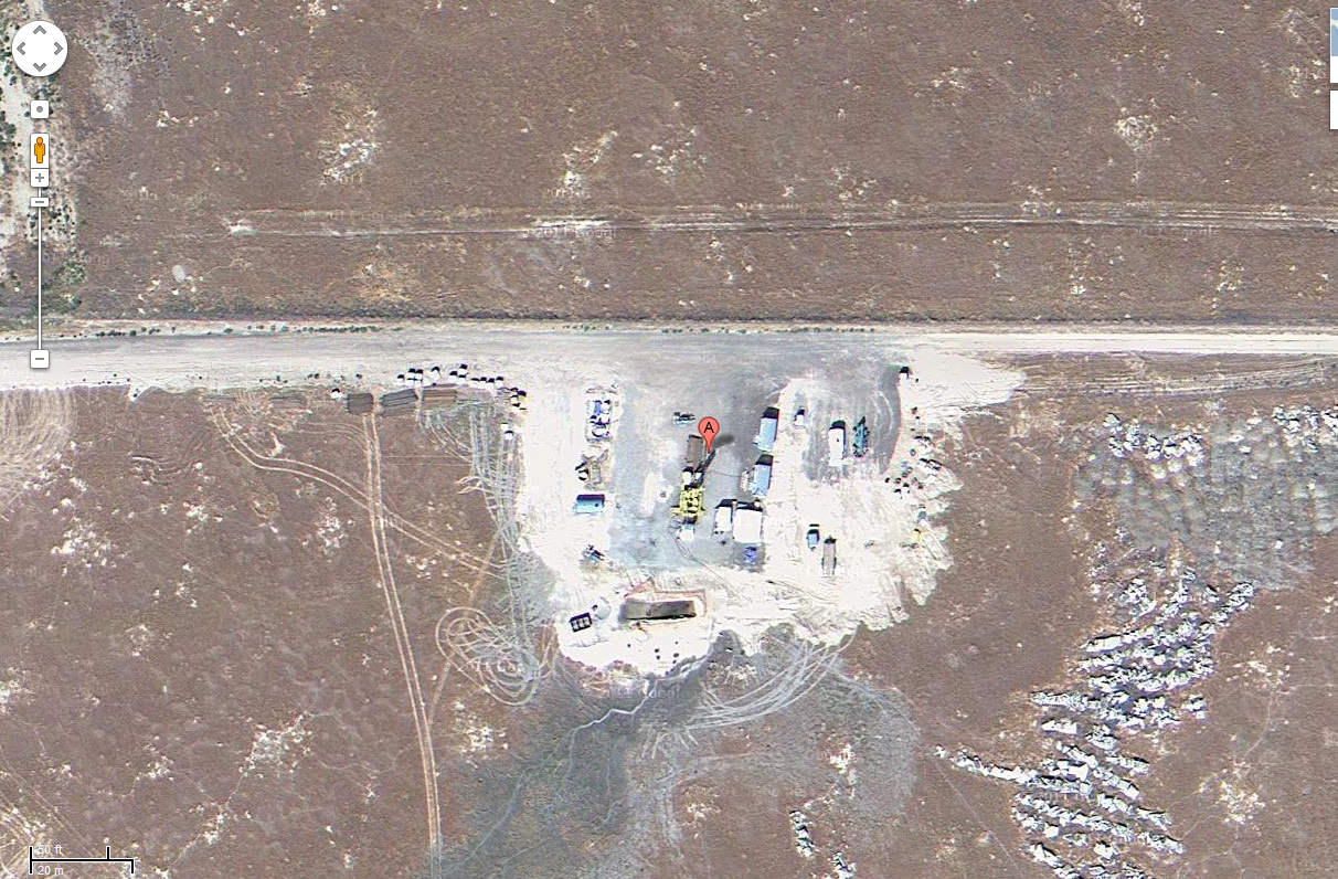
Project HOTSPOT: Kimama Well Core and Drill Site Photos
The Snake River Plain (SRP), Idaho, hosts potential geothermal resources due to elevated groundwater temperatures associated with the thermal anomaly Yellowstone-Snake River... -
Project HOTSPOT: Mountain Home Well Core and Drill Site Photos
The Snake River Plain (SRP), Idaho, hosts potential geothermal resources due to elevated groundwater temperatures associated with the thermal anomaly Yellowstone-Snake River... -
Advanced Geothermal Drilling and Logging Technologies
The objective of advanced drilling and logging technologies is to promote ways and means to reduce the cost of geothermal drilling through an integrated effort which involves... -
January 2014 Dixie Valley Binary Cycle Production Data
Dixie Valley production data for January 2014, for a DOE Report. Used to demonstrate the techno-economic feasibility of utilizing the available unused heat to generate... -
January 2014 Dixie Valley Binary Cycle Production Data Report
DOE Report of the binary cycle production data from Dixie Valley for January, 2014. Includes summarized data, operations, outages, and curtailments in order to support the...