

Datasets
-
SMAPVEX12 Core-Based In Situ Soil Moisture Data for Agricultural Area V001
This data set contains in situ soil moisture data collected with coring devices at several agricultural sites as part of the Soil Moisture Active Passive Validation Experiment... -
Turbulence Models: Data from Other Experiments: FAITH Hill 3-D Separated Flow
Exp: FAITH Hill 3-D Separated Flow. This web page provides data from experiments that may be useful for the validation of turbulence models. This resource is expected to grow... -
ARC Code TI: Pour
Pour is a general-purpose information service framework designed to accommodate a wide variety of information types with support for high volume, low frequency periodic updates,... -
DYNAMIC STRAIN MAPPING AND REAL-TIME DAMAGE STATE ESTIMATION UNDER BIAXIAL RANDOM FATIGUE LOADING
DYNAMIC STRAIN MAPPING AND REAL-TIME DAMAGE STATE ESTIMATION UNDER BIAXIAL RANDOM FATIGUE LOADING SUBHASISH MOHANTY, ADITI CHATTOPADHYAY, JOHN N. RAJADAS*, AND... -
Nut-92 Turbulence Model
This web page gives detailed information on the equations for various forms of the Nut-92 one-equation turbulence model. -
Collaborative Testing of Turbulence Models: Incompressible Flow Cases from 1980-81 Data Library
This grouping contains the incompressible-flow cases from the 1980-81 Data Library. -
IceBridge LVIS L2 Geolocated Surface Elevation Product V002
This data set contains surface elevation data over parts of Greenland, measured by the NASA Land, Vegetation, and Ice Sensor (LVIS), an airborne lidar scanning laser altimeter.... -
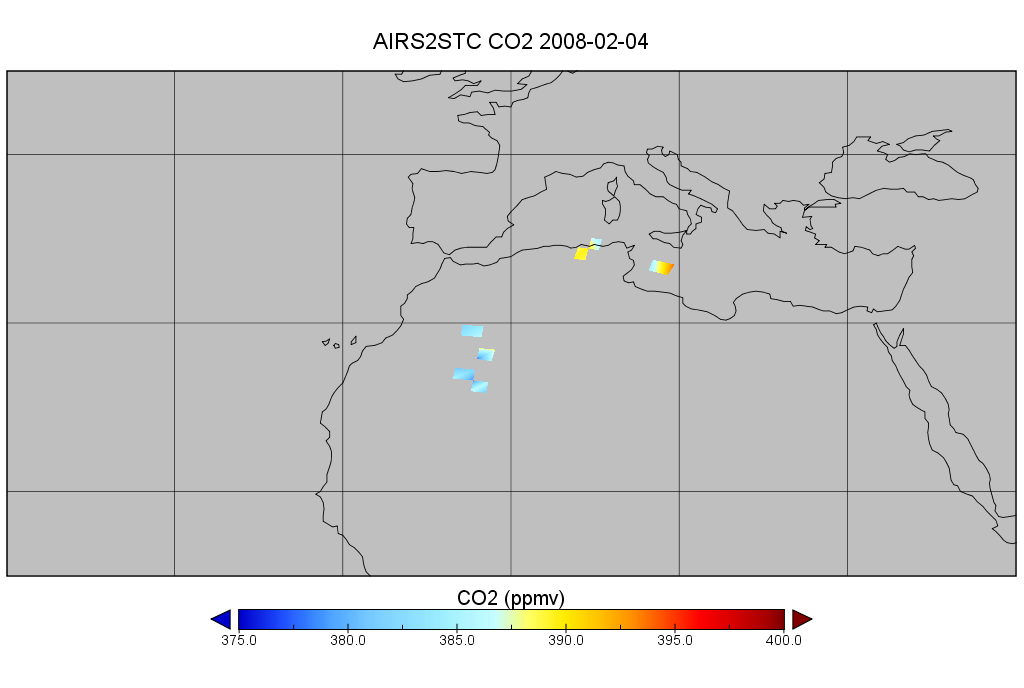
AIRS/Aqua L2 CO2 in the free troposphere (AIRS-only) V005 (AIRS2STC) at GES DISC
The Atmospheric Infrared Sounder (AIRS) is a grating spectrometer (R = 1200) aboard the second Earth Observing System (EOS) polar-orbiting platform, EOS Aqua. In combination... -
Ground-Based Global Navigation Satellite System (GNSS) GPS real-time POD Attitude Quaternions (30-second sampling, 60-second files) from NASA CDDIS
This product contains a time series of attitude quaternion components for healthy satellites in the GPS constellation that are accumulated every minute throughout the day. The... -
CDDIS_GNSS_products_erp
Earth Rotation Parameters (ERPs) derived from analysis of Global Navigation Satellite System (GNSS) data. These products are the generated by analysis centers in support of the... -
Infrared Interferometry of Auroral Ionosphere-Thermosphere Energetics Project
The FWMI prototype development is underway at USU/SDL. To develop the FWMI, USU/SDL is leveraging the successful implementation of a rocket-borne Michelson... -
OCO-2 Level 1A collated, parsed, science or calibration data V11 (OCO2_L1aIn_Sample) at GES DISC
Version 11 is the current version of the data set. Older versions will no longer be available and are superseded by Version 11. The Orbiting Carbon Observatory is the first NASA... -
ISS_COORDS_2021-06-02
This data represents the best estimated real-time trajectory and local sightings opportunities for the International Space Station (ISS) as generated by the Trajectory... -
Collaborative Testing of Turbulence Models: Incompressible Flow Cases from 1980-81 Data Library
This grouping contains the incompressible-flow cases from the 1980-81 Data Library. -
HelioWeb at the Space Physics Data Facility (SPDF)
Plot and list heliocentric orbit information for spacecraft remote from Earth and for planets having heliophysics spacecraft in orbit about them. Underlying data files contain...