


PNG Image File
URL: https://daac.ornl.gov/CMS/guides/Howland_Forest_Biomass_Map_Fig1.png
Howland_Forest_Biomass_Map_Fig1.png
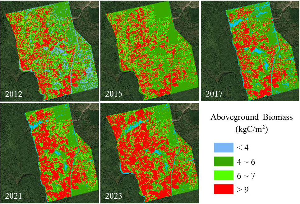
Source: Aboveground Biomass for Howland Forest, Maine, 2012-2023
About this Resource
| Last updated | unknown |
|---|---|
| Created | unknown |
| Format | PNG Image File |
| License | other-license-specified |
| Created | 1 year ago |
| Media type | image/png |
| has views | False |
| id | 942e495c-a079-4630-9da9-53bc04ffef86 |
| metadata modified | 4 months ago |
| package id | a5c4dccb-8b38-48b3-a7ce-beb9598d01af |
| position | 3 |
| state | active |
| tracking summary | {'total': 0, 'recent': 0} |