

21 datasets found
-
Federal
Declass 3 (2013) = USGS Subset of Hexagon Missions - KH-9: 1971 - 1984
Department of the Interior —
'Keyhole (KH) satellite systems- KH-9 acquired photographs of the Earth\'s surface with a telescopic camera system and transported the exposed film through the use of... -
Federal
Landsat 7 Enhanced Thematic Mapper Plus Collection 2 Level-1 NGDA
Department of the Interior —
'The USGS Earth Resources Observation and Science (EROS) Center archive holds data collected by the Landsat suite of satellites, beginning with Landsat 1 in 1972... -
Federal
Landsat 8-9 Operational Land Imager and Thermal Infrared Sensor Collection 2 Level-2
Department of the Interior —
'The USGS Earth Resources Observation and Science (EROS) Center archive holds data collected by the Landsat suite of satellites, beginning with Landsat 1 in 1972... -
Federal
Landsat 8-9 Operational Land Imager and Thermal Infrared Sensor Collection 2 Level-1 NGDA
Department of the Interior —
'The USGS Earth Resources Observation and Science (EROS) Center archive holds data collected by the Landsat suite of satellites, beginning with Landsat 1 in 1972... -
Federal
Landsat 4-5 Thematic Mapper Collection 2 Level-1 NGDA
Department of the Interior —
'The USGS Earth Resources Observation and Science (EROS) Center archive holds data collected by the Landsat suite of satellites, beginning with Landsat 1 in... -
Federal
Landsat 1-5 Multi-Spectral Scanner Collection 2 Level-1 NGDA
Department of the Interior —
'The USGS Earth Resources Observation and Science (EROS) Center archive holds data collected by the Landsat suite of satellites, beginning with Landsat 1 in 1972... -
Federal
Landsat 8 Collection 1 Level-2 Scene Products (Surface Reflectance)
Department of the Interior —
The USGS Earth Resources Observation and Science (EROS) Center archive holds data collected by the Landsat suite of satellites, beginning with Landsat 1 in 1972. All... -
Federal
Landsat 4-5 Thematic Mapper Collection 1 Level-1
Department of the Interior —
The USGS Earth Resources Observation and Science (EROS) Center archive holds data collected by the Landsat suite of satellites, beginning with Landsat 1 in 1972. All... -
Federal
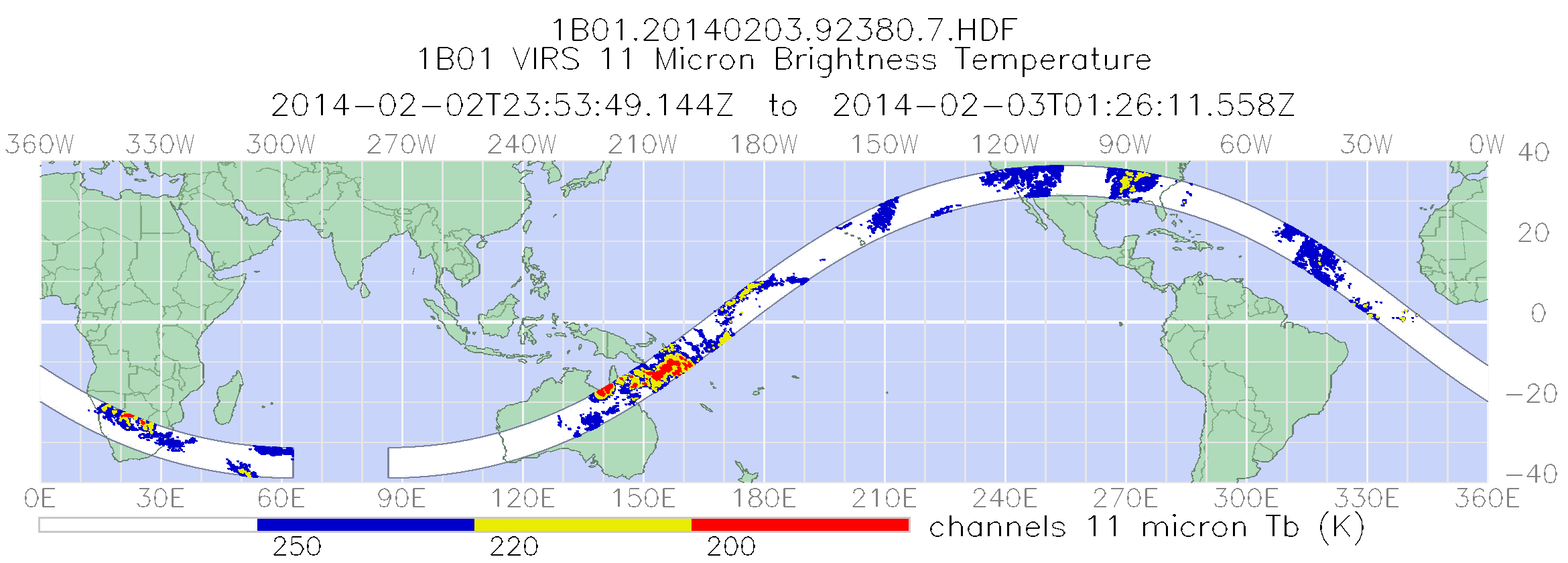
TRMM Visible and Infrared Scanner Calibrated Radiances L1B 1.5 hours V7 (TRMM_1B01) at GES DISC
National Aeronautics and Space Administration —
This TRMM Visible and Infrared Scanner (VIRS) Level 1B Calibrated Radiance Product (1B01) contains calibrated radiances and auxiliary geolocation information from the... -
Federal
Landsat 7 Enhanced Thematic Mapper Plus Collection 1 Level-1
Department of the Interior —
The USGS Earth Resources Observation and Science (EROS) Center archive holds data collected by the Landsat suite of satellites, beginning with Landsat 1 in 1972. All... -
Federal
Landsat 4-5 Collection 1 Level-2 Scene Products (Surface Reflectance)
Department of the Interior —
The USGS Earth Resources Observation and Science (EROS) Center archive holds data collected by Landsat 4 and 5. All Landsat data held in the USGS EROS archive are... -
Federal
Landsat 7 Collection 1 Level-2 Scene Products (Surface Reflectance)
Department of the Interior —
The USGS Earth Resources Observation and Science (EROS) Center archive holds data collected by the Landsat suite of satellites, beginning with Landsat 1 in 1972. All... -
Federal
TRMM Microwave Imager Calibrated Radiances L1B 1.5 hours V7 (TRMM_1B11) at GES DISC
National Aeronautics and Space Administration —
The new version of these data is in GPM-like format (consistent with the GPM Microwave Imager data format), and can be found under the name GPM_1BTMI (search by... -
Federal
TRMM Attitude and TMI Packets and Header Record L1A V7 (TRMM_1A11) at GES DISC
National Aeronautics and Space Administration —
The Level-1A Product file, "1A11", is a concatenation of Header record, Spacecraft Attitude packets, TMI Housekeeping packets, TMI Science Data packets, QACs and an... -
Federal
Landsat 4-5 Thematic Mapper Collection 2 Level-2
Department of the Interior —
'The USGS Earth Resources Observation and Science (EROS) Center archive holds data collected by the Landsat suite of satellites, beginning with Landsat 1 in 1972... -
Federal
Landsat 8 Operational Land Imager and Thermal Infrared Sensor Collection 1 Level-1
Department of the Interior —
The USGS Earth Resources Observation and Science (EROS) Center archive holds data collected by the Landsat suite of satellites, beginning with Landsat 1 in 1972. All... -
Federal
Tri-Decadal Global Landsat Orthorectified ETM+ Systematically Corrected: 1999-2003
Department of the Interior —
'The U.S. Geological Survey (USGS) Earth Resources Observation and Science (EROS) Center archive holds data collected by the Landsat suite of satellites, beginning... -
Federal
Landsat 7 Enhanced Thematic Mapper Plus Collection 2 Level-2
Department of the Interior —
'The USGS Earth Resources Observation and Science (EROS) Center archive holds data collected by the Landsat suite of satellites, beginning with Landsat 1 in 1972... -
Federal
TRMM Attitude and VIRS Packets and Header Record L1A V7 (TRMM_1A01) at GES DISC
National Aeronautics and Space Administration —
The Level-1A Product file, "1A01", is a concatenation of Header record, Spacecraft Attitude packets, VIRS Housekeeping Data packets, VIRS Science Data packets, QACs,... -
Federal
U.S. Landsat 4-8 Analysis Ready Data (ARD) Level-2 Tiles (Albers projection)
Department of the Interior —
The Analysis Ready Data (ARD) Landsat Level-2 Tiles consist of surface reflectance (SR), surface temperature (ST), top of atmosphere (TA) reflectance, brightness...
21 datasets found