

45 datasets found
-
Federal
Feral burro detections from aerial infrared surveys collected in Sinbad Herd Management Area, Utah, USA, from 2015-2016
Department of the Interior —
These data are detections of burros in the Sinbad Herd Management Area in central Utah made during aerial thermal infrared-based distance sampling surveys in December... -
Federal
Appendices for Geothermal Exploration Artificial Intelligence Report
Department of Energy —
The Geothermal Exploration Artificial Intelligence looks to use machine learning to spot geothermal identifiers from land maps. This is done to remotely detect... -
Federal
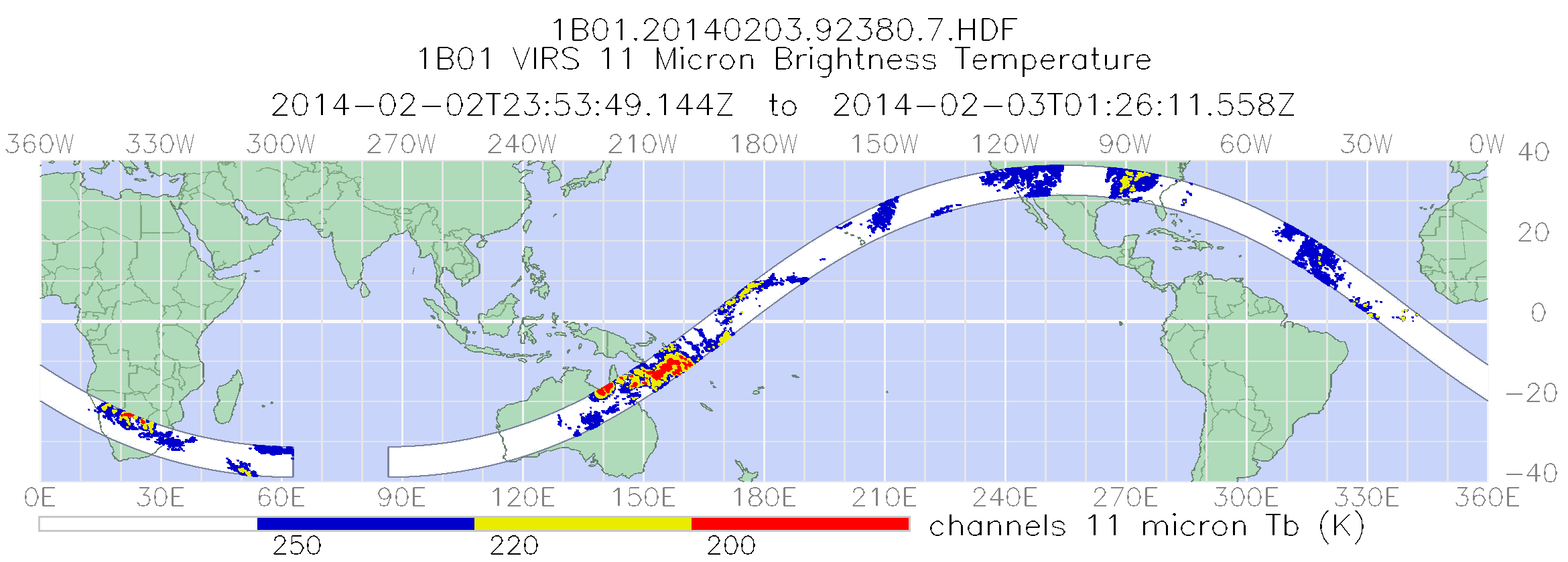
TRMM Visible and Infrared Scanner Calibrated Radiances L1B 1.5 hours V7 (TRMM_1B01) at GES DISC
National Aeronautics and Space Administration —
This TRMM Visible and Infrared Scanner (VIRS) Level 1B Calibrated Radiance Product (1B01) contains calibrated radiances and auxiliary geolocation information from the... -
Federal
Areas with Surface Thermal Anomalies as Detected by ASTER and LANDSAT Data in Northwest Delta, Colorado
Department of Energy —
This map shows areas of anomalous surface temperature in northern Saguache Counties identified from ASTER and LANDSAT thermal data and spatial based insolation model.... -
Federal
Areas of Weakly Anomalous to Anomalous Surface Temperature in Routt County, Colorado, as Identified from ASTER Thermal Data
Department of Energy —
Note: This "Weakly Anomalous to Anomalous Surface Temperature" dataset differs from the "Anomalous Surface Temperature" dataset for this county (another remotely... -
Federal
[Data Release] Using Thermal Infrared Cameras to Detect Avian Chicks at Various Distances and Vegetative Coverages
Department of the Interior —
These data represent the ability of two thermal infrared cameras to detect a chicken chick under a variety of vegetation coverage's. -
Federal
Airborne Thermal Infrared and High-resolution True-color Imagery and Longitudinal Profiles of Stream Temperatures, Upper Donner und Blitzen River Basin, Oregon, August 2020
Department of the Interior —
This dataset includes georeferenced, high-resolution, airborne thermal infrared (TIR) and high-resolution true-color imagery, a polyline shapefile of the channel... -
Federal
Areas with Surface Thermal Anomalies as Detected by ASTER and LANDSAT Data around Pinkerton Hot Springs, Colorado
Department of Energy —
This map shows areas of anomalous surface temperature in northern Saguache Counties identified from ASTER and LANDSAT thermal data and spatial based insolation model.... -
Federal
Areas of Weakly Anomalous to Anomalous Surface Temperature in Chaffee County, Colorado, as Identified from ASTER Thermal Data
Department of Energy —
Note: This "Weakly Anomalous to Anomalous Surface Temperature" dataset differs from the "Anomalous Surface Temperature" dataset for this county (another remotely... -
Federal
TRMM Microwave Imager Calibrated Radiances L1B 1.5 hours V7 (TRMM_1B11) at GES DISC
National Aeronautics and Space Administration —
The new version of these data is in GPM-like format (consistent with the GPM Microwave Imager data format), and can be found under the name GPM_1BTMI (search by... -
Federal
TRMM Attitude and TMI Packets and Header Record L1A V7 (TRMM_1A11) at GES DISC
National Aeronautics and Space Administration —
The Level-1A Product file, "1A11", is a concatenation of Header record, Spacecraft Attitude packets, TMI Housekeeping packets, TMI Science Data packets, QACs and an... -
Federal
Areas of Anomalous Surface Temperature in Chaffee County, Colorado, as Identified from ASTER Thermal Data
Department of Energy —
This layer contains areas of anomalous surface temperature in Chaffee County identified from ASTER thermal data and spatial based insolation model. The temperature is... -
Federal
Areas of Anomalous Surface Temperature in Garfield County, Colorado, as Identified from ASTER Thermal Data
Department of Energy —
This layer contains areas of anomalous surface temperature in Garfield County identified from ASTER thermal data and spatial based insolation model. The temperature... -
Federal
Memos Relating to 2011 Field Checking of CIRES ASTER Thermal Targets
Department of Energy —
In 2010 and 2011, Flint Geothermal commissioned CIRES from the University of Colorado to attempt to detect "blind" or buried geothermal systems using remote sensing.... -
Federal
Areas of Anomalous Surface Temperature in Dolores County, Colorado, as Identified from ASTER Thermal Data
Department of Energy —
This layer contains areas of anomalous surface temperature in Dolores County identified from ASTER thermal data and spatial based insolation model. The temperature is... -
Federal
Summer Cave Bat Monitoring at Cumberland Piedmont Network (CUPN): 2014-2018 — Raw Data (PUBLIC)
Department of the Interior —
Four parks in the Cumberland Piedmont Network (CUPN) have selected cave-roosting bats as a high priority vital sign for long-term monitoring: Chickamauga and... -
Federal
Memos Relating to High-Priority Geothermal Targets in Colorado Selected for Further Study - Flint Geothermal 2012
Department of Energy —
This dataset contains several memos describing geothermal targets outlined by Flint personnel in Colorado. Phase 1 involved an ASTER and LANDSAT thermal infrared... -
Federal
Areas with Surface Thermal Anomalies as Detected by ASTER and LANDSAT Data in Ouray, Colorado
Department of Energy —
This map shows areas of anomalous surface temperature in Ouray identified from ASTER and LANDSAT thermal data and spatial based insolation model. The temperature for... -
Federal
Areas with Surface Thermal Anomalies as Detected by ASTER and LANDSAT Data around South Canyon Hot Springs, Garfield County, Colorado
Department of Energy —
This map shows areas of anomalous surface temperature around South Canyon Hot Springs as identified from ASTER and LANDSAT thermal data and spatial based insolation... -
Federal
Spatial Analysis of CIRES ASTER and LANDSAT thermal infrared anomalies
Department of Energy —
CIRES provided polygon shapefiles showing areas of anomalously warm ground, derived from ASTER and LANDSAT remotely sensed thermal infrared imagery. Partly from these...
45 datasets found