


113 datasets found
-
Federal
Utah FORGE: Well 16A(78)-32 Drilling Data
Department of Energy —
This dataset includes survey data, drilling data, daily reports, summaries of daily operations, and rig photos from the drilling of Utah FORGE well 16A(78)-32, which... -
Federal
Multispectral aerial imagery collected during uncrewed aircraft systems (UAS) operations: Plum Island Estuary and Parker River NWR (PIEPR), Massachusetts, November 14, 2017 and March 28, 2019
Department of the Interior —
Low-altitude (80 and 100 meters above ground level) digital images were collected by the USGS Woods Hole Coastal and Marine Science Center (WHCMSC) Aerial Imaging and... -
Federal
NOAA's Coastal Aerial Photography
National Oceanic and Atmospheric Administration, Department of Commerce —
One of the primary missions of the National Ocean Service (NOS) and its predecessor agencies has been to accurately survey the coast of the United States. Beginning... -
Federal
Silver Peak Innovative Exploration Project (Ram Power Inc.)
Department of Energy —
Data generated from the Silver Peak Innovative Exploration Project, in Esmeralda County, Nevada, encompasses a deep-circulation (amagmatic) meteoric-geothermal system... -
Federal
Sodus North orthomosaic from low-altitude aerial imagery from unmanned aerial systems (UAS) flights over of the Lake Ontario shoreline in the vicinity of Sodus Bay, New York in July 2017 (GeoTIFF image)
Department of the Interior —
Low-altitude (80-100 meters above ground level) digital images were obtained from a camera mounted on a 3DR Solo quadcopter, a small unmanned aerial system (UAS),... -
Federal
Lake Bluffs orthomosaic from low-altitude aerial imagery from unmanned aerial systems (UAS) flights over of the Lake Ontario shoreline in the vicinity of Sodus Bay, New York in July 2017 (GeoTIFF image)
Department of the Interior —
Low-altitude (80-100 meters above ground level) digital images were obtained from a camera mounted on a 3DR Solo quadcopter, a small unmanned aerial system (UAS),... -
Federal
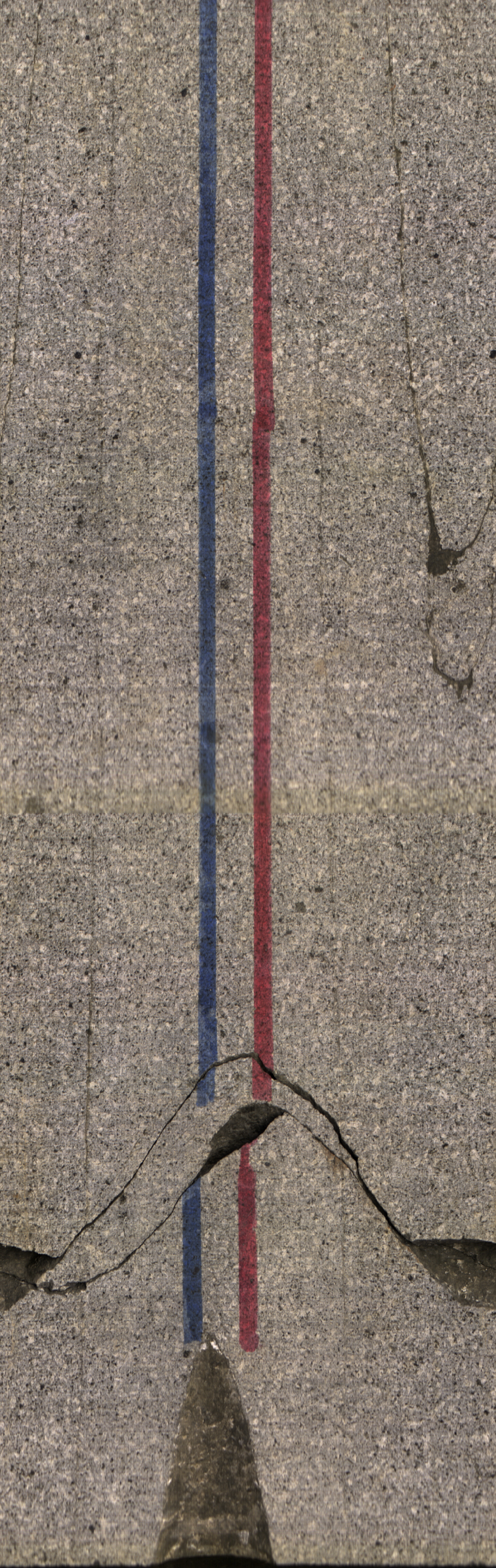
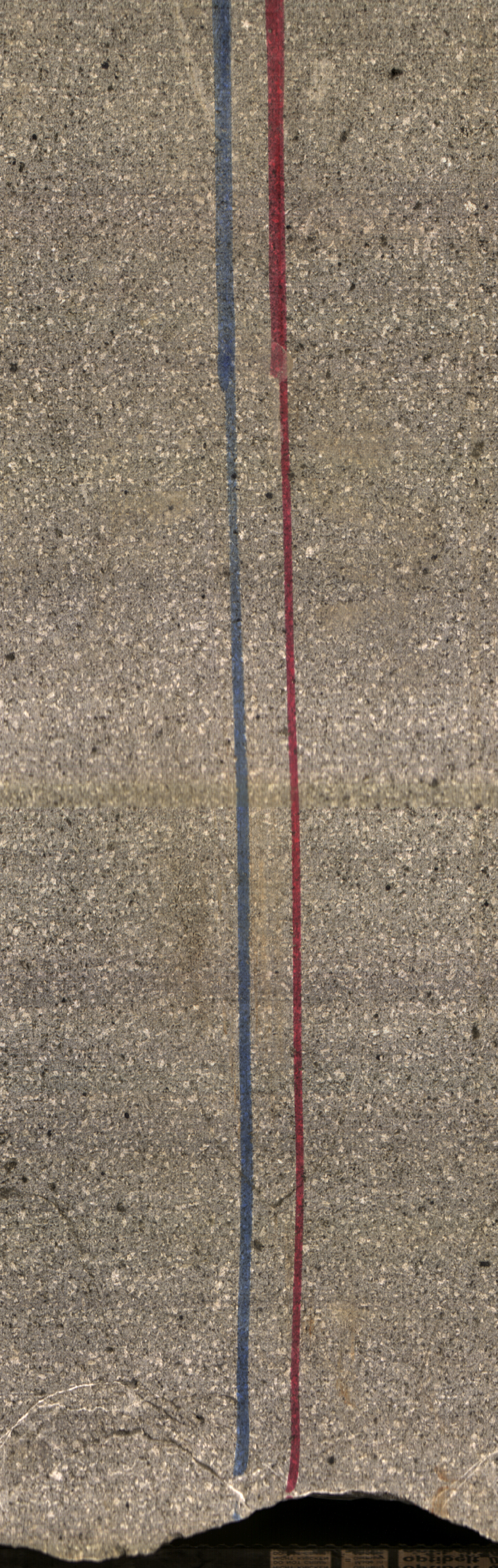
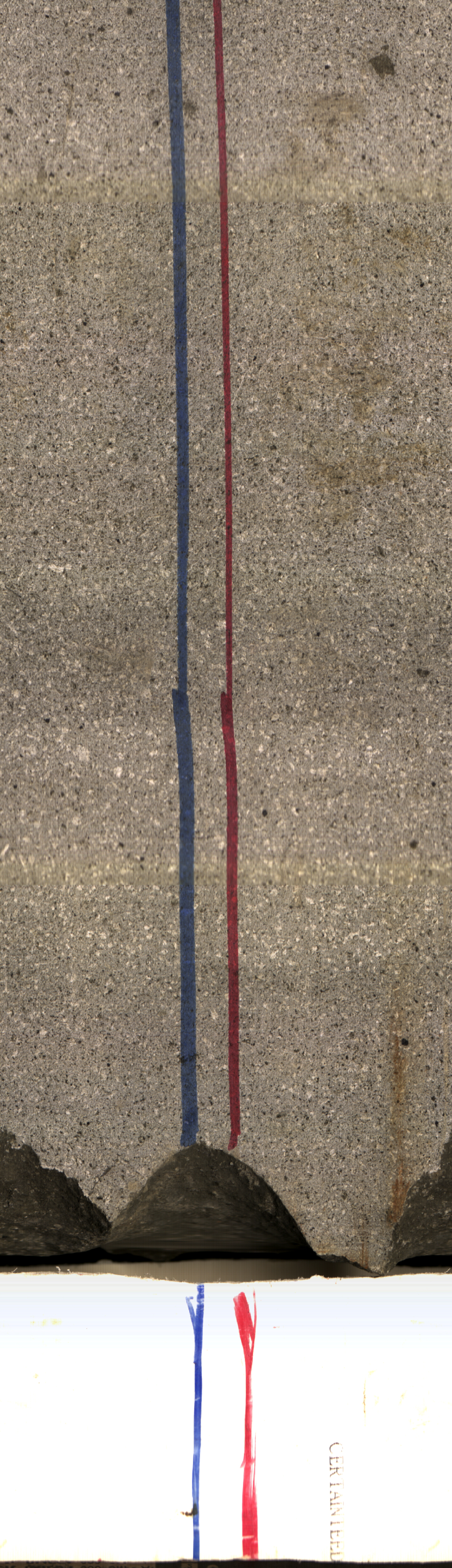
Project HOTSPOT: Kimberly Well Core Photos
Department of Energy —
The Snake River Plain (SRP), Idaho, hosts potential geothermal resources due to elevated groundwater temperatures associated with the thermal anomaly Yellowstone-... -
Federal
Geotagged images of sediment grabs collected in the vicinity of Buffalo Reef, Michigan, within Lake Superior during USGS Field Activity 2021-005-FA using the USGS MiniSEABOSS (JPEG images; GCS WGS 84)
Department of the Interior —
In August 2021, the U.S. Geological Survey, in collaboration with the U.S. Army Corps of Engineers, collected high-resolution geophysical data, sediment samples, and... -
Federal
Braddock East point cloud from low-altitude aerial imagery from unmanned aerial systems (UAS) flights over of the Lake Ontario shoreline in the vicinity of Braddock Bay, New York in July 2017 (LAZ file).
Department of the Interior —
Low-altitude (80-100 meters above ground level) digital images were obtained from a camera mounted on a 3DR Solo quadcopter, a small unmanned aerial system (UAS), in... -
Federal
Radiometric thermal aerial imagery from unmanned aerial systems (UAS) flights: Potomac River in Brunswick Maryland on October 22, 2019
Department of the Interior —
These digital images were taken over an area of the Potomac River in Brunswick, Maryland using 3DR Solo unmanned aircraft systems (UAS) on October 22, 2019. These... -
Federal
Snake River Plain FORGE: Well Data for USGS-142
Department of Energy —
Well data for the USGS-142 well located in eastern Snake River Plain, Idaho. This data collection includes lithology reports, borehole logs, and photos of rhyolite... -
County
Aerial Archive
Loudoun County, Virginia —
The Loudoun County Aerial Archive includes imagery from 1937, 1957, and 2002 forward, as well as a selection of historical maps. -
Federal
Laboratory Observations of Artificial Sand and Oil Agglomerates Video and Velocity Data: False-Floor Experiment Interpretive Video
Department of the Interior —
Weathered oil in the surf-zone after an oil spill may mix with suspended sediments to form sand and oil agglomerates (SOA). Sand and oil agglomerates may form in mats... -
Federal
Development of 3D Geological Model of Tuscarora Sandstone for Feasibility of Deep Direct-Use Geothermal at West Virginia University Main Campus
Department of Energy —
The subsurface uncertainty at West Virginia University Main Campus is dominated by the uncertainty in the projections of geofluid flowrate in the target formation,... -
Federal
Plankton relative abundance from net samples and quantitative phytoplankton profiles data collected from R/V Bellows cruise BE-1317 in the Gulf of Mexico from 2013-04-06 to 2013-04-08 (NCEI Accession 0176344)
National Oceanic and Atmospheric Administration, Department of Commerce —
This dataset reports plankton species abundance from 14 sites off the Florida Panhandle Bight at the head of DeSoto Canyon, Gulf of Mexico aboard the R/V Bellows... -
Federal
Multispectral aerial imagery from unmanned aerial systems (UAS) flights: Potomac River in White's Ferry, Maryland on October 23, 2019
Department of the Interior —
These digital images were taken over an area of the Potomac River in White's Ferry, Maryland using 3DR Solo unmanned aircraft systems (UAS) on October 23, 2019. These... -
Federal
Alum Innovative Exploration Project (Ram Power Inc.)
Department of Energy —
Data generated from the Alum Innovative Exploration Project, one of several promising geothermal properties located in the middle to upper Miocene (~11-5 Ma, or... -
Federal
Location of bottom photographs along with images collected by the U.S. Geological Survey in 2014 along the Delmarva Peninsula, MD and VA (JPEG images and Esri point shapefile, Geographic, WGS 84)
Department of the Interior —
The Delmarva Peninsula is a 220-kilometer-long headland, spit, and barrier island complex that was significantly affected by Hurricane Sandy. A U.S. Geological Survey... -
Federal
Multispectral aerial imagery from unmanned aerial systems (UAS) flights and image locations: Plum Island Estuary and Parker River NWR (PIEPR), February 27th, 2018
Department of the Interior —
Low-altitude (80 and 100 meters above ground level) digital images were taken over an area of the Plum Island Estuary and Parker River National Wildlife Refuge (NWR)... -
Federal
Geotagged sea-floor photographs and location of bottom photographs collected in Nantucket Sound, Massachusetts, in May 2016 and May 2017 by the U.S. Geological Survey during field activities 2016-005-FA and 2017-022-FA (JPEG images, point shapefile, and CSV file)
Department of the Interior —
Two marine geological surveys were conducted in Nantucket Sound, Massachusetts, in May 2016 and May 2017 by the U.S. Geological Survey (USGS) as part of an agreement...

113 datasets found