-
Federal
Global Ocean Data Analysis Project version 2.2020 (GLODAPv2.2020) (NCEI Accession 0210813)
National Oceanic and Atmospheric Administration, Department of Commerce —
This dataset consists of the GLODAPv2.2020 data product composed of data from 946 scientific cruises covering the global ocean between 1972 and 2019. It includes full... -
Federal
Utah FORGE: Well 78B-32 Daily Drilling Reports and Logs
Department of Energy —
This data set includes the daily drilling reports and Pason data for well 78B-32 and Schlumberger logs acquired after drilling completion. This well was drilled... -
Federal
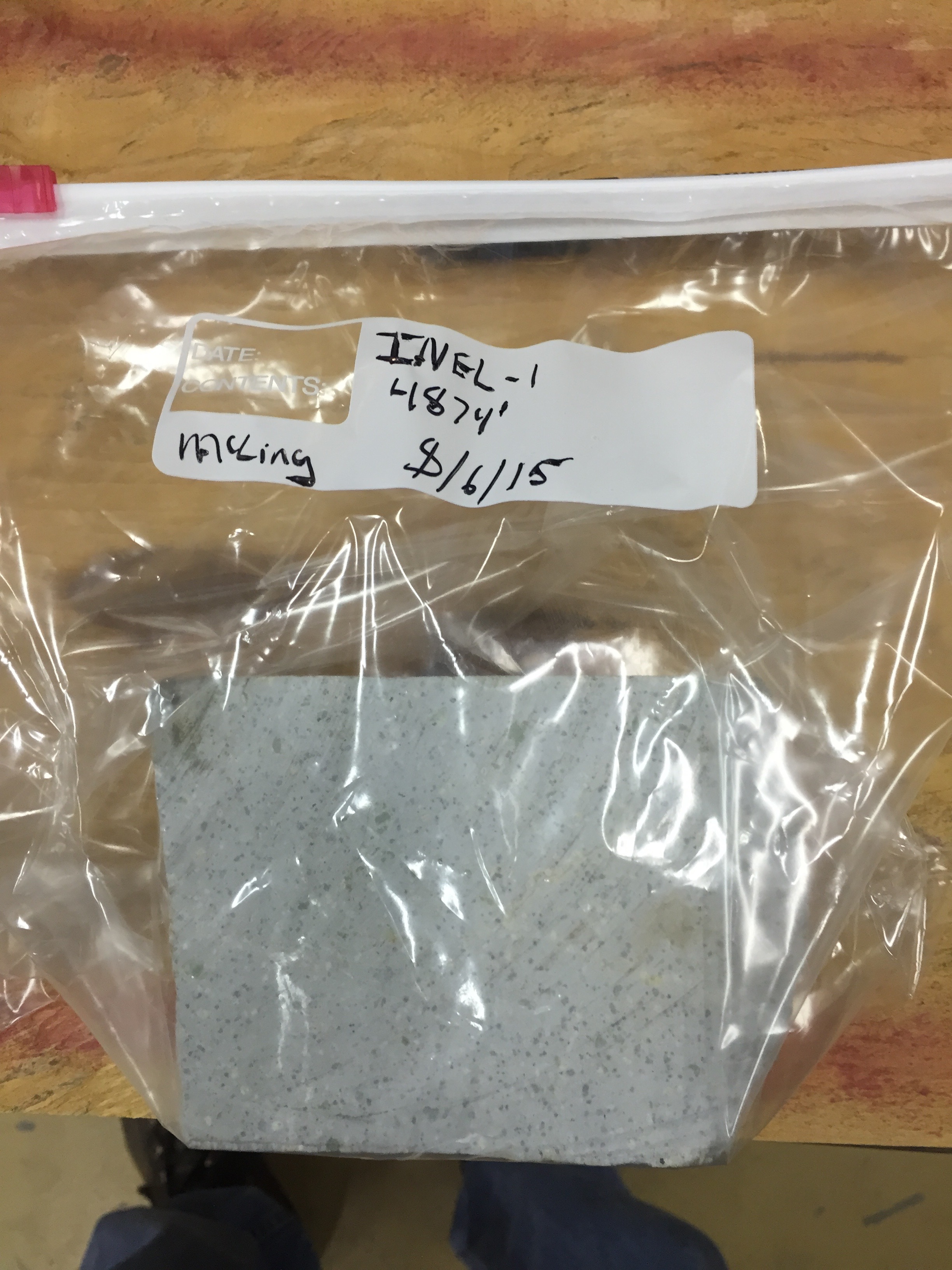
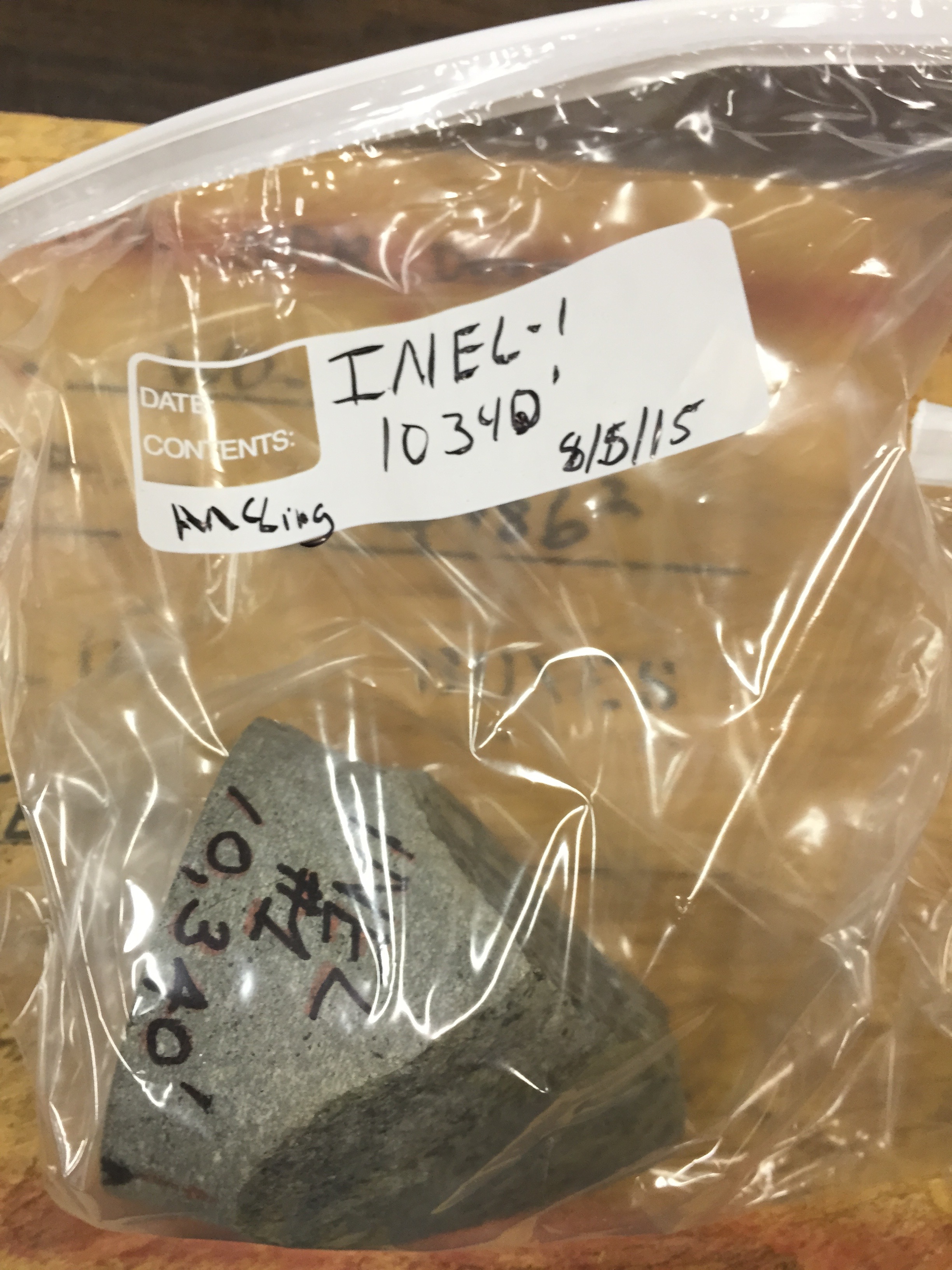
Snake River Plain FORGE: Well Data for INEL-1
Department of Energy —
Well data for the INEL-1 well located in eastern Snake River Plain, Idaho. This data collection includes caliper logs, lithology reports, borehole logs, temperature... -
Federal
RadNet Map Interface for Near-Real-Time Radiation Monitoring Data
U.S. Environmental Protection Agency —
RadNet is a national network of monitoring stations that regularly collect air, precipitation, drinking water, and milk samples for analysis of radioactivity. The... -
Federal
Utah FORGE: Well 56-32 Drilling Data and Logs
Department of Energy —
This dataset consists of drilling data (Pason data spreadsheets, daily reports, days v. depth, mud logs), Schlumberger logs (FMI, shear anisotropy analysis, memory,... -
Federal
Global Ocean Data Analysis Project version 2.2023 (GLODAPv2.2023) (NCEI Accession 0283442)
National Oceanic and Atmospheric Administration, Department of Commerce —
This dataset consists of the GLODAPv2.2023 data product composed of data from 1108 scientific cruises covering the global ocean between 1972 and 2021. It includes... -
Federal
RadNet Map Interface for Near-Real-Time Radiation Monitoring Data
U.S. Environmental Protection Agency —
RadNet is a national network of monitoring stations that regularly collect air, precipitation, drinking water, and milk samples for analysis of radioactivity. The... -
Federal
Fallon FORGE: Well Data, Geophysical Data, and Geologic Maps
Department of Energy —
The data is associated to the Fallon FORGE project and includes mudlogs for all wells used to characterize the subsurface, as wells as gravity, magnetotelluric,... -
Federal
Fort Bliss Geothermal Area Data: Temperature Profile, Logs, Schematic Model and Cross Section
Department of Energy —
This dataset contains a variety of data about the Fort Bliss geothermal area, part of the southern portion of the Tularosa Basin, New Mexico. The dataset contains... -
Federal
LAT 2-year Point Source Catalog Aperture Photometry Lightcurves
National Aeronautics and Space Administration —
Due to a glitch in the analysis pipeline there are apparent increases in flux around MJD 56810 for many sources. These increases are not real and should be... -
Federal
Fermi LAT GRBs
National Aeronautics and Space Administration —
All analysis results presented here are preliminary and are not intended as an official catalog of Fermi-LAT detected GRBs. Please consult the table's caveat page for... -
Federal
LAT 1-year Point Source Catalog
National Aeronautics and Space Administration —
The Fermi Gamma-ray Space Telescope (Fermi) Large Area Telescope (LAT) is a successor to EGRET, with greatly improved sensitivity, resolution, and energy range. This... -
Federal
LAT 2-year Point Source Catalog
National Aeronautics and Space Administration —
The Fermi Gamma-ray Space Telescope (Fermi) Large Area Telescope (LAT) is a successor to EGRET, with greatly improved sensitivity, resolution, and energy range. This... -
Federal
Global Ocean Data Analysis Project version 2.2022 (GLODAPv2.2022) (NCEI Accession 0257247)
National Oceanic and Atmospheric Administration, Department of Commerce —
This dataset consists of the GLODAPv2.2022 data product composed of data from 1085 scientific cruises covering the global ocean between 1972 and 2021. It includes... -
Federal
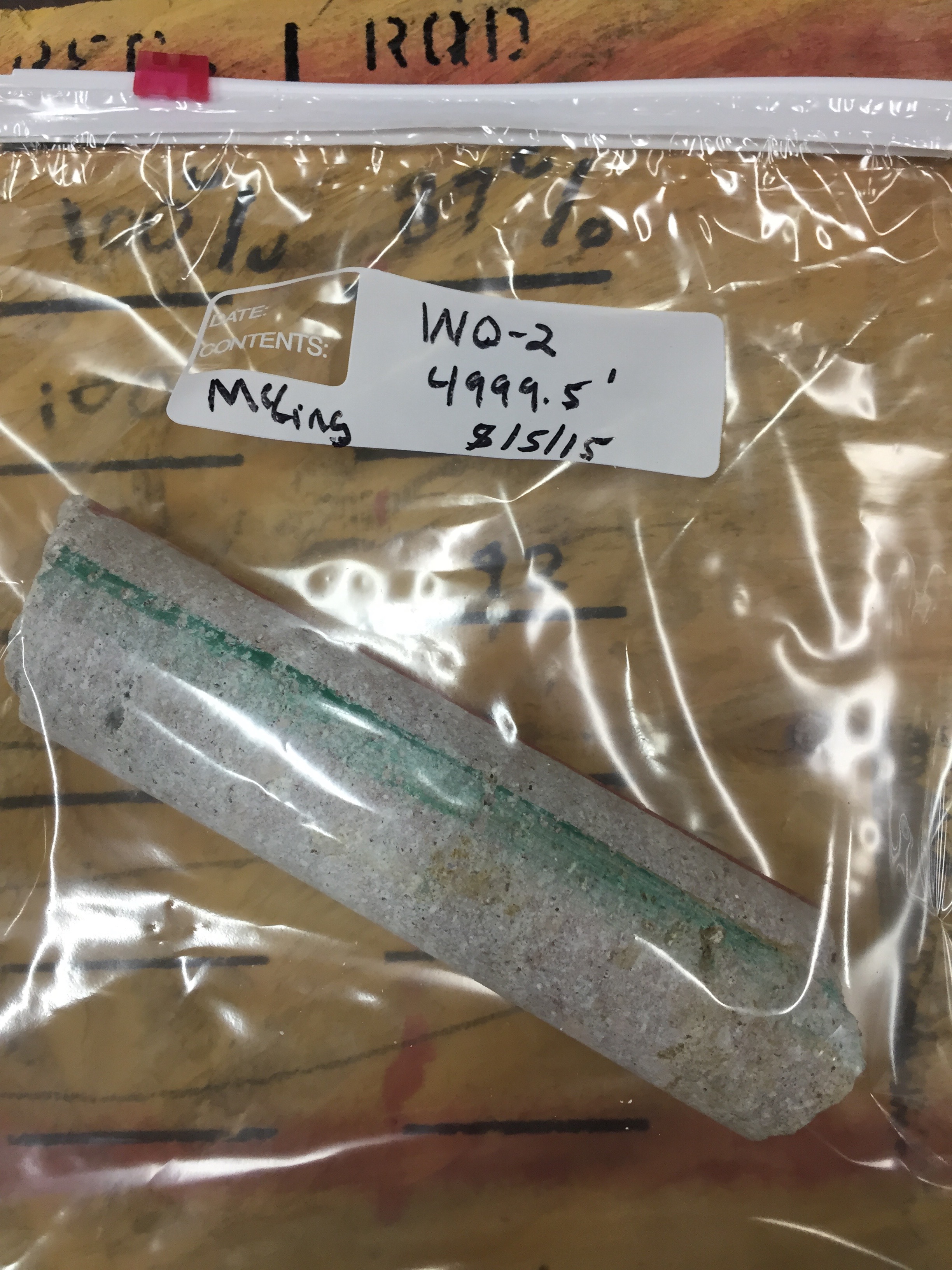
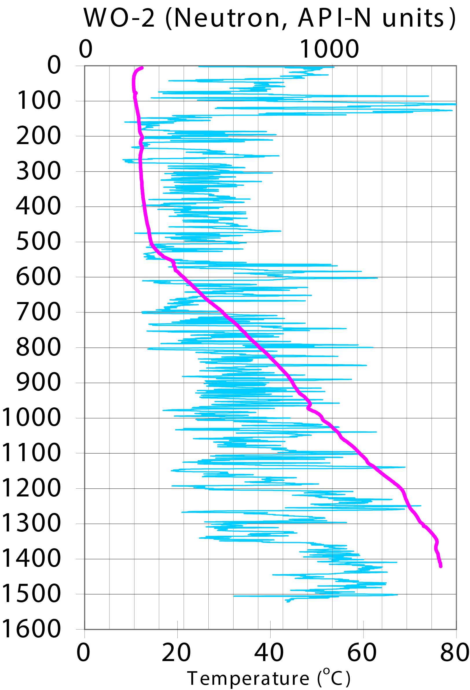
Snake River Plain FORGE: Well Data for WO-2
Department of Energy —
Well data for the WO-2 well located in eastern Snake River Plain, Idaho. This data collection includes lithology reports, borehole logs, temperature at depth data,... -
Federal
Utah FORGE: Rock Properties
Department of Energy —
This is an Excel spreadsheet that contains rock properties from several wells in the Utah FORGE study area. This includes a map of the wells. Data is described in the... -
Federal
LAT 2-year Point Source Catalog
National Aeronautics and Space Administration —
The Fermi Gamma-ray Space Telescope (Fermi) Large Area Telescope (LAT) is a successor to EGRET, with greatly improved sensitivity, resolution, and energy range. This... -
Federal
First Fermi-LAT Catalog of Sources above 10 GeV (1FHL)
National Aeronautics and Space Administration —
This catalog of LAT sources above 10 GeV reports the locations, spectra, and variability properties of the 514 sources significantly detected in this range during the... -
Federal
First Fermi-LAT Catalog of Sources above 10 GeV (1FHL)
National Aeronautics and Space Administration —
This catalog of LAT sources above 10 GeV reports the locations, spectra, and variability properties of the 514 sources significantly detected in this range during the... -
Federal
First Fermi-LAT Catalog of Sources above 10 GeV (1FHL)
National Aeronautics and Space Administration —
This catalog of LAT sources above 10 GeV reports the locations, spectra, and variability properties of the 514 sources significantly detected in this range during the...

Official websites use .gov
A
.gov website belongs to an official government
organization in the United States.
Secure .gov websites use HTTPS
A
lock (
) or https:// means you’ve safely connected to
the .gov website. Share sensitive information only on official,
secure websites.