-
Federal
National Transit Map Stops NGDA
Department of Transportation —
The National Transit Map - Stops dataset was compiled on December 02, 2025 from the Bureau of Transportation Statistics (BTS) and is part of the U.S. Department of... -
Federal
CARICOOS Wave Buoy (Rincon, PR): Historical (2012 - 2025), Wave Data
National Oceanic and Atmospheric Administration, Department of Commerce —
Directional wave and sea surface temperature measurements collected in situ by Datawell Waverider buoys located near RINCON, PUERTO RICO from 2011/04/29 to... -
Federal
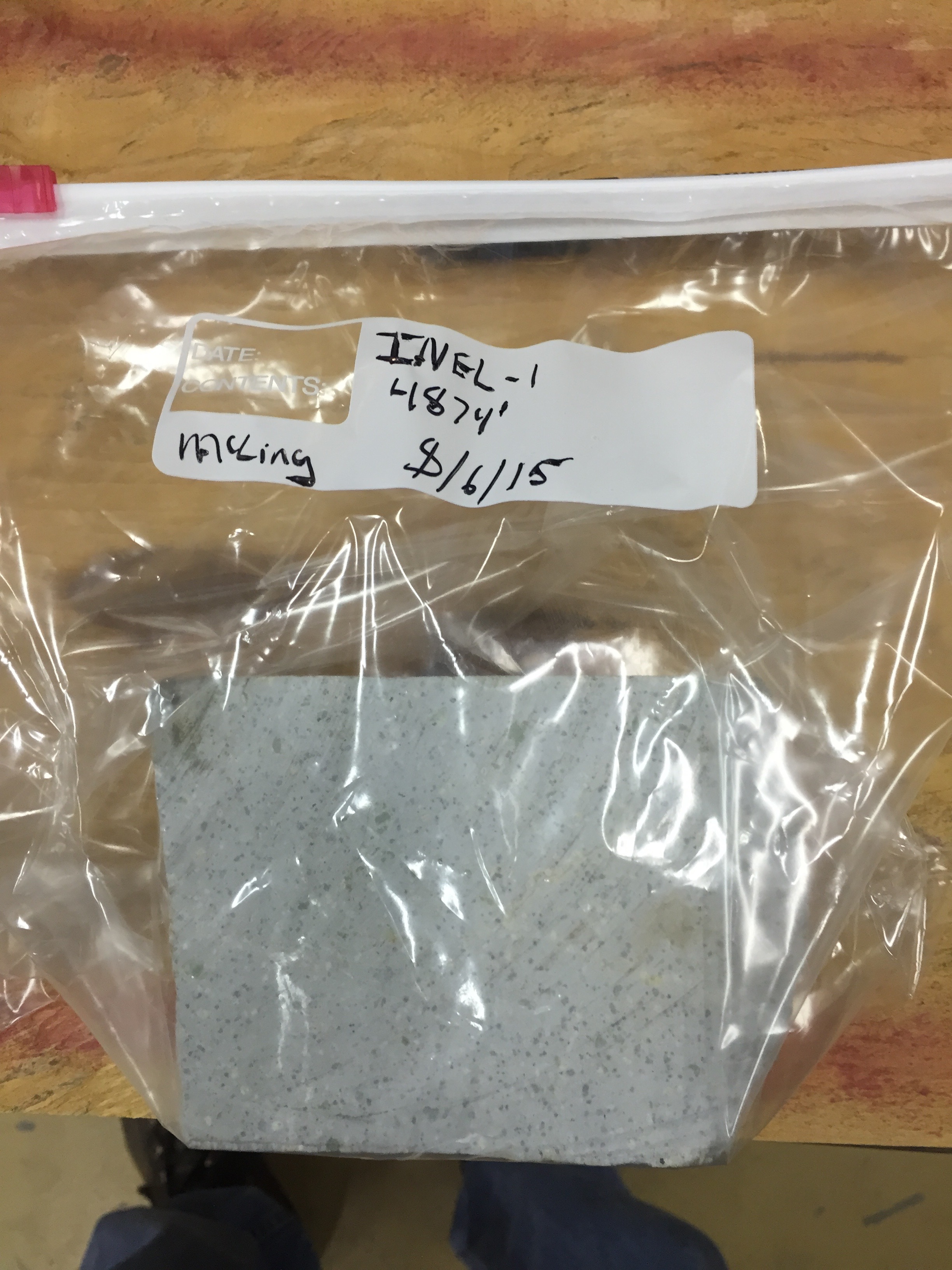
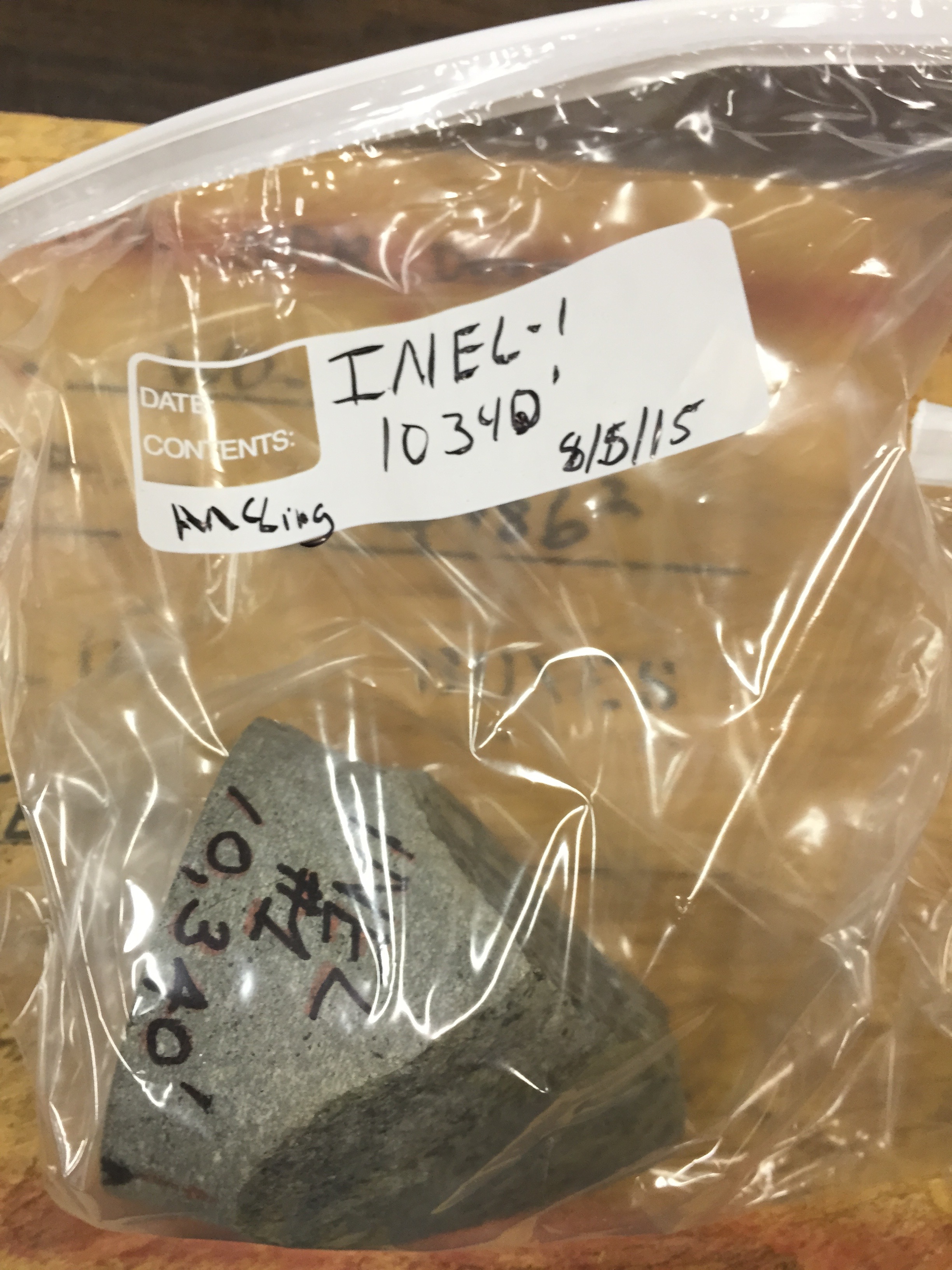
Snake River Plain FORGE: Well Data for INEL-1
Department of Energy —
Well data for the INEL-1 well located in eastern Snake River Plain, Idaho. This data collection includes caliper logs, lithology reports, borehole logs, temperature... -
Federal
Vegetation Monitoring in the Great Lakes Network, 2007-2024 - Data Package
Department of the Interior —
Forest vegetation provides an integrated measure of terrestrial ecosystem health by expressing information about the collective suite of drivers and stressors which... -
Federal
CARICOOS Wave Buoy (Arecibo, PR): Historical, Wave Data
National Oceanic and Atmospheric Administration, Department of Commerce —
Directional wave and sea surface temperature measurements collected in situ by Datawell Waverider buoys located near ARECIBO, PUERTO RICO from 2021/06/15 to... -
Federal
National Transit Map Routes NGDA
Department of Transportation —
The National Transit Map - Routes dataset was compiled on December 02, 2025 from the Bureau of Transportation Statistics (BTS) and is part of the U.S. Department of... -
Federal
Intercity Bus Atlas Routes
Department of Transportation —
The Intercity Bus Atlas - Routes dataset uses source data from April 08, 2025 and was created on April 08, 2025 from the Bureau of Transportation Statistics (BTS) and... -
Federal
Intercity Bus Atlas Stops
Department of Transportation —
The Intercity Bus Atlas - Stops dataset uses source data from April 08, 2025 and was created on April 08, 2025 from the Bureau of Transportation Statistics (BTS) and... -
Federal
National Transit Map Agencies
Department of Transportation —
The National Transit Map - Agencies dataset was compiled on December 02, 2025 from the Bureau of Transportation Statistics (BTS) and is part of the U.S. Department of... -
Federal
CARICOOS Wave Buoy (Arecibo, PR): Historical, SST Data
National Oceanic and Atmospheric Administration, Department of Commerce —
Directional wave and sea surface temperature measurements collected in situ by Datawell Waverider buoys located near ARECIBO, PUERTO RICO from 2021/06/15 to... -
Federal
The frequency of extreme rainfall intensities over a 24-hour duration
Department of the Interior —
These GIS grids were produced from NOAA and NRCC precipitation frequency estimates for North America based on precipitation data collected from 1816 to 2014. The... -
Federal
Channel Islands, Kelp Forest Monitoring, Size and Frequency, Natural Habitat, 1985-2007
National Oceanic and Atmospheric Administration, Department of Commerce —
This dataset has measurements of the size of selected animal species at selected locations in the Channel Islands National Park. Sampling is conducted annually... -
Federal
HFradar USM GenGOOS
National Oceanic and Atmospheric Administration, Department of Commerce —
High Frequency (HF) radar in Gulf of Mexico. USM data from a local source. -
Federal
Cloudmask, CLAVR-1, NOAA POES AVHRR, 0.0125 degrees, West US, 2007-present, Daytime (Single Scan)
National Oceanic and Atmospheric Administration, Department of Commerce —
The CLAVR-1 cloudmask (Stowe, 1999) is used to cloudmask AVHRR high resolution sea surface temperature products. The cloudmask runs a series of tests on each surface... -
City
DSNY Frequencies
City of New York —
Citywide DSNY frequency boundaries for collection operation (refuse, recycling, organics, bulk items). These boundaries are sub-divisions of DSNY sections. -
Federal
Rutgers, Realtime Waves 13mhz BRMR
National Oceanic and Atmospheric Administration, Department of Commerce —
Mid-Atlantic Regional Association Coastal Ocean Observing System (MARACOOS) Wave Heights. Ocean Wave Heights. Center for Ocean Observing and Leadership, Department of... -
Federal
CARICOOS Wave Buoy (Rincon, PR): Near- Real Time, Wave Data
National Oceanic and Atmospheric Administration, Department of Commerce —
Directional wave and sea surface temperature measurements collected in situ by Datawell DWR-M3 directional buoy located near RINCON, PUERTO RICO from 2025/07/15... -
Federal
Optimal Transmit Volume Conditions for MCV QoE Measurement Systems Software
National Institute of Standards and Technology —
Software to perform audio device characterization using transmit volume optimization (TVO) of push-to-talk communication devices performing Mission Critical Voice... -
Federal
2023 Fire Frequency of Sequoia and Kings Canyon National Parks
Department of the Interior —
Fire frequency is derived from fire history (by applying a union and counting overlap). Polygons thus represent areas where fire has burned on the landscape. Each...

Official websites use .gov
A
.gov website belongs to an official government
organization in the United States.
Secure .gov websites use HTTPS
A
lock (
) or https:// means you’ve safely connected to
the .gov website. Share sensitive information only on official,
secure websites.