


-
Federal
Surface ocean radial velocities obtained by HF-radar from stations located along coastal waters of Hawaii, North Slope Alaska, Gulf of Alaska, Puerto Rico/Virgin Islands, eastern U.S./Gulf of America, western U.S., and the Great Lakes
National Oceanic and Atmospheric Administration, Department of Commerce —
This dataset contains surface ocean radial velocities data obtained by HF-radar from stations located along coastal waters of the United States. Radial velocity files... -
Federal
AFSC/NMML: Beluga whale Counts from Aerial Surveys in Cook Inlet, Alaska, 1993-2022
National Oceanic and Atmospheric Administration, Department of Commerce —
The National Marine Mammal Laboratory conducted aerial surveys to monitor the abundance and distribution of beluga whales in Cook Inlet, Alaska. This database... -
State
Mercury injection capillary pressure (MICP) results from outcrop samples in the Tyonek, Beluga, and West Foreland Formations, Tyonek and Talkeetna quadrangles, Alaska
State of Alaska —
The State of Alaska Division of Geological & Geophysical Surveys (DGGS) is currently engaged in a multi-year study of the hydrocarbon potential of the Tertiary... -
Federal
AFSC/NMML: Beluga whale aerial survey in Cook Inlet, Alaska, 1993-2022
National Oceanic and Atmospheric Administration, Department of Commerce —
The National Marine Fisheries Service (NMFS) has conducted aerial counts of Cook Inlet beluga whales (Delphinapterus leucas) from 1993 to 2012, 2014, 2016, 2018,... -
State
Rock-Eval pyrolysis, vitrinite reflectance, and kerogen microscopy analytical results from Eocene to Pliocene strata in the Susitna Basin, Kenai Peninsula, and Kachemak Bay, Cook Inlet, Alaska
State of Alaska —
Rock-Eval pyrolysis, vitrinite reflectance, and kerogen microscopy analytical results from Eocene to Pliocene strata in the Susitna Basin, Kenai Peninsula, and... -
State
Photogrammetry-derived historical orthoimagery for Homer, Alaska from 1951, 1952, 1964, and 1985
State of Alaska —
The State of Alaska Division of Geological & Geophysical Surveys (DGGS) used Structure-from-Motion (SfM) photogrammetry to produce orthoimagery for the City of... -
Federal
AFSC/RACE/GAP/Zimmermann: Cook Inlet Grid
National Oceanic and Atmospheric Administration, Department of Commerce —
We assembled 1.4 million National Ocean Service (NOS) bathymetric soundings from 98 lead-line and single-beam echosounder hydrographic surveys conducted from 1910 to... -
State
Geothermal Resources of Alaska
State of Alaska —
Between 1979 and 1982, the Alaska Division of Geological & Geophysical Surveys (DGGS) and the Geophysical Institute, University of Alaska Fairbanks, undertook an... -
Federal
AFSC/REFM: Cook Inlet Beluga Whale Economic Survey 2013
National Oceanic and Atmospheric Administration, Department of Commerce —
The purpose of this project was to collect data to understand the publics preferences for protecting the Cook Inlet beluga whale (CIBW), a distinct population segment... -
Federal
Near-real-time surface ocean velocities derived from HF-radar stations located along coastal waters of North Slope Alaska, Gulf of Alaska, Puerto Rico/Virgin Islands, eastern U.S./Gulf of America, Hawaii, Great Lakes, and western U.S.
National Oceanic and Atmospheric Administration, Department of Commerce —
This dataset contains near-real-time ocean surface velocities, also known as total vector velocities, derived from high-frequency (HF) radar stations. The velocities... -
State
Mercury Injection Capillary Pressure results from outcrop samples in the Homer area of Cook Inlet
State of Alaska —
The Alaska Division of Geological & Geological Surveys (DGGS) personnel collected rock samples while conducting stratigraphic studies in the Beluga and Sterling... -
State
Preliminary database of Quaternary vents in Alaska
State of Alaska —
The Alaska Volcano Observatory (AVO) uses an informal set of names for about 140 'volcanoes.' Some names refer to large, complex volcanic centers, while others... -
State
Map of Alaska's coal resources
State of Alaska —
This data contains the location of coal resources within the State of Alaska and created in cooperation with the Alaska Coal Association. Total hypothetical coal... -
Federal
H10903: NOS Hydrographic Survey , Cook Inlet, Alaska, 1999-07-19
National Oceanic and Atmospheric Administration, Department of Commerce —
The National Oceanic and Atmospheric Administration (NOAA) has the statutory mandate to collect hydrographic data in support of nautical chart compilation for safe... -
Federal
H10884: NOS Hydrographic Survey , Southern Approach to Port Nikiski, Alaska, 1999-08-05
National Oceanic and Atmospheric Administration, Department of Commerce —
The National Oceanic and Atmospheric Administration (NOAA) has the statutory mandate to collect hydrographic data in support of nautical chart compilation for safe... -
Federal
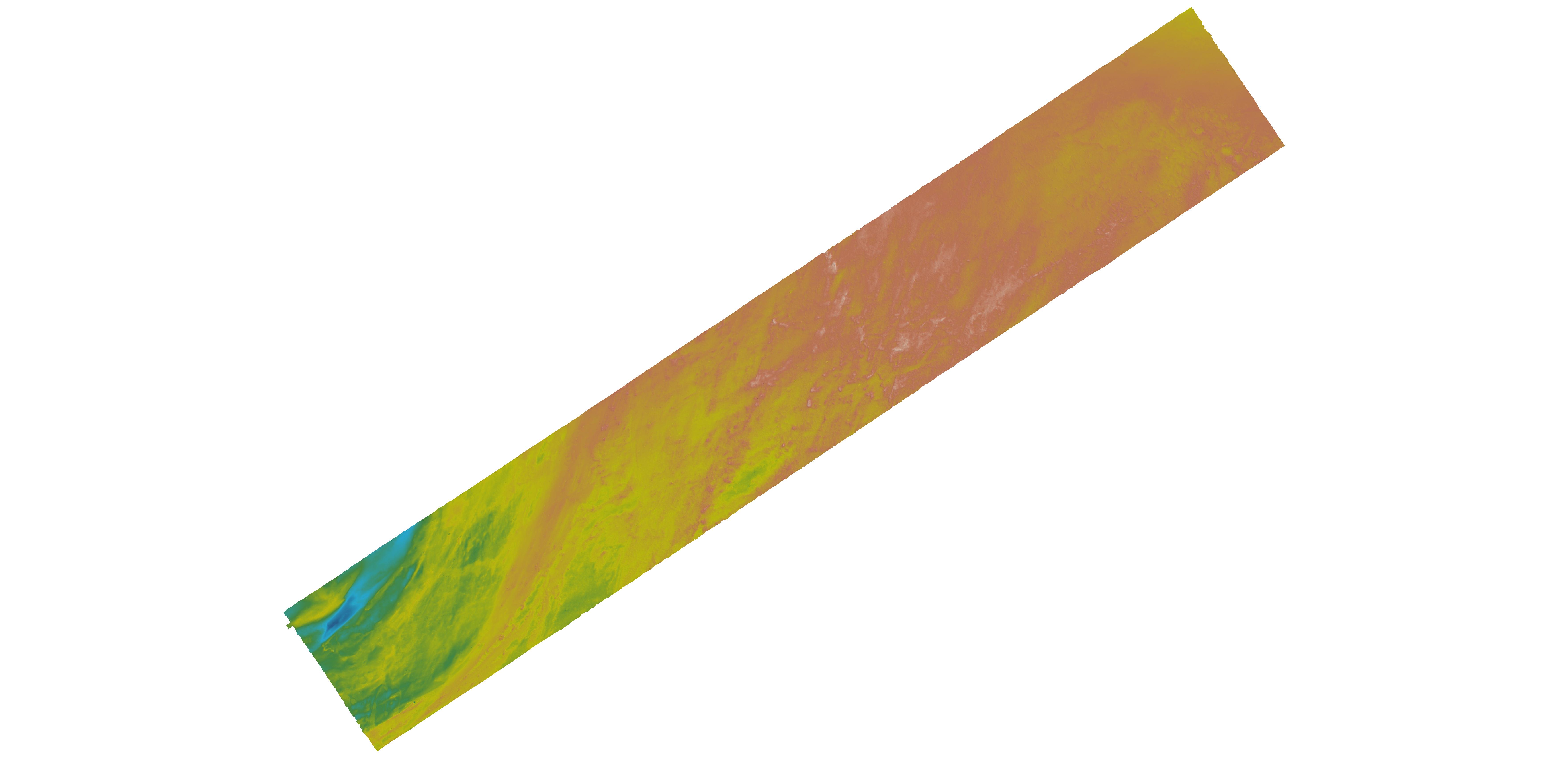
Cook Inlet, Alaska 8 arc-second Coastal Digital Elevation Model
National Oceanic and Atmospheric Administration, Department of Commerce —
NOAA's National Centers for Environmental Information (NCEI) is building high-resolution digital elevation models (DEMs) to support individual coastal States as part... -
State
Regional tsunami hazard assessment for communities on the Kenai Peninsula, Alaska
State of Alaska —
We assess potential tsunami hazard for three coastal communities on the Kenai Peninsula, Alaska: Anchor Point, Nanwalek, and Port Graham. The primary tsunami hazard... -
State
Lidar-derived elevation data for Penguin Ridge, Southcentral Alaska, collected September 22, 2021
State of Alaska —
Lidar-derived elevation data for Penguin Ridge, Southcentral Alaska, collected September 22, 2021, Raw Data File 2024-5, classified point cloud, digital surface model... -
Federal
Shoreline Data Rescue Project of Cook Inlet, East Side, CM-7412 NGDA
National Oceanic and Atmospheric Administration, Department of Commerce —
These data were automated to provide an accurate high-resolution historical shoreline of Cook Inlet, East Side suitable as a geographic information system (GIS) data...

Official websites use .gov
A
.gov website belongs to an official government
organization in the United States.
Secure .gov websites use HTTPS
A
lock (
) or https:// means you’ve safely connected to
the .gov website. Share sensitive information only on official,
secure websites.
.jpg)