
-
Federal
TRMM Precipitation Radar Rain Characteristics L2 1.5 hours V7 (TRMM_2A23) at GES DISC
National Aeronautics and Space Administration —
The new version of these data is in GPM-like format (consistent with the GPM Dual-frequency Radar data format), and can be found under the name GPM_2APR. The TRMM... -
Federal
LIMS/Nimbus-7 Level 2 Vertical Profiles of O3, NO2, H2O, HNO3, Geopotential Height, and Temperature V006 (LIMSN7L2) at GES DISC
National Aeronautics and Space Administration —
The Limb Infrared Monitor of the Stratosphere (LIMS) version 6 Level-2 data product consists of daily, geolocated, vertical profiles of temperature, geopotential... -
Federal
Sentinel-5P TROPOMI Tropospheric Formaldehyde HCHO 1-Orbit L2 7km x 3.5km V1 (S5P_L2__HCHO__) at GES DISC
National Aeronautics and Space Administration —
Starting from August 6th in 2019, Sentinel-5P TROPOMI along-track high spatial resolution (~5.5km at nadir) has been implemented. Starting from July 13th in 2020,... -
Federal
MLS/Aura Near-Real-Time L2 Water Vapor (H2O) Mixing Ratio V005 (ML2H2O_NRT) at GES DISC
National Aeronautics and Space Administration —
ML2H2O_NRT is the EOS Aura Microwave Limb Sounder (MLS) Near-Real-Time (NRT) product for water vapor (H2O). This product contains H2O profiles derived from the 190... -
Federal
Sentinel-5P TROPOMI Total Ozone Column 1-Orbit L2 7km x 3.5km V1 (S5P_L2__O3_TOT) at GES DISC
National Aeronautics and Space Administration —
Starting from August 6th in 2019, Sentinel-5P TROPOMI along-track high spatial resolution (~5.5km at nadir) has been implemented. Starting from July 13th in 2020,... -
Federal
MLS/Aura Near-Real-Time L2 Sulfur Dioxide (SO2) Mixing Ratio V005 (ML2SO2_NRT) at GES DISC
National Aeronautics and Space Administration —
ML2SO2_NRT is the EOS Aura Microwave Limb Sounder (MLS) Near-Real-Time (NRT) product for sulfur dioxide (SO2). This product contains SO2 profiles derived from the 190... -
Federal
IRIS/Nimbus-4 Level 1 Radiance Data V001 (IRISN4RAD) at GES DISC
National Aeronautics and Space Administration —
The Nimbus-4 Infrared Interferometer Spectrometer (IRIS) Level 1 Radiance Data contain thermal emissions of the Earth's atmosphere at wave numbers between 400 and... -
Federal
OCO-2 Level 2 geolocated XCO2 retrievals results, physical model V11.2 (OCO2_L2_Standard) at GES DISC
National Aeronautics and Space Administration —
Version 11.2 is the current version of the data set. Older versions will no longer be available and are superseded by Version 11.2. The Orbiting Carbon Observatory is... -
Federal
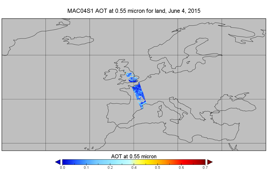
MODIS/Aqua Aerosol 10km 5-Min L2 Wide Swath Subset along CloudSat V002 (MAC04S1) at GES DISC NGDA
National Aeronautics and Space Administration —
This is the wide-swath MODIS/Aqua subset along CloudSat field of view track. The goal of the wide-swath subset is to select and return MODIS data that are within... -
Federal
OCO-3 Level 2 spatially ordered geolocated retrievals screened using the IMAP-DOAS Preprocessor (IDP), Forward Processing V10 (OCO3_L2_IMAPDOAS) at GES DISC
National Aeronautics and Space Administration —
Version 10 is the current version of the data set. Older versions will no longer be available and are superseded by Version 10. The Orbiting Carbon Observatory -3... -
Federal
OCO-2 Level 1A collated, parsed, science or calibration data, Retrospective Processing V11r (OCO2_L1aIn_Sample) at GES DISC
National Aeronautics and Space Administration —
Version 11r is the current version of the data set. Older versions will no longer be available and are superseded by Version 11r. The Orbiting Carbon Observatory is... -
Federal
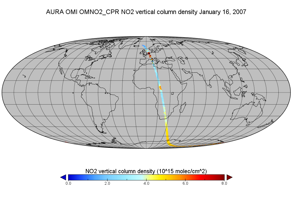
OMI/Aura Level 2 Nitrogen Dioxide (NO2) Trace Gas Column Data 1-Orbit subset Swath along CloudSat track 1-Orbit Swath 13x24 km
National Aeronautics and Space Administration —
This is a CloudSat-collocated subset of the original product OMNO2, for the purposes of the A-Train mission. The goal of the subset is to select and return OMI data... -
Federal
OCO-3 Level 1B calibrated, geolocated science spectra, Forward Processing V10 (OCO3_L1B_Science) at GES DISC
National Aeronautics and Space Administration —
Version 10 is the current version of the data set. Older versions will no longer be available and are superseded by Version 10. The Orbiting Carbon Observatory -3... -
Federal
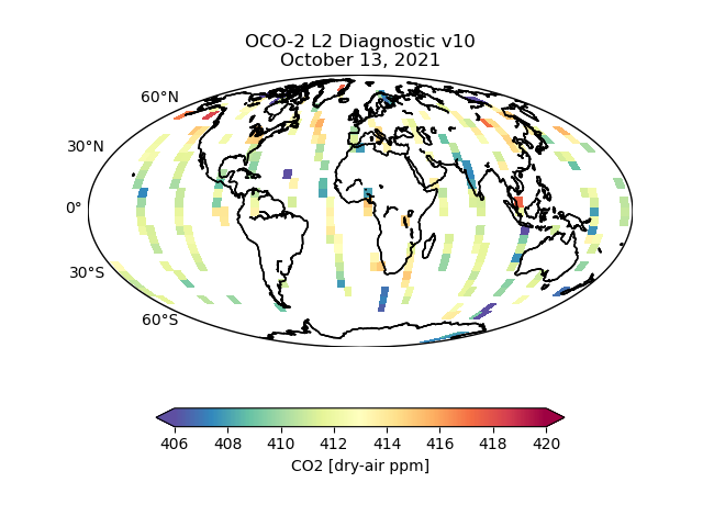
OCO-2 Level 2 geolocated XCO2 retrieval results and algorithm diagnostic information V11.2 (OCO2_L2_Diagnostic) at GES DISC
National Aeronautics and Space Administration —
Version 11.2 is the current version of the data set. Older versions will no longer be available and are superseded by Version 11.2. The Orbiting Carbon Observatory is... -
Federal
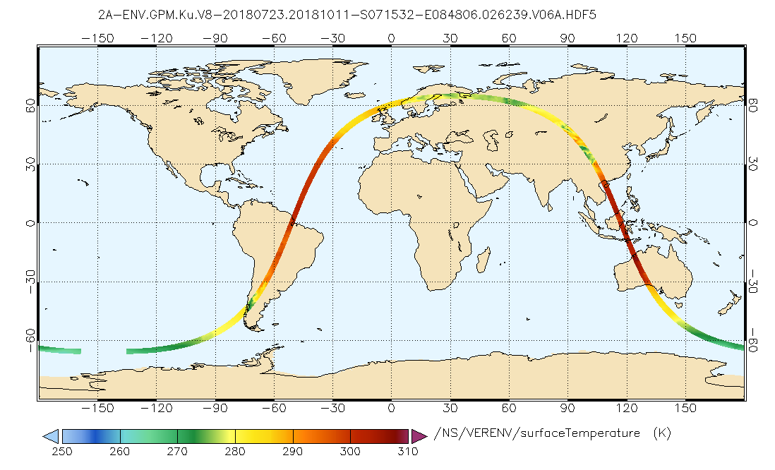
GPM DPR Ku Environment L2A 1.5 hours 5 km V07 (GPM_2AKuENV) at GES DISC
National Aeronautics and Space Administration —
Version 07 is the current version of the data set. Older versions will no longer be available and have been superseded by Version 07. . This is environmental data... -
Federal
MLS/Aura Near-Real-Time L2 Temperature V005 (ML2T_NRT) at GES DISC
National Aeronautics and Space Administration —
ML2T_NRT is the EOS Aura Microwave Limb Sounder (MLS) Near-Real-Time (NRT) product for temperature. This product contains temperature profiles derived from the 118... -
Federal
AIRS/Aqua L1B Near Real Time (NRT) AMSU (A1/A2) geolocated and calibrated brightness temperatures V005 (AIRABRAD_NRT) at GES DISC
National Aeronautics and Space Administration —
The AMSU-A Level 1B Near Real Time (NRT) product (AIRABRAD_NRT_005) differs from the routine product (AIRABRAD_005) in 2 ways to meet the three hour latency... -
Federal
Sentinel-5P TROPOMI Methane CH4 1-Orbit L2 7km x 7km V1 (S5P_L2__CH4___) at GES DISC
National Aeronautics and Space Administration —
Starting from August 6th in 2019, Sentinel-5P TROPOMI along-track high spatial resolution (~5.5km at nadir) has been implemented. For data after August 6th of 2019,... -
Federal
Sentinel-5P TROPOMI Near-Real-Time (NRT) Tropospheric Ozone Column V2 (S5P_L2__O3_TCL_NRT) at GES DISC
National Aeronautics and Space Administration —
The Sentinel-5P TROPOMI Near Real Time (NRT) Tropospheric Ozone Column V2 (S5P_L2__O3_TCL_NRT) at GES DISC is the near real time version of the offline S5P_L2__O3_TCL... -
Federal
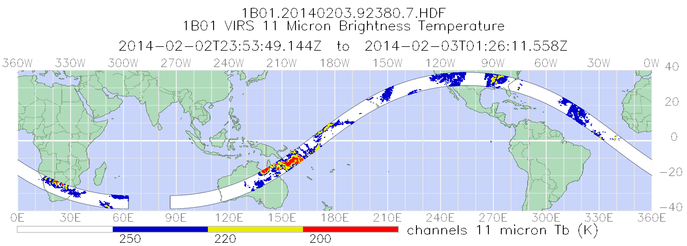
TRMM Visible and Infrared Scanner Calibrated Radiances L1B 1.5 hours V7 (TRMM_1B01) at GES DISC
National Aeronautics and Space Administration —
This TRMM Visible and Infrared Scanner (VIRS) Level 1B Calibrated Radiance Product (1B01) contains calibrated radiances and auxiliary geolocation information from the...

Official websites use .gov
A
.gov website belongs to an official government
organization in the United States.
Secure .gov websites use HTTPS
A
lock (
) or https:// means you’ve safely connected to
the .gov website. Share sensitive information only on official,
secure websites.