
-
Federal
Global Soil Data Products CD-ROM Contents (IGBP-DIS)
National Aeronautics and Space Administration —
This dataset contains global data on soil properties, global maps of soil distributions, and the SoilData System developed by the International Geosphere-Biosphere... -
Federal
EMIT L2B Estimated Mineral Identification and Band Depth and Uncertainty 60 m V001
National Aeronautics and Space Administration —
The Earth Surface Mineral Dust Source Investigation (EMIT) instrument measures surface mineralogy, targeting the Earth’s arid dust source regions. EMIT is installed... -
Federal
MODIS/Terra+Aqua Leaf Area Index/FPAR 4-Day L4 Global 500m SIN Grid V061
National Aeronautics and Space Administration —
The MCD15A3H Version 6.1 Moderate Resolution Imaging Spectroradiometer (MODIS) Level 4, Combined Fraction of Photosynthetically Active Radiation (FPAR), and Leaf Area... -
Federal
MISR Level 1B2 Ellipsoid Data subset for the UAE region V003
National Aeronautics and Space Administration —
UAEMIB2E_003 is the Multi-angle Imaging SpectroRadiometer (MISR) Level 1B2 Ellipsoid Data subset for the UAE region version 3. It contains Ellipsoid-projected TOA... -
Federal
MODIS/Terra Near Real Time (NRT) Aerosol 5-Min L2 Swath 10km
National Aeronautics and Space Administration —
The MODIS level-2 atmospheric aerosol product (MOD04_L2) continues to provide full global coverage of aerosol properties from the Dark Target (DT) and Deep Blue (DB)... -
Federal
Global Navigation Satellite System (GNSS) IGS Multi-GNSS Experiment (MGEX) Products from NASA CDDIS
National Aeronautics and Space Administration —
This derived product set consists of Global Navigation Satellite System satellite orbit products (daily files, generated daily) from the real-time IGS analysis center... -
Federal
MODIS/Aqua Near Real Time (NRT) Calibrated Radiances 5-Min L1B Swath 1km
National Aeronautics and Space Administration —
The MODIS Level 1B Near Real Time (NRT) data set contains calibrated and geolocated at-aperture radiances for 36 discrete bands located in the 0.4 to 14.4 micron... -
Federal
GLDAS Noah Land Surface Model L4 monthly 0.25 x 0.25 degree V2.1 (GLDAS_NOAH025_M) at GES DISC
National Aeronautics and Space Administration —
NASA Global Land Data Assimilation System Version 2 (GLDAS-2) has three components: GLDAS-2.0, GLDAS-2.1, and GLDAS-2.2. GLDAS-2.0 is forced entirely with the... -
Federal
OCO-2 Level 2 bias-corrected XCO2 and other select fields from the full-physics retrieval aggregated as daily files, Retrospective processing V11.1r (OCO2_L2_Lite_FP) at GES DISC
National Aeronautics and Space Administration —
Version 11r is the current version of the data set. Older versions will no longer be available and are superseded by Version 11r. The OCO-2 Lite files contain bias-... -
Federal
WorldView-4 Level 1B Panchromatic Satellite Imagery
National Aeronautics and Space Administration —
The WorldView-4 Panchromatic Imagery collection contains satellite imagery acquired from Maxar Technologies (formerly known as DigitalGlobe) by the Commercial... -
Federal
GOES-R Geostationary Lightning Mapper (GLM) Gridded Data Products
National Aeronautics and Space Administration —
The GOES-R Geostationary Lightning Mapper (GLM) Gridded Data Products consist of full disk extent gridded lightning flash data collected by the Geostationary... -
Federal
ISLSCP II University of Maryland Global Land Cover Classifications, 1992-1993
National Aeronautics and Space Administration —
The objective of the International Satellite Land Surface Climatology Project (ISLSCP II) study that produced this data set, ISLSCP II University of Maryland Global... -
Federal
CAR LEADEX Arctic Sea Ice and Tundra Radiation Measurements L1 V1 (CAR_LEADEX_L1C) at GES DISC
National Aeronautics and Space Administration —
CAR LEADEX mission measured bidirectional reflectance functions for four common arctic surfaces: snow covered sea ice, melt season sea ice, snow covered tundra, and... -
Federal
Jaeger Monthly Mean Global Precipitation Climatology 2.5 x 5.0 degree V1 (RAIN_JEAGER) at GES DISC
National Aeronautics and Space Administration —
The Jaeger Surface Rain Gauge Observations data set consists of gridded mean monthly global precipitation values for 1931 to 1960 over the continents and 1955 to 1965... -
Federal
ALOS PALSAR Level 1.0 Product
National Aeronautics and Space Administration —
ALOS PALSAR Level 1.0 -
Federal
SAFARI 2000 Global Burned Area Map, 1-km, Southern Africa, 2000
National Aeronautics and Space Administration —
The Global Burned Area 2000 initiative (GBA2000) was launched by the Global Vegetation Mapping Unit of the Joint Research Centre of the European Commission, in... -
Federal
Modeled Active-Layer Depth in Russia, Version 1
National Aeronautics and Space Administration —
This data set contains modeled active-layer depth (cm) from 50 deg N to 80 deg N, and 60 deg E to 160 deg E, Russia. Depth values are calculated from a model of... -
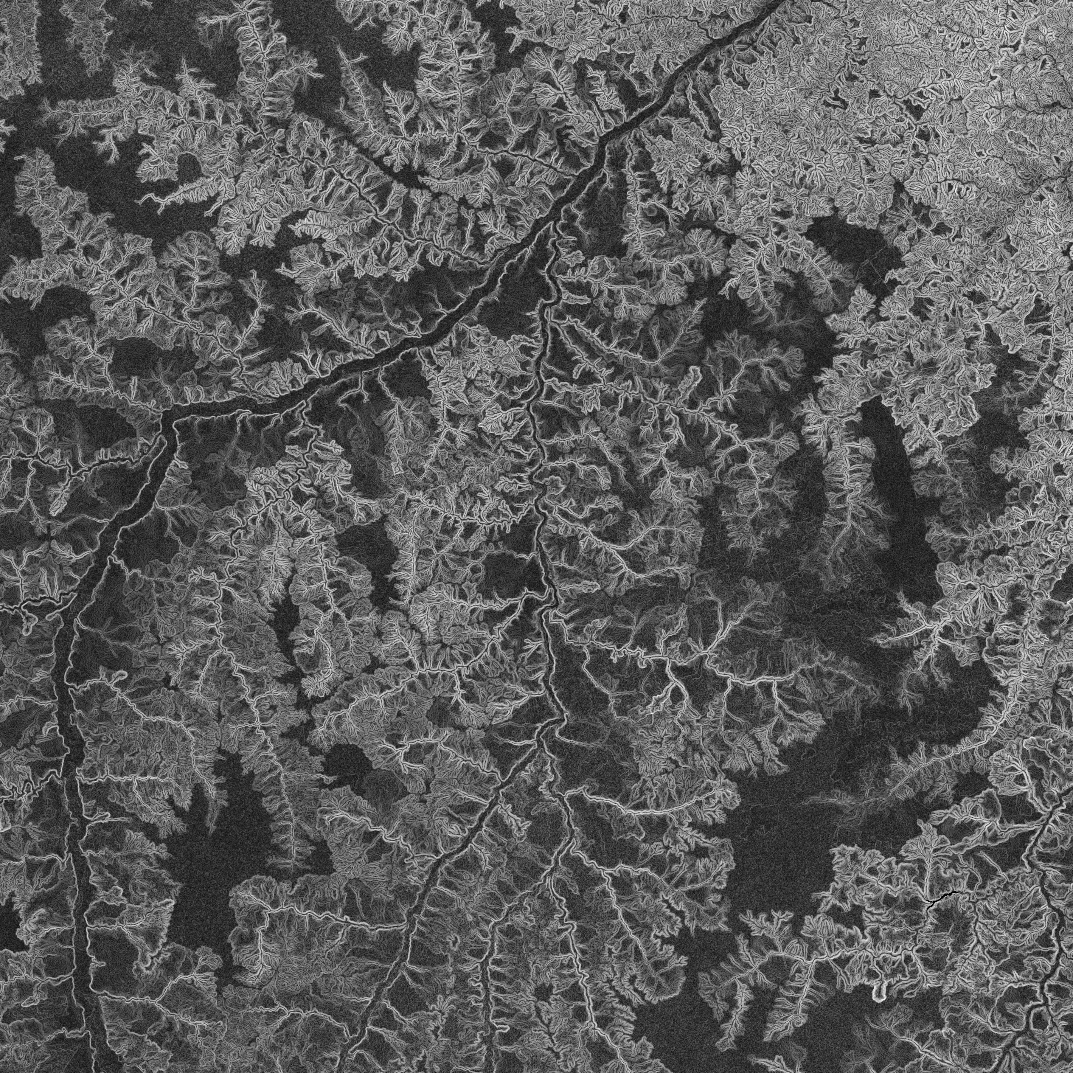
Federal
NASADEM Slope and Curvation Global 1 arc second V001
National Aeronautics and Space Administration —
The Land Processes Distributed Active Archive Center (LP DAAC) is responsible for the archive and distribution of NASA Making Earth System Data Records for Use in...

Official websites use .gov
A
.gov website belongs to an official government
organization in the United States.
Secure .gov websites use HTTPS
A
lock (
) or https:// means you’ve safely connected to
the .gov website. Share sensitive information only on official,
secure websites.