

NASADEM Slope and Curvation Global 1 arc second V001
Access & Use Information
Public: This dataset is intended for public access and use.
License:
See this page for license information.
Downloads & Resources
-
Web ResourceBIN
NASADEM_SC.001
-
Web ResourceBIN
-
Web ResourceBIN
NASADEM_SC.001
-
Web ResourceBIN
-
PDF FilePDF
NASADEM_User_Guide_V13.pdf
-
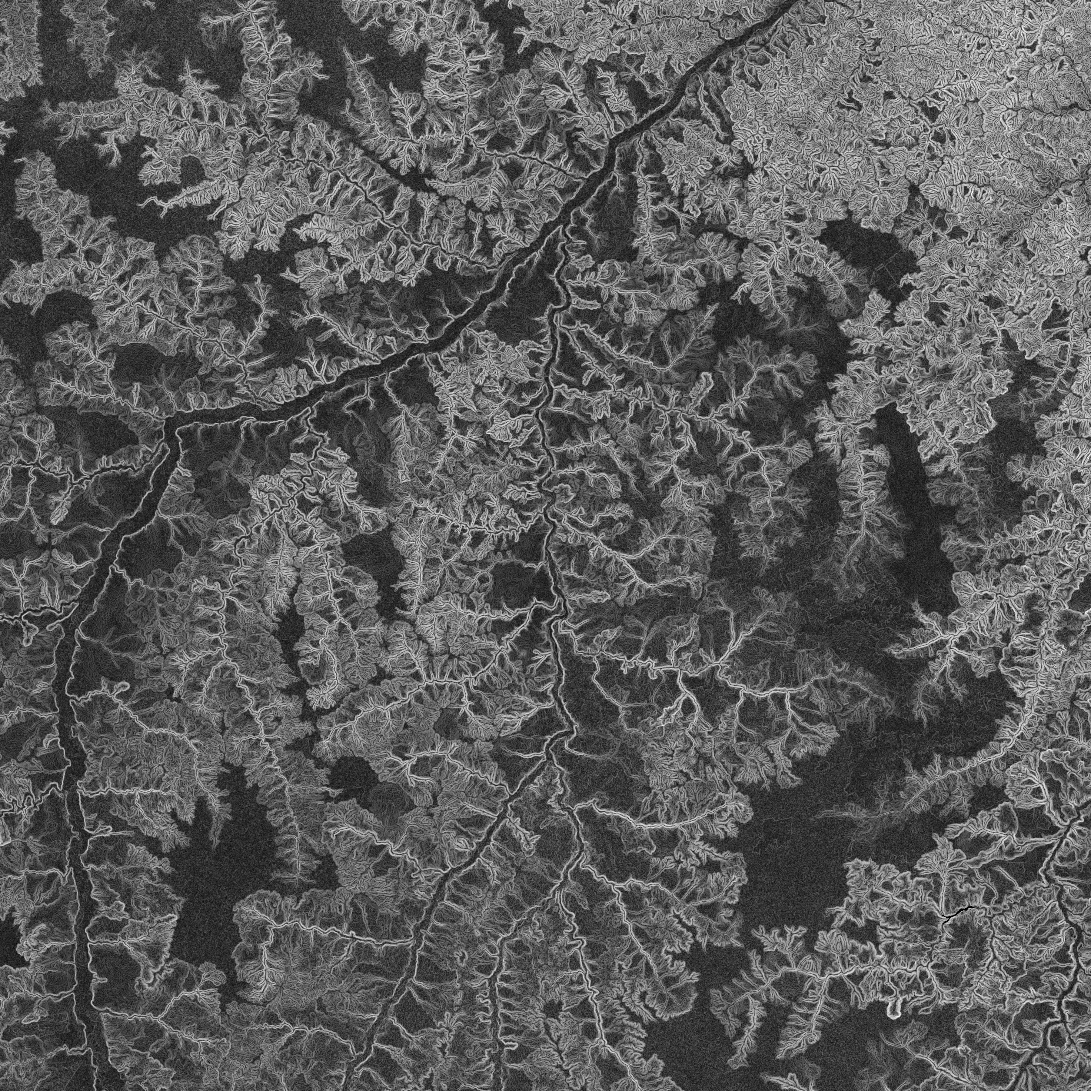
JPEG Image FileJPEG
NASADEM_SC_s05w047.1.jpg
-
Web ResourceBIN
NASADEM_SC.001
-
Original MetadataISO
The metadata's original source.
Dates
| Metadata Created Date | April 11, 2025 |
|---|---|
| Metadata Updated Date | April 10, 2026 |
Metadata Source
- Data.json Data.json Metadata
Harvested from NASA Data.json
Additional Metadata
| Resource Type | Dataset |
|---|---|
| Metadata Created Date | April 11, 2025 |
| Metadata Updated Date | April 10, 2026 |
| Publisher | LP DAAC;NASA/JPL/SRTM |
| Maintainer | |
| Identifier | 10.5067/MEASURES/NASADEM/NASADEM_SC.001 |
| Data Last Modified | 2026-04-06 |
| Category | Earth Science |
| Public Access Level | public |
| Bureau Code | 026:00 |
| Metadata Context | https://project-open-data.cio.gov/v1.1/schema/catalog.jsonld |
| Schema Version | https://project-open-data.cio.gov/v1.1/schema |
| Catalog Describedby | https://project-open-data.cio.gov/v1.1/schema/catalog.json |
| Harvest Object Id | 56d83975-d4e6-4d35-9c27-c8cd650ee41c |
| Harvest Source Id | 58f92550-7a01-4f00-b1b2-8dc953bd598f |
| Harvest Source Title | NASA Data.json |
| License | https://www.usa.gov/government-works |
| Old Spatial | "CARTESIAN",{"NorthBoundingCoordinate":60,"WestBoundingCoordinate":-180,"EastBoundingCoordinate":180,"SouthBoundingCoordinate":-56} |
| Program Code | 026:000 |
| Source Datajson Identifier | True |
| Source Hash | 34595cf240b2c61f37b41cba8c872f8b1f896c560ae1355ebd71ea114ada6c2b |
| Source Schema Version | 1.1 |
| Spatial | |
| Temporal | 2000-02-11/2000-02-21 |
Didn't find what you're looking for? Suggest a dataset here.