
-
Federal
Sentinel-6A GNSS-POD Level 1B Daily RINEX V1 (S6A_GN_1B_RNXD_AX_) at GES DISC
National Aeronautics and Space Administration —
This dataset provides the L1B Global Navigation Satellite System (GNSS) Precise Orbit Determination (POD) data generated by European Organisation for the Exploitation... -
Federal
AIRS/Aqua L3 8-day Support Product (AIRS-only) 1 degree X 1 degree V006 (AIRS3SP8) at GES DISC
National Aeronautics and Space Administration —
The Atmospheric Infrared Sounder (AIRS) is a grating spectrometer (R = 1200) aboard the second Earth Observing System (EOS) polar-orbiting platform, EOS Aqua. In... -
Federal
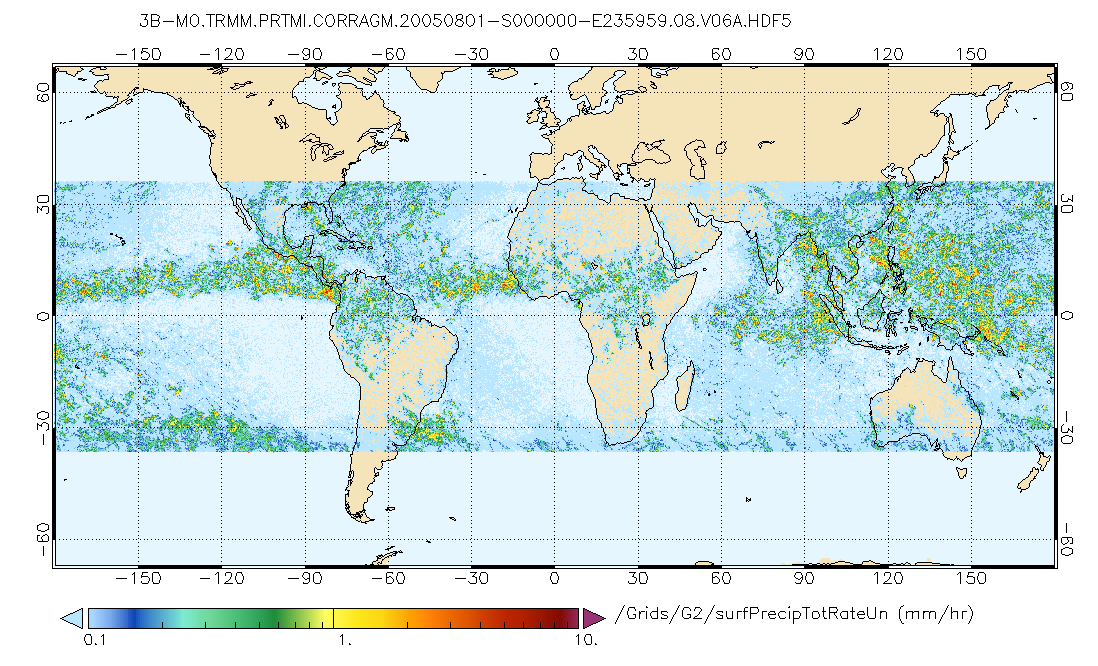
GPM PR and TMI on TRMM (Combined Precipitation) L3 1 month 0.25x0.25 degree V07 (GPM_3CMB_TRMM) at GES DISC
National Aeronautics and Space Administration —
This is the new (GPM-formated) TRMM Combined product, using the GPM algorithms, for the TRMM epoch (December 1997 - April 2015). It replaces the old TRMM_3B31 This is... -
Federal
GLDAS Catchment Land Surface Model L4 daily 0.25 x 0.25 degree V2.0 (GLDAS_CLSM025_D) at GES DISC
National Aeronautics and Space Administration —
NASA Global Land Data Assimilation System Version 2 (GLDAS-2) has three components: GLDAS-2.0, GLDAS-2.1, and GLDAS-2.2. GLDAS-2.0 is forced entirely with the... -
Federal
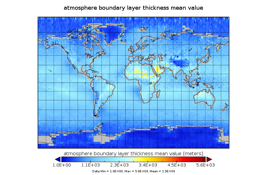
GPS Radio Occultation Boundary Layer Depth Annual L3 V1 (GPSROZPBLA) at GES DISC
National Aeronautics and Space Administration —
This dataset has been superseded by version 2. It provides an annual average of a global planetary boundary layer (PBL) height climatology derived from the... -
Federal
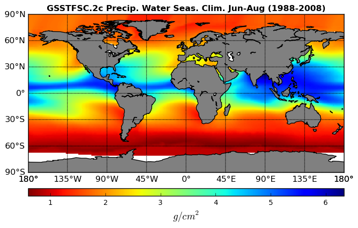
Goddard Satellite-Based Surface Turbulent Fluxes Climatology, 0.25 x 0.25 deg, Seasonal Grid V3 (GSSTFSC) at GES DISC
National Aeronautics and Space Administration —
These data are the Goddard Satellite-based Surface Turbulent Fluxes Version-3 Dataset recently produced through a MEaSUREs funded project led by Dr. Chung-Lin Shie... -
Federal
MERRA-2 tavgU_2d_lfo_Nx: 2d,diurnal,Time-Averaged,Single-Level,Assimilation,Land Surface Forcings 0.625 x 0.5 degree V5.12.4 (M2TUNXLFO) at GES DISC
National Aeronautics and Space Administration —
M2TUNXLFO (or tavgU_2d_lfo_Nx) is a time-averaged 2-dimensional monthly diurnal means data collection in Modern-Era Retrospective analysis for Research and... -
Federal
OCO-2 Level 1B calibrated, geolocated science spectra V11.2 (OCO2_L1B_Science) at GES DISC
National Aeronautics and Space Administration —
Version 11.2 is the current version of the data set. Older versions will no longer be available and are superseded by Version 11.2. The Orbiting Carbon Observatory is... -
Federal
Carbon Monitoring System Carbon Flux Land Prior L4 V3 (CMSFluxLandPrior)
National Aeronautics and Space Administration —
This dataset provides the Prior for the Land Carbon Flux. The NASA Carbon Monitoring System (CMS) is designed to make significant contributions in characterizing,... -
Federal
OCO-2 Level 0 spacecraft ephemerides V11 (OCO2_Eph) at GES DISC
National Aeronautics and Space Administration —
Version 11 is the current version of the data set. Older versions will no longer be available and are superseded by Version 11. The Orbiting Carbon Observatory is the... -
Federal
TROPESS Chemical Reanalysis NO2 Spread Monthly 3-dimensional Product V1 (TRPSCRNO2SM3D) at GES DISC
National Aeronautics and Space Administration —
The TROPESS Chemical Reanalysis NO2 Spread Monthly 3-dimensional Product contains the nitrogen dioxide ensemble spread, a measure of data assimilation analysis... -
Federal
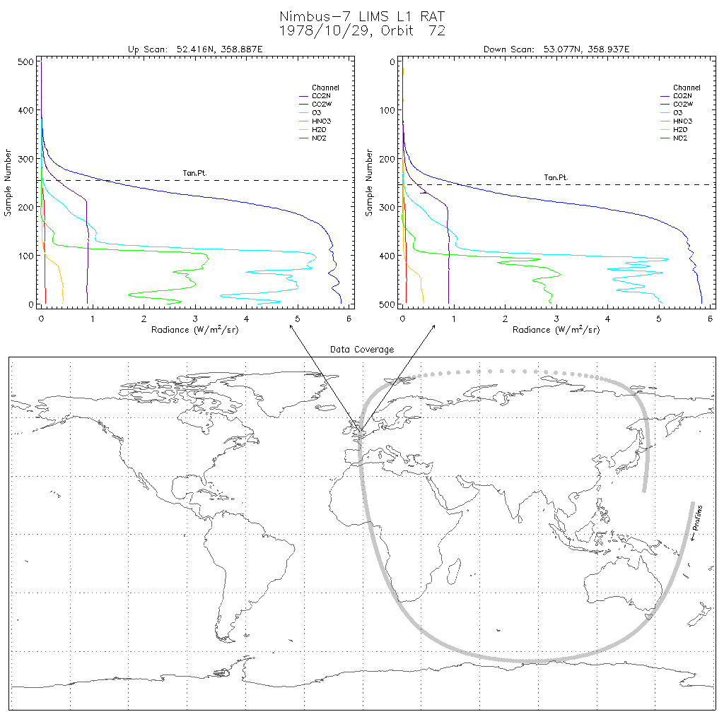
LIMS/Nimbus-7 Level 1 Radiance Data V001 (LIMSN7L1RAT) at GES DISC
National Aeronautics and Space Administration —
LIMSN7L1RAT is the Nimbus-7 Limb Infrared Monitor of the Stratosphere (LIMS) Level-1 Radiance Data product. It contains calibrated, earth-located radiances, as well... -
Federal
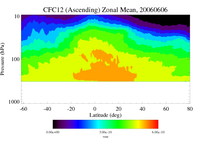
HIRDLS/Aura Level 3 Chlorofluorocarbon-12 (CFC-12) 1deg Lat Zonal Fourier Coefficients V007 (H3ZFCCFC11) at GES DISC
National Aeronautics and Space Administration —
The "HIRDLS/Aura Level 3 Chlorofluorocarbon-12 (CFC-12) Zonal Fourier Coefficients" version 7 data product (H3ZFCCFC12) contains the entire mission (~3 years) of... -
Federal
GPCP Precipitation Level 3 Monthly 0.5-Degree V3.3 (GPCPMON) at GES DISC
National Aeronautics and Space Administration —
Version 3.3 is the current version. Older versions have been superseded by Version 3.3. Product latency/update: The products are currently paused at September 2024... -
Federal
TOVS GLA DAILY GRIDS from NOAA-11 V01 (TOVSADNH) at GES DISC
National Aeronautics and Space Administration —
This dataset (TOVSADNH) contains the TIROS Operational Vertical Sounder (TOVS) level 3 geophysical parameters derived using data from NOAA-11 and the physical... -
Federal
OCO-3 Level 1B calibrated, geolocated science spectra, Forward Processing V11 (OCO3_L1B_Science) at GES DISC
National Aeronautics and Space Administration —
Version 11 is the current version of the data set. Older versions will no longer be available and are superseded by Version 11. The Orbiting Carbon Observatory -3... -
Federal
SRB/GEWEX evapotranspiration (Penman-Monteith) L4 3 hour 0.5 degree x 0.5 degree V1 (WC_PM_ET_050) at GES DISC
National Aeronautics and Space Administration —
SRB/GEWEX evapotranspiration (Penman-Monteith) L4 3 hour 0.5 degree x 0.5 degree V1 is a global, 24-year (1984-2007), satellite-derived evapotranspiration over land... -
Federal
OCO-3 Level 2 geolocated XCO2 retrieval results and algorithm diagnostic information, Forward Processing V11 (OCO3_L2_Diagnostic) at GES DISC
National Aeronautics and Space Administration —
Version 11 is the current version of the data set. Older versions will no longer be available and are superseded by Version 11. The Orbiting Carbon Observatory -3... -
Federal
Sentinel-5P TROPOMI Radiance product band 5 (NIR detector) L1B 5.5km x 3.5km V1 (S5P_L1B_RA_BD5_HiR) at GES DISC
National Aeronautics and Space Administration —
Starting from August 6th in 2019, Sentinel-5P TROPOMI along-track high spatial resolution (~5.5km at nadir) has been implemented. For data before August 6th of 2019,...

Official websites use .gov
A
.gov website belongs to an official government
organization in the United States.
Secure .gov websites use HTTPS
A
lock (
) or https:// means you’ve safely connected to
the .gov website. Share sensitive information only on official,
secure websites.