
-
Federal
CERES Monthly Daytime Mean Regionally Averaged Terra and Aqua TOA Fluxes and Associated Cloud Properties Stratified by Optical Depth and Effective Pressure Edition4A
National Aeronautics and Space Administration —
CER_FluxByCldTyp-Month_Terra-Aqua-MODIS_Edition4A is the Clouds and the Earth's Radiant Energy System (CERES) Monthly Daytime Mean Regionally Averaged Terra and Aqua... -
Federal
CALIPSO Lidar Level 2 5 km Aerosol Layer Data, V4-21
National Aeronautics and Space Administration —
CAL_LID_L2_05kmALay-Standard-V4-21 is the Cloud-Aerosol Lidar and Infrared Pathfinder Satellite Observation (CALIPSO) Lidar Level 2 5 km Aerosol Layer Data, Version... -
Federal
BOREAS TGB-12 Soil Carbon and Flux Data of NSA-MSA in Raster Format
National Aeronautics and Space Administration —
The BOREAS TGB-12 team made measurements of soil carbon inventories, carbon concentration in soil gases, and rates of soil respiration at several sites. This data set... -
Federal
CALIPSO Lidar Level 3 Tropospheric Aerosol Profiles, Cloudy Sky Opaque Data, Standard V4-21
National Aeronautics and Space Administration —
CAL_LID_L3_Tropospheric_APro_CloudySkyOpaque-Standard-V4-21 is the Cloud-Aerosol Lidar and Infrared Pathfinder Satellite Observation (CALIPSO) Lidar Level 3... -
Federal
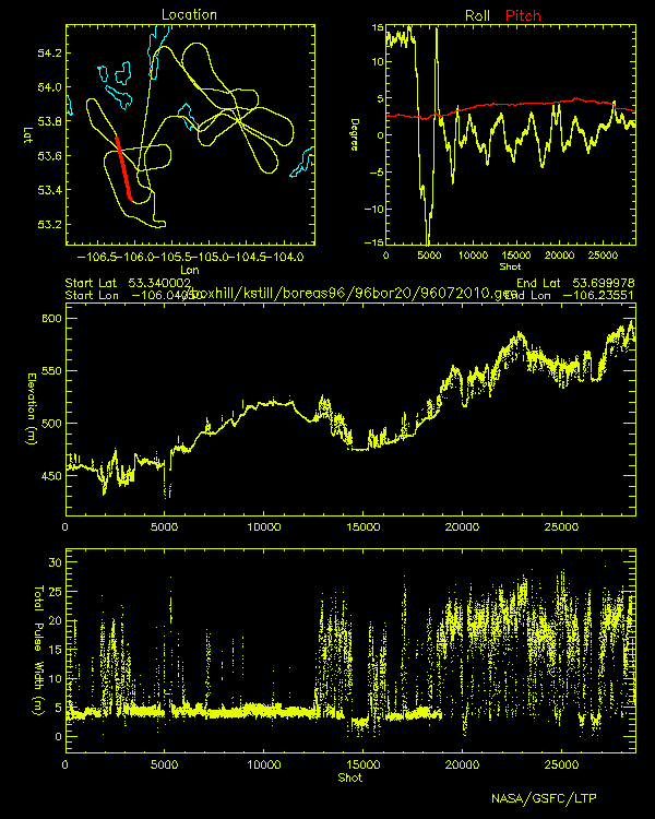
BOREAS Scanning Lidar Imager of Canopies by Echo Recovery (SLICER): Level-3 Data
National Aeronautics and Space Administration —
Scanning Lidar Imager of Canopies by Echo Recovery (SLICER) data were acquired in support of BOReal Ecosystem-Atmosphere Study (BOREAS) at all of the Tower Flux (TF)... -
Federal
BOREAS RSS-04 1994 Southern Study Area Jack Pine LAI & FPAR Data
National Aeronautics and Space Administration —
The RSS-04 team collected several data sets related to leaf, plant, and stand physical, optical, and chemical properties. This data set contains leaf area indices and... -
Federal
BOREAS HYD-01 Under Canopy Precipitation Data
National Aeronautics and Space Administration —
Under-canopy precipitation measurements were made by the BOREAS HYD-01 science team in 1994, 1995, and 1996 at various flux tower sites in the NSA and SSA. In 1994,... -
Federal
Sentinel-6A Level 2 GNSS Radio Occultation Near-Real-Time V1 (S6A_RO_2__NRT_NC__) at GES DISC
National Aeronautics and Space Administration —
This dataset provides the L2 Global Navigation Satellite System (GNSS) Radio-Occultation (RO) Near-Real-Time (NRT) retrieval generated by NASA's Jet Propulsion... -
Federal
SOLVE II DC-8 Aircraft Remotely Sensed Trace Gas Data
National Aeronautics and Space Administration —
SOLVE2_TraceGas_AircraftRemoteSensing_DC8_Data is the remotely sensed trace gas data for the DC-8 aircraft collected during the SAGE III Ozone Loss and Validation... -
Federal
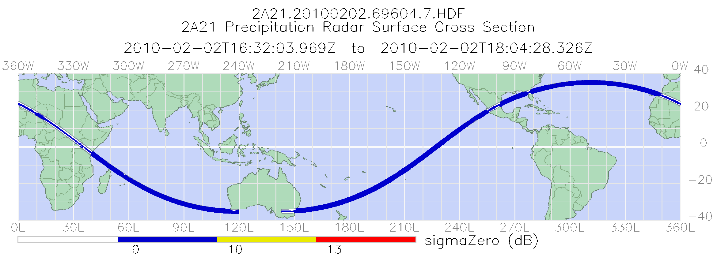
TRMM Precipitation Radar Surface Cross-Section L2 1.5 hours V7 (TRMM_2A21) at GES DISC
National Aeronautics and Space Administration —
The new version of these data is in GPM-like format (consistent with the GPM Dual-frequency Radar data format), and can be found under the name GPM_2APR. This is the... -
Federal
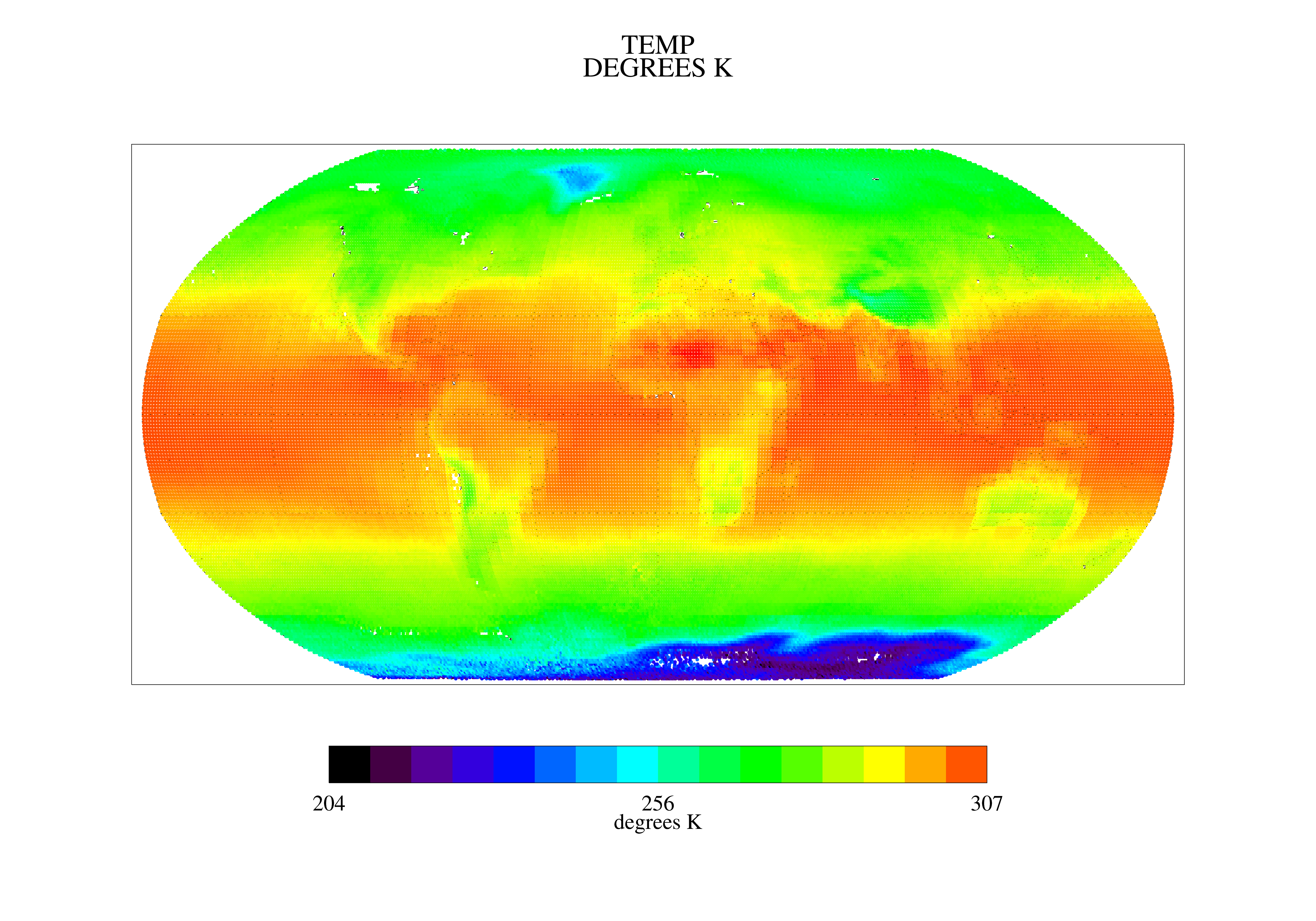
TOVS GLA MONTHLY GRIDS from TIROSN V01 (TOVSAMTN) at GES DISC
National Aeronautics and Space Administration —
This dataset (TOVSAMTN) contains the TIROS Operational Vertical Sounder (TOVS) level 3 geophysical parameters derived using data from TIROSN and the physical... -
Federal
TROPESS CrIS-SNPP L2 Methane for Reanalysis Stream, Summary Product V1 (TRPSYL2CH4CRSRS) at GES DISC
National Aeronautics and Space Administration —
The TROPESS CrIS-SNPP L2 Methane for Reanalysis Stream, Summary Product contains the vertical distribution of the retrieved atmospheric state of methane (CH4), and... -
Federal
Trichonesia cruise
National Aeronautics and Space Administration —
Measurements from Indonesia made during 1998. -
Federal
TOMS Earth-Probe Ozone (O3) Total Column 1-Orbit L2 Swath 50 x 50 km V008 (TOMSEPL2) at GES DISC
National Aeronautics and Space Administration —
The Earth Probe (EP) Total Ozone Mapping Spectrometer (TOMS) version 8 orbital swath data product contains total column ozone, UV aerosol index, and Lambertian... -
Federal
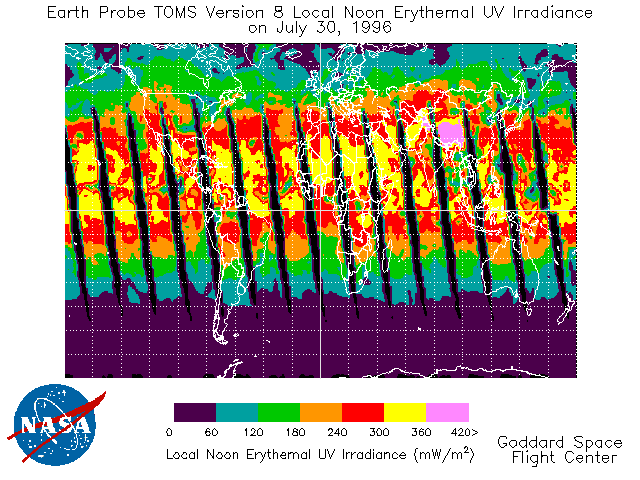
TOMS Earth Probe UV-B Erythemal Local Noon Irradiance Daily L3 Global 1 deg x 1.25 deg Lat/Lon Grid V008 (TOMSEPL3dery) at GES DISC
National Aeronautics and Space Administration —
This Earth Probe (EP) Total Ozone Mapping Spectrometer (TOMS) version 8 daily global gridded data product contains UV-B erythemal local noon irradiance values. The... -
Federal
SWOT Medium-accuracy Orbit Ephemeris (MOE)
National Aeronautics and Space Administration —
Medium-accuracy Orbit Ephemeris (MOE) providing position and velocity vectors of satellite center of mass used in forward stream processing. MOE products are... -
Federal
SWOT Level 2 River Single-Pass Vector Node Data Product, Version C
National Aeronautics and Space Administration —
The SWOT Level 2 River Single-Pass Vector Node Data Product from the Surface Water Ocean Topography (SWOT) mission provides water surface elevation, slope, width, and... -
Federal
SWOT Level 2 Nadir Altimeter Geophysical Data Record with Waveforms - SSHA, Version 1.0
National Aeronautics and Space Administration —
Nadir Altimeter Geophysical Data Record (GDR) products similar to those from ongoing nadir altimeter missions such as Jason-3. Provide sea surface height, significant... -
Federal
TCSP ER-2 MICROWAVE TEMPERATURE PROFILER (MTP) V1
National Aeronautics and Space Administration —
The TCSP ER-2 Microwave Temperature Profiler (MTP) dataset was collected by the ER-2 Microwave Temperature Profiler (MTP), which is a passive microwave radiometer... -
Federal
Spatial Data Access Tool (SDAT)
National Aeronautics and Space Administration —
The ORNL DAAC Spatial Data Access Tool (SDAT) is a suite of Web-based applications that enable users to visualize and download spatial data in user-selected...

Official websites use .gov
A
.gov website belongs to an official government
organization in the United States.
Secure .gov websites use HTTPS
A
lock (
) or https:// means you’ve safely connected to
the .gov website. Share sensitive information only on official,
secure websites.