

TRMM Precipitation Radar Surface Cross-Section L2 1.5 hours V7 (TRMM_2A21) at GES DISC
Access & Use Information
Public: This dataset is intended for public access and use.
License:
See this page for license information.
Downloads & Resources
-
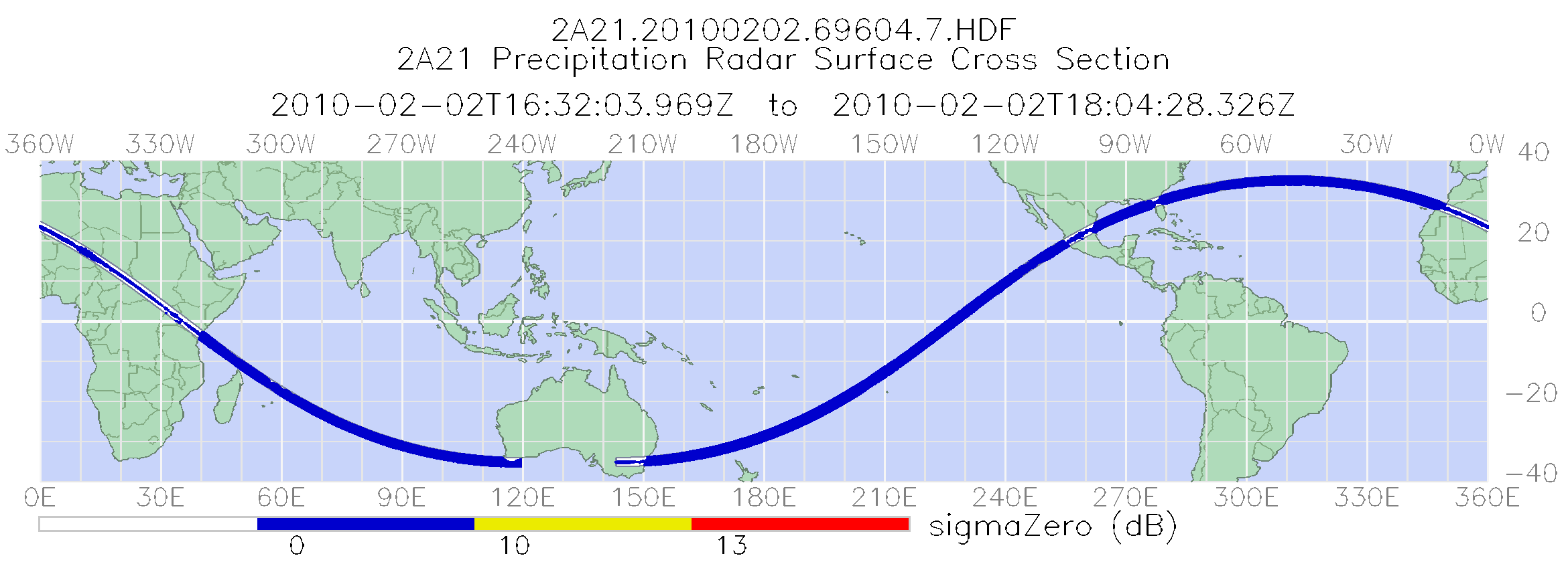
PNG Image FilePNG
TRMM_2A21_7.png
-
Web PageHTML
TRMM_2A21_7.html
-
Web ResourceBIN
-
Web ResourceBIN
-
Web ResourceBIN
-
Web ResourceBIN
-
PDF FilePDF
filespec.TRMM.V7.pdf
-
PDF FilePDF
formatChangesV7.pdf
-
PDF FilePDF
PR_Instruction_Manual_V7_L1.pdf
-
PDF FilePDF
README.TRMM_V7.pdf
-
Web PageHTML
anomalous.html
-
Original MetadataISO
The metadata's original source.
Dates
| Metadata Created Date | March 12, 2026 |
|---|---|
| Metadata Updated Date | April 9, 2026 |
Metadata Source
- Data.json Data.json Metadata
Harvested from NASA Data.json
Additional Metadata
| Resource Type | Dataset |
|---|---|
| Metadata Created Date | March 12, 2026 |
| Metadata Updated Date | April 9, 2026 |
| Publisher | NASA/GSFC/SED/ESD/TISL/GESDISC |
| Maintainer | |
| Identifier | /SDE/CMR_API/|C1282060544-GES_DISC |
| Data Last Modified | 2026-04-06 |
| Category | Earth Science |
| Public Access Level | public |
| Bureau Code | 026:00 |
| Metadata Context | https://project-open-data.cio.gov/v1.1/schema/catalog.jsonld |
| Schema Version | https://project-open-data.cio.gov/v1.1/schema |
| Catalog Describedby | https://project-open-data.cio.gov/v1.1/schema/catalog.json |
| Harvest Object Id | 21e93e47-40bd-48fc-96a3-b62235345837 |
| Harvest Source Id | 58f92550-7a01-4f00-b1b2-8dc953bd598f |
| Harvest Source Title | NASA Data.json |
| License | https://www.usa.gov/government-works |
| Old Spatial | "CARTESIAN",{"WestBoundingCoordinate":-180,"NorthBoundingCoordinate":38,"EastBoundingCoordinate":180,"SouthBoundingCoordinate":-38} |
| Program Code | 026:000 |
| Source Datajson Identifier | True |
| Source Hash | 2e1167ec80910fcbe0ebbaa875e6f6ed21d9d57637bc3296ba78bdb68cd6d72e |
| Source Schema Version | 1.1 |
| Spatial | |
| Temporal | 1997-12-31/2014-10-07 |
Didn't find what you're looking for? Suggest a dataset here.