-
GRACE-FO Level-1B Release version 4.0 from JPL in ASCII
FOR EXPERT USE ONLY. The GRACE-FO Level-1B data provide all necessary inputs to derive monthly time variations in the Earth gravity field. Level-1B data are also used for GRACE... -
Land Resources of Russia -- Maps of Permafrost and Ground Ice, Version 1
This data set includes maps of permafrost extent, permafrost temperature, the permafrost boundary, and ground ice thickness for all of Russia. The maps are ESRI Shapefiles,... -
Hubble Ultra Deep Field Catalog
The Hubble Ultra Deep Field (UDF, Principle Investigator: Steven V. W. Beckwith) is a 400-orbit Hubble Space Telescope (HST) Cycle 12 program to image a single field of the Wide... -
Lunar Sample Atlas
The Lunar Sample Atlas provides pictures of the Apollo samples taken in the Lunar Sample Laboratory, full-color views of the samples in microscopic thin-sections, cutting views... -
IMERG and LHASA Global Landslide Exposure Maps 1.0
The Landslide Hazard Assessment for Situational Awareness (LHASA) model identifies locations with high potential for landslide occurrence at a daily temporal resolution. LHASA... -
MISR L1B2 Ellipsoid Product subset for the ARCTAS region V003
ATSMIB2E_003 is the Multi-angle Imaging SpectroRadiometer (MISR) Level 1B2 Ellipsoid Product subset for the ARCTAS region. It contains an Ellipsoid-projected TOA Radiance subset... -
SWOT Level 2 KaRIn Low Rate Sea Surface Height Data Product - WindWave, Version 2.0
The SWOT Level 2 KaRIn Low Rate Sea Surface Height Windwave Data Product from the Surface Water Ocean Topography (SWOT) mission provides global sea surface height and... -
FIREX-AQ NOAA-CHEM Twin Otter Photolysis Rate (j value) Data
FIREXAQ_jValue_AircraftInSitu_N48_Data are in situ photolysis rate (j value) data collected onboard the NOAA-CHEM Twin Otter aircraft during FIREX-AQ. Data collection for this... -
GLDAS Noah Land Surface Model L4 3 hourly 0.25 x 0.25 degree V2.0 (GLDAS_NOAH025_3H) at GES DISC
NASA Global Land Data Assimilation System Version 2 (GLDAS-2) has three components: GLDAS-2.0, GLDAS-2.1, and GLDAS-2.2. GLDAS-2.0 is forced entirely with the Princeton... -
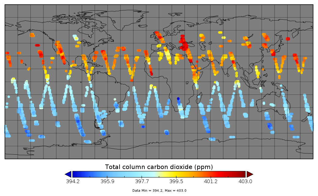
Multi-Instrument Fused bias-corrected XCO2 and other select fields aggregated as Level 4 daily files V3 (MultiInstrumentFusedXCO2)
Gridded carbon dioxide mole fraction (XCO2) and other select variables created by applying local kriging (also known as optimal interpolation) to daily aggregates of Orbiting... -
H-ATLAS All Potential Counterparts Catalog
The Herschel Astrophysical Terahertz Large Area Survey (H-ATLAS) is a survey of 600 deg^2 in five photometric bands - 100, 160, 250, 350 and 500 microns - with the... -
ECCO Ocean Three-Dimensional Volume Fluxes - Monthly Mean llc90 Grid (Version 4 Release 4)
This dataset provides monthly-averaged ocean three-dimensional volume fluxes on the native Lat-Lon-Cap 90 (LLC90) model grid from the ECCO Version 4 Release 4 (V4r4) ocean and... -
BARREL 1G X-ray Spectrometer (FSPC) Bremsstrahlung X-ray Spectrum Fast Time Resolution, Level 2, 0.05 s Data
FSPC: Four channels of fast time resolution, 50 ms, Bremsstrahlung X-ray spectra detected with a NaI Scintillator. Each channel is separated in its own variable: FSPC1, FSPC2,... -
Ground-Based Satellite Laser Ranging (SLR) Observation Data (normal points, hourly files) from NASA CDDIS
This dataset consists of ground-based Satellite Laser Ranging observation data (normal points, hourly files) from the NASA Crustal Dynamics Data Information System (CDDIS). SLR... -
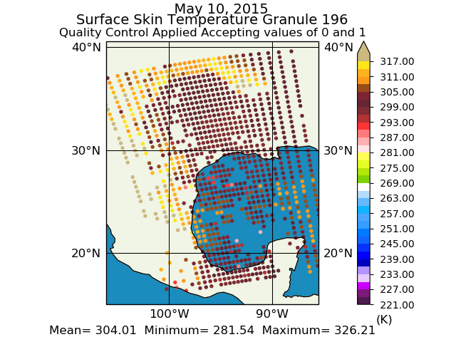
Aqua/AIRS L2 Support Retrieval (AIRS+AMSU) V7.0 at GES DISC
The Atmospheric Infrared Sounder (AIRS) is a grating spectrometer (R = 1200) aboard the second Earth Observing System (EOS) polar-orbiting platform, EOS Aqua. In combination... -
MODIS/Terra Vegetation Indices Monthly L3 Global 0.05Deg CMG V006
The MOD13C2 Version 6 data product was decommissioned on July 31, 2023. Users are encouraged to use the MOD13C2 Version... -
Map of Natural (Landscape) and Permafrost Zones and the Net of Soil Temperature Meteorological Stations in Russia and Middle Asian Mountains, Version 1
This data set is a vector coverage of the Map of Natural Landscape and Permafrost Zones and the Net of Soil Temperature Meteorological Stations in Russia and Middle Asian...

Official websites use .gov
A
.gov website belongs to an official government
organization in the United States.
Secure .gov websites use HTTPS
A
lock (
) or https:// means you’ve safely connected to
the .gov website. Share sensitive information only on official,
secure websites.