-
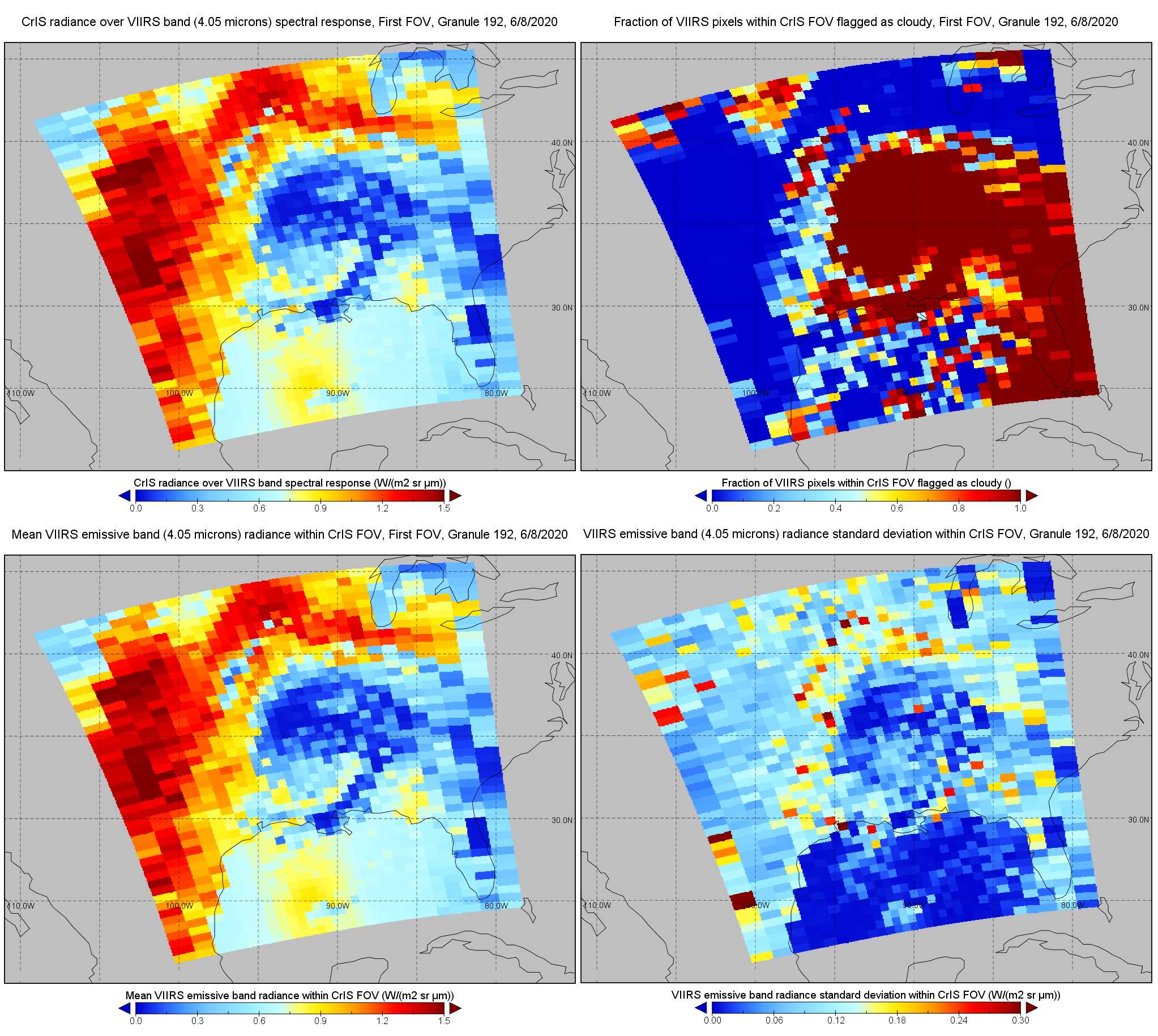
S-NPP CrIS IMG: Collocated VIIRS level 1 / cloud mask statistical summary V2 (SNDRSNCrISL1BIMG) at GES DISC
The Cross-track Infrared Sounder (CrIS) Level 1B Normal Spectral Resolution (NSR) data files contain radiance measurements along with ancillary spacecraft, instrument, and... -
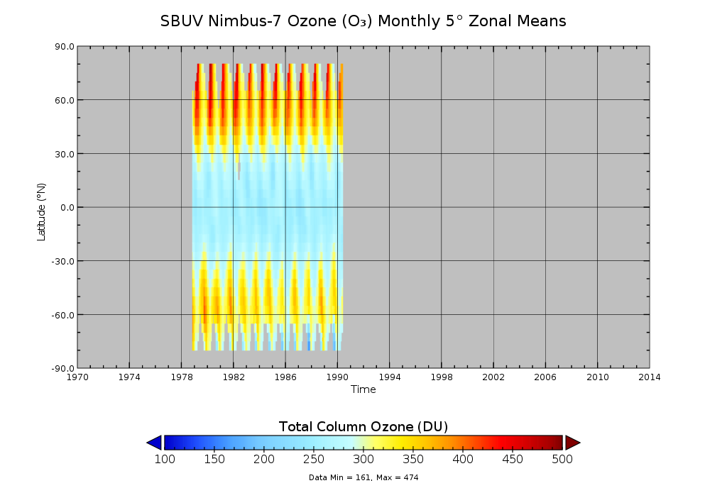
SBUV/Nimbus-7 Ozone (O3) Profile and Total Column Ozone 1 Month Zonal Mean L3 Global 5.0 degree Latitude Zones V1 (SBUVN07L3zm) at GES DISC
The Solar Backscattered Ultraviolet (SBUV) from Nimbus-7 Level-3 monthly zonal mean (MZM) product (SBUVN07L3zm) is derived from the Level-2 retrieved ozone profiles. Ozone... -
GPM GROUND VALIDATION DUAL-FREQUENCY DUAL-POLARIZED DOPPLER RADAR (D3R) IPHEX
The GPM Ground Validation Dual-frequency Dual-polarized Doppler Radar (D3R) IPHEx data set contains radar reflectivity and doppler velocity measurements. The D3R was developed... -
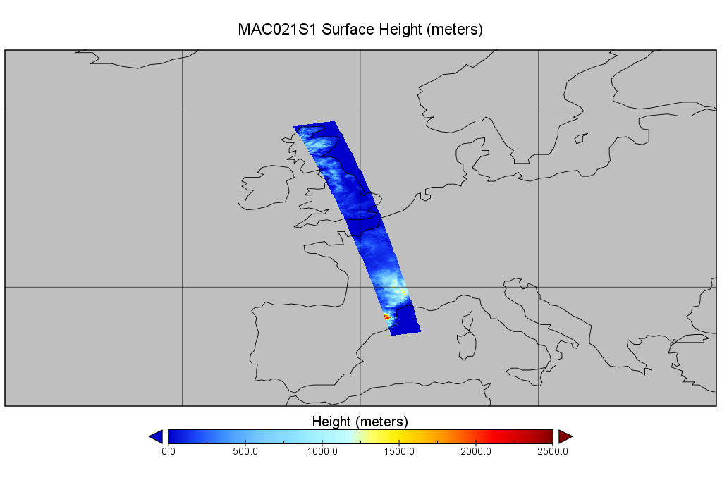
MODIS/Aqua Calibrated Radiances 250m 5-Min L1B Wide Swath Subset along CloudSat V002 (MAC02QS1) at GES DISC
This is the wide-swath MODIS/Aqua subset along CloudSat field of view track. The goal of the wide-swath subset is to select and return MODIS data that are within +-100 km across... -
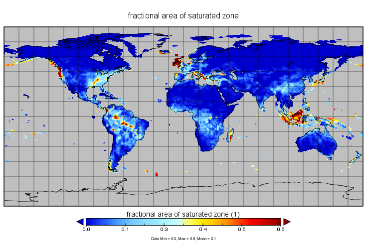
MERRA-2 tavgU_2d_lnd_Nx: 2d,diurnal,Time-Averaged,Single-Level,Assimilation,Land Surface Diagnostics 0.625 x 0.5 degree V5.12.4 (M2TUNXLND) at GES DISC
M2TUNXLND (or tavgU_2d_lnd_Nx) is a time-averaged 2-dimensional monthly diurnal means data collection in Modern-Era Retrospective analysis for Research and Applications version... -
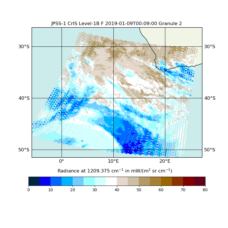
JPSS-1 CrIS Level 1B Full Spectral Resolution V2 (SNDRJ1CrISL1B) at GES DISC
The Cross-track Infrared Sounder (CrIS) Level 1B Full Spectral Resolution (FSR) data files contain radiance measurements along with ancillary spacecraft, instrument, and... -
GPM IMERG Final Precipitation L3 1 month 0.1 degree x 0.1 degree V07 (GPM_3IMERGM) at GES DISC
Version 07B is the current version of the IMERG data sets. Older versions will no longer be available and have been superseded by Version 07. The Integrated Multi-satellitE... -
HAQAST Sentinel-5P TROPOMI Nitrogen Dioxide (NO2) GLOBAL Annual Level 3 0.1 x 0.1 Degree Gridded Data Version 2.4 (HAQ_TROPOMI_NO2_GLOBAL_A_L3) at GES DISC
This product provides level 3 annual averages of tropospheric Nitrogen dioxide (NO2) vertical column density derived from the level 2 Tropospheric Monitoring Instrument... -
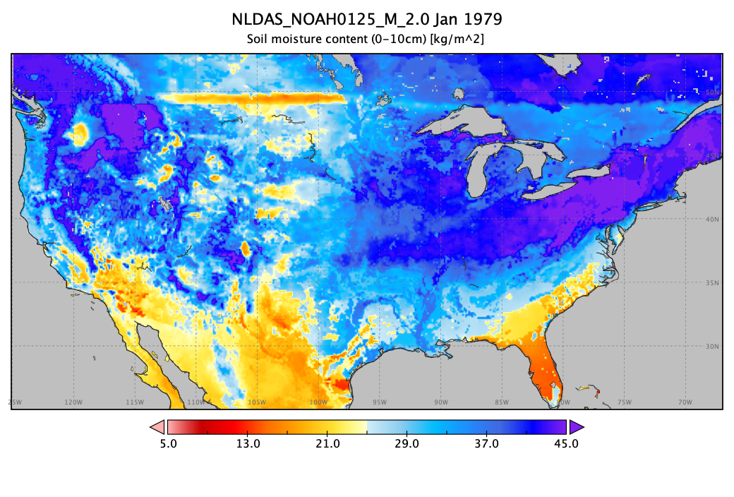
NLDAS Noah Land Surface Model L4 Monthly 0.125 x 0.125 degree V2.0 (NLDAS_NOAH0125_M) at GES DISC
This data set contains fifty-two fields simulated from the Noah land-surface model (LSM) for Phase 2 of the North American Land Data Assimilation System (NLDAS-2). The data are... -
CERES and GEO-Enhanced TOA, Within-Atmosphere and Surface Fluxes, Clouds and Aerosols Daily Terra Edition4A
CER_SYN1deg-Day_Terra-MODIS_Edition4A is the Clouds and the Earth's Radiant Energy System (CERES) and geostationary (GEO)-Enhanced Top-of-Atmosphere (TOA) and Surface Fluxes,... -
G-LiHT Metrics V001
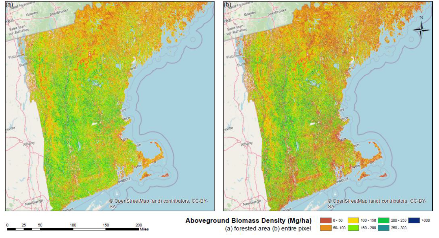
Goddard’s LiDAR, Hyperspectral, and Thermal Imager (G-LiHT) mission is a portable, airborne imaging system that aims to simultaneously... -
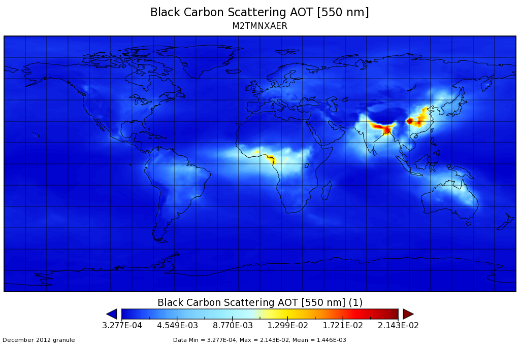
MERRA-2 tavgM_2d_aer_Nx: 2d,Monthly mean,Time-averaged,Single-Level,Assimilation,Aerosol Diagnostics 0.625 x 0.5 degree V5.12.4 (M2TMNXAER) at GES DISC
M2TMNXAER (or tavgM_2d_aer_Nx) is a time-averaged 2-dimensional monthly mean data collection in Modern-Era Retrospective analysis for Research and Applications version 2... -
GEOS-5 FP-IT 3D Time-Averaged Model-Layer Assimilated Data Geo-Colocated to OMI/Aura UV2 1-Orbit L2 Swath 13x24km V4 (OMUFPMET) at GES DISC
The GEOS-5 FP-IT 3D Time-Averaged Model-Layer Assimilated Data Geo-Colocated to OMI/Aura UV2 1-Orbit L2 Swath 13x24km (OMUFPMET) product provides selected meteorlogical fields... -
JPSS-1 CrIS Level 1B Principal Component Analysis / Rapid Event Detection V3.0 (SNDRJ1CrISL1BPCARED) at GES DISC
This sample data collection contains L1B radiance values that are compressed and denoised via Principal Component Analysis (PCA). Additionally it contains a new Rapid Event... -
OMI/Aura Near UV Aerosol Optical Depth and Single Scattering Albedo 1-orbit L2 Swath 13x24 km V004 (OMAERUV) at GES DISC
The Aura Ozone Monitoring Instrument level-2 near UV Aerosol data product OMAERUV (Version 004) is available from the NASA Goddard Earth Sciences Data and Information Services... -
Sentinel-1 Interferograms
Sentinel-1 SLC interferometric products generated by JPL using ISCE v2.0.0, delivered by ASF

Official websites use .gov
A
.gov website belongs to an official government
organization in the United States.
Secure .gov websites use HTTPS
A
lock (
) or https:// means you’ve safely connected to
the .gov website. Share sensitive information only on official,
secure websites.