-
EMIT L2A Estimated Surface Reflectance and Uncertainty and Masks 60 m V001
The Earth Surface Mineral Dust Source Investigation (EMIT) instrument measures surface mineralogy, targeting the Earth’s arid dust source regions. EMIT is installed on the... -
TROPESS CrIS-SNPP L2 for Mexico City Megacity, Standard Product V1 (TRPSDL2ALLCRSMGMEX) at GES DISC
The TROPESS CrIS-SNPP L2 for Mexico City Megacity, Standard Product contains the vertical distribution of seven retrieved atmospheric gases (CH4, CO, H2O, HDO, NH3, O3 and PAN)... -
Global Land Cover Mapping and Estimation Yearly 30 m V001
NASA's Making Earth System Data Records for Use in Research Environments (MEaSUREs) Global Land... -
GLDAS Noah Land Surface Model L4 3 hourly 0.25 x 0.25 degree V2.0 (GLDAS_NOAH025_3H) at GES DISC
NASA Global Land Data Assimilation System Version 2 (GLDAS-2) has three components: GLDAS-2.0, GLDAS-2.1, and GLDAS-2.2. GLDAS-2.0 is forced entirely with the Princeton... -
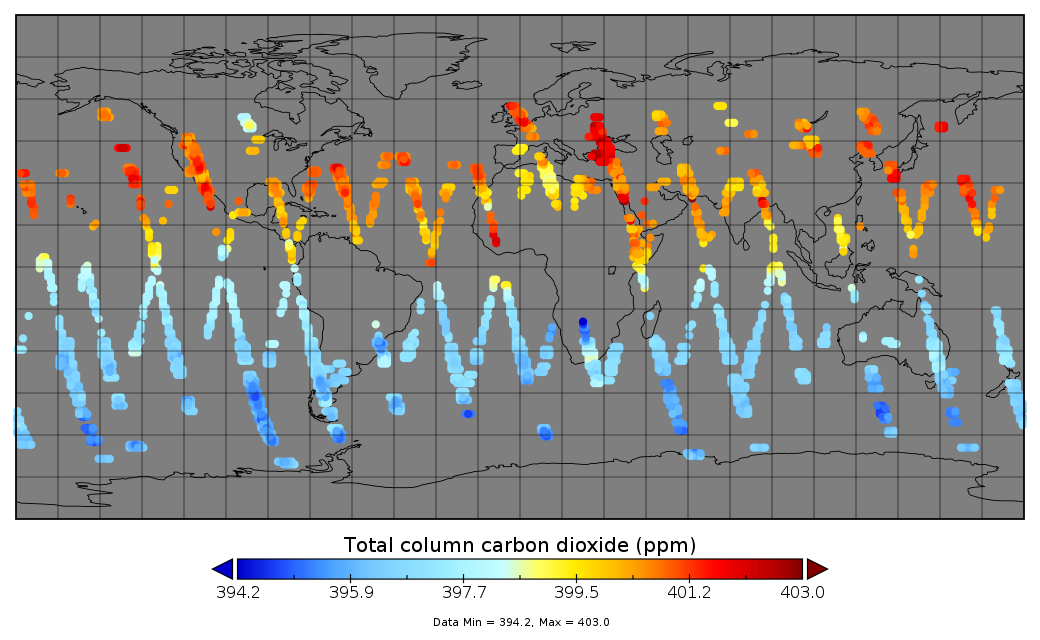
Multi-Instrument Fused bias-corrected XCO2 and other select fields aggregated as Level 4 daily files V3 (MultiInstrumentFusedXCO2)
Gridded carbon dioxide mole fraction (XCO2) and other select variables created by applying local kriging (also known as optimal interpolation) to daily aggregates of Orbiting... -
OPERA Land Surface Disturbance Alert from Harmonized Landsat Sentinel-2 product (Version 1)
The Observational Products for End-Users from Remote Sensing Analysis (OPERA) Land Surface Disturbance Alert from Harmonized... -
Aqua/AIRS L2 Support Retrieval (AIRS+AMSU) V7.0 at GES DISC
The Atmospheric Infrared Sounder (AIRS) is a grating spectrometer (R = 1200) aboard the second Earth Observing System (EOS) polar-orbiting platform, EOS Aqua. In combination... -
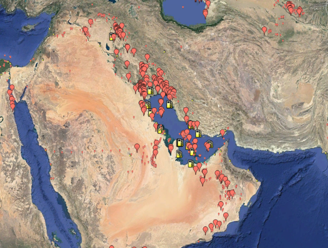
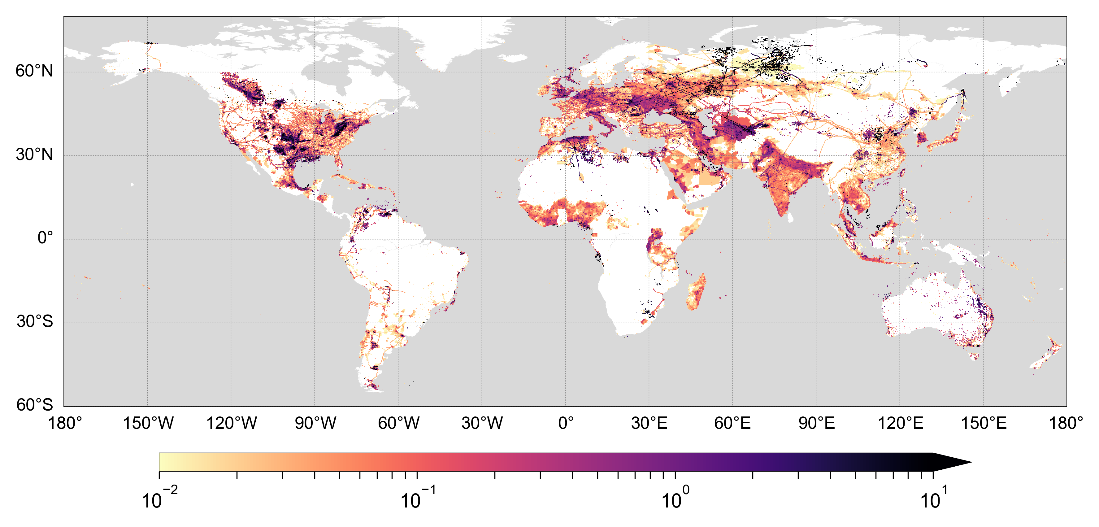
Global Inventory of Methane Emissions from Fuel Exploitation V1 (GFEI_CH4)
This is a global inventory of methane emissions from fuel exploitation (GFEI) created for the NASA Carbon Monitoring System (CMS). The emission sources represented in this... -
Voyager 1 Saturn Plasma Wave Spectrometer (PWS) Resampled Spectral Analyzer, Version 1.0, 48 s Data
- Data Set Overview\n =================\n\n+-------------------------------------------------+\n| Data Characteristics | Value...
-
TRMM Precipitation Radar Rain Characteristics L2 1.5 hours V7 (TRMM_2A23) at GES DISC
The new version of these data is in GPM-like format (consistent with the GPM Dual-frequency Radar data format), and can be found under the name GPM_2APR. The TRMM Precipitation... -
GEDI L2A Elevation and Height Metrics Data Global Footprint Level V002
The Global Ecosystem Dynamics Investigation (GEDI) mission aims to characterize ecosystem structure and dynamics to enable radically improved... -
GPM AMSU-B on NOAA 16 Common Calibrated Brightness Temperatures L1C 1.5 hours 16 km V07 (GPM_1CNOAA16AMSUB) at GES DISC
Version 07 is the current version of the data set. Older versions will no longer be available and have been superseded by Version 07. All 1C products have a common L1C data... -
NACP Site: Terrestrial Biosphere Model Output Data in Original Format
This data set contains the original model output data submissions from the 24 terrestrial biosphere models (TBM) that participated in the North American Carbon Program (NACP)... -
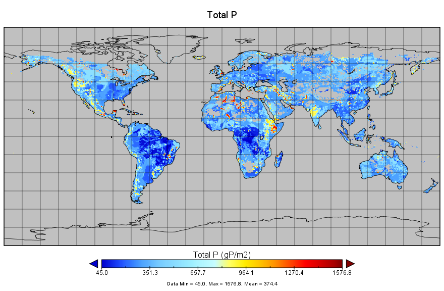
Regridded Harmonized World Soil Database v1.2
This data set describes select global soil parameters from the Harmonized World Soil Database (HWSD) v1.2, including additional calculated parameters such as area weighted soil... -
TROPESS CrIS-SNPP L2 for Delhi Megacity, Standard Product V1 (TRPSDL2ALLCRSMGDEL) at GES DISC
The TROPESS CrIS-SNPP L2 for Delhi Megacity, Standard Product contains the vertical distribution of seven retrieved atmospheric gases (CH4, CO, H2O, HDO, NH3, O3 and PAN) and... -
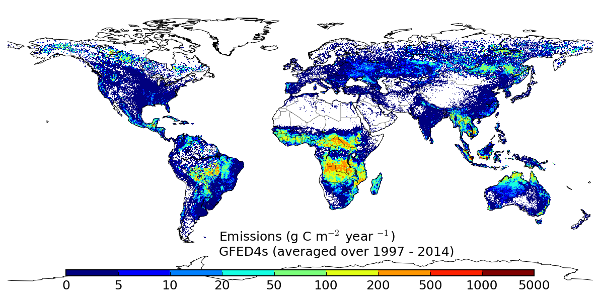
Global Fire Emissions Database, Version 4.1 (GFEDv4)
This dataset provides global estimates of monthly burned area, monthly emissions and fractional contributions of different fire types, daily or 3-hourly fields to scale the... -
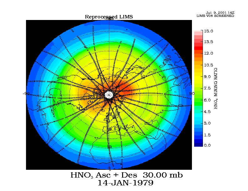
LIMS/Nimbus-7 Level 2 Vertical Profiles of O3, NO2, H2O, HNO3, Geopotential Height, and Temperature V006 (LIMSN7L2) at GES DISC
The Limb Infrared Monitor of the Stratosphere (LIMS) version 6 Level-2 data product consists of daily, geolocated, vertical profiles of temperature, geopotential height, and...

Official websites use .gov
A
.gov website belongs to an official government
organization in the United States.
Secure .gov websites use HTTPS
A
lock (
) or https:// means you’ve safely connected to
the .gov website. Share sensitive information only on official,
secure websites.