-
ATLAS/ICESat-2 L3A Land and Vegetation Height V006
This data set (ATL08) contains along-track heights above the WGS84 ellipsoid (ITRF2014 reference frame) for the ground and canopy surfaces. The canopy and ground surfaces are... -
National Aggregates of Geospatial Data Collection: Population, Landscape, And Climate Estimates, Version 3 (PLACE III)
The National Aggregates of Geospatial Data Collection: Population, Landscape, And Climate Estimates, Version 3 (PLACE III) data set contains estimates of national-level... -
Landsat Level-2 Surface Temperature Collection 2
Landsat Level-2 Surface Temperature Collection 2 products contain atmospherically compensated surface temperature data derived from Level-1 thermal infrared data. It is... -
VIIRS/NPP Surface Reflectance Daily L3 Global 0.05 Deg CMG V001
The Visible Infrared Imaging Radiometer Suite (VIIRS) (https://lpdaac.usgs.gov/dataset_discovery/viirs) daily surface reflectance Climate Modeling Grid (VNP09CMG) Version 1... -
IceBridge-Related DMS-Derived L4 Sea Ice Surface Cover Classification Orthorectified Images V001
This data set contains reprocessed, orthorectified images depicting labels that indicate the sea ice surface category, created by processing IceBridge DMS L0 Raw Imagery with... -
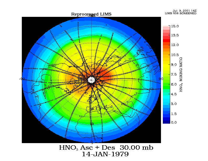
LIMS/Nimbus-7 Level 2 Vertical Profiles of O3, NO2, H2O, HNO3, Geopotential Height, and Temperature V006 (LIMSN7L2) at GES DISC
The Limb Infrared Monitor of the Stratosphere (LIMS) version 6 Level-2 data product consists of daily, geolocated, vertical profiles of temperature, geopotential height, and... -
SWOT Level 2 River Single-Pass Vector Reach Data Product, Version 2.0
The SWOT Level 2 River Single-Pass Vector Reach Data Product from the Surface Water Ocean Topography (SWOT) mission provides water surface elevation, slope, width, and discharge... -
China Dimensions Data Collection: China County-Level Data from Provincial Economic Yearbooks, Keyed to 1:1M GIS Map
The China County-Level Data on Provincial Economic Yearbooks, Keyed To 1:1M GIS Map consists of socioeconomic and boundary data for the administrative regions of China for 1990... -
MEaSUREs ITS_LIVE Greenland Monthly 120 m Ice Sheet Extent Masks, 1972-2022 V001
This ITS_LIVE data set, part of the Making Earth System Data Records for Use in Research Environments (MEaSUREs) Program, contains monthly, 120 m resolution ice masks for the... -
CERES and GEO-Enhanced TOA, Within-Atmosphere and Surface Fluxes, Clouds and Aerosols 3-Hourly Terra-Aqua Edition4A NGDA
CER_SYN1deg-3Hour_Terra-Aqua-MODIS_Edition4A is the Clouds and the Earth's Radiant Energy System (CERES) and geostationary (GEO)-Enhanced Top of Atmosphere (TOA), Within-... -
Global Land Survey
The U.S. Geological Survey (USGS) and the National Aeronautics and Space Administration (NASA) collaborated on the creation of the global land datasets using Landsat data from... -
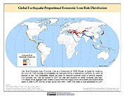
Global Earthquake Proportional Economic Loss Risk Deciles
The Global Earthquake Proportional Economic Loss Risk Deciles is a 2.5 minute grid of earthquake hazard economic loss as proportions of Gross Domestic Product (GDP) per... -
National High Altitude Photography
The National High Altitude Photography (NHAP) program, which was operated from 1980 - 1989, was coordinated by the U.S. Geological Survey as an interagency project to eliminate...

Official websites use .gov
A
.gov website belongs to an official government
organization in the United States.
Secure .gov websites use HTTPS
A
lock (
) or https:// means you’ve safely connected to
the .gov website. Share sensitive information only on official,
secure websites.