-
NOAA-20 VIIRS Level-3 Global Mapped 11µm Daytime Sea Surface Temperature (SST) Data, version R2024.0
The Visible and Infrared Imager/Radiometer Suite (VIIRS) is a multi-disciplinary instrument that is being flown on the Joint Polar Satellite System (JPSS) series of spacecraft,... -
Landsat Level-2 Surface Reflectance Collection 2
Landsat Level-2 Surface Reflectance Collection 2 products contain atmospherically corrected spectral reflectance data derived from Level-1 products and are available for the... -
Terra MODIS Level-3 Global Mapped 4µm Nighttime Sea Surface Temperature (SST4) Data, version R2019.0 NGDA
MODIS (or Moderate-Resolution Imaging Spectroradiometer) is a key instrument aboard the Terra (EOS AM) and Aqua (EOS PM) satellites. Terra's orbit around the Earth is timed so... -
Terra MODIS Level-3 Global Binned 4µm Day/Night Sea Surface Temperature (SST4) - Near Real-time (NRT) Data, version R2019.0 NGDA
The Ocean Biology DAAC produces near real-time (quicklook) products using the best-available combination of ancillary data from meteorological and ozone data. As such, the... -
Ground-Based Satellite Laser Ranging (SLR) Observation Data (full-rate, daily, 24 hour files) from NASA CDDIS
This dataset consists of ground-based Satellite Laser Ranging observation data (full-rate, daily 24 hour files) from the NASA Crustal Dynamics Data Information System (CDDIS).... -
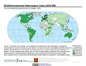
2012 Environmental Performance Index and Pilot Trend Environmental Performance Index
The 2012 Environmental Performance Index (EPI) ranks 132 countries on 22 performance indicators in the following 10 policy categories: environmental burden of disease, water... -
Global Database of Light-based Geospatial Income Inequality (LGII) Measures, Version 1
The Global Database of Light-based Geospatial Income Inequality (LGII) Measures, Version 1 data set contains Gini-coefficients of inequality for 234 countries and territories... -
Aerial Photo Single Frames
The Aerial Photography Single Frame Records collection is a large and diverse group of imagery acquired by Federal organizations from 1937 to the present. Over 6.4 million... -
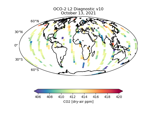
OCO-2 Level 2 geolocated XCO2 retrieval results and algorithm diagnostic information V11.2 (OCO2_L2_Diagnostic) at GES DISC
Version 11.2 is the current version of the data set. Older versions will no longer be available and are superseded by Version 11.2. The Orbiting Carbon Observatory is the first... -
USGS Group on Earth Observations (GEO) Global Agricultural Monitoring (GLAM) Uganda
The objective of GEO is to fulfil a vision of a world where decisions and actions are informed by coordinated, comprehensive and sustained Earth Observation (EO). This is being... -
CDDIS_GNSS_products_orbit_realtime
Precise satellite orbits derived from analysis of Global Navigation Satellite System (GNSS) data. Analysis Centers (ACs) of the International GNSS Service (IGS) retrieve GNSS... -
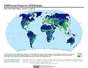
Last of the Wild Project, Version 3 (LWP-3): 2009 Human Footprint, 2018 Release
The 2009 Human Footprint, 2018 Release provides a global map of the cumulative human pressure on the environment in 2009, at a spatial resolution of ~1 km. The human pressure is... -
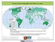
2005 Environmental Sustainability Index (ESI)
The 2005 Environmental Sustainability Index (ESI) is a measure of overall progress towards environmental sustainability, developed for 146 countries. The index provides a... -
Global Landslide Mortality Risks and Distribution
The Global Landslide Mortality Risks and Distribution is a 2.5 minute grid of global landslide mortality risks. Gridded Population of the World, Version 3 (GPWv3) data provide a... -
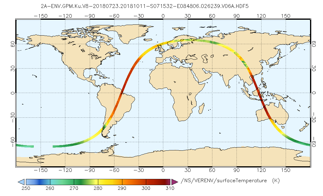
GPM DPR Ku Environment L2A 1.5 hours 5 km V07 (GPM_2AKuENV) at GES DISC
Version 07 is the current version of the data set. Older versions will no longer be available and have been superseded by Version 07. . This is environmental data that includes...

Official websites use .gov
A
.gov website belongs to an official government
organization in the United States.
Secure .gov websites use HTTPS
A
lock (
) or https:// means you’ve safely connected to
the .gov website. Share sensitive information only on official,
secure websites.