-
Nenana Ice Classic: Tanana River Ice Annual Breakup Dates, Version 2
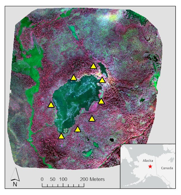
The Tanana river in the Interior of Alaska usually freezes over during October and November. The ice continues to grow throughout the winter accumulating an average maximum... -
CMAPSS Jet Engine Simulated Data
Data sets consists of multiple multivariate time series. Each data set is further divided into training and test subsets. Each time series is from a different engine i.e., the... -
IMS Bearings
Experiments on bearings. The data set was provided by the Center for Intelligent Maintenance Systems (IMS), University of Cincinnati. -
NACP North American Forest Dynamics Project: Forest Disturbance and Regrowth Data
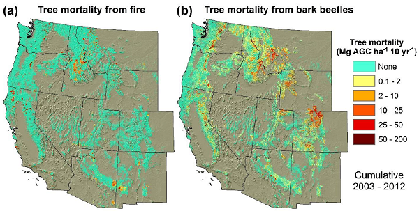
This data set provides the results of time-series analyses of Landsat imagery for 55 selected forested sites across the conterminous U.S.A. The output is a pair of disturbance... -
Randomized and Recommissioned Battery Dataset
An accelerated Life Testing Dataset for Lithium-Ion Batteries with Constant and Variable Loading Conditions We present an accelerated Li-ion battery... -
Small UAS Flyover Acoustics Data
This dataset provides audio recordings of small unmanned aerial systems (SUAS) -
PHM 2008 Challenge
This dataset describes the degradation of an aircraft engine. The dataset was used for the prognostics challenge competition at the International Conference on Prognostics and... -
Insulated-Gate Bipolar Transistor (IGBT) Accelerated Aging
Preliminary data from thermal overstress accelerated aging using the aging and characterization system. The data set contains aging data from 6 devices, one device aged with DC... -
GIBS Web Map Tile Service (WMTS)
The WMTS implementation standard provides a standards-based solution for serviing digital maps using predefined image tiles. Through the constructs of the specification, a WMTS... -
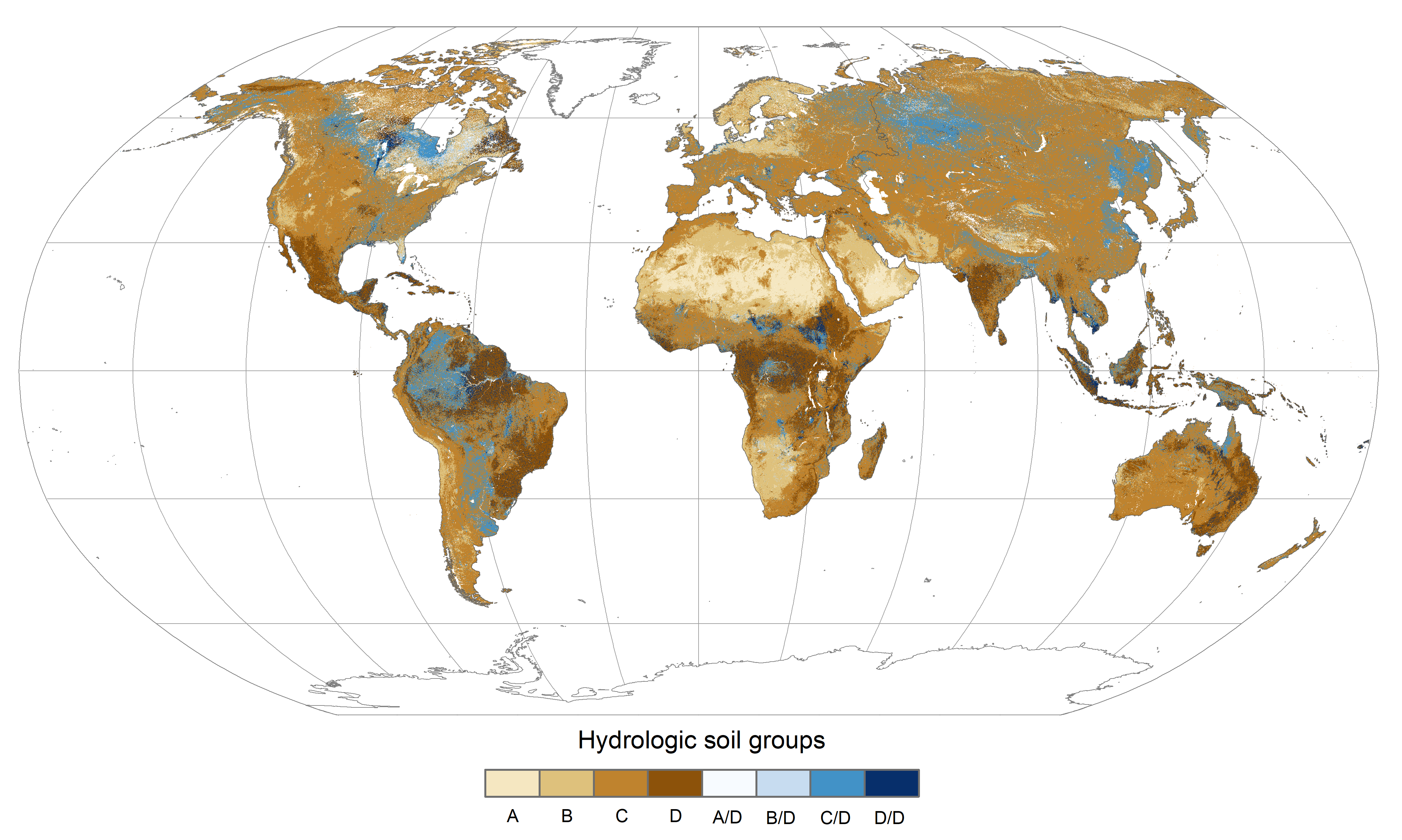
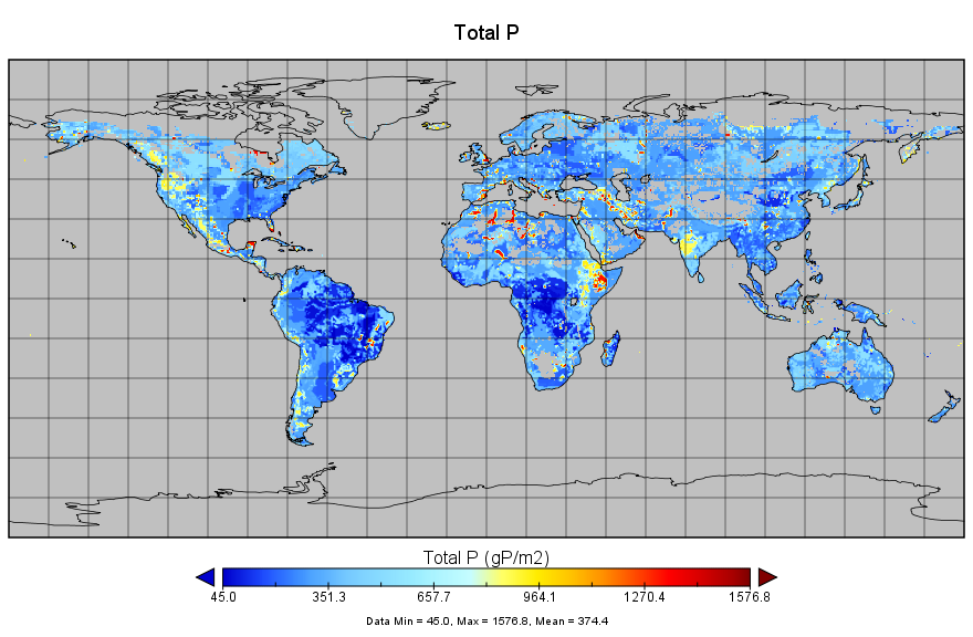
Global Hydrologic Soil Groups (HYSOGs250m) for Curve Number-Based Runoff Modeling
This dataset - HYSOGs250m - represents a globally consistent, gridded dataset of hydrologic soil groups (HSGs) with a geographical resolution of 1/480 decimal degrees,... -
CERES and GEO-Enhanced TOA, Within-Atmosphere and Surface Fluxes, Clouds and Aerosols Monthly Terra-Aqua Edition4A
CER_SYN1deg-Month_Terra-Aqua-MODIS_Edition4A is the Clouds and the Earth's Radiant Energy System (CERES) and geostationary (GEO)-Enhanced Top of Atmosphere (TOA), Within-... -
Aquarius Official Release Level 3 Ancillary Reynolds Sea Surface Temperature Standard Mapped Image Descending 7-Day Data V5.0
Aquarius Level 3 ancillary sea surface temperature (SST) standard mapped image data are the ancillary SST data used in the Aquarius calibration for salinity retrieval. They are... -
Aquarius Official Release Level 3 Rain-flagged Sea Surface Salinity Standard Mapped Image Descending 28-Day Running Mean Data V5.0
Aquarius Level 3 sea surface salinity (SSS) rain-flagged standard mapped image data contains gridded 1 degree spatial resolution SSS averaged over daily, 7 day, monthly, and...

Official websites use .gov
A
.gov website belongs to an official government
organization in the United States.
Secure .gov websites use HTTPS
A
lock (
) or https:// means you’ve safely connected to
the .gov website. Share sensitive information only on official,
secure websites.