-
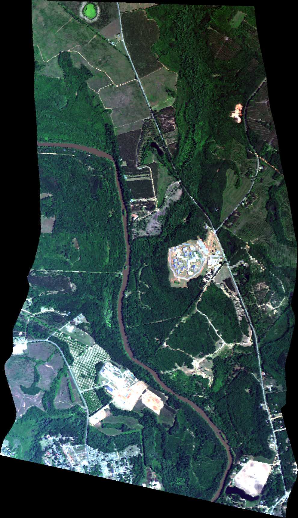
National Agriculture Imagery Program (NAIP)
The National Agriculture Imagery Program (NAIP) acquires aerial imagery during the agricultural growing seasons in the continental U.S. A primary goal of the NAIP program is to... -
JPL TELLUS GRACE Level-3 Monthly Land Water-Equivalent-Thickness Surface Mass Anomaly Release 6.0 version 04 in netCDF/ASCII/GeoTIFF Formats
The monthly land mass grids contain water mass anomalies given as equivalent water thickness derived from GRACE & GRACE-FO time-variable gravity observations during the... -
SWOT Level 2 KaRIn Low Rate Sea Surface Height Data Product - WindWave, Version 2.0
The SWOT Level 2 KaRIn Low Rate Sea Surface Height Windwave Data Product from the Surface Water Ocean Topography (SWOT) mission provides global sea surface height and... -
TRMM Precipitation Radar Rain Characteristics L2 1.5 hours V7 (TRMM_2A23) at GES DISC
The new version of these data is in GPM-like format (consistent with the GPM Dual-frequency Radar data format), and can be found under the name GPM_2APR. The TRMM Precipitation... -
SWOT Level 2 Water Mask Raster Image Data Product, Version 2.0
The SWOT Level 2 Water Mask Raster Image Data Product from the Surface Water Ocean Topography (SWOT) mission provides global surface water elevation and inundation extent... -
VIIRS/NPP Surface Reflectance Daily L3 Global 0.05 Deg CMG V001
The Visible Infrared Imaging Radiometer Suite (VIIRS) (https://lpdaac.usgs.gov/dataset_discovery/viirs) daily surface reflectance Climate Modeling Grid (VNP09CMG) Version 1... -
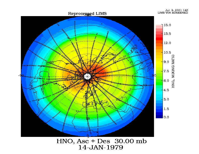
LIMS/Nimbus-7 Level 2 Vertical Profiles of O3, NO2, H2O, HNO3, Geopotential Height, and Temperature V006 (LIMSN7L2) at GES DISC
The Limb Infrared Monitor of the Stratosphere (LIMS) version 6 Level-2 data product consists of daily, geolocated, vertical profiles of temperature, geopotential height, and... -
SWOT Level 2 River Single-Pass Vector Reach Data Product, Version 2.0
The SWOT Level 2 River Single-Pass Vector Reach Data Product from the Surface Water Ocean Topography (SWOT) mission provides water surface elevation, slope, width, and discharge... -
CERES and GEO-Enhanced TOA, Within-Atmosphere and Surface Fluxes, Clouds and Aerosols 3-Hourly Terra-Aqua Edition4A NGDA
CER_SYN1deg-3Hour_Terra-Aqua-MODIS_Edition4A is the Clouds and the Earth's Radiant Energy System (CERES) and geostationary (GEO)-Enhanced Top of Atmosphere (TOA), Within-... -
VIIRS/NPP Surface Reflectance Daily L2G Global 1km and 500m SIN Grid V001
The Visible Infrared Imaging Radiometer Suite (VIIRS) (https://lpdaac.usgs.gov/dataset_discovery/viirs) daily surface reflectance (VNP09GA) Version 1 product provides an... -
SWOT Level 2 KaRIn Low Rate Sea Surface Height Data Product - Expert, Version 2.0
The SWOT Level 2 KaRIn Low Rate Sea Surface Height Expert Data Product from the Surface Water Ocean Topography (SWOT) mission provides global sea surface height and significant... -
GOES-R PLT Airborne Visible/Infrared Imaging Spectrometer (AVIRIS) V1
The GOES-R PLT Airborne Visible/Infrared Imaging Spectrometer (AVIRIS) dataset consists of radiance, reflectance, water phase, and navigation data delivered by the Airborne... -
SWOT Level 2 River Single-Pass Vector Node Data Product, Version 2.0
The SWOT Level 2 River Single-Pass Vector Node Data Product from the Surface Water Ocean Topography (SWOT) mission provides water surface elevation, slope, width, and discharge... -
SWOT Level 2 Nadir Altimeter Operational Geophysical Data Record with Waveforms, Version 2.0
The SWOT Level 2 Nadir Altimeter Operational Geophysical Data Record (OGDR) with Waveforms Version 1.0 dataset produced by the Surface Water and Ocean Topography (SWOT) mission... -
SWOT Level 2 River Single-Pass Vector Data Product, Version 2.0
The SWOT Level 2 River Single-Pass Vector Data Product from the Surface Water Ocean Topography (SWOT) mission provides water surface elevation, slope, width, and discharge... -
VIIRS/NPP Thermal Anomalies and Fire Daily L3 Global 1km SIN Grid V001
The daily NASA/NOAA Suomi National Polar-orbiting Partnership (Suomi NPP) Visible Infrared Imaging Radiometer Suite (VIIRS) Thermal Anomalies/Fire (VNP14A1) Version 1 data... -
MLS/Aura Near-Real-Time L2 Water Vapor (H2O) Mixing Ratio V005 (ML2H2O_NRT) at GES DISC
ML2H2O_NRT is the EOS Aura Microwave Limb Sounder (MLS) Near-Real-Time (NRT) product for water vapor (H2O). This product contains H2O profiles derived from the 190 GHz region.... -
GPM Ground Validation Doppler on Wheels (DOW) OLYMPEX V2
The GPM Ground Validation Doppler on Wheels (DOW) OLYMPEX V2 dataset was obtained by a dual-polarization and dual-frequency X-band mobile radar operated by the Center for Severe... -
MetOp-C ASCAT Level 2 25.0km Ocean Surface Wind Vectors in Full Orbit Swath
This dataset contains operational near-real-time Level 2 ocean surface wind vector retrievals from the Advanced Scatterometer (ASCAT) on MetOp-C at 25 km sampling resolution...

Official websites use .gov
A
.gov website belongs to an official government
organization in the United States.
Secure .gov websites use HTTPS
A
lock (
) or https:// means you’ve safely connected to
the .gov website. Share sensitive information only on official,
secure websites.