

TIROS-3 Medium-Resolution Scanning Radiometer Level 1 Final Meteorological Radiation Data V001 (TIROS3L1FMRT) at GES DISC
Access & Use Information
Public: This dataset is intended for public access and use.
License:
See this page for license information.
Downloads & Resources
-
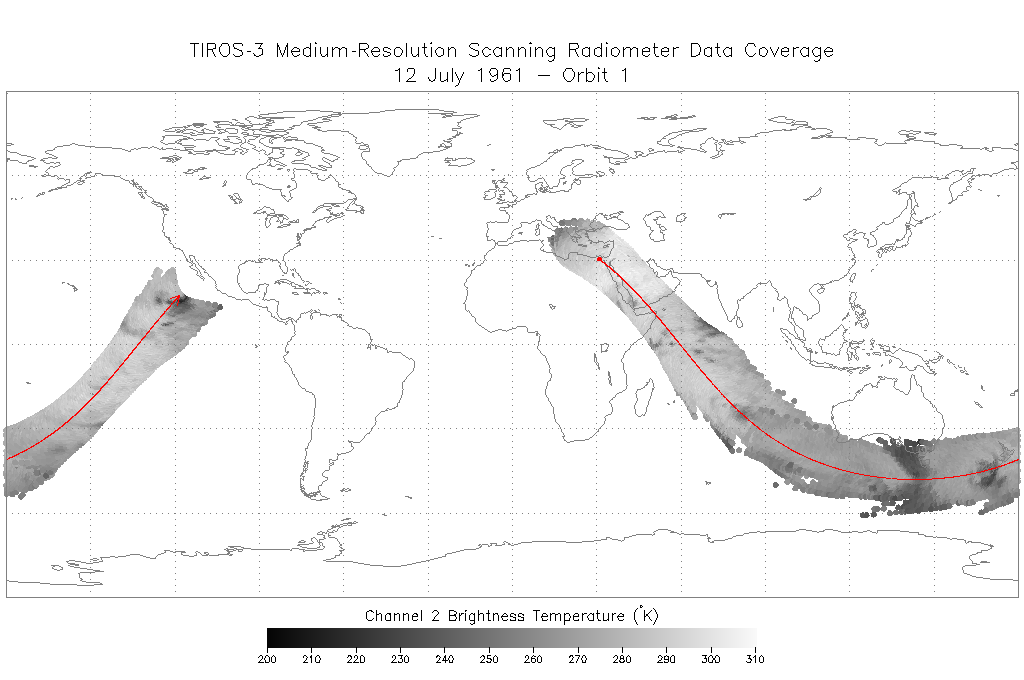
PNG Image FilePNG
TIROS3L1FMRT_Sample.png
-
Web ResourceBIN
TIROS3L1FMRT.001
-
Web ResourceBIN
-
PDF FilePDF
README.TIROS3FMRT.001.pdf
-
Zip FileZIP
TIROS_III_Radiation_Data_Users_Manual.zip
-
PDF FilePDF
TIROS_3_Radiation_Data_Catalog.pdf
-
Web ResourceBIN
Tiros_Inventory.xlsx
-
Web PageHTML
TIROS3L1FMRT_001.html
-
Original MetadataISO
The metadata's original source.
Dates
| Metadata Created Date | April 11, 2025 |
|---|---|
| Metadata Updated Date | April 9, 2026 |
Metadata Source
- Data.json Data.json Metadata
Harvested from NASA Data.json
Additional Metadata
| Resource Type | Dataset |
|---|---|
| Metadata Created Date | April 11, 2025 |
| Metadata Updated Date | April 9, 2026 |
| Publisher | NASA/GSFC/SED/ESD/TISL/GESDISC |
| Maintainer | |
| Identifier | 10.5067/XQV4UWX1XJ8Q |
| Data Last Modified | 2026-04-06 |
| Category | Earth Science |
| Public Access Level | public |
| Bureau Code | 026:00 |
| Metadata Context | https://project-open-data.cio.gov/v1.1/schema/catalog.jsonld |
| Schema Version | https://project-open-data.cio.gov/v1.1/schema |
| Catalog Describedby | https://project-open-data.cio.gov/v1.1/schema/catalog.json |
| Harvest Object Id | f7dc131f-cf87-4ef1-a60e-e27b2ca0b869 |
| Harvest Source Id | 58f92550-7a01-4f00-b1b2-8dc953bd598f |
| Harvest Source Title | NASA Data.json |
| License | https://www.usa.gov/government-works |
| Old Spatial | "CARTESIAN",{"WestBoundingCoordinate":-180,"NorthBoundingCoordinate":66,"EastBoundingCoordinate":180,"SouthBoundingCoordinate":-66} |
| Program Code | 026:000 |
| Source Datajson Identifier | True |
| Source Hash | 4341ce2d9bd4f3eabdbd5f5669e11660d51a4742cc6dc5c102f8d61766f6d867 |
| Source Schema Version | 1.1 |
| Spatial | |
| Temporal | 1961-07-12/1961-09-30 |
Didn't find what you're looking for? Suggest a dataset here.