

SCATSAT-1 ESDR Level 2 Ancillary Ocean Surface Fields Version 1.1
Access & Use Information
Public: This dataset is intended for public access and use.
License:
See this page for license information.
Downloads & Resources
-
Web ResourceBIN
-
Web ResourceBIN
-
Web ResourceBIN
-
Web ResourceBIN
README_latest_measures_v1.1_l2_ascat_scatsat_readmes_2024_06_12_SHV_v08.docx
-
JPEG Image FileJPEG
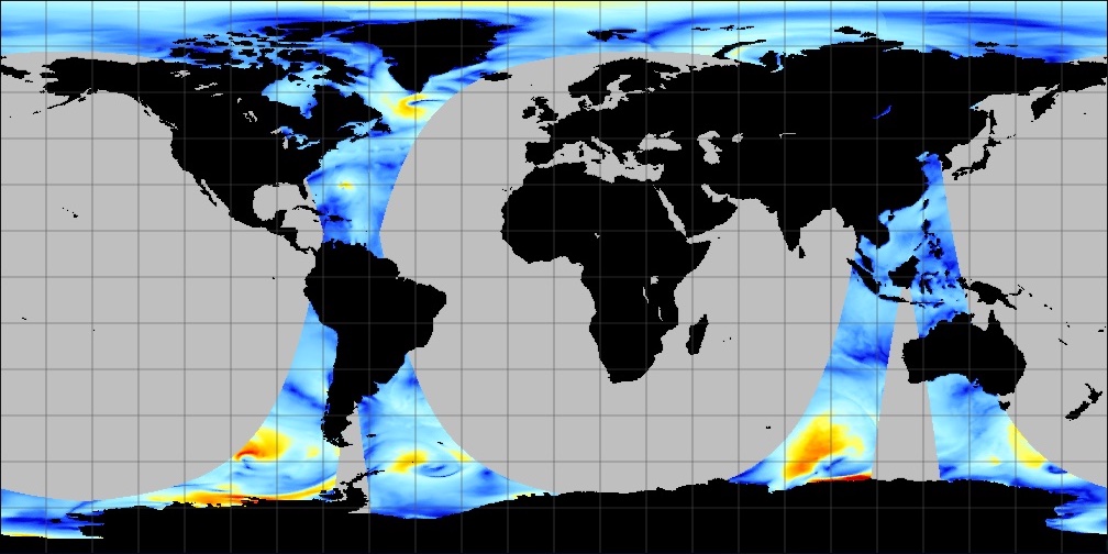
SCATSAT1_ESDR_ANCILLARY_L2_V1.1.jpg
-
PDF FilePDF
2022_12_02_MEASURES_NewDataGuide_v17_accepted.pdf
-
Web ResourceBIN
-
Original MetadataISO
The metadata's original source.
Dates
| Metadata Created Date | April 11, 2025 |
|---|---|
| Metadata Updated Date | April 9, 2026 |
Metadata Source
- Data.json Data.json Metadata
Harvested from NASA Data.json
Additional Metadata
| Resource Type | Dataset |
|---|---|
| Metadata Created Date | April 11, 2025 |
| Metadata Updated Date | April 9, 2026 |
| Publisher | NASA/JPL;NASA/JPL/PODAAC |
| Maintainer | |
| Identifier | 10.5067/ESDSS-L2C11 |
| Data Last Modified | 2026-04-06 |
| Category | Earth Science |
| Public Access Level | public |
| Bureau Code | 026:00 |
| Metadata Context | https://project-open-data.cio.gov/v1.1/schema/catalog.jsonld |
| Schema Version | https://project-open-data.cio.gov/v1.1/schema |
| Catalog Describedby | https://project-open-data.cio.gov/v1.1/schema/catalog.json |
| Harvest Object Id | acc753a8-e75b-4335-9161-70a2adc2512a |
| Harvest Source Id | 58f92550-7a01-4f00-b1b2-8dc953bd598f |
| Harvest Source Title | NASA Data.json |
| License | https://www.usa.gov/government-works |
| Old Spatial | "CARTESIAN",{"NorthBoundingCoordinate":90,"WestBoundingCoordinate":-180,"EastBoundingCoordinate":180,"SouthBoundingCoordinate":-90}, Maximum Altitude, 10 meters |
| Program Code | 026:000 |
| Source Datajson Identifier | True |
| Source Hash | 96b50dcf322909ffb552ee4c8d515a12fce514fb251211aaea9f2a226a9237a8 |
| Source Schema Version | 1.1 |
| Spatial | |
| Temporal | 2018-04-01/2021-03-01 |
Didn't find what you're looking for? Suggest a dataset here.