

OCO-2 Level 2 bias-corrected solar-induced fluorescence and other select fields from the IMAP-DOAS algorithm, Forward processing V11.2 (OCO2_L2_Fwd_SIF_11.2)
Access & Use Information
Public: This dataset is intended for public access and use.
License:
See this page for license information.
Downloads & Resources
-
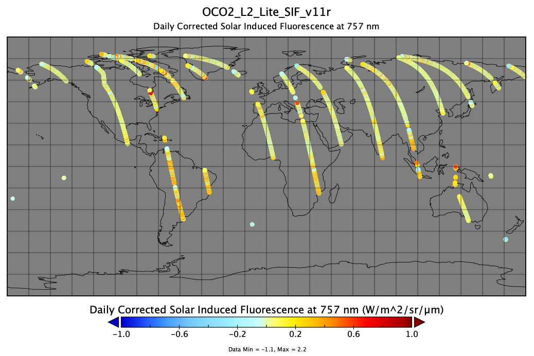
PNG Image FilePNG
OCO2_L2_Lite_SIF_v11r__20220331.png
-
Web PageHTML
OCO2_L2_Fwd_SIF_11.2.html
-
Web ResourceBIN
-
Web ResourceBIN
-
Web ResourceBIN
-
PDF FilePDF
README.OCO2.pdf
-
PDF FilePDF
OCO2_L2_DR_Statement_Forward_Stream_Bias_Corrected_v11.2_V1_RevA.pdf
-
PDF FilePDF
OCO2_XCO2_Lite_Files_and_Bias_Correction.pdf
-
PDF FilePDF
OCO_L2_ATBD.pdf
-
Web ResourceBIN
-
Web ResourceBIN
-
Web ResourceBIN
-
Web ResourceBIN
-
Web PageHTML
contents.html
-
Original MetadataISO
The metadata's original source.
Dates
| Metadata Created Date | April 11, 2025 |
|---|---|
| Metadata Updated Date | April 9, 2026 |
Metadata Source
- Data.json Data.json Metadata
Harvested from NASA Data.json
Additional Metadata
| Resource Type | Dataset |
|---|---|
| Metadata Created Date | April 11, 2025 |
| Metadata Updated Date | April 9, 2026 |
| Publisher | NASA/GSFC/SED/ESD/TISL/GESDISC |
| Maintainer | |
| Identifier | 10.5067/8XXUQU7HBGBL |
| Data Last Modified | 2026-04-06 |
| Category | Earth Science |
| Public Access Level | public |
| Bureau Code | 026:00 |
| Metadata Context | https://project-open-data.cio.gov/v1.1/schema/catalog.jsonld |
| Schema Version | https://project-open-data.cio.gov/v1.1/schema |
| Catalog Describedby | https://project-open-data.cio.gov/v1.1/schema/catalog.json |
| Harvest Object Id | dc09f91d-d74d-42ed-a881-8908a3b60f54 |
| Harvest Source Id | 58f92550-7a01-4f00-b1b2-8dc953bd598f |
| Harvest Source Title | NASA Data.json |
| License | https://www.usa.gov/government-works |
| Old Spatial | "CARTESIAN",{"WestBoundingCoordinate":-180,"NorthBoundingCoordinate":90,"EastBoundingCoordinate":180,"SouthBoundingCoordinate":-90} |
| Program Code | 026:000 |
| Source Datajson Identifier | True |
| Source Hash | f3d7d40a90883180b4f080976acd5eab653be71bfaf21f32185ade9b224cfe58 |
| Source Schema Version | 1.1 |
| Spatial |
Didn't find what you're looking for? Suggest a dataset here.