

OCO-2 Gridded bias-corrected XCO2 and other select fields aggregated as Level 4 daily files V3 (OCO2GriddedXCO2)
Access & Use Information
Public: This dataset is intended for public access and use.
License:
See this page for license information.
Downloads & Resources
-
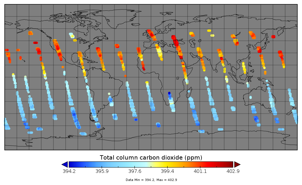
PNG Image FilePNG
OCO2GriddedXCO2_3.png
-
Web PageHTML
OCO2GriddedXCO2_3.html
-
Web ResourceBIN
-
Web ResourceBIN
-
Web ResourceBIN
-
PDF FilePDF
MEASURES17_Data_User_Guide_dataVersion3.pdf
-
PDF FilePDF
MEASURES17_ATBD_dataVersion3.pdf
-
Original MetadataISO
The metadata's original source.
Dates
| Metadata Created Date | April 11, 2025 |
|---|---|
| Metadata Updated Date | April 9, 2026 |
Metadata Source
- Data.json Data.json Metadata
Harvested from NASA Data.json
Additional Metadata
| Resource Type | Dataset |
|---|---|
| Metadata Created Date | April 11, 2025 |
| Metadata Updated Date | April 9, 2026 |
| Publisher | NASA/GSFC/SED/ESD/TISL/GESDISC |
| Maintainer | |
| Identifier | 10.5067/582L7HTJ343N |
| Data Last Modified | 2026-04-06 |
| Category | Earth Science |
| Public Access Level | public |
| Bureau Code | 026:00 |
| Metadata Context | https://project-open-data.cio.gov/v1.1/schema/catalog.jsonld |
| Schema Version | https://project-open-data.cio.gov/v1.1/schema |
| Catalog Describedby | https://project-open-data.cio.gov/v1.1/schema/catalog.json |
| Harvest Object Id | 77692cc7-9ba2-4665-a1c9-4eef9ea473ed |
| Harvest Source Id | 58f92550-7a01-4f00-b1b2-8dc953bd598f |
| Harvest Source Title | NASA Data.json |
| License | https://www.usa.gov/government-works |
| Old Spatial | "CARTESIAN",{"WestBoundingCoordinate":-180,"NorthBoundingCoordinate":90,"EastBoundingCoordinate":180,"SouthBoundingCoordinate":-90} |
| Program Code | 026:000 |
| Source Datajson Identifier | True |
| Source Hash | 3a2cb84e0db6e3d170e8435f692417cbeb50bc5f55123a6724331bcbfda76f89 |
| Source Schema Version | 1.1 |
| Spatial |
Didn't find what you're looking for? Suggest a dataset here.