

MODIS_CR_Equal_Area_3h
Access & Use Information
Public: This dataset is intended for public access and use.
License:
See this page for license information.
Downloads & Resources
-
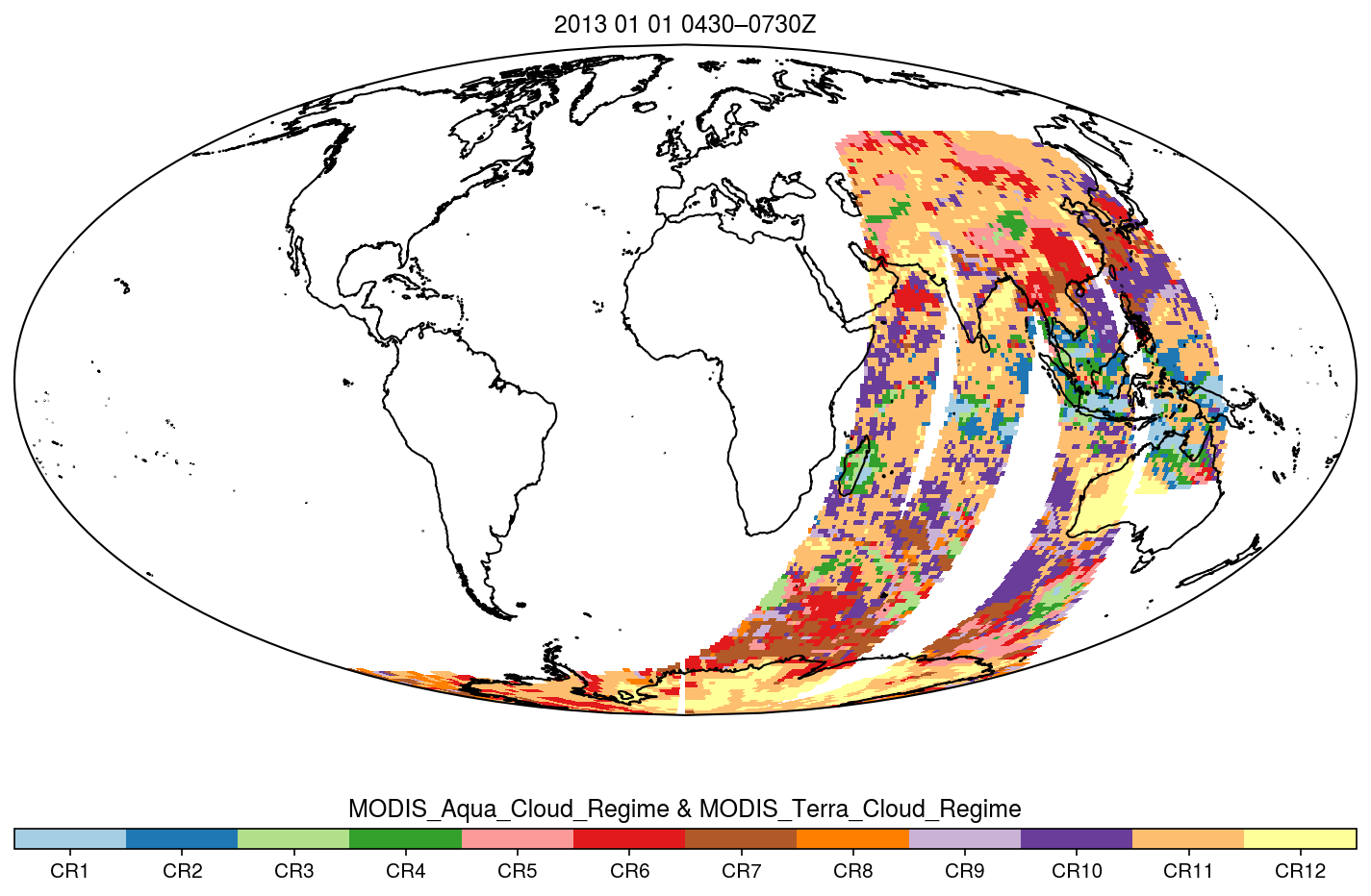
PNG Image FilePNG
fig.map.EqualArea_3h.png
-
Web PageHTML
MODIS_CR_Equal_Area_3h_1.0.html
-
Web ResourceBIN
-
PDF FilePDF
README.MEaSUREs_CR_Equal_Area_3h.pdf
-
Web ResourceBIN
-
Web ResourceBIN
-
Web ResourceBIN
-
Original MetadataISO
The metadata's original source.
Dates
| Metadata Created Date | April 11, 2025 |
|---|---|
| Metadata Updated Date | April 10, 2026 |
Metadata Source
- Data.json Data.json Metadata
Harvested from NASA Data.json
Additional Metadata
| Resource Type | Dataset |
|---|---|
| Metadata Created Date | April 11, 2025 |
| Metadata Updated Date | April 10, 2026 |
| Publisher | NASA/GSFC/SED/ESD/TISL/GESDISC |
| Maintainer | |
| Identifier | 10.5067/MEASURES/MODISCR/EQAR3H/DATA301 |
| Data Last Modified | 2026-04-06 |
| Category | Earth Science |
| Public Access Level | public |
| Bureau Code | 026:00 |
| Metadata Context | https://project-open-data.cio.gov/v1.1/schema/catalog.jsonld |
| Schema Version | https://project-open-data.cio.gov/v1.1/schema |
| Catalog Describedby | https://project-open-data.cio.gov/v1.1/schema/catalog.json |
| Harvest Object Id | e6922acb-2a2d-4d95-be07-ac1f2f9ebf4f |
| Harvest Source Id | 58f92550-7a01-4f00-b1b2-8dc953bd598f |
| Harvest Source Title | NASA Data.json |
| License | https://www.usa.gov/government-works |
| Old Spatial | "CARTESIAN",{"WestBoundingCoordinate":-180,"NorthBoundingCoordinate":90,"EastBoundingCoordinate":180,"SouthBoundingCoordinate":-90} |
| Program Code | 026:000 |
| Source Datajson Identifier | True |
| Source Hash | 1650fbf3d935083fe5746523e8a3bad22ffed52211304ad8b2f0b0c93d67057c |
| Source Schema Version | 1.1 |
| Spatial | |
| Temporal | 2002-12-31/2020-12-31 |
Didn't find what you're looking for? Suggest a dataset here.