

G-LiHT Lidar Point Cloud V001
Access & Use Information
Public: This dataset is intended for public access and use.
License:
See this page for license information.
Downloads & Resources
-
Web ResourceBIN
-
Web ResourceBIN
GLLIDARPC.001
-
Web ResourceBIN
-
Web ResourceBIN
-
PDF FilePDF
G-LiHT_User_Guide_V3.pdf
-
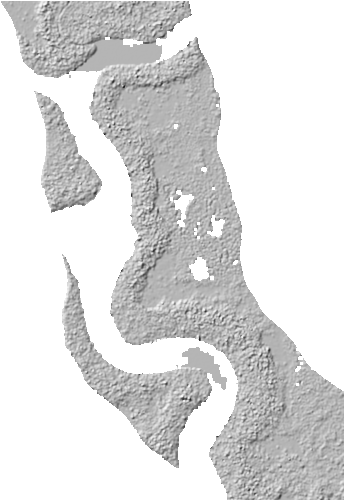
PNG Image FilePNG
GLLIDARPC_FL_20200311_FIA8_l0s48.1.png
-
Original MetadataISO
The metadata's original source.
Dates
| Metadata Created Date | April 11, 2025 |
|---|---|
| Metadata Updated Date | April 10, 2026 |
Metadata Source
- Data.json Data.json Metadata
Harvested from NASA Data.json
Additional Metadata
| Resource Type | Dataset |
|---|---|
| Metadata Created Date | April 11, 2025 |
| Metadata Updated Date | April 10, 2026 |
| Publisher | LP DAAC;NASA/GSFC/SED/ESD |
| Maintainer | |
| Identifier | 10.5067/Community/GLIHT/GLLIDARPC.001 |
| Data Last Modified | 2026-04-06 |
| Category | Earth Science |
| Public Access Level | public |
| Bureau Code | 026:00 |
| Metadata Context | https://project-open-data.cio.gov/v1.1/schema/catalog.jsonld |
| Schema Version | https://project-open-data.cio.gov/v1.1/schema |
| Catalog Describedby | https://project-open-data.cio.gov/v1.1/schema/catalog.json |
| Harvest Object Id | 961398be-ad0b-4ad3-b920-10fcceea7edd |
| Harvest Source Id | 58f92550-7a01-4f00-b1b2-8dc953bd598f |
| Harvest Source Title | NASA Data.json |
| License | https://www.usa.gov/government-works |
| Old Spatial | {"NorthBoundingCoordinate":73,"WestBoundingCoordinate":-170,"EastBoundingCoordinate":-50,"SouthBoundingCoordinate":10},"CARTESIAN" |
| Program Code | 026:000 |
| Source Datajson Identifier | True |
| Source Hash | a915af33bdaeb50bed7816ce481f2e99b156799fd17b43d1f54650f3ece0224d |
| Source Schema Version | 1.1 |
| Spatial | |
| Temporal | 2011-06-30/2026-03-30 |
Didn't find what you're looking for? Suggest a dataset here.