

CAMEX-3 MACAWS V1
Access & Use Information
Public: This dataset is intended for public access and use.
License:
See this page for license information.
Downloads & Resources
-
Web ResourceBIN
-
Web ResourceBIN
-
Web ResourceBIN
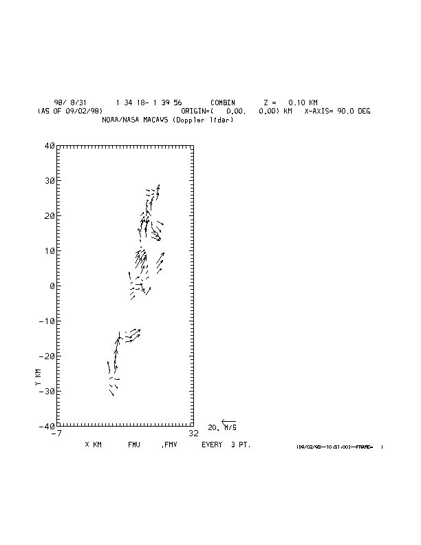
98242_macaws.gif
-
Web PageHTML
dc8macaws_dataset.html
-
Web ResourceBIN
-
Web ResourceBIN
-
Web ResourceBIN
-
Original MetadataISO
The metadata's original source.
Dates
| Metadata Created Date | April 11, 2025 |
|---|---|
| Metadata Updated Date | April 10, 2026 |
Metadata Source
- Data.json Data.json Metadata
Harvested from NASA Data.json
Additional Metadata
| Resource Type | Dataset |
|---|---|
| Metadata Created Date | April 11, 2025 |
| Metadata Updated Date | April 10, 2026 |
| Publisher | NASA/MSFC/GHRC |
| Maintainer | |
| Identifier | 10.5067/CAMEX-3/LIDAR/DATA101 |
| Data Last Modified | 2026-04-06 |
| Category | Earth Science |
| Public Access Level | public |
| Bureau Code | 026:00 |
| Metadata Context | https://project-open-data.cio.gov/v1.1/schema/catalog.jsonld |
| Schema Version | https://project-open-data.cio.gov/v1.1/schema |
| Catalog Describedby | https://project-open-data.cio.gov/v1.1/schema/catalog.json |
| Harvest Object Id | f62e88db-9d70-4c77-9cf9-0da33ce22ddc |
| Harvest Source Id | 58f92550-7a01-4f00-b1b2-8dc953bd598f |
| Harvest Source Title | NASA Data.json |
| License | https://www.usa.gov/government-works |
| Old Spatial | "CARTESIAN",{"WestBoundingCoordinate":-105.0,"NorthBoundingCoordinate":50.0,"EastBoundingCoordinate":-50.0,"SouthBoundingCoordinate":10.0} |
| Program Code | 026:000 |
| Source Datajson Identifier | True |
| Source Hash | 00f3481a758a71e760d1c4058bde7ca7e031f6d39d397a8346df9bd8a1f75587 |
| Source Schema Version | 1.1 |
| Spatial | |
| Temporal | 1998-08-21/1998-09-22 |
Didn't find what you're looking for? Suggest a dataset here.