
-
Federal
An Unvegetated to Vegetated Ratio (UVVR) for coastal wetlands of the Atlantic Coast - 2000
Department of the Interior —
Prior research has shown that sediment budgets, and therefore stability, of microtidal marsh complexes scale with areal unvegetated to vegetated marsh ratios (UVVR)... -
Federal
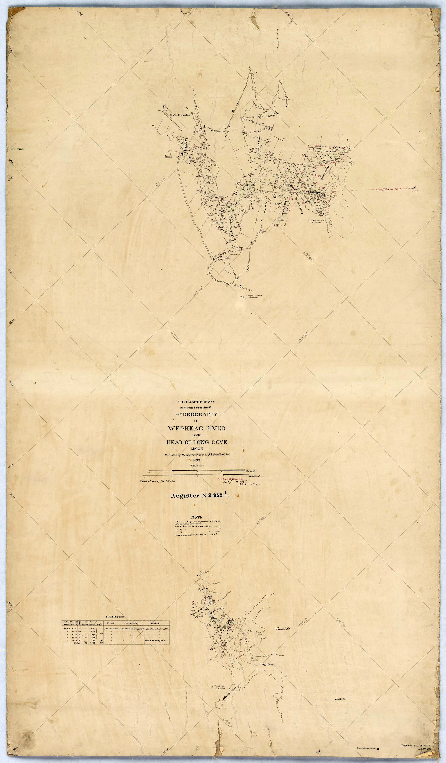
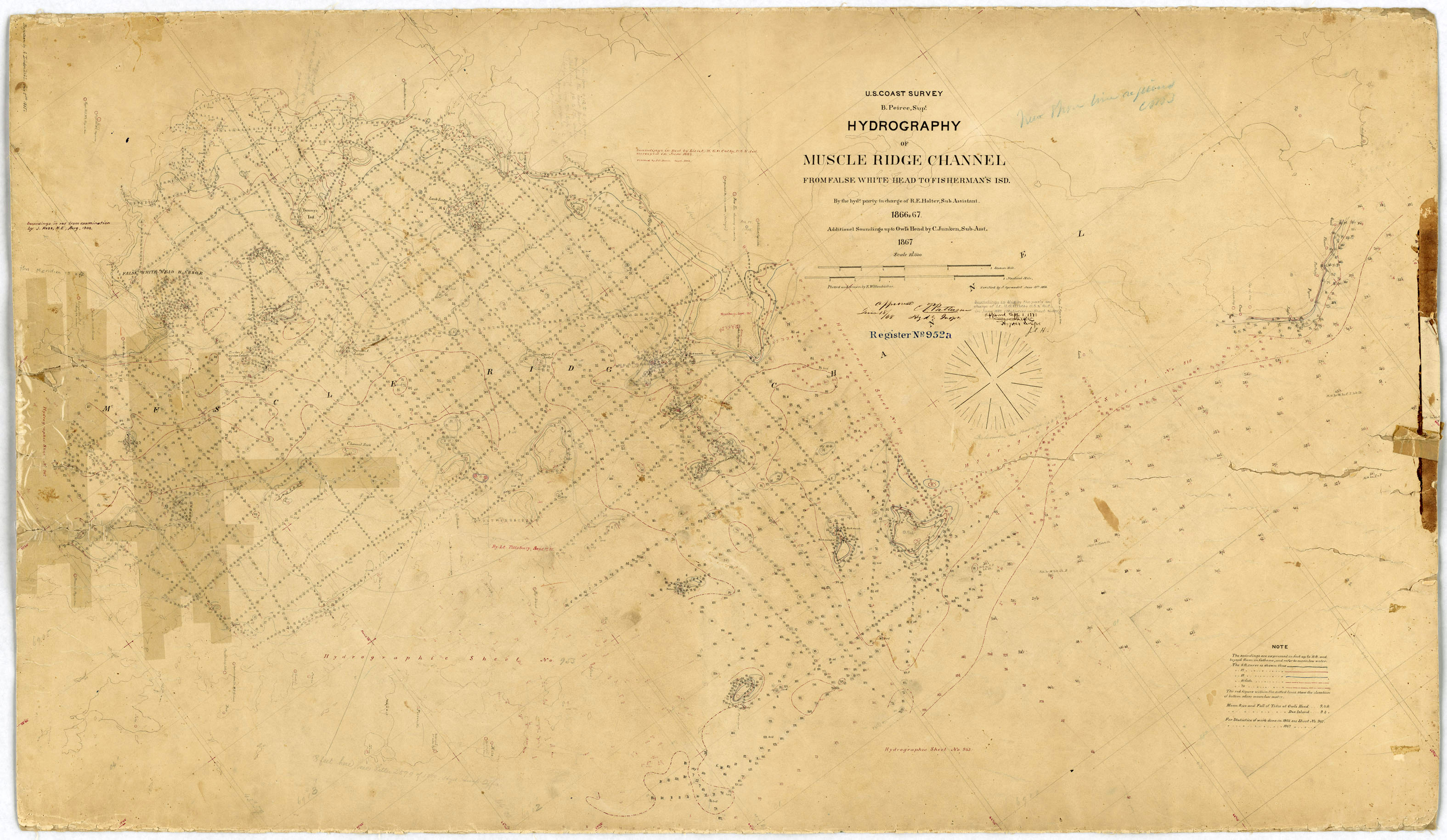
H00952A: NOS Hydrographic Survey
National Oceanic and Atmospheric Administration, Department of Commerce —
The National Oceanic and Atmospheric Administration (NOAA) has the statutory mandate to collect hydrographic data in support of nautical chart compilation for safe... -
Federal
Katahdin Woods and Waters National Monument 4-Band Aerial Imagery Mosaics - Valley Unit - West
Department of the Interior —
Katahdin Woods and Waters National Monument was established on August 24, 2016. The monument spans mountains and forest lands in north central Maine. High-resolution... -
Federal
US EPA Nonattainment Areas and Designations-Annual PM2.5 (2012 NAAQS)
U.S. Environmental Protection Agency —
This web service contains the following layer: PM2.5 Annual 2012 NAAQS State Level. Full FGDC metadata records for each layer may be found by clicking the layer name... -
Federal
Wave Energy Prize - 1/50th Testing - RTI Wave Power Oscillating Wave Surge Converter
Department of Energy —
This submission of data includes all the 1/50th scale testing data completed on the Wave Energy Prize for the RTI Wave Power team, and includes: - 1/50th test data... -
Federal
H02825: NOS Hydrographic Survey
National Oceanic and Atmospheric Administration, Department of Commerce —
The National Oceanic and Atmospheric Administration (NOAA) has the statutory mandate to collect hydrographic data in support of nautical chart compilation for safe... -
Federal
Maine and New Hampshire 2016 HYDRO Lines
National Oceanic and Atmospheric Administration, Department of Commerce —
This data set contains vector lines representing coastal hydrography features that are not captured in the HYDROP polygon data layer. The features found in the HYDROL... -
Federal
H08339: NOS Hydrographic Survey , Mount Desert Island Wire Drag Survey, Maine, 1956-09-10
National Oceanic and Atmospheric Administration, Department of Commerce —
The National Oceanic and Atmospheric Administration (NOAA) has the statutory mandate to collect hydrographic data in support of nautical chart compilation for safe... -
Federal
IVR Herring Database
National Oceanic and Atmospheric Administration, Department of Commerce —
This database contains weekly reports submitted by herring vessels with IVR reporting requirements. -
Federal
Estimated Groundwater Withdrawals from Principal Aquifers in the United States—County Level Data for 2015
Department of the Interior —
This dataset contains estimates of water withdrawals from 66 principal aquifers and "other" non-principal aquifers during 2015 for various categories of use in each... -
Federal
L01 Met - Meteorology
National Oceanic and Atmospheric Administration, Department of Commerce —
Ocean observation data from the Northeastern Regional Association of Coastal & Ocean Observing Systems (NERACOOS). The NERACOOS region includes the northeast... -
Federal
H00903: NOS Hydrographic Survey
National Oceanic and Atmospheric Administration, Department of Commerce —
The National Oceanic and Atmospheric Administration (NOAA) has the statutory mandate to collect hydrographic data in support of nautical chart compilation for safe... -
Federal
I01 Optics
National Oceanic and Atmospheric Administration, Department of Commerce —
Ocean observation data from the Northeastern Regional Association of Coastal & Ocean Observing Systems (NERACOOS). The NERACOOS region includes the northeast... -
Federal
Katahdin Woods and Waters National Monument 4-Band Aerial Imagery Mosaics - Three Rivers and Lunksoos Camps Units
Department of the Interior —
Katahdin Woods and Waters National Monument was established on August 24, 2016. The monument spans mountains and forest lands in north central Maine. High-resolution... -
Federal
Literature review results and regulatory summaries of freshwater stressors influencing biological impairment in the Chesapeake Bay watershed, USA
Department of the Interior —
This data release contains relevant datasets used in the analysis for the Chesapeake Bay stressor identification project, for which results are described in Fanelli... -
Federal
EnviroAtlas - Bird Watching Recreation Demand by 12-Digit HUC in the Conterminous United States
U.S. Environmental Protection Agency —
This EnviroAtlas dataset includes the total number of recreational days per year demanded by people ages 18 and over for bird watching by location in the contiguous... -
Federal
CO-OPS station 8411060: CUTLER FARRIS WHARF, LITTLE RIVER 1-minute Raw Tsunami Water Level Data
National Oceanic and Atmospheric Administration, Department of Commerce —
CO-OPS has been involved with tsunami warning and mitigation since the Coast and Geodetic Survey started the Tsunami Warning System in 1948 to provide warnings to the... -
Federal
EnviroAtlas - Availability of Local Food by Census Block Group for the Conterminous United States
U.S. Environmental Protection Agency —
This EnviroAtlas dataset contains a count of the number of local farmers markets within each census block group (CBG) based on their location given within the USDA... -
Federal
EnviroAtlas - Average Annual Sediment Yield to the Nearest Waterbody (Scaled) - Existing Land Use / Land Cover Scenario for the Conterminous United States
U.S. Environmental Protection Agency —
This EnviroAtlas national dataset shows the average annual sediment yield in metric tons per hectare*10,000 to the nearest waterbody by each pixel for the...

Official websites use .gov
A
.gov website belongs to an official government
organization in the United States.
Secure .gov websites use HTTPS
A
lock (
) or https:// means you’ve safely connected to
the .gov website. Share sensitive information only on official,
secure websites.