-
Federal
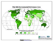
Pilot 2006 Environmental Performance Index (EPI)
National Aeronautics and Space Administration —
The Pilot 2006 Environmental Performance Index (EPI) centers on two broad environmental protection objectives: (1) reducing environmental stresses on human health,... -
Federal
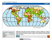
Global Rural-Urban Mapping Project, Version 1 (GRUMPv1): Settlement Points
National Aeronautics and Space Administration —
The Global Rural-Urban Mapping Project, Version 1 (GRUMPv1): Settlement Points contains geospatial location for selected settlements. This data set is produced by the... -
Federal
Gridded Population of the World, Version 3 (GPWv3): Population Count Grid, Future Estimates
National Aeronautics and Space Administration —
The Gridded Population of the World, Version 3 (GPWv3): Population Count Grid, Future Estimates consists of estimates of human population for the years 2005, 2010,... -
Federal
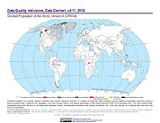
Gridded Population of the World, Version 4 (GPWv4): Data Quality Indicators, Revision 11
National Aeronautics and Space Administration —
The Gridded Population of the World, Version 4 (GPWv4): Data Quality Indicators, Revision 11 consists of three data layers created to provide context for the... -
Federal
China Dimensions Data Collection: Bibliography of Chinese Administrative Geography
National Aeronautics and Space Administration —
The Bibliography of Chinese Administrative Geography is a historical collection of bibliographic information on 75 published books describing the administrative... -
Federal
Archive of Census Related Products (ACRP): 1990 ZIP Equivalency Files
National Aeronautics and Space Administration —
The 1990 Zip Equivalency Files portion of the Archive of Census Related Products (ACRP) contains population and housing data derived from the U.S. Census Bureau's... -
Federal
Global Multihazard Frequency and Distribution
National Aeronautics and Space Administration —
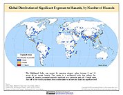
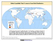
The Global Multihazard Frequency and Distribution is a 2.5 minute grid presenting a simple multihazard index based solely on summated single-hazard decile values. The... -
Federal
Global Flood Mortality Risks and Distribution
National Aeronautics and Space Administration —
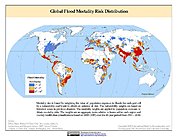
The Global Flood Mortality Risks and Distribution is a 2.5 minute grid of global flood mortality risks. Gridded Population of the World, Version 3 (GPWv3) data... -
Federal
IPCC Socio-Economic Baseline Dataset
National Aeronautics and Space Administration —
The Intergovernmental Panel on Climate Change (IPCC) Socio-Economic Baseline Dataset consists of population, human development, economic, water resources, land cover,... -
Federal
Low Elevation Coastal Zone (LECZ) Urban-Rural Population and Land Area Estimates, Version 2
National Aeronautics and Space Administration —
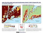
The Low Elevation Coastal Zone (LECZ) Urban-Rural Population and Land Area Estimates, Version 2 data set consists of country-level estimates of urban population,... -
Federal
Country Trends in Major Air Pollutants
National Aeronautics and Space Administration —
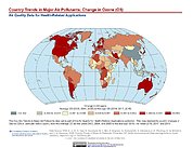
The Country Trends in Major Air Pollutants data set is a framework of public-health-focused air quality indicators that quantifies over 200 countries' trends in... -
Federal
West Africa Coastal Vulnerability Mapping: Commercial Crop Production, 2000
National Aeronautics and Space Administration —
The West Africa Coastal Vulnerability Mapping: Commercial Crop Production, 2000 data set includes 5-minute rasters of crop production in metric tons per grid cell for... -
Federal
Global Volcano Hazard Frequency and Distribution
National Aeronautics and Space Administration —
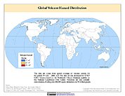
Global Volcano Hazard Frequency and Distribution is a 2.5 minute gridded data set based upon the National Geophysical Data Center (NGDC) Volcano Database spanning the... -
Federal
Global Rural-Urban Mapping Project, Version 1 (GRUMPv1): Population Density Grid
National Aeronautics and Space Administration —
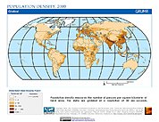
The Global Rural-Urban Mapping Project, Version 1 (GRUMPv1): Population Density Grid estimates population per square km for the years 1990, 1995, and 2000 by 30 arc-... -
Federal
Poverty Mapping Project: Small Area Estimates of Poverty and Inequality
National Aeronautics and Space Administration —
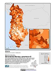
The Poverty Mapping Project: Small Area Estimates of Poverty and Inequality data set consists of consumption-based poverty, inequality and related measures for... -
Federal
Global Human Built-up And Settlement Extent (HBASE) Dataset From Landsat
National Aeronautics and Space Administration —
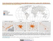
The Global Human Built-up And Settlement Extent (HBASE) Dataset from Landsat is a global map of HBASE derived from the Global Land Survey (GLS) Landsat dataset for... -
Federal
Georeferenced Population Datasets of Mexico (GEO-MEX): Population Database of Mexico
National Aeronautics and Space Administration —
The Population Database of Mexico contains geographically referenced population data for Mexican states, municipalities and localities from the 1990 Mexican... -
Federal
Natural Resource Protection and Child Health Indicators, 2015 Release
National Aeronautics and Space Administration —
The Natural Resource Protection and Child Health Indicators, 2015 Release, are produced in support of the U.S. Millennium Challenge Corporation as selection criteria... -
Federal
Archive of Census Related Products (ACRP): 1990 Enhanced Migration Files
National Aeronautics and Space Administration —
The 1990 Enhanced Migration Files portion of the Archive of Census Related Products (ACRP) contains migration data derived from the U.S. Census Bureau's Summary Tape...

Official websites use .gov
A
.gov website belongs to an official government
organization in the United States.
Secure .gov websites use HTTPS
A
lock (
) or https:// means you’ve safely connected to
the .gov website. Share sensitive information only on official,
secure websites.