
-
Federal
H02136: NOS Hydrographic Survey , 1892-12-31
National Oceanic and Atmospheric Administration, Department of Commerce —
The National Oceanic and Atmospheric Administration (NOAA) has the statutory mandate to collect hydrographic data in support of nautical chart compilation for safe... -
Federal
H07833: NOS Hydrographic Survey , 1950-12-31
National Oceanic and Atmospheric Administration, Department of Commerce —
The National Oceanic and Atmospheric Administration (NOAA) has the statutory mandate to collect hydrographic data in support of nautical chart compilation for safe... -
Federal
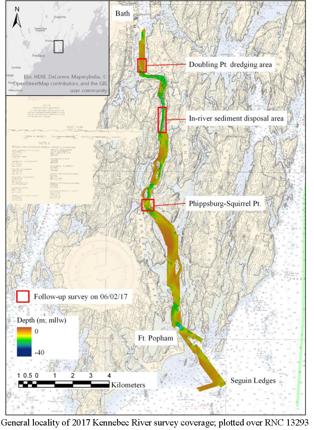
W00451: NOS Hydrographic Survey , External Source Data 2018, 2017-06-02
National Oceanic and Atmospheric Administration, Department of Commerce —
The National Oceanic and Atmospheric Administration (NOAA) has the statutory mandate to collect hydrographic data in support of nautical chart compilation for safe... -
Federal
2022-2023 NOAA NGS Topobathy Lidar DEM: Coastal Maine
National Oceanic and Atmospheric Administration, Department of Commerce —
The NOAA Maine Topbathymetric Lidar was collected by NV5 using Leica Chiroptera Hawkeye 4X systems. The lidar acquisitions were flown between 20221006 and 20231216 in... -
Federal
TIGER/Line Shapefile, Current, State, Maine, State Legislative District (SLD) Upper Chamber
U.S. Census Bureau, Department of Commerce —
This resource is a member of a series. The TIGER/Line shapefiles and related database files (.dbf) are an extract of selected geographic and cartographic information... -
Federal
Point shapefile of probability of shoreline change along the U.S. Atlantic Coast (ProbSLC_AtlanticData.shp)
Department of the Interior —
During the 21st century, sea-level rise will have a wide range of effects on coastal environments, human development and infrastructure in coastal areas. Consequently... -
Federal
H01032: NOS Hydrographic Survey
National Oceanic and Atmospheric Administration, Department of Commerce —
The National Oceanic and Atmospheric Administration (NOAA) has the statutory mandate to collect hydrographic data in support of nautical chart compilation for safe... -
Federal
2011 NOAA Near Infrared Ortho-rectified Mosaic of Maine: Cutts Island to Prouts Neck
National Oceanic and Atmospheric Administration, Department of Commerce —
This data set contains ortho-rectified mosaic tiles, created as a product from the NOAA Integrated Ocean and Coastal Mapping (IOCM) initiative. The source imagery was... -
Federal
Gridded uniform hazard peak ground acceleration data and 84th-percentile peak ground acceleration data used to calculate the Maximum Considered Earthquake Geometric Mean (MCEG) peak ground acceleration (PGA) values of the 2020 NEHRP Recommended Seismic Provisions and 2022 ASCE/SEI 7 Standard for the conterminous United States.
Department of the Interior —
The Maximum Considered Earthquake Geometric Mean (MCEG) peak ground acceleration (PGA) values of the 2020 NEHRP Recommended Seismic Provisions and 2022 ASCE/SEI 7... -
Federal
H00684: NOS Hydrographic Survey
National Oceanic and Atmospheric Administration, Department of Commerce —
The National Oceanic and Atmospheric Administration (NOAA) has the statutory mandate to collect hydrographic data in support of nautical chart compilation for safe... -
Federal
Table and accompanying photographs for biogeomorphic classification of shorebird nesting sites on the U.S. Atlantic coast from May to August, 2014
Department of the Interior —
Atlantic coast piping plover (Charadrius melodus) nest sites are typically found on low-lying beach and dune systems, which respond rapidly to coastal processes like... -
Federal
EnviroAtlas - Average annual soil loss and sediment yield to waterbodies by 12-digit HUC for the Conterminous United States
U.S. Environmental Protection Agency —
This EnviroAtlas national dataset shows the average annual soil loss and sediment yield to waterbodies by 12-digit HUC subwatershed for the conterminous United States... -
Federal
Katahdin Woods and Waters National Monument 4-Band Aerial Imagery Mosaics - Seboeis River and Lower Shin Pond Units
Department of the Interior —
Katahdin Woods and Waters National Monument was established on August 24, 2016. The monument spans mountains and forest lands in north central Maine. High-resolution... -
Federal
Katahdin Woods and Waters National Monument Seboeis Unit Vegetation Mapping Project: Vegetation Points (Accuracy Assessment Sites and Vegetation Plots)
Department of the Interior —
During summer 2019, botanists with the Maine Natural Areas Program collected data from 94 vegetation plots for plant community characterization. The sampling data... -
Federal
TIGER/Line Shapefile, 2023, State, Maine, ME, Secondary School Districts
U.S. Census Bureau, Department of Commerce —
The TIGER/Line shapefiles and related database files (.dbf) are an extract of selected geographic and cartographic information from the U.S. Census Bureau's Master... -
Federal
Annual peak-flow data and PeakFQ output files for selected streamflow gaging stations operated by the U.S. Geological Survey in the New England region that were used to estimate regional skewness of annual peak flows
Department of the Interior —
"NewEngland_pkflows.txt" contains annual peak-flow data for 186 selected streamflow gaging stations (streamgages) operated by the U.S. Geological Survey (USGS) in the... -
Federal
2020 Cartographic Boundary File (KML), Current County Subdivision for Maine, 1:500,000
U.S. Census Bureau, Department of Commerce —
The 2020 cartographic boundary KMLs are simplified representations of selected geographic areas from the U.S. Census Bureau's Master Address File / Topologically... -
Federal
EnviroAtlas 51m Riparian Buffer Vegetated Cover Web Service
U.S. Environmental Protection Agency —
This EnviroAtlas web service supports research and online mapping activities related to EnviroAtlas (https://www.epa.gov/enviroatlas). This EnviroAtlas dataset... -
Federal
H08504: NOS Hydrographic Survey , Southeast of Schoodic Peninsula, Maine, 1958-10-14
National Oceanic and Atmospheric Administration, Department of Commerce —
The National Oceanic and Atmospheric Administration (NOAA) has the statutory mandate to collect hydrographic data in support of nautical chart compilation for safe... -
Federal
The LakeCat Dataset: Accumulated Attributes for NHDPlusV2 (Version 2.1) Catchments for the Conterminous United States: Road and Stream Intersections
U.S. Environmental Protection Agency —
This dataset represents the density of road and stream crossings within individual local and accumulated upstream catchments for NHDPlusV2 Waterbodies. Catchment...

Official websites use .gov
A
.gov website belongs to an official government
organization in the United States.
Secure .gov websites use HTTPS
A
lock (
) or https:// means you’ve safely connected to
the .gov website. Share sensitive information only on official,
secure websites.