
-
Federal
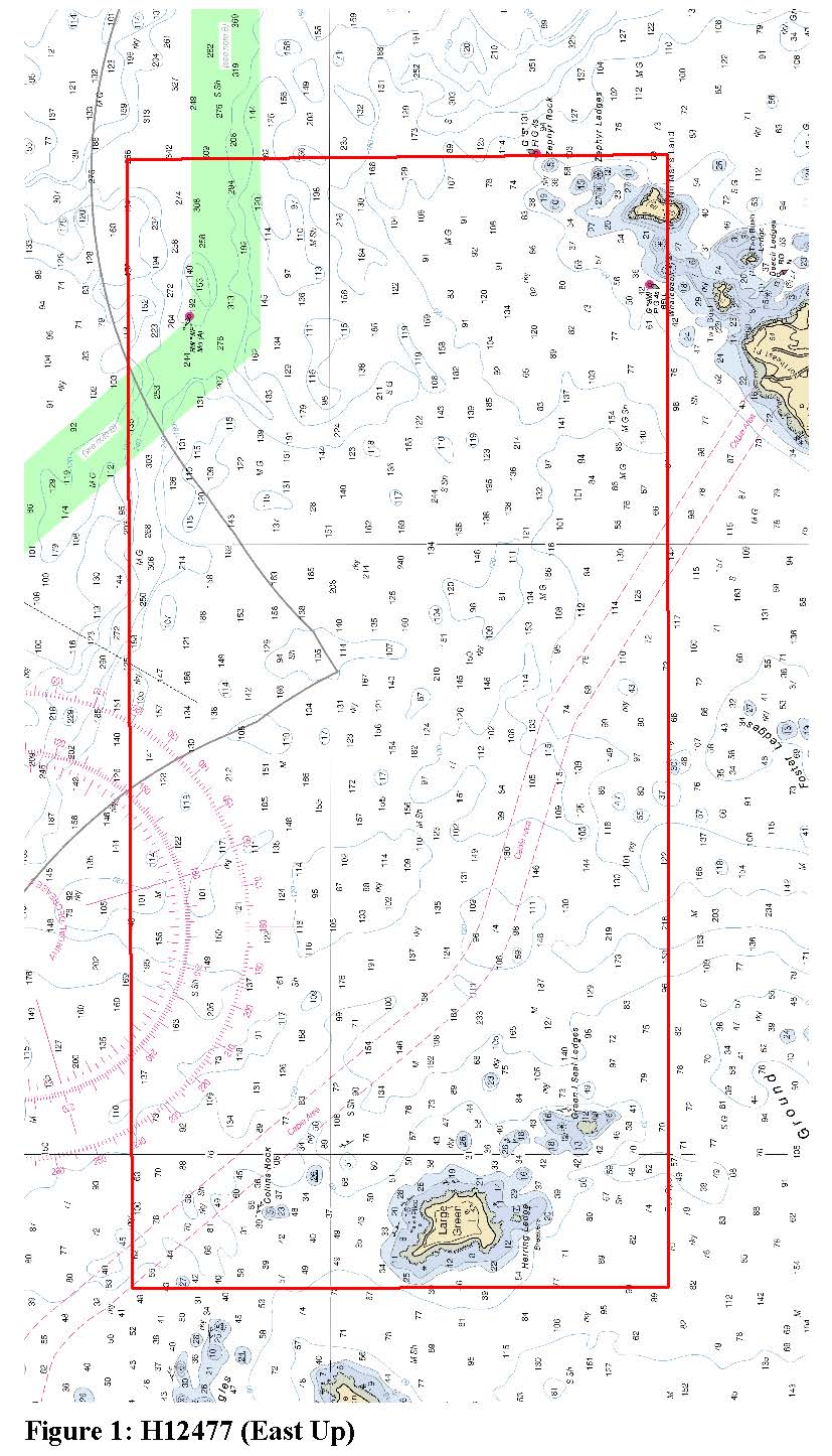
H12477: NOS Hydrographic Survey , South Penobscot Bay, Maiine, 2012-08-20
National Oceanic and Atmospheric Administration, Department of Commerce —
The National Oceanic and Atmospheric Administration (NOAA) has the statutory mandate to collect hydrographic data in support of nautical chart compilation for safe... -
Federal
National Ocean Service (NOS) Cartographic Codes for Bottom Character in the Gulf of Maine region (NOSGOM shapefile)
Department of the Interior —
These data were collected by the National Ocean Service (NOS, formerly the U.S. Coast and Geodetic Survey) for the purpose of charting the coastal waters and... -
Federal
W00195: NOS Hydrographic Survey , Outside Source Data Surveys - 2009, 2005-09-15
National Oceanic and Atmospheric Administration, Department of Commerce —
The National Oceanic and Atmospheric Administration (NOAA) has the statutory mandate to collect hydrographic data in support of nautical chart compilation for safe... -
Federal
2022 Cartographic Boundary File (KML), Current State Legislative District-Upper Chamber for Maine, 1:500,000
U.S. Census Bureau, Department of Commerce —
The 2022 cartographic boundary KMLs are simplified representations of selected geographic areas from the U.S. Census Bureau's Master Address File / Topologically... -
Federal
Contractor vertical accuracy checkpoints for 3D Elevation Program digital elevation models in the Northern Gulf of Mexico and Atlantic coastal regions, 2012–2020
Department of the Interior —
Vertical accuracy of elevation data in coastal environments is critical because small variations in elevation can affect an area’s exposure to waves, tides, and... -
Federal
H00819: NOS Hydrographic Survey
National Oceanic and Atmospheric Administration, Department of Commerce —
The National Oceanic and Atmospheric Administration (NOAA) has the statutory mandate to collect hydrographic data in support of nautical chart compilation for safe... -
Federal
J03 Met Buoy Sensor (Cobscook Bay)
National Oceanic and Atmospheric Administration, Department of Commerce —
Ocean observation data from the Northeastern Regional Association of Coastal & Ocean Observing Systems (NERACOOS). The NERACOOS region includes the northeast... -
Federal
LOBO 67 Buoy Ram Island Saco Bay ME
National Oceanic and Atmospheric Administration, Department of Commerce —
Maine EPSCoR SEANET Buoy Network is developing oceanographic models of factors which control the productivity of Maine's coastal waters in three bioregions (southern,... -
Federal
EnviroAtlas - Land Cover in Areas of High Water Accumulation in 2011 for the Conterminous United States
U.S. Environmental Protection Agency —
This EnviroAtlas dataset contains Land Cover data by Wetness Index for each Watershed Boundary Dataset (WBD) 12-Digit Hydrologic Unit Code (HUC-12) of the... -
Federal
H01609: NOS Hydrographic Survey
National Oceanic and Atmospheric Administration, Department of Commerce —
The National Oceanic and Atmospheric Administration (NOAA) has the statutory mandate to collect hydrographic data in support of nautical chart compilation for safe... -
Federal
F01 Met - Meteorology
National Oceanic and Atmospheric Administration, Department of Commerce —
Ocean observation data from the Northeastern Regional Association of Coastal & Ocean Observing Systems (NERACOOS). The NERACOOS region includes the northeast... -
Federal
TEMPESTS NJ102 SBE37 CTD - CINAR
National Oceanic and Atmospheric Administration, Department of Commerce —
CINAR Storm NJ102 CTD Observations -
Federal
TEMPESTS ME198 Water Level - CINAR
National Oceanic and Atmospheric Administration, Department of Commerce —
CINAR Tempests ME198 Water Level Observations -
Federal
TEMPESTS ME305 Waves - CINAR
National Oceanic and Atmospheric Administration, Department of Commerce —
CINAR Storm ME305 Wave Observations -
Federal
D03 Accelerometer Waves
National Oceanic and Atmospheric Administration, Department of Commerce —
Ocean observation data from the Northeastern Regional Association of Coastal & Ocean Observing Systems (NERACOOS). The NERACOOS region includes the northeast... -
Federal
J04 Buoy Water Pressure/CTD (10m,15m) (Machias Bay)
National Oceanic and Atmospheric Administration, Department of Commerce —
Ocean observation data from the Northeastern Regional Association of Coastal & Ocean Observing Systems (NERACOOS). The NERACOOS region includes the northeast... -
Federal
TEMPESTS MA204 CTD - CINAR
National Oceanic and Atmospheric Administration, Department of Commerce —
CINAR Storm MA204 CTD Observations -
Federal
E05 Met Buoy Sensor (E05 Meteorology)
National Oceanic and Atmospheric Administration, Department of Commerce —
Ocean observation data from the Northeastern Regional Association of Coastal & Ocean Observing Systems (NERACOOS). The NERACOOS region includes the northeast... -
Federal
The LakeCat Dataset: Accumulated Attributes for NHDPlusV2 (Version 2.1) Catchments for the Conterminous United States: wdrw_LD
U.S. Environmental Protection Agency —
This dataset represents total fresh surface-water withdrawals in agricultural land (L/day) within individual, local NHDPlusV2 catchments and upstream, contributing... -
Federal
E05 SBE37 CTD Buoy Sensor (2m, 20m)
National Oceanic and Atmospheric Administration, Department of Commerce —
Ocean observation data from the Northeastern Regional Association of Coastal & Ocean Observing Systems (NERACOOS). The NERACOOS region includes the northeast...

Official websites use .gov
A
.gov website belongs to an official government
organization in the United States.
Secure .gov websites use HTTPS
A
lock (
) or https:// means you’ve safely connected to
the .gov website. Share sensitive information only on official,
secure websites.