
-
Federal
MAPSS: Mapped Atmosphere-Plant-Soil System Model, Version 1.0
National Aeronautics and Space Administration —
MAPSS (Mapped Atmosphere-Plant-Soil System) is a landscape to global vegetation distribution model that was developed to simulate the potential biosphere impacts and... -
Federal
Global Maps of Atmospheric Nitrogen Deposition, 1860, 1993, and 2050
National Aeronautics and Space Administration —
This data set provides global gridded estimates of atmospheric deposition of total inorganic nitrogen (N), NHx (NH3 and NH4+), and NOy (all oxidized forms of nitrogen... -
Federal
CALIPSO Lidar Level 3 Stratospheric Aerosol Profiles Standard V1-01
National Aeronautics and Space Administration —
CAL_LID_L3_Stratospheric_APro-Standard-V1-01 is the Cloud-Aerosol Lidar and Infrared Pathfinder Satellite Observation (CALIPSO) Lidar Level 3 Stratospheric Aerosol... -
Federal
TSIS TIM Level 3 Total Solar Irradiance 24-Hour Means V04 (TSIS_TSI_L3_24HR) at GES DISC
National Aeronautics and Space Administration —
Version 04 is the current release of this data product, and supercedes all previous versions. The TSIS TIM Level 3 Total Solar Irradiance (TSI) 24-Hour Means data... -
Federal
LIMS/Nimbus-7 Level 2 Vertical Profiles of O3, NO2, H2O, HNO3, Geopotential Height, and Temperature V006 (LIMSN7L2) at GES DISC
National Aeronautics and Space Administration —
The Limb Infrared Monitor of the Stratosphere (LIMS) version 6 Level-2 data product consists of daily, geolocated, vertical profiles of temperature, geopotential... -
Federal
GPM GROUND VALIDATION MICRO RAIN RADAR (MRR) NASA IFLOODS V1
National Aeronautics and Space Administration —
The GPM Ground Validation Micro Rain Radar (MRR) NASA IFloodS dataset was collected by a Micro Rain Radar (MRR), which is a vertically pointing Doppler radar which... -
Federal
Ocean Surface Current Analyses Real-time (OSCAR) Surface Currents - Final 0.25 Degree (Version 2.0)
National Aeronautics and Space Administration —
Ocean Surface Current Analyses Real-time (OSCAR) is a global surface current database and NASA funded research project. OSCAR ocean mixed layer velocities are... -
Federal
SWOT Simulated Level-2 Nadir SSH from MITgcm ECCO LLC4320 for Cal/Val Version 1
National Aeronautics and Space Administration —
This dataset provides simulated sea surface height (SSH) in a format similar to the future SWOT Level 2 (L2) altimetry data stream from the Poseidon 3C nadir... -
Federal
CERES and GEO-Enhanced TOA, Within-Atmosphere and Surface Fluxes, Clouds and Aerosols Monthly-Averaged 1-Hourly Terra Edition4A
National Aeronautics and Space Administration —
CER_SYN1deg-MHour_Terra-MODIS_Edition4A is the Clouds and the Earth's Radiant Energy System (CERES) and geostationary (GEO)-Enhanced Top-of-Atmosphere (TOA), Within-... -
Federal
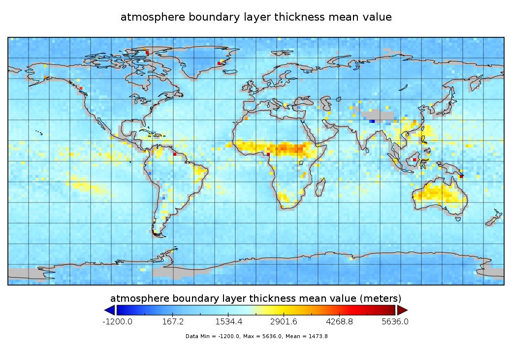
GPS Radio Occultation Boundary Layer Depth Seasonal L3 V2 (GPSROZPBLS) at GES DISC
National Aeronautics and Space Administration —
This dataset provides a seasonal average climatology of global planetary boundary layer (PBL) height derived from COSMIC/FORMOSAT-3, TerraSAR-X, KOMPSAT-5, and PAZ... -
Federal
GNSS GLONASS Combined Broadcast Ephemeris Data (30-second sampling, daily files) from NASA CDDIS
National Aeronautics and Space Administration —
This dataset consists of ground-based Global Navigation Satellite System (GNSS) GLObal NAvigation Satellite System (GLONASS) Broadcast Ephemeris Data (hourly files)... -
Federal
ISLSCP II Globalview: Atmospheric CO2 Concentrations
National Aeronautics and Space Administration —
The GlobalView Carbon Dioxide (CO2) data product contains synchronized and smoothed time series of atmospheric CO2 concentrations at selected sites that were created... -
Federal
NACP Integrated Wildland and Cropland 30-m Fuel Characteristics Map, U.S.A., 2010
National Aeronautics and Space Administration —
The data set provides a 30-m comprehensive fuelbed characteristics map for both the wildland and cropland areas of the conterminous United States (CONUS) for 2010.... -
Federal
BOREAS HYD-03 Snow Temperature Profiles
National Aeronautics and Space Administration —
The BOREAS HYD-03 team collected several data sets related to the hydrology of forested areas. This data set contains measurements of snow depth, snow density in 3-cm... -
Federal
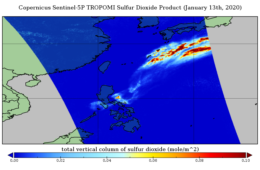
Sentinel-5P TROPOMI Sulphur Dioxide SO2 1-Orbit L2 5.5km x 3.5km V1 (S5P_L2__SO2____HiR) at GES DISC
National Aeronautics and Space Administration —
Starting from August 6th in 2019, Sentinel-5P TROPOMI along-track high spatial resolution (~5.5km at nadir) has been implemented. Starting from July 13th in 2020,... -
Federal
ISLSCP II Ecosystem Rooting Depths
National Aeronautics and Space Administration —
The goal of this study was to predict the global distribution of plant rooting depths based on data about global aboveground vegetation structure and climate.... -
Federal
EPIC-view satellite composites for DSCOVR, Version 1
National Aeronautics and Space Administration —
In DSCOVR_EPIC_L2_composite_01, cloud property retrievals from multiple imagers on low Earth orbit (LEO) satellites (including MODIS, VIIRS, and AVHRR) and... -
Federal
AM Bench 2022 Microstructure Measurements for IN718 3D builds
National Institute of Standards and Technology —
The following data files include microstructure measurement results associated with the 2022 Additive Manufacturing Benchmark test series (AM-Bench 2022) AMB2022-01... -
Federal
Global Landslide Nowcast from LHASA L4 1 day 1 km x 1 km version 1.1 (Global_Landslide_Nowcast) at GES DISC
National Aeronautics and Space Administration —
The Landslide Hazard Assessment for Situational Awareness (LHASA) model identifies locations with high potential for landslide occurrence at a daily temporal...

Official websites use .gov
A
.gov website belongs to an official government
organization in the United States.
Secure .gov websites use HTTPS
A
lock (
) or https:// means you’ve safely connected to
the .gov website. Share sensitive information only on official,
secure websites.