
-
Federal
Artificial gravity partially protects space-induced neurological deficits in Drosophila melanogaster
National Aeronautics and Space Administration —
Spaceflight poses risks to the central nervous system (CNS), and understanding neurological responses is important for future missions. We report CNS changes in... -
Federal
HERITAGE SMC PACS 100 micron Catalog
National Aeronautics and Space Administration —
The HERschel Inventory of The Agents of Galaxy Evolution (HERITAGE) open time key program mapped the Large Magellanic Cloud (LMC) and Small Magellanic Cloud (SMC) at... -
Federal
International Satellite Cloud Climatology Project (ISCCP) TOVS in Native Data Format
National Aeronautics and Space Administration —
ISCCP_TOVS_NAT_1 is the International Satellite Cloud Climatology Project (ISCCP) TIROS Operational Vertical Sounder (TOVS) data set in the Native Data Format. It is... -
Federal
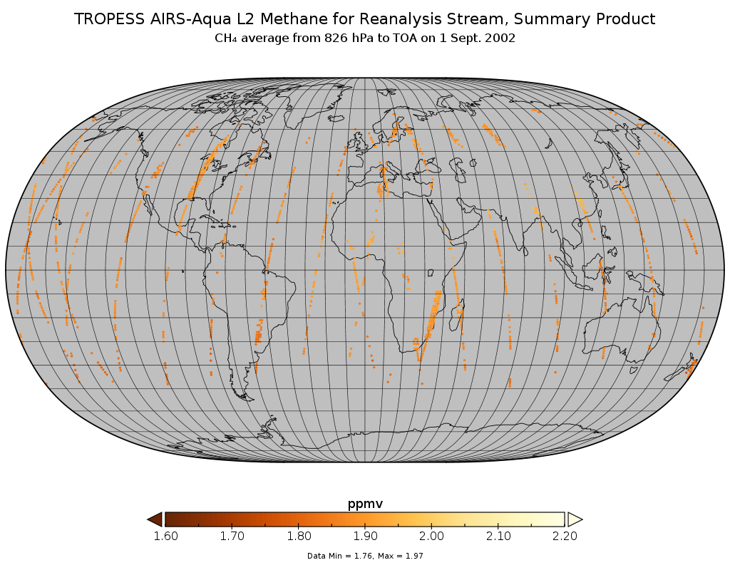
TROPESS AIRS-Aqua L2 Methane for Reanalysis Stream, Summary Product V1 (TRPSYL2CH4AIRSORS) at GES DISC
National Aeronautics and Space Administration —
The TROPESS AIRS-Aqua L2 Methane for Reanalysis Stream, Summary Product contains the vertical distribution of the retrieved atmospheric state of methane (CH4), and... -
Federal
AIRS/Aqua L2 CO2 support retrieval (AIRS-only) V005 (AIRS2SPC) at GES DISC
National Aeronautics and Space Administration —
The Atmospheric Infrared Sounder (AIRS) is a grating spectrometer (R = 1200) aboard the second Earth Observing System (EOS) polar-orbiting platform, EOS Aqua. In... -
Federal
Historic Daily Meteorology Data (FIFE)
National Aeronautics and Space Administration —
The FIFE Historic Daily Meteorology Data Data Set is one of the historical data sets used for the FIFE project. The data set contains data back to January, 1900. This... -
Federal
Visible Infrared Imager-Radiometer Suite NPP Level-2 Normalized Difference Vegetation Index Data Version 2014
National Aeronautics and Space Administration —
Product Title: Visible Infrared Imager-Radiometer Suite NPP Level-2 The Visible and Infrared Imager/Radiometer Suite (VIIRS) is a multi-disciplinaryinstrument that is... -
Federal
HRIR/Nimbus-2 Images of Nighttime Brightness Temperature on 70 mm Film V001 (HRIRN2IM) at GES DISC
National Aeronautics and Space Administration —
HRIRN2IM is the Nimbus-2 High-Resolution Infrared Radiometer (HRIR) data product containing scanned negatives of photofacsimile 70mm film strips. The images contain... -
Federal
High Altitude MMIC Sounding Radiometer (HAMSR) CPEX-AW V1
National Aeronautics and Space Administration —
The High Altitude MMIC Sounding Radiometer (HAMSR) CPEX-AW dataset includes measurements gathered by the HAMSR instrument during the Convective Processes Experiment –... -
Federal
Aboveground Biomass Density for High Latitude Forests from ICESat-2, 2020
National Aeronautics and Space Administration —
This dataset provides estimates of Aboveground dry woody Biomass Density (AGBD) for high northern latitude forests at a 30-m spatial resolution. It is designed both... -
Federal
IMAGE RPI Plasmagram/Echogram Key Parameters
National Aeronautics and Space Administration —
This set of daily plasmagrams/echograms comes from the IMAGE Radio Plasma Imager that studies the Earth's magnetophere in the 3 kHz to 3 MHz frequency range. RPI... -
Federal
MMS 1 Electric Particle Detector, Fly's Eye Energetic Particle Sensor (EPD, FEEPS) Electrons, Level 2 (L2), Burst Mode, 0.3025 s Data
National Aeronautics and Space Administration —
Fly's Eye Electron Proton Spectrometer (FEEPS) Burst Data. The Energetic Particle Detector (EPD) investigation aboard the four MMS spacecraft consists of two... -
Federal
NLDAS Secondary Forcing Data L4 Monthly Climatology 0.125 x 0.125 degree V2.0 (NLDAS_FORB0125_MC) at GES DISC
National Aeronautics and Space Administration —
This data set contains the monthly climatology (MC) data of the secondary forcing data for Phase 2 of the North American Land Data Assimilation System (NLDAS-2). The... -
Federal
Phobos 2 Ephemeris, Heliocentric Trajectories, Heliographic, Heliographic Inertial, and Solar Ecliptic Coordinates, HelioWeb, Daily Data
National Aeronautics and Space Administration —
Heliocentric trajectories for Phobos 2 in Heliographic, HG, Heliographic Inertial, HGI, and Solar Ecliptic, SE, Coordinates\n\nThe original trajectory data are taken... -
Federal
Aqua MODIS Level-3 Global Mapped 11µm Daytime Sea Surface Temperature (SST) Data, version R2019.0
National Aeronautics and Space Administration —
MODIS (or Moderate-Resolution Imaging Spectroradiometer) is a key instrument aboard the Terra (EOS AM) and Aqua (EOS PM) satellites. Terra's orbit around the Earth is... -
Federal
KECK II ESI IMAGES OF 81P/WILD 2
National Aeronautics and Space Administration —
CCD images of comet 81P/Wild 2 taken 2003 December 19-21 UT with the ESI instrument on Keck II in support of the Stardust encounter. -
Federal
Aqua MODIS Level-3 Global Mapped 11µm Day/Night Sea Surface Temperature (SST) - Near Real-time (NRT) Data, version R2019.0
National Aeronautics and Space Administration —
The Ocean Biology DAAC produces near real-time (quicklook) products using the best-available combination of ancillary data from meteorological and ozone data. As... -
Federal
Aqua MODIS Level-3 Global Binned 4µm Nighttime Sea Surface Temperature (SST4) Data, version R2019.0
National Aeronautics and Space Administration —
MODIS (or Moderate-Resolution Imaging Spectroradiometer) is a key instrument aboard the Terra (EOS AM) and Aqua (EOS PM) satellites. Terra's orbit around the Earth is... -
Federal
PS1DR2 Cone (PanSTARRS 1 DR 2 Catalog ConeSearch)
National Aeronautics and Space Administration —
All MAST catalog holdings are available via Cone Search endpoints. \nThis service provides access to the PanSTARRS 1 DR2 catalog.\n\nAll available missions are listed...

Official websites use .gov
A
.gov website belongs to an official government
organization in the United States.
Secure .gov websites use HTTPS
A
lock (
) or https:// means you’ve safely connected to
the .gov website. Share sensitive information only on official,
secure websites.