
-
Federal
IBEX Low Energy Neutral Atom Imager (Lo) Data Release 17, Compton-Getting corrected, Survival Probability corrected, Omnidirectional, West Longitude Ecliptic Maps, Level H3 (H3), annually averaged Data
National Aeronautics and Space Administration —
- 1: The Interstellar Boundary Explorer (IBEX) has operated in space since 2008 updating our knowledge of the outer heliosphere and its interaction with the...
-
Federal
Fire Particulate Emissions from Combined VIIRS and AHI Data for Indonesia, 2015-2020
National Aeronautics and Space Administration —
This dataset provides 10-minute fire emissions within 0.1-degree regularly spaced intervals across Indonesia from July 2015 to December 2020. The dataset was produced... -
Federal
SOHO LASCO C2 Level 0.5 FITS Data
National Aeronautics and Space Administration —
The LASCO C2 Raw FITS Data. \n\nLASCO (Large Angle Spectroscopic Coronagraph) is comprised of three nested coronagraphs (C1, C2, and C3) that image the solar corona... -
Federal
Arctic Alaska Vegetation, Geobotanical, Physiographic Maps, 1993-2005
National Aeronautics and Space Administration —
This data set provides the spatial distributions of vegetation types, geobotanical characteristics, and physiographic features for the Arctic tundra region of Alaska... -
Federal
Brookhaven National Laboratory (BNL) measurements near the Bahamas in 1998
National Aeronautics and Space Administration —
Measurements made near the Bahamas during 1998 by the Brookhaven National Laboratory (BNL). -
Federal
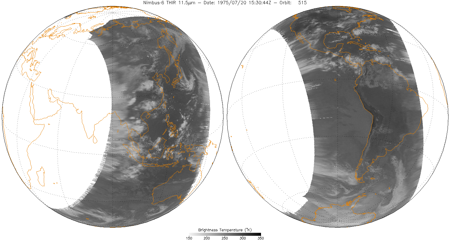
THIR/Nimbus-6 Level 1 Meteorological Radiation Data at 11.5 microns V001 (THIRN6L1CH115) at GES DISC
National Aeronautics and Space Administration —
THIRN6L1CH115 is the Nimbus-6 Temperature-Humidity Infrared Radiometer (THIR) Level 1 Meteorological Radiation Data at 11.5 microns product and contains radiances... -
Federal
NLDAS Secondary Forcing Data L4 Hourly 0.125 x 0.125 degree V2.0 (NLDAS_FORB0125_H) at GES DISC
National Aeronautics and Space Administration —
This data set contains the secondary forcing hourly data "File B" for Phase 2 of the North American Land Data Assimilation System (NLDAS-2). The data are in 1/8th... -
Federal
VIIRS/NPP BRDF/Albedo Parameter 2 Band M4 Daily L3 Global 30 ArcSec CMG V002
National Aeronautics and Space Administration —
The NASA/NOAA Suomi National Polar-orbiting Partnership (Suomi NPP) Visible Infrared Imaging Radiometer Suite (VIIRS) Bidirectional Reflectance Distribution Function... -
Federal
GPM GROUND VALIDATION FLIGHT SUMMARIES AND FLIGHT TRACKS IMAGERY MC3E V1
National Aeronautics and Space Administration —
The GPM Ground Validation Flight Summaries and Flight Tracks Imagery MC3E dataset for the Midlatitude Continental Convective Clouds Experiment (MC3E) provides... -
Federal
GPM Ground Validation Kumpula Mast Meteorological Data LPVEx V1
National Aeronautics and Space Administration —
The GPM Ground Validation Kumpula Mast Meteorological Data LPVEx dataset is comprised of temperature, radiation, and wind measurements collected by the Station for... -
Federal
MODIS/Aqua Aerosol 5-Min L2 Swath Subset 10km along MLS V002 (MAM04S0) at GES DISC
National Aeronautics and Space Administration —
This is the MODIS/Aqua subset along MLS field of view track. The goal of the subset is to select and return MODIS data that are within +-100 km across the MLS track.... -
Federal
SARP 2017 Data
National Aeronautics and Space Administration —
SARP_2017_Data is the data collected onboard the Wallops C-23 aircraft during the 2017 deployment of the Student Airborne Research Program (SARP) mission. Data... -
Federal
GPM GROUND VALIDATION NASA S-BAND DUAL POLARIMETRIC (NPOL) DOPPLER RADAR IFLOODS
National Aeronautics and Space Administration —
The GPM Ground Validation NASA S-Band Dual Polarimetric (NPOL) Doppler Radar IFloodS dataset was collected from April 30 to June 16, 2013 near Traer, Iowa as part of... -
Federal
VIIRS/NPP BRDF/Albedo WSA at Solar Noon Band M10 Daily L3 Global 30ArcSec CMG V001
National Aeronautics and Space Administration —
The VNP43D74 Version 1 data product was decommissioned on July 31, 2025. Users are encouraged to use theFederalCAMEX-4 TOGA RADAR V1
National Aeronautics and Space Administration —
The TOGA radar dataset consists of browse and radar data collected from the TOGA radar during the CAMEX-4 experiment. TOGA is a C-band linear polarized doppler radar...FederalBARREL 2T X-ray Spectrometer (SSPC) Bremsstrahlung X-ray Spectrum Slow Time Resolution, Level 2, 32 s Data
National Aeronautics and Space Administration —
SSPC: 256 channels of slow time resolution, 32 s, Bremsstrahlung X-ray spectra detected with a NaI Scintillator. The nominal energy range covered by the 256 channels...FederalBOREAS HYD-08 1994 Gravimetric Moss Moisture Data
National Aeronautics and Space Administration —
The BOREAS HYD-08 team made measurements of surface hydrological processes that were collected at the NSA OBS Tower Flux site in 1994 and at Joey Lake, Manitoba, to...FederalMODIS/Terra Thermal Anomalies/Fire 5-Min L2 Swath 1km V061
National Aeronautics and Space Administration —
The Moderate Resolution Imaging Spectroradiometer (MODIS) Thermal Anomalies and Fire MOD14 Version 6.1 product is produced daily in 5-minute temporal satellite...FederalLISTOS Westport Ground Site Data
National Aeronautics and Space Administration —
LISTOS_Ground_Westport_Data is the Long Island Sound Tropospheric Ozone Study (LISTOS) Wesport ground site data collected during the LISTOS field campaign. This...13,081 datasets found

Official websites use .gov
A
.gov website belongs to an official government
organization in the United States.
Secure .gov websites use HTTPS
A
lock (
) or https:// means you’ve safely connected to
the .gov website. Share sensitive information only on official,
secure websites.