

119 datasets found
-
Federal
Nimbus Image Dissector Camera System Remapped Visible Imagery Daily L3, GeoTIFF V001
National Aeronautics and Space Administration —
This data set (NmIDCS3G) consists of daily, global image composites constructed from Nimbus 3 and Nimbus 4 Image Dissector Camera System (IDCS) imagery for the region... -
Federal
TRMM Attitude and VIRS Packets and Header Record L1A V7 (TRMM_1A01) at GES DISC
National Aeronautics and Space Administration —
The Level-1A Product file, "1A01", is a concatenation of Header record, Spacecraft Attitude packets, VIRS Housekeeping Data packets, VIRS Science Data packets, QACs,... -
Federal
SnowEx17 Cloud Absorption Radiometer BRDF V001
National Aeronautics and Space Administration —
This data set contains measurements of the bidirectional reflectance distribution function (BRDF) for two locations in Colorado, USA: Grand Mesa, a snow-covered,... -
Federal
THe Observing-system Research and predictability experiment ER2 MODIS Airborne Simmulator
National Aeronautics and Space Administration —
THORPEX_ER2_MAS data are THe Observing-system Research and Predictability EXperiment (THORPEX) ER_2 MODIS Airborne Simulator (MAS) Data in HDF covering Hawaii and the... -
Federal
TRMM Attitude and VIRS Packets and Header Record L1A V7 (TRMM_1A01) at GES DISC
National Aeronautics and Space Administration —
The Level-1A Product file, "1A01", is a concatenation of Header record, Spacecraft Attitude packets, VIRS Housekeeping Data packets, VIRS Science Data packets, QACs,... -
Federal
CERES Bidirectional Scans Terra FM2 Edition1-CV
National Aeronautics and Space Administration —
CER_BDS_Terra-FM2_Edition1-CV is the Clouds and the Earth's Radiant Energy System (CERES) Bidirectional Scans (BDS) Terra Flight Model 2 (FM2) Edition1-CV data... -
Federal
Tri-Decadal Global Landsat Orthorectified ETM+ Single Scene: 1999-2003
Department of the Interior —
'The USGS Earth Resources Observation and Science (EROS) Center archive holds data collected by the Landsat suite of satellites, beginning with Landsat 1 in 1972. All... -
Federal
U.S. Landsat 4-8 Analysis Ready Data (ARD) Level-2 Tiles (Albers projection)
Department of the Interior —
The Analysis Ready Data (ARD) Landsat Level-2 Tiles consist of surface reflectance (SR), surface temperature (ST), top of atmosphere (TA) reflectance, brightness... -
Federal
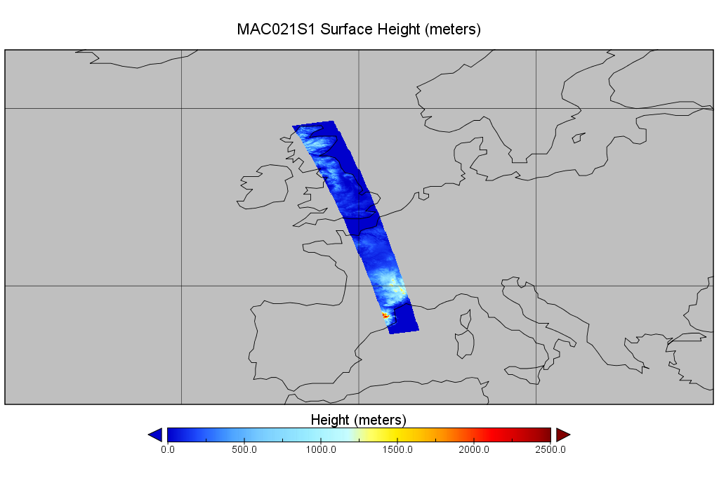
MODIS/Aqua Calibrated Radiances 1km 5-Min 1B Wide Swath Subset along CloudSat V002 (MAC021S1) at GES DISC NGDA
National Aeronautics and Space Administration —
This is the wide-swath MODIS/Aqua subset along CloudSat field of view track. The goal of the wide-swath subset is to select and return MODIS data that are within... -
Federal
Landsat 1-5 Multispectral Scanner Collection 1 Level-1
Department of the Interior —
The USGS Earth Resources Observation and Science (EROS) Center archive holds data collected by the Landsat suite of satellites, beginning with Landsat 1 in 1972. All... -
Federal
MODIS/Terra Raw Radiances in Counts 5-Min L1A Swath NGDA
National Aeronautics and Space Administration —
The MODIS/Terra Raw Radiances in Counts 5-Min L1A Swath product (MOD01) containing reformatted and packaged raw instrument data. MODIS instrument data, in packetized... -
Federal
Global Land Survey
Department of the Interior —
'The Global Land Survey (GLS) datasets are a collection of orthorectified, cloud-minimized Landsat-type satellite images, providing near complete coverage of the... -
Federal
Nimbus Image Dissector Camera System Remapped Visible Imagery Daily L3, HDF5 V001
National Aeronautics and Space Administration —
This data set (NmIDCS3H) consists of daily, global image composites constructed from Nimbus 3 and Nimbus 4 Image Dissector Camera System (IDCS) imagery captured from... -
Federal
ICESat-2 Calibration/Validation LVIS L1B Georeferenced Imagery V001
National Aeronautics and Space Administration —
This data set contains georeferenced imagery from the NASA Land, Vegetation, and Ice Sensor (LVIS) PhaseOne medium-format camera, which was operated on high-altitude... -
Federal
OLCI+SLSTR/Sentinel-3B L2 Surface Reflectance and Aerosol parameters over Land
National Aeronautics and Space Administration —
The OLCI+SLSTR/Sentinel-3B L2 Surface Reflectance and Aerosol parameters over Land product with shortname S3A_SY_2_SYN, is generated by combining data acquired by the... -
Federal
JPSS-2 CrIS IMG_COL: Array indices for collocated VIIRS observations V3.0 (SNDRJ2CrISL1BIMGC) at GES DISC
National Aeronautics and Space Administration —
The Cross-track Infrared Sounder (CrIS) Level 1B Full Spectral Resolution (FSR) data files contain radiance measurements along with ancillary spacecraft, instrument,... -
Federal
CERES Bidirectional Scans NPP FM5 Edition1-CV
National Aeronautics and Space Administration —
CER_BDS_NPP-FM5_Edition1-CV is the Clouds and the Earth's Radiant Energy System (CERES) Bidirectional Scans (BDS) Suomi National Polar-orbiting Partnership (NPP)...
119 datasets found