
-
Federal
IMP 8 MIT 1-hour plasma data
National Aeronautics and Space Administration —
IMP 8 MIT solar wind plasma parameters, hourly averages -
Federal
IMP 8 LANL 2-min plasma data
National Aeronautics and Space Administration —
IMP 8 LANL 2-min solar wind plasma parameters -
Federal
IMP 8 Spacecraft Positions
National Aeronautics and Space Administration —
IMP-8 spacecraft positions in various coordinate systems -
Federal
CAMEX-4 AMPR BRIGHTNESS TEMPERATURE (TB) V1
National Aeronautics and Space Administration —
The CAMEX-4 AMPR Brightness Temperature (TB) dataset was collected by the Advanced Microwave Precipitation Radiometer (AMPR), which was deployed during the Fourth... -
Federal
TROPESS Chemical Reanalysis CH2O Monthly 3-dimensional Product V1 (TRPSCRCH2OM3D) at GES DISC
National Aeronautics and Space Administration —
The TROPESS Chemical Reanalysis CH2O Monthly 3-dimensional Product contains vertical concentrations of formaldehyde. The data are part of the Tropospheric Chemical... -
Federal
TROPICS03 L2B Deep Multispectral INtensity (DMIN) of Tropical cyclones estimator Algorithm V1.0
National Aeronautics and Space Administration —
The "Time-Resolved Observations of Precipitation structure and storm Intensity with a Constellation of Smallsats" (TROPICS) mission has a goal of providing nearly... -
Federal
TROPESS Chemical Reanalysis SO2 Monthly 3-dimensional Product V1 (TRPSCRSO2M3D) at GES DISC
National Aeronautics and Space Administration —
The TROPESS Chemical Reanalysis SO2 Monthly 3-dimensional Product contains vertical concentrations of sulfur dioxide. The data are part of the Tropospheric Chemical... -
Federal
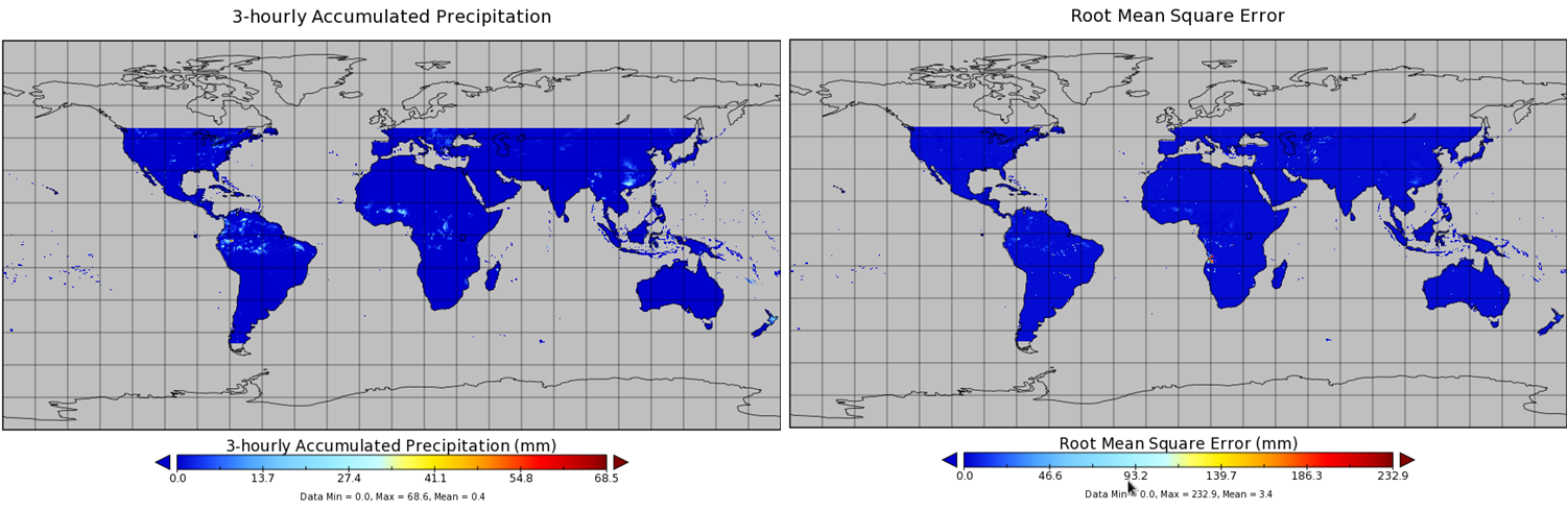
TMI/TRMM precipitation and uncertainty (TMPA) L3 3 hour 0.25 degree x 0.25 degree V001 (WC_MULTISEN_PREC_025) at GES DISC
National Aeronautics and Space Administration —
TMI/TRMM precipitation and uncertainty (TMPA) L3 3 hour 0.25 degree x 0.25 degree V001 provides estimates of accumulated precipitation from the Tropical Rainfall... -
Federal
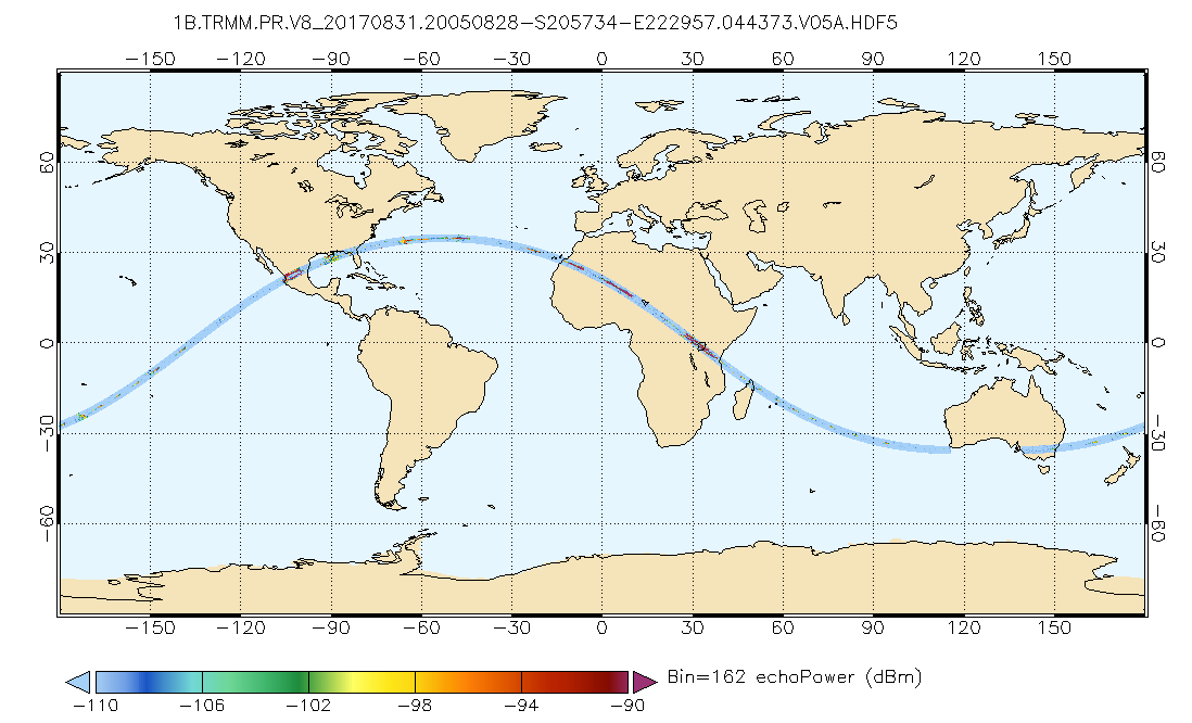
GPM PR on TRMM Echo Power L1B 1.5 hours 5 km V07 (GPM_1BPR) at GES DISC
National Aeronautics and Space Administration —
This is the new (GPM-formated) TRMM product. It replaces the old TRMM_1B21,1C21 Version 07 is the current version of the data set. Previous versions have been... -
Federal
First ISCCP Regional Experiment (FIRE) Atlantic Stratocumulus Transition Experiment (ASTEX) Rawinsonde Level 1 Data
National Aeronautics and Space Administration —
The First ISCCP Regional Experiments (FIRE) have been designed to improve data products and cloud/radiation parameterizations used in general circulation models... -
Federal
First ISCCP Regional Experiment (FIRE) Arctic Cloud Experiment (ACE) CV580 Aircraft G-Meter Data
National Aeronautics and Space Administration —
This data set consists of light scattering measurements provided by the 4-channel nephelometer g-meter instrument flown onboard the University of Washington's CV580... -
Federal
BARREL 4D X-ray Spectrometer (MSPC) Bremsstrahlung X-ray Spectrum Medium Time Resolution, Level 2, 4 s Data
National Aeronautics and Space Administration —
MSPC: 48 channels of medium time resolution, 4 s, Bremsstrahlung X-ray spectra detected with a NaI Scintillator. The nominal energy range covered by the 48 channels... -
Federal
AIRS/Aqua L3 8-day CO2 in the free troposphere (AIRS+AMSU) 2.5 degrees x 2 degrees V005 (AIRX3C28) at GES DISC
National Aeronautics and Space Administration —
Atmospheric Infrared Sounder (AIRS) is a grating spectrometer (R = 1200) aboard the second Earth Observing System (EOS) polar-orbiting platform, EOS Aqua. In... -
Federal
Multibeam collection for NBP0709: Multibeam data collected aboard Nathaniel B. Palmer from 28-Sep-07 to 29-Oct-07, Punta Arenas, Chile to Punta Arenas, Chile
National Oceanic and Atmospheric Administration, Department of Commerce —
This data set is part of a larger set of data called the Multibeam Bathymetry Database (MBBDB) where other similar data can be found -
Federal
Chirp Subbottom Profiler Data Collected in Pamlico Sound on Cruise RVRiggs_10_12_2012 of RV Riggs for the Coastal Hydrodynamics and Natural Geologic Evolution (CHaNGE) Project
National Oceanic and Atmospheric Administration, Department of Commerce —
Edgetech 216 chirp data (SEG-Y format) collected for the Coastal Hydrodynamics and Natural Geologic Evolution (CHaNGE) project, OCE-1130843. Survey area covers... -
Federal
H11917: NOS Hydrographic Survey , Chatham Strait, Alaska, 2008-06-17
National Oceanic and Atmospheric Administration, Department of Commerce —
The National Oceanic and Atmospheric Administration (NOAA) has the statutory mandate to collect hydrographic data in support of nautical chart compilation for safe... -
Federal
H10036: NOS Hydrographic Survey , Lake Superior, 1982-10-15
National Oceanic and Atmospheric Administration, Department of Commerce —
The National Oceanic and Atmospheric Administration (NOAA) has the statutory mandate to collect hydrographic data in support of nautical chart compilation for safe... -
Federal
H11219: NOS Hydrographic Survey , Brunswick, Georgia to Jacksonville, Florida, 2004-04-21
National Oceanic and Atmospheric Administration, Department of Commerce —
The National Oceanic and Atmospheric Administration (NOAA) has the statutory mandate to collect hydrographic data in support of nautical chart compilation for safe... -
Federal
H11260: NOS Hydrographic Survey , Southwest Alaska Peninsula, Alaska, 2004-09-04
National Oceanic and Atmospheric Administration, Department of Commerce —
The National Oceanic and Atmospheric Administration (NOAA) has the statutory mandate to collect hydrographic data in support of nautical chart compilation for safe... -
Federal
H11435: NOS Hydrographic Survey , Shumagin Islands, Alaska, 2005-08-12
National Oceanic and Atmospheric Administration, Department of Commerce —
The National Oceanic and Atmospheric Administration (NOAA) has the statutory mandate to collect hydrographic data in support of nautical chart compilation for safe...

Official websites use .gov
A
.gov website belongs to an official government
organization in the United States.
Secure .gov websites use HTTPS
A
lock (
) or https:// means you’ve safely connected to
the .gov website. Share sensitive information only on official,
secure websites.