

119 datasets found
-
Federal
Nimbus Image Dissector Camera System Visible Imagery L1, HDF5 V001
National Aeronautics and Space Administration —
The Nimbus Image Dissector Camera System Visible Imagery L1, HDF5 (NmIDCS1H) data set consists of black-and-white images captured by the Image Dissector Camera... -
Federal
Aircraft Scanners
National Aeronautics and Space Administration —
The National Aeronautics and Space Administration (NASA) Aircraft Scanners data set contains digital imagery acquired from several multispectral scanners, including... -
Federal
Reduced-Resolution QuickBird Imagery and Related GIS Layers for Barrow, Alaska, USA, Version 1
National Aeronautics and Space Administration —
This data set contains reduced-resolution QuickBird imagery and geospatial data for the entire Barrow QuickBird image area 156.15° W - 157.07° W, 71.15° N - 71.41° N)... -
Federal
Tri-Decadal Global Landsat Orthorectified MSS 1-5 Single Scene: 1972-1987
Department of the Interior —
'The USGS Earth Resources Observation and Science (EROS) Center archive holds data collected by the Landsat suite of satellites, beginning with Landsat 1 in 1972. All... -
Federal
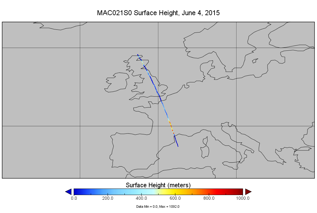
MODIS/Aqua Calibrated Radiances 1km 5-Min 1B Narrow Swath Subset along CloudSat V002 (MAC021S0) at GES DISC NGDA
National Aeronautics and Space Administration —
This is the narrow-swath MODIS/Aqua subset along CloudSat field of view track. The goal of the narrow-swath subset is to select and return MODIS data that are within... -
Federal
Aerial Photographs (from AMES Pilot Land Data System); USGS EDC, Sioux Falls
National Aeronautics and Space Administration —
The aerial photography inventoried by the Pilot Land Data System (PLDS) at NASA AMES Research Center has been transferred to the USGS EROS Data Center. The photos... -
Federal
NOAA-20 VIIRS Level-4 Global Binned Apparent Visible Wavelength (AVW) Data, version 2022.0
National Aeronautics and Space Administration —
The Visible and Infrared Imager/Radiometer Suite (VIIRS) is a multi-disciplinary instrument that is being flown on the Joint Polar Satellite System (JPSS) series of... -
Federal
Sentinel-3B OLCI Level-4 Global Mapped Apparent Visible Wavelength (AVW) Data, version 2022.0
National Aeronautics and Space Administration —
The Ocean and Land Colour Instrument (OLCI) is the successor to ENVISAT's Medium Resolution Imaging Spectrometer (MERIS) having additional spectral channels,... -
Federal
Nimbus Advanced Vidicon Camera System Remapped Visible Imagery Daily L3, GeoTIFF V001
National Aeronautics and Space Administration —
This data set (NmAVCS3G) consists of daily image composites constructed from Nimbus 1 (1964) and Nimbus 2 (1966) Advanced Vidicon Camera System (AVCS) imagery for the... -
Federal
Nimbus Advanced Vidicon Camera System Remapped Visible Imagery Daily L3, HDF5 V001
National Aeronautics and Space Administration —
This data set (NmAVCS3H) consists of daily, global image composites constructed from Nimbus 1 (1964) and Nimbus 2 (1966) Advanced Vidicon Camera System (AVCS)... -
Federal
Tri-Decadal Global Landsat Orthorectified Enhanced ETM+ Pan-sharpened Single Scene: 1999-2003
Department of the Interior —
'The USGS Earth Resources Observation and Science (EROS) Center archive holds data collected by the Landsat suite of satellites, beginning with Landsat 1 in 1972. All... -
Federal
Sentinel-3B OLCI Level-4 Global Binned Apparent Visible Wavelength (AVW) Data, version 2022.0
National Aeronautics and Space Administration —
The Ocean and Land Colour Instrument (OLCI) is the successor to ENVISAT's Medium Resolution Imaging Spectrometer (MERIS) having additional spectral channels,... -
Federal
SLSTR/Sentinel-3B L1 Full Resolution Top of Atmosphere Radiances and Brightness Temperature
National Aeronautics and Space Administration —
The SLSTR/Sentinel-3B L1 Full Resolution Top of Atmosphere Radiances and Brightness Temperature product with shortname S3B_SL_1_RBT, is generated from the data... -
Federal
CERES Bidirectional Scans Terra FM1 Edition1-CV
National Aeronautics and Space Administration —
CER_BDS_Terra-FM1_Edition1-CVis the Clouds and the Earth's Radiant Energy System (CERES) Bidirectional Scans (BDS) Terra Flight Model 1 (FM1) Edition1-CV data... -
Federal
Landsat 7 Enhanced Thematic Mapper Plus Collection 2 Level-2
Department of the Interior —
'The USGS Earth Resources Observation and Science (EROS) Center archive holds data collected by the Landsat suite of satellites, beginning with Landsat 1 in 1972...
119 datasets found