
-
Federal
RADARSAT-1 Level 0 Product
National Aeronautics and Space Administration —
RADARSAT-1 Level 0 -
Federal
MetOp-A ASCAT Level 2 25.0 km Ocean Surface Wind Vectors
National Aeronautics and Space Administration —
This dataset contains operational near-real-time Level 2 ocean surface wind vector retrievals from the Advanced Scatterometer (ASCAT) on MetOp-A at 25 km sampling... -
Federal
MODIS/Terra Gap-Filled, Smoothed NDVI 8-Day L4 500m SIN Grid
National Aeronautics and Space Administration —
The MODIS/Terra Gap-Filled, Smoothed NDVI 8-Day L4 500m SIN Grid product, with short-name MOD09A1G_NDVI is calculated from MODIS surface reflectance products (MOD09),... -
Federal
Glacier Inventory of West Greenland, 1948 - 1985, Version 1
National Aeronautics and Space Administration —
The inventory includes 5,297 Glaciers from west Greenland between 59 to 71 degrees latitude north and 43 to 53 degrees longitude west. The glacier data basin division... -
Federal
International Satellite Cloud Climatology Project (ISCCP) TOVS in Native Data Format
National Aeronautics and Space Administration —
ISCCP_TOVS_NAT_1 is the International Satellite Cloud Climatology Project (ISCCP) TIROS Operational Vertical Sounder (TOVS) data set in the Native Data Format. It is... -
Federal
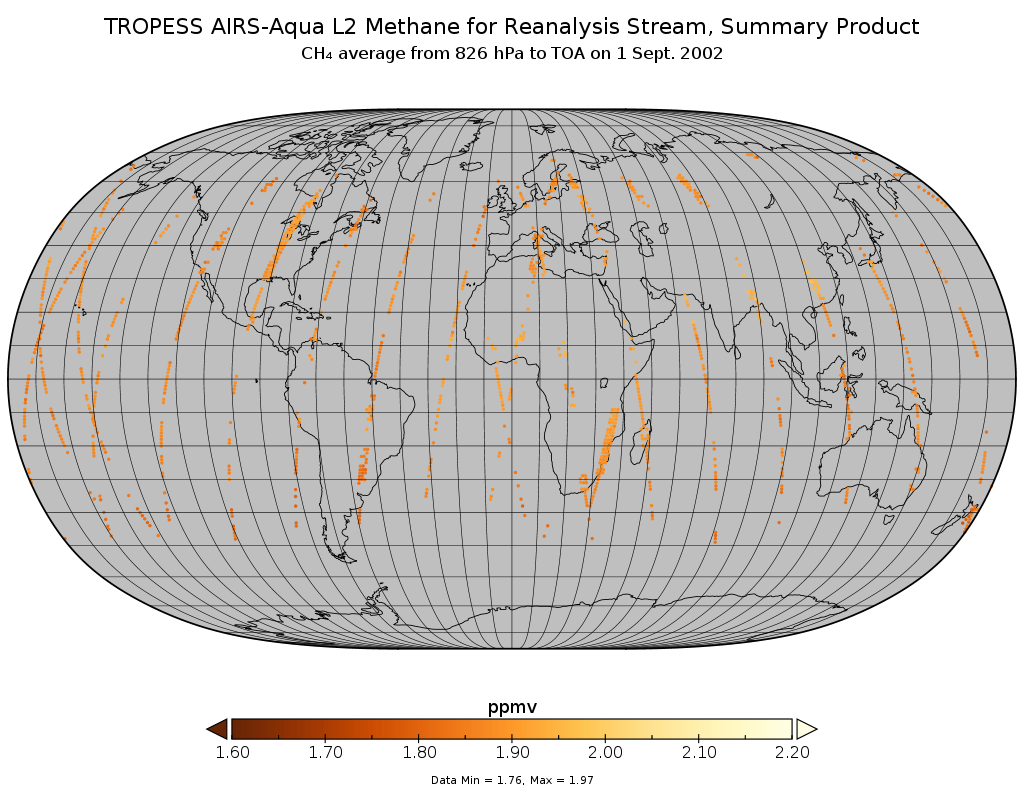
TROPESS AIRS-Aqua L2 Methane for Reanalysis Stream, Summary Product V1 (TRPSYL2CH4AIRSORS) at GES DISC
National Aeronautics and Space Administration —
The TROPESS AIRS-Aqua L2 Methane for Reanalysis Stream, Summary Product contains the vertical distribution of the retrieved atmospheric state of methane (CH4), and... -
Federal
AIRS/Aqua L2 CO2 support retrieval (AIRS-only) V005 (AIRS2SPC) at GES DISC
National Aeronautics and Space Administration —
The Atmospheric Infrared Sounder (AIRS) is a grating spectrometer (R = 1200) aboard the second Earth Observing System (EOS) polar-orbiting platform, EOS Aqua. In... -
Federal
Historic Daily Meteorology Data (FIFE)
National Aeronautics and Space Administration —
The FIFE Historic Daily Meteorology Data Data Set is one of the historical data sets used for the FIFE project. The data set contains data back to January, 1900. This... -
Federal
Visible Infrared Imager-Radiometer Suite NPP Level-2 Normalized Difference Vegetation Index Data Version 2014
National Aeronautics and Space Administration —
Product Title: Visible Infrared Imager-Radiometer Suite NPP Level-2 The Visible and Infrared Imager/Radiometer Suite (VIIRS) is a multi-disciplinaryinstrument that is... -
Federal
HRIR/Nimbus-2 Images of Nighttime Brightness Temperature on 70 mm Film V001 (HRIRN2IM) at GES DISC
National Aeronautics and Space Administration —
HRIRN2IM is the Nimbus-2 High-Resolution Infrared Radiometer (HRIR) data product containing scanned negatives of photofacsimile 70mm film strips. The images contain... -
Federal
High Altitude MMIC Sounding Radiometer (HAMSR) CPEX-AW V1
National Aeronautics and Space Administration —
The High Altitude MMIC Sounding Radiometer (HAMSR) CPEX-AW dataset includes measurements gathered by the HAMSR instrument during the Convective Processes Experiment –... -
Federal
Aboveground Biomass Density for High Latitude Forests from ICESat-2, 2020
National Aeronautics and Space Administration —
This dataset provides estimates of Aboveground dry woody Biomass Density (AGBD) for high northern latitude forests at a 30-m spatial resolution. It is designed both... -
Federal
NLDAS Secondary Forcing Data L4 Monthly Climatology 0.125 x 0.125 degree V2.0 (NLDAS_FORB0125_MC) at GES DISC
National Aeronautics and Space Administration —
This data set contains the monthly climatology (MC) data of the secondary forcing data for Phase 2 of the North American Land Data Assimilation System (NLDAS-2). The... -
Federal
Aqua MODIS Level-3 Global Mapped 11µm Daytime Sea Surface Temperature (SST) Data, version R2019.0
National Aeronautics and Space Administration —
MODIS (or Moderate-Resolution Imaging Spectroradiometer) is a key instrument aboard the Terra (EOS AM) and Aqua (EOS PM) satellites. Terra's orbit around the Earth is... -
Federal
Aqua MODIS Level-3 Global Mapped 11µm Day/Night Sea Surface Temperature (SST) - Near Real-time (NRT) Data, version R2019.0
National Aeronautics and Space Administration —
The Ocean Biology DAAC produces near real-time (quicklook) products using the best-available combination of ancillary data from meteorological and ozone data. As... -
Federal
Aqua MODIS Level-3 Global Binned 4µm Nighttime Sea Surface Temperature (SST4) Data, version R2019.0
National Aeronautics and Space Administration —
MODIS (or Moderate-Resolution Imaging Spectroradiometer) is a key instrument aboard the Terra (EOS AM) and Aqua (EOS PM) satellites. Terra's orbit around the Earth is... -
Federal
ROSETTA-ORBITER 67P RSI 1/2/3 COMET ESCORT 4 1177 V1.0
National Aeronautics and Space Administration —
This is a Rosetta Radio Science data set, collected during the COMET ESCORT 4 phase 2015-10-22 to 2015-12-31. It is a Global Gravity measurement at the comet 67P and... -
Federal
Aqua MODIS Level-3 Global Mapped 11µm Nighttime Sea Surface Temperature (NSST) - Near Real-time (NRT) Data, version R2019.0
National Aeronautics and Space Administration —
The Ocean Biology DAAC produces near real-time (quicklook) products using the best-available combination of ancillary data from meteorological and ozone data. As... -
Federal
Aqua MODIS Level-3 Global Binned 4µm Day/Night Sea Surface Temperature (SST4) - Near Real-time (NRT) Data, version R2019.0
National Aeronautics and Space Administration —
The Ocean Biology DAAC produces near real-time (quicklook) products using the best-available combination of ancillary data from meteorological and ozone data. As...

Official websites use .gov
A
.gov website belongs to an official government
organization in the United States.
Secure .gov websites use HTTPS
A
lock (
) or https:// means you’ve safely connected to
the .gov website. Share sensitive information only on official,
secure websites.