-
Federal
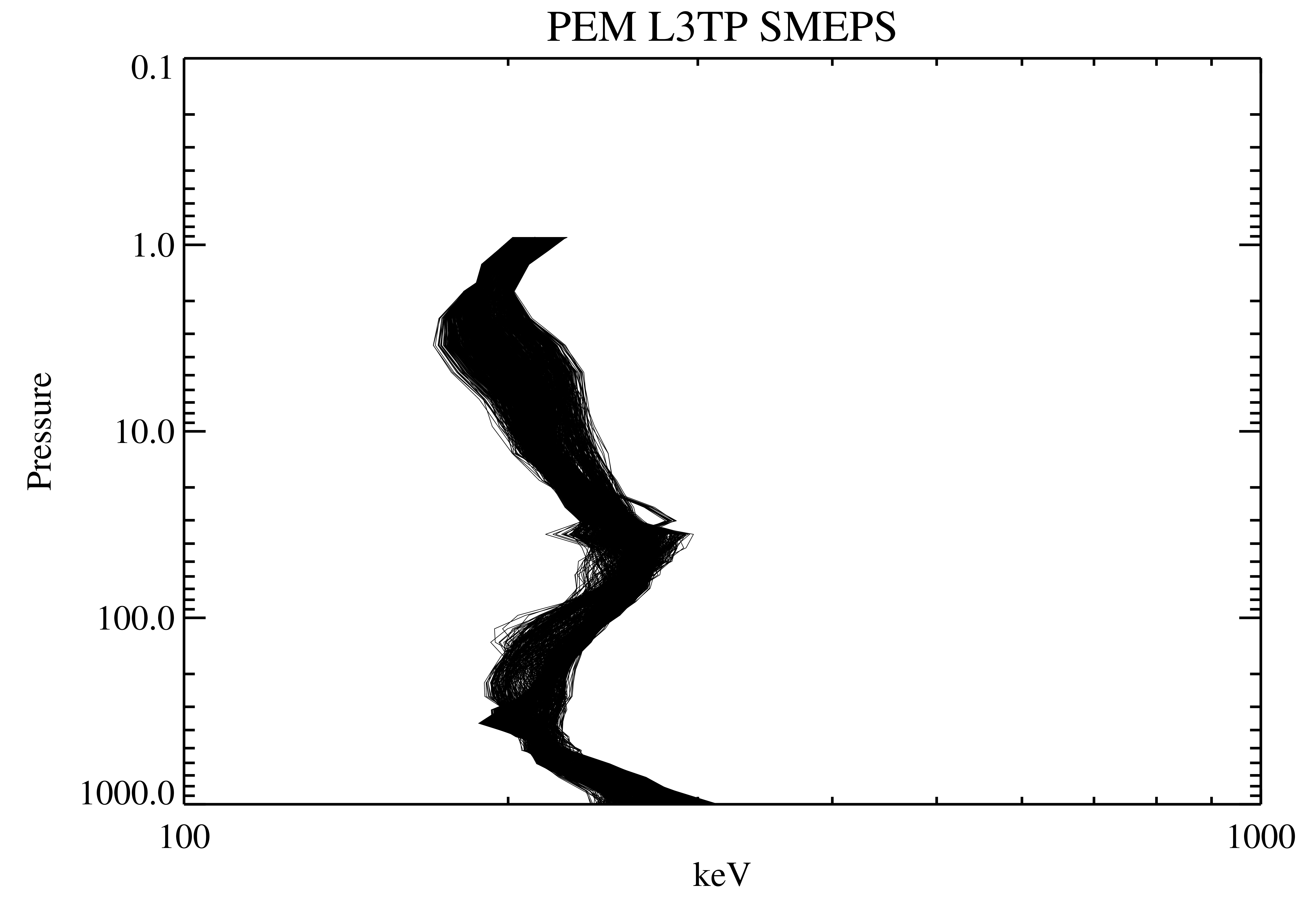
UARS PEM Level 2 AXIS 2 V001 (UARPE2AXIS2) at GES DISC
National Aeronautics and Space Administration —
The UARS Particle Environment Monitor (PEM) level 2 Atmosphere X-Ray Imaging Spectrometer (AXIS) unit 2 daily product contains the X-ray high-resolution spectral data... -
Federal
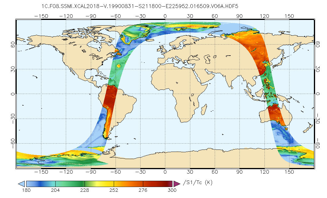
GPM SSMI on F08 Common Calibrated Brightness Temperatures L1C 1.5 hours 13 km V07 (GPM_1CF08SSMI) at GES DISC
National Aeronautics and Space Administration —
All 1C products have a common L1C data structure, simple and generic. Each L1C swath includes scan time, latitude and longitude, scan status, quality, incidence... -
Federal
Global Navigation Satellite Systems (GNSS) Rapid Ionosphere Products from NASA CDDIS
National Aeronautics and Space Administration —
Ionosphere Total Electron Content (TEC) grids derived from analysis of Global Navigation Satellite System (GNSS) data. These products are the generated by analysis... -
Federal
VIIRS/JPSS1 BRDF/Albedo Parameter 1 Band M1 Daily L3 Global 30 ArcSec CMG V002
National Aeronautics and Space Administration —
The NOAA-20 Visible Infrared Imaging Radiometer Suite (VIIRS) Bidirectional Reflectance Distribution Function (BRDF) and Albedo Model Parameter 1 Band M1 product... -
Federal
TROPESS Chemical Reanalysis CO Spread 6-Hourly 3-dimensional Product V1 (TRPSCRCOS6H3D) at GES DISC
National Aeronautics and Space Administration —
The TROPESS Chemical Reanalysis CO Spread 6-Hourly 3-dimensional Product contains the carbon monoxide ensemble spread, a measure of data assimilation analysis... -
Federal
Permafrost, palsas and frost-crack polygons, Salluit, Quebec, Canada, Version 1
National Aeronautics and Space Administration —
This dataset includes temperature conditions for ice-wedge cracking, Salluit, northern Quebec. Air temperature, soil temperature, wind speed and direction, July 1989... -
Federal
RSS SMAP Level 3 Sea Surface Salinity Standard Mapped Image Monthly V4.0 Validated Dataset
National Aeronautics and Space Administration —
The version 4.0 SMAP-SSS level 3, monthly gridded product is based on the fourth release of the validated standard mapped sea surface salinity (SSS) data from the... -
Federal
VIIRS/JPSS1 BRDF/Albedo NBAR at Solar Noon Band M8 Daily L3 Global 30ArcSec CMG V002
National Aeronautics and Space Administration —
The NOAA-20 Visible Infrared Imaging Radiometer Suite (VIIRS) Bidirectional Reflectance Distribution Function (BRDF) and Albedo Nadir BRDF-Adjusted Reflectance (NBAR)... -
Federal
Pre-LBA ISLSCP Initiative I Data
National Aeronautics and Space Administration —
This data set contains hydrology, soils, radiation, cloud, and vegetation data from the International Satellite Land Surface Climatology Project (ISLSCP) Initiative... -
Federal
VIIRS/JPSS1 BRDF/Albedo WSA at Solar Noon Band M2 Daily L3 Global 30ArcSec CMG V002
National Aeronautics and Space Administration —
The NOAA-20 Visible Infrared Imaging Radiometer Suite (VIIRS) Bidirectional Reflectance Distribution Function (BRDF) and Albedo white-sky albedo for band M2... -
Federal
ABoVE: Landsat-derived Annual Dominant Land Cover in Boreal North America, 1986-2020
National Aeronautics and Space Administration —
This dataset contains a 30-m resolution time series of annual land cover classifications as the dominant plant functional type class for all of boreal Alaska and... -
Federal
ORACLES Cloud Aircraft InSitu Data
National Aeronautics and Space Administration —
ORACLES_Cloud_AircraftInSitu_Data are in situ cloud measurements collected onboard the P-3 Orion or ER-2 aircraft during the ObseRvations of Aerosols above CLouds and... -
Federal
CERES Time-Interpolated TOA Fluxes, Clouds and Aerosols Daily Aqua Edition4A
National Aeronautics and Space Administration —
CER_SSF1deg-Day_Aqua-MODIS_Edition4A is the Clouds and the Earth's Radiant Energy System (CERES) Time-Interpolated Top of Atmosphere (TOA) Fluxes, Clouds and Aerosols... -
Federal
MISR radiometric camera-by-camera Cloud Mask subset for the UAE region V004
National Aeronautics and Space Administration —
UAEMIRCM_004 is the Multi-angle Imaging SpectroRadiometer (MISR) radiometric camera-by-camera Cloud Mask subset for the UAE region version 4. It contains the... -
Federal
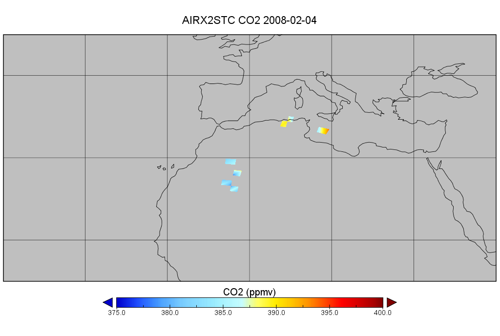
AIRS/Aqua L2 CO2 in the free troposphere (AIRS+AMSU) V005 (AIRX2STC) at GES DISC
National Aeronautics and Space Administration —
The Atmospheric Infrared Sounder (AIRS) is a grating spectrometer (R = 1200) aboard the second Earth Observing System (EOS) polar-orbiting platform, EOS Aqua. In... -
Federal
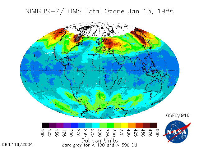
TOMS Nimbus-7 Total Column Ozone Daily L3 Global 1 deg x 1.25 deg Lat/Lon Grid V008 (TOMSN7L3dtoz) at GES DISC
National Aeronautics and Space Administration —
This Nimbus-7 Total Ozone Mapping Spectrometer (TOMS) version 8 daily global gridded data product contains total column ozone values. The data are mapped to a global... -
Federal
Polar Radiant Energy in the Far InfraRed Experiment (PREFIRE) Satellite 1 Raw Curated Payload R01
National Aeronautics and Space Administration —
Polar Radiant Energy in the Far InfraRed Experiment (PREFIRE) Satellite 1 Raw Curated Payload (PREFIRE_SAT1_0-PAYLOAD-TLM) contains the curated raw measurements from... -
Federal
LBA-ECO ND-02 Soil Volumetric Water Content, Tapajos National Forest, Brazil
National Aeronautics and Space Administration —
This data set reports monthly measured soil volumetric water content (VWC) from a rainfall exclusion experiment that was conducted from 1999-2001 at the km 67 Seca... -
Federal
CYGNSS Level 2 Ocean Surface Heat Flux Climate Data Record Version 1.2
National Aeronautics and Space Administration —
This dataset contains the third release, Version 1.2, of the CYGNSS Level 2 Ocean Surface Heat Flux Climate Data Record (CDR), which provides the time-tagged and... -
Federal
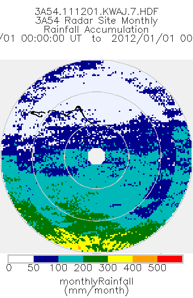
TRMM Ground Validation Radar Site Rain Type Totals Map L3 1 month 2 km V7 (TRMM_3A54) at GES DISC
National Aeronautics and Space Administration —
The 3A54 product, 'Site Rainfall Map', is a map of monthly surface rain totals derived from the instantaneous rain rate maps (2A53). The map is in Cartesian...

Official websites use .gov
A
.gov website belongs to an official government
organization in the United States.
Secure .gov websites use HTTPS
A
lock (
) or https:// means you’ve safely connected to
the .gov website. Share sensitive information only on official,
secure websites.