-
Federal
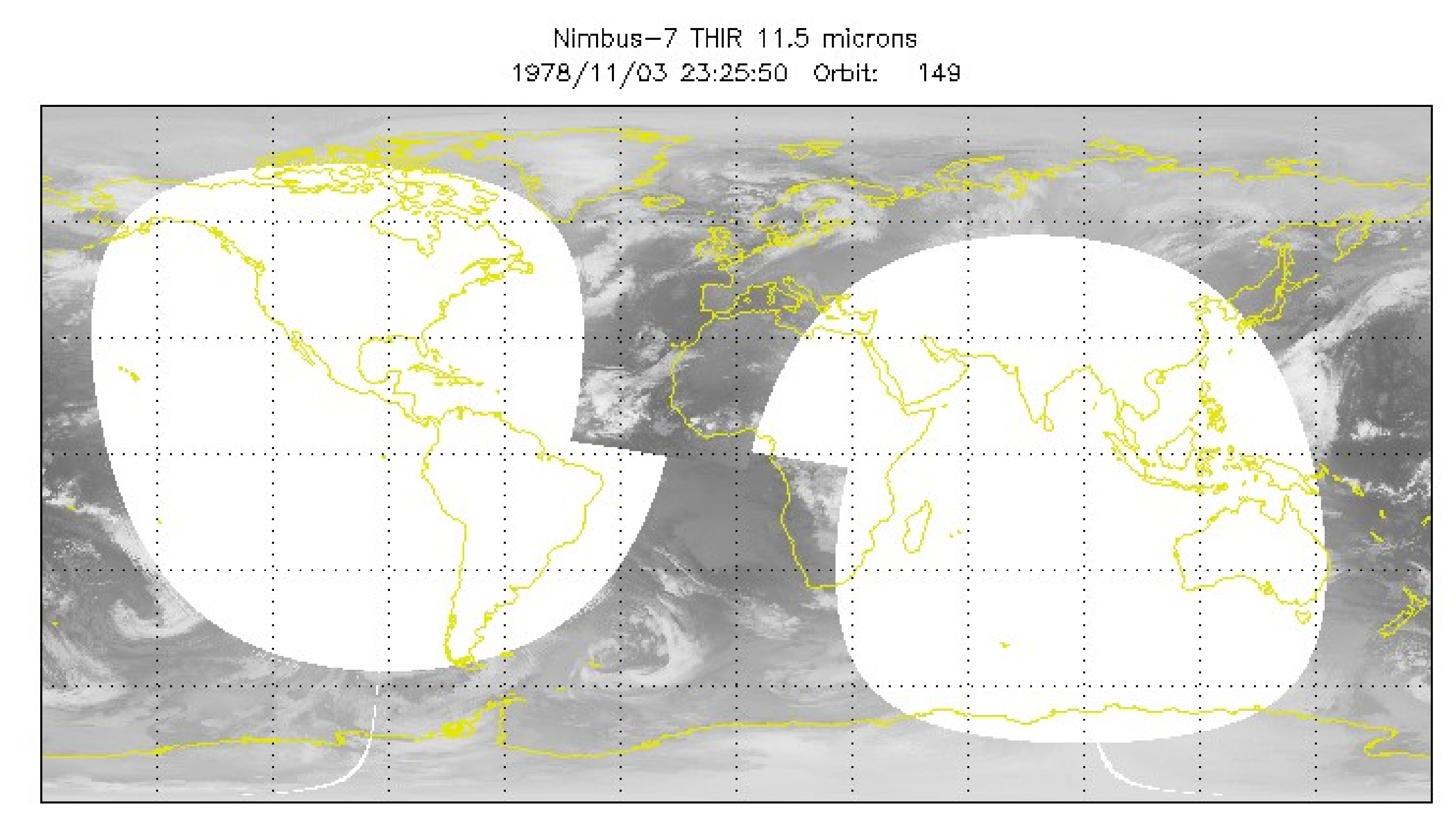
THIR/Nimbus-7 Level 1 Calibrated Located Radiation Data at 6.7 and 11.5 microns V001 (THIRN7L1CLDT) at GES DISC
National Aeronautics and Space Administration —
THIRN7L1CLDT is the Nimbus-7 Temperature-Humidity Infrared Radiometer (THIR) Level 1 Calibrated Located Radiation Data (CLDT) at 6.7 and 11.5 microns product and... -
Federal
TROPESS Chemical Reanalysis Temperature Monthly 3-dimensional Product V1 (TRPSCRTM3D) at GES DISC
National Aeronautics and Space Administration —
The TROPESS Chemical Reanalysis Temperature Monthly 3-dimensional Product contains vertical temperature values, a meteorological field. The data are part of the... -
Federal
TRMM Ground Validation Radar Site Rain Type Map L2 1 hour 2 km V7 (TRMM_2A54UW) at GES DISC
National Aeronautics and Space Administration —
This dataset is part of the University of Washington TRMM Ground Validation products. Instantaneous convective-stratiform cartesian grid based on baseUW. Values are 0... -
Federal
TRACE-A Supplementary Satellite Data
National Aeronautics and Space Administration —
TRACE-A_Satellite_Data is the supplementary satellite data collected during the Transport and Atmospheric Chemistry near the Equator - Atlantic (TRACE-A) suborbital... -
Federal
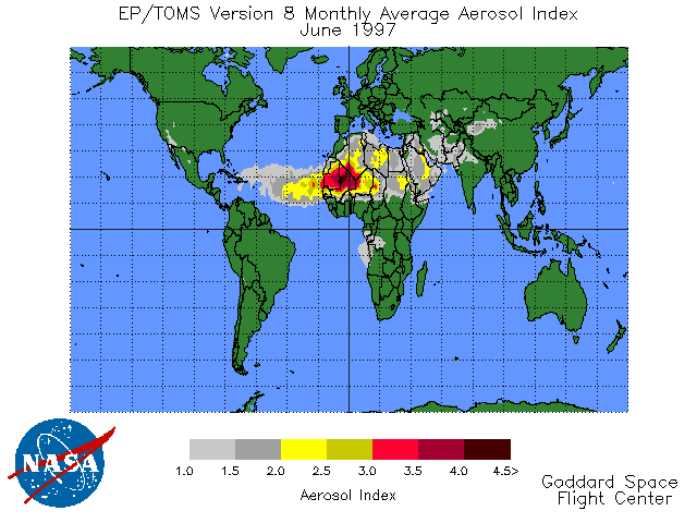
TOMS Earth Probe UV Aerosol Index Monthly L3 Global 1 deg x 1.25 deg Lat/Lon Grid V008 (TOMSEPL3maer) at GES DISC
National Aeronautics and Space Administration —
This Earth Probe (EP) Total Ozone Mapping Spectrometer (TOMS) version 8 monthly averaged global gridded data product contains UV aerosol index values. The data are... -
Federal
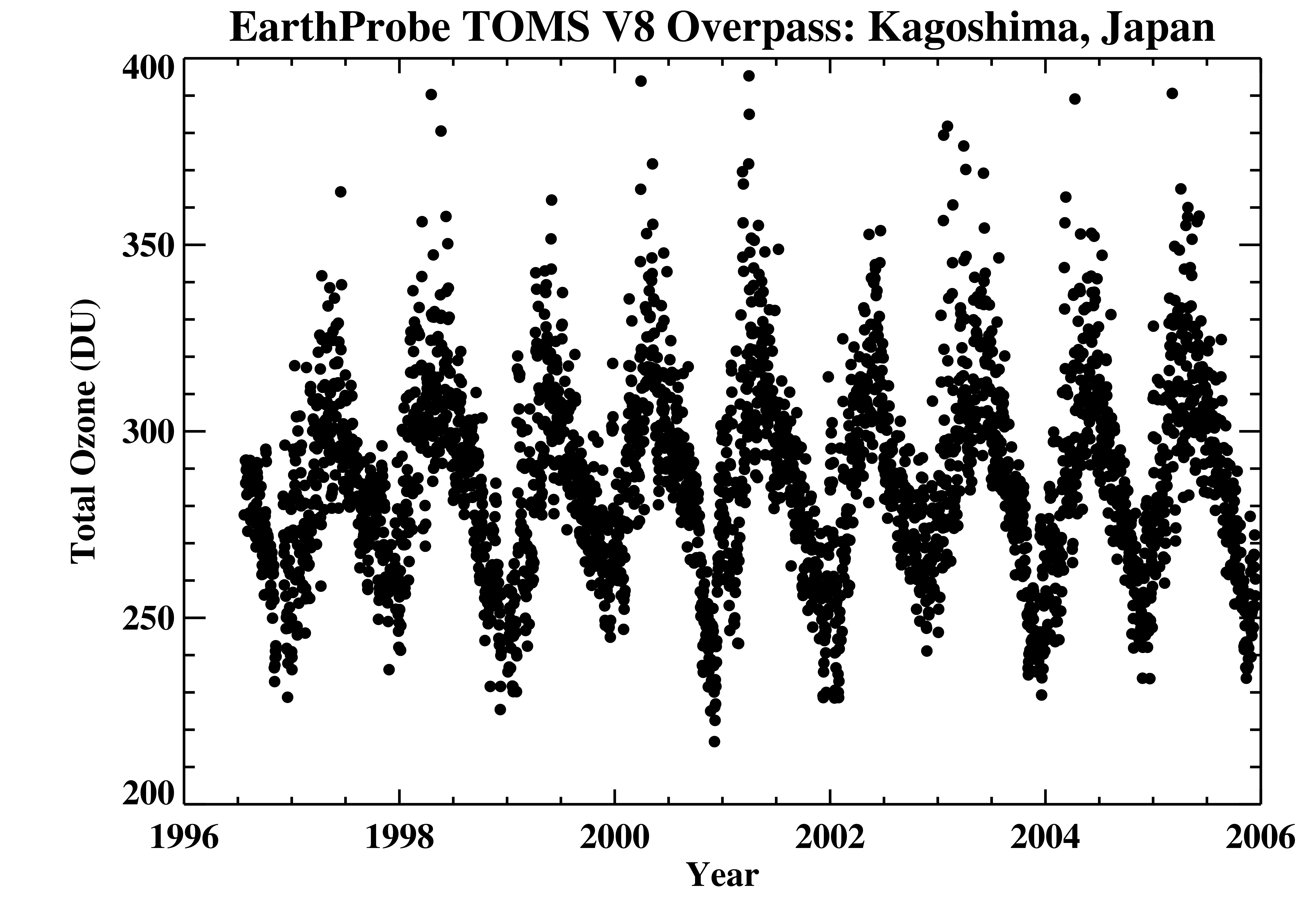
TOMS Earth Probe Ground Station Overpass Data V008 (TOMSEPOVP) at GES DISC
National Aeronautics and Space Administration —
The Earth Probe (EP) Total Ozone Mapping Spectrometer (TOMS) version 8 daily ground station overpass data product contains total column ozone, UV aerosol index,... -
Federal
GPM DPR Ku-band Received Power L1B 1.5 hours 5 km V07 (GPM_PRL1KU) at GES DISC
National Aeronautics and Space Administration —
Version 07 is the current version of the data set. Older versions are no longer available and have been superseded by Version 07. This product contains the calibrated... -
Federal
GHRSST Level 3C North Atlantic Regional Subskin Sea Surface Temperature from the Advanced Very High Resolution Radiometer (AVHRR) on NOAA-19 (GDS2 version)
National Aeronautics and Space Administration —
A Group for High Resolution Sea Surface Temperature (GHRSST) dataset for the North Atlantic Region (NAR) from the Advanced Very High Resolution Radiometer (AVHRR) on... -
Federal
GFZ TELLUS GRACE Level-3 Monthly Land Water-Equivalent-Thickness Surface Mass Anomaly Release 6.0 version 04
National Aeronautics and Space Administration —
The monthly land mass grids contain water mass anomalies given as equivalent water thickness derived from GRACE & GRACE-FO time-variable gravity observations... -
Federal
GPM SSMIS on F19 (GPROF) Climate-based Radiometer Precipitation Profiling 1.5 hours 12 km V07 (GPM_2AGPROFF19SSMIS_CLIM) at GES DISC
National Aeronautics and Space Administration —
Version 07 is the current version of the data set. Older versions will no longer be available and have been superseded by Version 07. The 'CLIM' products differ from... -
Federal
GPM TMI on TRMM Common Calibrated Brightness Temperatures L1C 1.5 hours 13 km V07 (GPM_1CTRMMTMI) at GES DISC
National Aeronautics and Space Administration —
This a new (GPM-formated) TRMM product. There is no equivalent in the old TRMM suite of products. All 1C products have a common L1C data structure, simple and... -
Federal
Ground-Based Global Navigation Satellite System GLONASS (GLObal NAvigation Satellite System) Summary Data (30-second sampling, daily files) from NASA CDDIS
National Aeronautics and Space Administration —
This dataset consists of ground-based Global Navigation Satellite System (GNSS) GLONASS Observation Summary Data (30-second sampling, daily files of all distinct... -
Federal
IceBridge GPS/IMU L1B Primary Position and Attitude Solution, Version 1
National Aeronautics and Space Administration —
This data set contains elevation, roll, pitch, heading, north-south acceleration, east-west acceleration, and vertical acceleration measurements over Antarctica using... -
Federal
Global 30-Year Mean Monthly Climatology, 1901-1960 (New et al.)
National Aeronautics and Space Administration —
This is a data set of 30-year mean monthly surface climate data over global land areas, excluding Antarctica, for the period 1901-1960. The data set is gridded at 0.5... -
Federal
Global Annual Soil Respiration Data (Raich and Schlesinger 1992)
National Aeronautics and Space Administration —
This data set is a compilation of soil respiration rates (g C m-2 yr-1) from terrestrial and wetland ecosystems reported in the literature prior to 1992. These rates... -
Federal
GEDI L3 Gridded Land Surface Metrics, Version 1
National Aeronautics and Space Administration —
This dataset provides Global Ecosystem Dynamics Investigation (GEDI) Level 3 (L3) gridded mean canopy height, standard deviation of canopy height, mean ground... -
Federal
GPM GROUND VALIDATION ENVIRONMENT CANADA (EC) MICRO RAIN RADAR (MRR) GCPEX
National Aeronautics and Space Administration —
The GPM Ground Validation Environment Canada (EC) Micro Rain Radar (MRR) GCPEx V2 dataset was collected from the Micro Rain Radar (MRR) during the GPM Cold-season... -
Federal
GPM Ground Validation Microwave Atmospheric Sounder on Cubesat (MASC) OLYMPEX V1
National Aeronautics and Space Administration —
The GPM Ground Validation Microwave Atmospheric Sounder on Cubesat (MASC) OLYMPEX dataset consists of microwave radiance measurements collected during the GPM Ground... -
Federal
GPM GMI (GPROF) Climate-based Radiometer Precipitation Profiling L3 1 month 0.25 degree x 0.25 degree V07 (GPM_3GPROFGPMGMI_CLIM) at GES DISC
National Aeronautics and Space Administration —
Version 07 is the current version of the data set. Older versions will no longer be available and have been superseded by Version 07. The "CLIM" products differ from... -
Federal
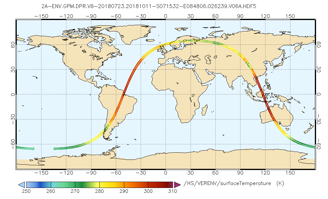
GPM DPR L2A Environment 1.5 hours 5 km V07 (GPM_2ADPRENV) at GES DISC
National Aeronautics and Space Administration —
Version 07 is the current version of the data set. Older versions will no longer be available and have been superseded by Version 07. . This is environmental data...

Official websites use .gov
A
.gov website belongs to an official government
organization in the United States.
Secure .gov websites use HTTPS
A
lock (
) or https:// means you’ve safely connected to
the .gov website. Share sensitive information only on official,
secure websites.