
-
Federal
NOAA TIFF Image - NF12_PR_1002_bathy_8m.tif - Benthic Habitat Characterization - NOAA Ship Nancy Foster - M-I907-NF-12 (2012), UTM 20N NAD83 (NCEI Accession 0131855)
National Oceanic and Atmospheric Administration, Department of Commerce —
This image represents a 8 meter resolution bathymetry of a reef shelf/bank and the steep canyons and slopes of the NE Reserve, offshore of Fajardo, Puerto Rico. The... -
Federal
H11916: NOS Hydrographic Survey , New York Harbor and Approaches, New York and New Jersey, 2008-07-14
National Oceanic and Atmospheric Administration, Department of Commerce —
The National Oceanic and Atmospheric Administration (NOAA) has the statutory mandate to collect hydrographic data in support of nautical chart compilation for safe... -
Federal
H11166: NOS Hydrographic Survey , Prince William Sound, Alaska, 2002-09-12
National Oceanic and Atmospheric Administration, Department of Commerce —
The National Oceanic and Atmospheric Administration (NOAA) has the statutory mandate to collect hydrographic data in support of nautical chart compilation for safe... -
Federal
H10441: NOS Hydrographic Survey , Northwest Prince William Sound, Alaska, 1992-10-14
National Oceanic and Atmospheric Administration, Department of Commerce —
The National Oceanic and Atmospheric Administration (NOAA) has the statutory mandate to collect hydrographic data in support of nautical chart compilation for safe... -
Federal
NOAA ESRI Geotiff - 3m Multibeam Bathymetry, Puerto Rico (Isla de Vieques) - UTM 20N NAD83 (NCEI Accession 0131852)
National Oceanic and Atmospheric Administration, Department of Commerce —
This dataset contains an ESRI Geotiff with 3 meter cell size representing the bathymetry of a selected portion of seafloor south of Isla de Vieques in Puerto Rico,... -
Federal
H11013: NOS Hydrographic Survey , Prince William Sound, Alaska, 2000-10-26
National Oceanic and Atmospheric Administration, Department of Commerce —
The National Oceanic and Atmospheric Administration (NOAA) has the statutory mandate to collect hydrographic data in support of nautical chart compilation for safe... -
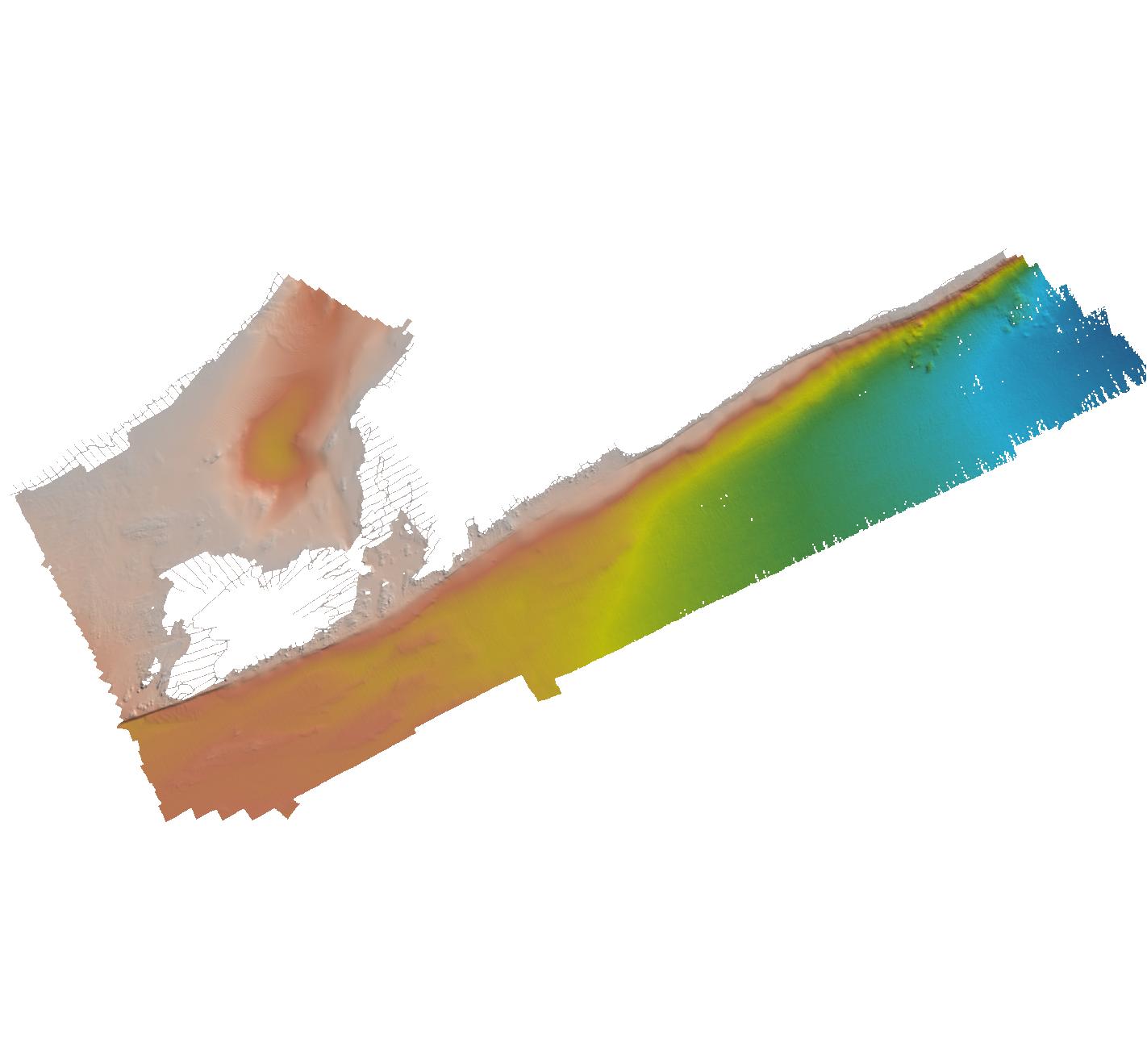
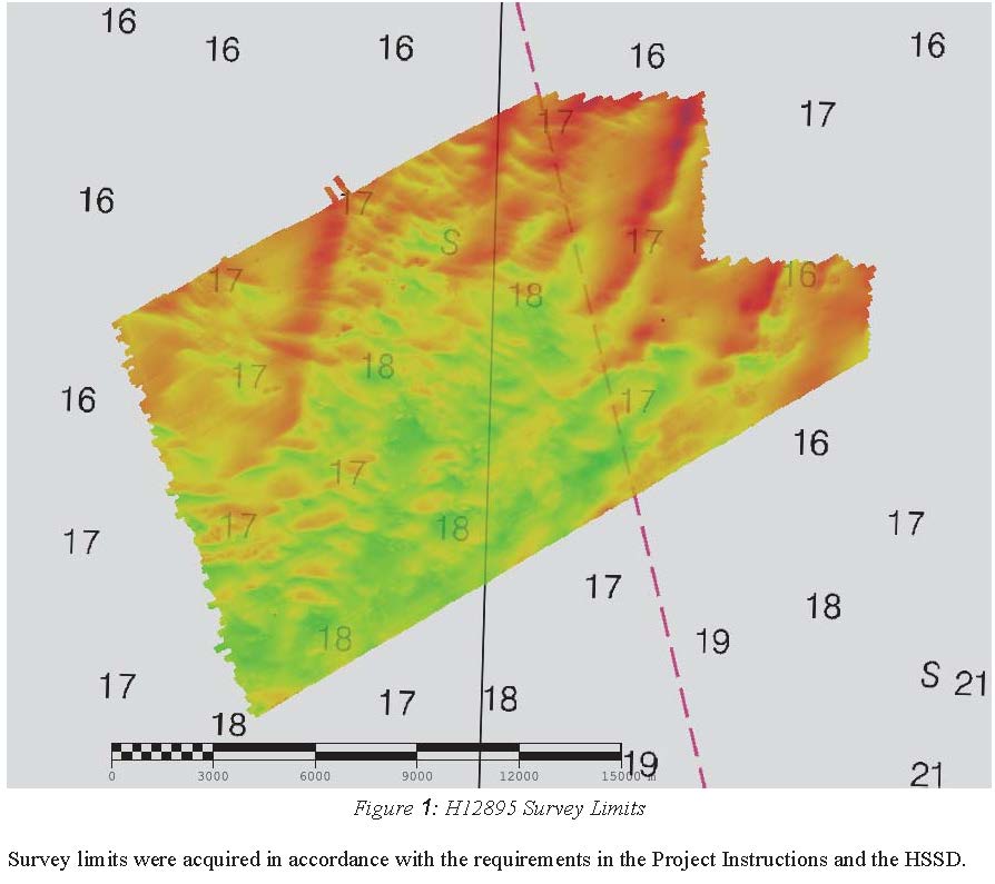
Federal
H12895: NOS Hydrographic Survey , 2016-08-18
National Oceanic and Atmospheric Administration, Department of Commerce —
The National Oceanic and Atmospheric Administration (NOAA) has the statutory mandate to collect hydrographic data in support of nautical chart compilation for safe... -
Federal
H12971: NOS Hydrographic Survey , 2016-11-15
National Oceanic and Atmospheric Administration, Department of Commerce —
The National Oceanic and Atmospheric Administration (NOAA) has the statutory mandate to collect hydrographic data in support of nautical chart compilation for safe... -
Federal
H10360: NOS Hydrographic Survey , Corpus Christi and Aransas Bays, Texas, 1991-02-27
National Oceanic and Atmospheric Administration, Department of Commerce —
The National Oceanic and Atmospheric Administration (NOAA) has the statutory mandate to collect hydrographic data in support of nautical chart compilation for safe... -
Federal
H13172: NOS Hydrographic Survey , 2019-03-29
National Oceanic and Atmospheric Administration, Department of Commerce —
The National Oceanic and Atmospheric Administration (NOAA) has the statutory mandate to collect hydrographic data in support of nautical chart compilation for safe... -
Federal
H10711: NOS Hydrographic Survey , Rhode Island Sound, Rhode Island, 1996-11-06
National Oceanic and Atmospheric Administration, Department of Commerce —
The National Oceanic and Atmospheric Administration (NOAA) has the statutory mandate to collect hydrographic data in support of nautical chart compilation for safe... -
Federal
Multibeam collection for RR1511: Multibeam data collected aboard Roger Revelle from 04-Aug-15 to 15-Aug-15, Colombo, Sri Lanka to Colombo, Sri Lanka
National Oceanic and Atmospheric Administration, Department of Commerce —
This data set is part of a larger set of data called the Multibeam Bathymetry Database (MBBDB) where other similar data can be found -
Federal
H13804: NOS Hydrographic Survey , 2023-09-11
National Oceanic and Atmospheric Administration, Department of Commerce —
The National Oceanic and Atmospheric Administration (NOAA) has the statutory mandate to collect hydrographic data in support of nautical chart compilation for safe... -
Federal
H12740: NOS Hydrographic Survey , 2015-09-23
National Oceanic and Atmospheric Administration, Department of Commerce —
The National Oceanic and Atmospheric Administration (NOAA) has the statutory mandate to collect hydrographic data in support of nautical chart compilation for safe... -
Federal
Multibeam collection for lophelia2010: Multibeam data collected aboard NOAA Ship RONALD H. BROWN (R104) from 14-Oct-10 to 04-Nov-10, Pensacola, Florida to Pensacola, Florida
National Oceanic and Atmospheric Administration, Department of Commerce —
This data set is part of a larger set of data called the Multibeam Bathymetry Database (MBBDB) where other similar data can be found -
Federal
F00863: NOS Hydrographic Survey , 2022-07-18
National Oceanic and Atmospheric Administration, Department of Commerce —
The National Oceanic and Atmospheric Administration (NOAA) has the statutory mandate to collect hydrographic data in support of nautical chart compilation for safe... -
Federal
H13205: NOS Hydrographic Survey , 2018-10-27
National Oceanic and Atmospheric Administration, Department of Commerce —
The National Oceanic and Atmospheric Administration (NOAA) has the statutory mandate to collect hydrographic data in support of nautical chart compilation for safe... -
Federal
H10386: NOS Hydrographic Survey , Hagemeister Strait, Alaska, 1991-07-25
National Oceanic and Atmospheric Administration, Department of Commerce —
The National Oceanic and Atmospheric Administration (NOAA) has the statutory mandate to collect hydrographic data in support of nautical chart compilation for safe... -
Federal
F00642: NOS Hydrographic Survey , 2015-05-15
National Oceanic and Atmospheric Administration, Department of Commerce —
The National Oceanic and Atmospheric Administration (NOAA) has the statutory mandate to collect hydrographic data in support of nautical chart compilation for safe... -
Federal
NOAA TIFF Image - 50m Backscatter, Charleston Bump - Deep Coral Priority Areas - Nancy Foster - (2006), UTM 17N NAD83
National Oceanic and Atmospheric Administration, Department of Commerce —
This dataset contains a unified GeoTiff with 30x30 meter cell size representing the backscatter intensity of the Charleston Bump off of the South Atlantic Bight,...

Official websites use .gov
A
.gov website belongs to an official government
organization in the United States.
Secure .gov websites use HTTPS
A
lock (
) or https:// means you’ve safely connected to
the .gov website. Share sensitive information only on official,
secure websites.
.jpg)
.jpg)
.jpg)
.jpg)