
-
Federal
NASADEM Merged DEM Global 1 arc second V001
National Aeronautics and Space Administration —
The Land Processes Distributed Active Archive Center (LP DAAC) is responsible for the archive and distribution of the NASA Making Earth System Data Records for Use in... -
Federal
MODIS/Terra Net Evapotranspiration Gap-Filled Yearly L4 Global 500m SIN Grid V061
National Aeronautics and Space Administration —
The Terra Moderate Resolution Imaging Spectroradiometer (MODIS) MOD16A3GF Version 6.1 Evapotranspiration/Latent Heat Flux (ET/LE) product is a year-end gap-filled... -
Federal
MODIS/Terra Level 1B Subsampled Calibrated Radiance 5Km
National Aeronautics and Space Administration —
The MODIS/Terra Level 1B Subsampled Calibrated Radiances 5km (MOD02SSH) is a subsample from the MODIS Level 1B 1-km data. Every fifth pixel is taken from the MOD021KM... -
Federal
NASA Global Web-Enabled Landsat Data Monthly Global 30 m V003
National Aeronautics and Space Administration —
The NASA Making Earth System Data Records for Use in Research Environments (MEaSUREs)... -
Federal
MODIS/Terra+Aqua BRDF/Albedo Parameter2 VIS Daily L3 Global 30ArcSec CMG V006
National Aeronautics and Space Administration —
The MCD43D23 Version 6 data product was decommissioned on July 31, 2023. Users are encouraged to use the MCD43D23... -
Federal
PACE Absorbance Closure project, Florida
National Aeronautics and Space Administration —
Measurements from the PACE Absorbance Closure project off the coast of Florida. -
Federal
Pacific Color 2025
National Aeronautics and Space Administration —
The Pacific Color 2025 Expedition is a multiplatform interdisciplinary research expedition in the context of an interinstitutional international collaboration between... -
Federal
Northern Circumpolar Soils Map, Version 1
National Aeronautics and Space Administration —
This data set consists of a circumpolar map of dominant soil characteristics, with a scale of 1:10,000,000, covering the United States, Canada, Greenland, Iceland,... -
Federal
Monthly Gridded Level 4 bias-corrected XCO2 and other select fields aggregated from ACOS as Level 4 monthly files V3 (ACOSMonthlyGriddedXCO2)
National Aeronautics and Space Administration —
Gridded carbon dioxide mole fraction (XCO2) and other select variables created by applying local kriging (also known as optimal interpolation) to daily aggregates of... -
Federal
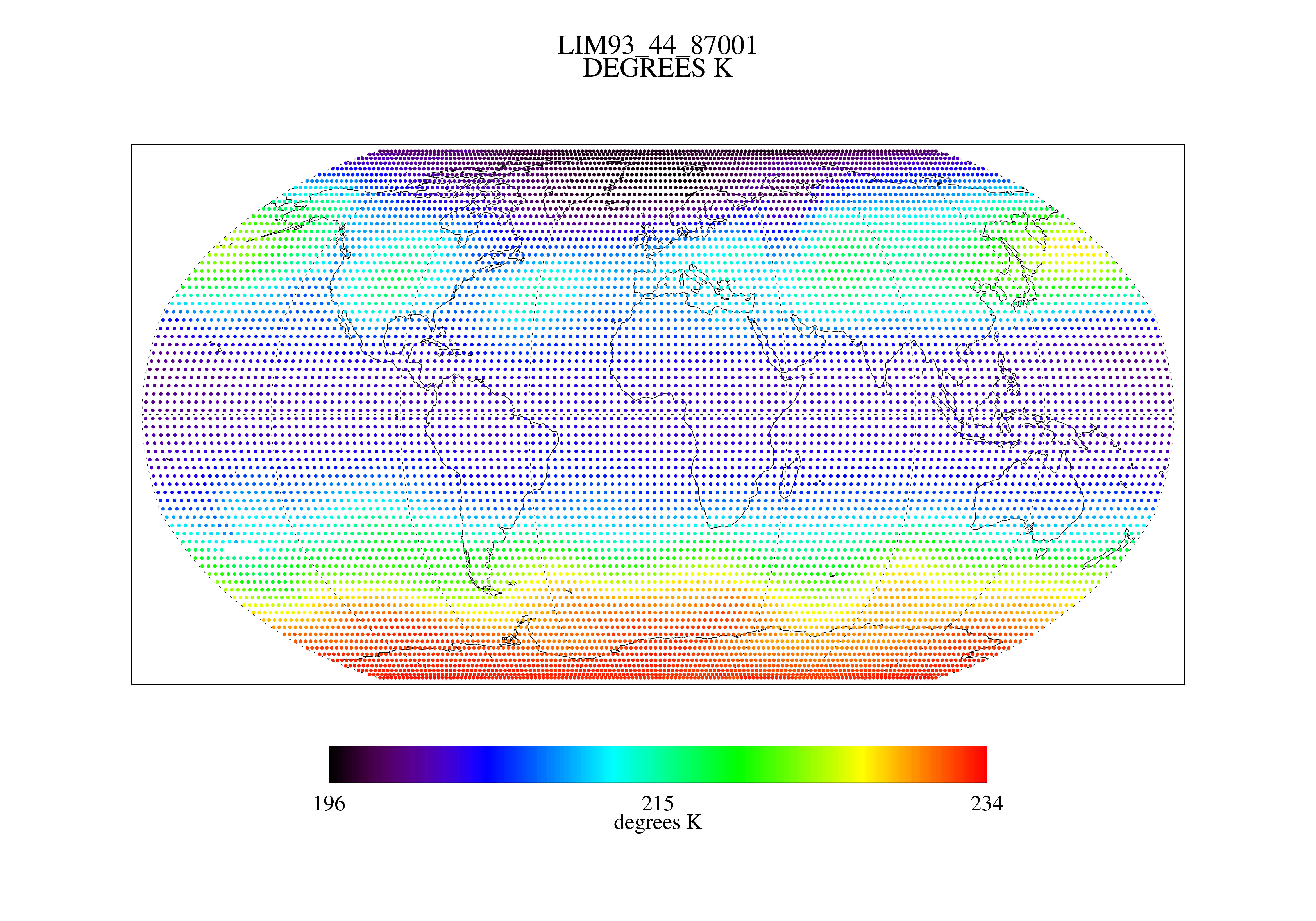
MSU Ch 4 Daily Lower Stratosphere Temps with Limb93 Correction L3 1 day 2.5 degree x 2.5 degree V001 (MSULST) at GES DISC
National Aeronautics and Space Administration —
The Microwave Sounding Unit (MSU) Lower Stratosphere Deep Layer Mean Temperature product (MSULST) provides gridded lower stratospheric temperatures for each day... -
Federal
NLDAS Primary Forcing Data L4 Monthly Climatology 0.125 x 0.125 degree V2.0 (NLDAS_FORA0125_MC) at GES DISC
National Aeronautics and Space Administration —
This data set contains the monthly climatology data of the primary forcing data for Phase 2 of the North American Land Data Assimilation System (NLDAS-2). The data... -
Federal
Monthly Climate Data for Selected USGS HCDN Sites, 1951-1990, R1
National Aeronautics and Space Administration —
Time series of monthly minimum and maximum temperature, precipitation, and potential evapotranspiration were derived for 1,469 watersheds in the conterminous United... -
Federal
OCO-2 Level 0 spacecraft ephemerides, Retrospective Processing V11r (OCO2_Eph) at GES DISC
National Aeronautics and Space Administration —
Version 11r is the current version of the data set. Older versions will no longer be available and are superseded by Version 11r. The Orbiting Carbon Observatory is... -
Federal
NWS Daily Climatology Data: 1987 (SNF)
National Aeronautics and Space Administration —
Weather data were collected by the National Weather Service in International Falls, Minnesota. International Falls is about 80 miles from the SNF, but the weather... -
Federal
Near Real-Time MODIS/Terra L3 Global Daily 500m SIN Grid Snow Cover, Snow Albedo, and Snow Surface Properties, Version 1
National Aeronautics and Space Administration —
This data set contains the following parameters: snow fraction (on the ground), viewable snow fraction, snow cover duration, snow grain size, dust concentration, snow... -
Federal
MODIS/Terra+Aqua BRDF/Albedo QA BRDFQuality Daily L3 Global 30ArcSec CMG V006
National Aeronautics and Space Administration —
The MCD43D31 Version 6 data product was decommissioned on July 31, 2023. Users are encouraged to use the MCD43D31... -
Federal
NARSTO Pacific 2001 Air Quality Study (PAC2001) Cassiar Tunnel Gaseous and Particle Mass and Composition Data
National Aeronautics and Space Administration —
NARSTO_PAC2001_CASSIAR_TUNNEL_GAS_PM_DATA is the North American Research Strategy for Tropospheric Ozone (NARSTO) Pacific 2001 Air Quality Study (PAC2001) Cassiar... -
Federal
MODIS/Terra+Aqua BRDF/Albedo Albedo Daily L3 Global - 500m V006
National Aeronautics and Space Administration —
The MCD43A3 Version 6 data product was decommissioned on July 31, 2023. Users are encouraged to use the MCD43A3... -
Federal
NASA Shuttle Radar Topography Mission Swath Image Data V003
National Aeronautics and Space Administration —
The Land Processes Distributed Active Archive Center (LP DAAC) is responsible for the archive and distribution of NASA Making Earth System Data Records for Use in... -
Federal
MODIS/Terra Thermal Anomalies/Fire Daily L3 Global 1km SIN Grid V061
National Aeronautics and Space Administration —
The Terra Moderate Resolution Imaging Spectroradiometer (MODIS) Thermal Anomalies and Fire Daily (MOD14A1) Version 6.1 data are generated every eight days at 1...

Official websites use .gov
A
.gov website belongs to an official government
organization in the United States.
Secure .gov websites use HTTPS
A
lock (
) or https:// means you’ve safely connected to
the .gov website. Share sensitive information only on official,
secure websites.