
-
Federal
H12662: NOS Hydrographic Survey , 2014-07-21
National Oceanic and Atmospheric Administration, Department of Commerce —
The National Oceanic and Atmospheric Administration (NOAA) has the statutory mandate to collect hydrographic data in support of nautical chart compilation for safe... -
Federal
Multibeam collection for NF-07-13-FGBNMS: Multibeam data collected aboard NOAA Ship NANCY FOSTER (R352) from 08-Sep-07 to 15-Sep-07, None to None
National Oceanic and Atmospheric Administration, Department of Commerce —
This data set is part of a larger set of data called the Multibeam Bathymetry Database (MBBDB) where other similar data can be found -
Federal
Multibeam collection for M-1-01-GM: Multibeam data collected aboard Moana Wave from 03-Sep-01 to 11-Oct-01, Panama City, Florida to Panama City, Florida
National Oceanic and Atmospheric Administration, Department of Commerce —
This data set is part of a larger set of data called the Multibeam Bathymetry Database (MBBDB) where other similar data can be found -
Federal
H12100: NOS Hydrographic Survey , Approaches to Cheasapeake Bay, Virginia, 2009-07-14
National Oceanic and Atmospheric Administration, Department of Commerce —
The National Oceanic and Atmospheric Administration (NOAA) has the statutory mandate to collect hydrographic data in support of nautical chart compilation for safe... -
Federal
NOAA TIFF Image - 1m Backscatter Mosaic, W00221-222 USVI 2012, Seafloor Characterization of the US Caribbean - Nancy Foster - M-I907-NF-12 (2012), UTM 20N NAD83
National Oceanic and Atmospheric Administration, Department of Commerce —
This image represents a 1 meter resolution backscatter mosaic of the bathymetry of a reef shelf/bank and the steep slopes and canyons of the NE Reserve, offshore of... -
Federal
H10492: NOS Hydrographic Survey , Pensacola and Perdido Bays, Florida and Alabama, 1993-10-29
National Oceanic and Atmospheric Administration, Department of Commerce —
The National Oceanic and Atmospheric Administration (NOAA) has the statutory mandate to collect hydrographic data in support of nautical chart compilation for safe... -
Federal
H13626: NOS Hydrographic Survey , MDBC Mesophotic and Deep Benthic Communities Restoration, 2022-06-17
National Oceanic and Atmospheric Administration, Department of Commerce —
The National Oceanic and Atmospheric Administration (NOAA) has the statutory mandate to collect hydrographic data in support of nautical chart compilation for safe... -
Federal
W00175: NOS Hydrographic Survey , 2005-06-23
National Oceanic and Atmospheric Administration, Department of Commerce —
The National Oceanic and Atmospheric Administration (NOAA) has the statutory mandate to collect hydrographic data in support of nautical chart compilation for safe... -
Federal
NOAA TIFF Image - 3x3m Multibeam Backscatter, US Virgin Islands - Vieques Island (South Bank) - Project NF-09-01 - (2009), UTM 20N NAD83 (NCEI Accession 0131857)
National Oceanic and Atmospheric Administration, Department of Commerce —
This dataset contains a GeoTIFF with 3x3 meter cell size representing the backscatter or intensity of sound returned from the seafloor on the bank/shelf escarpment... -
Federal
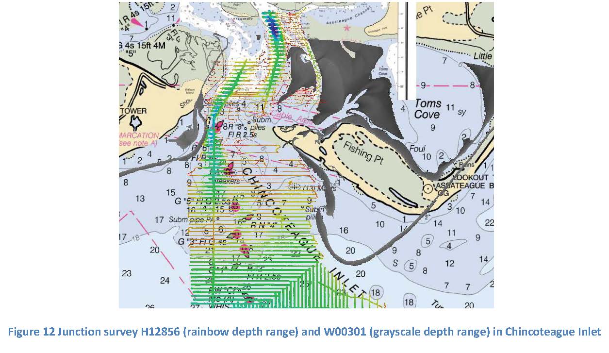
W00301: NOS Hydrographic Survey , 2014-07-01
National Oceanic and Atmospheric Administration, Department of Commerce —
The National Oceanic and Atmospheric Administration (NOAA) has the statutory mandate to collect hydrographic data in support of nautical chart compilation for safe... -
Federal
B00261: NOS Hydrographic Survey , 1991-04-26
National Oceanic and Atmospheric Administration, Department of Commerce —
The National Oceanic and Atmospheric Administration (NOAA) has the statutory mandate to collect hydrographic data in support of nautical chart compilation for safe... -
Federal
Principal Components Analysis (PCA) Image used to characterize the complexity of the seafloor around St. John, USVI
National Oceanic and Atmospheric Administration, Department of Commerce —
Eight complexity surfaces (mean depth, standard deviation of depth, curvature, plan curvature, profile curvature, rugosity, slope, and slope of slope) were stacked... -
Federal
D00282: NOS Hydrographic Survey , 2024-05-15
National Oceanic and Atmospheric Administration, Department of Commerce —
The National Oceanic and Atmospheric Administration (NOAA) has the statutory mandate to collect hydrographic data in support of nautical chart compilation for safe... -
Federal
F00798: NOS Hydrographic Survey , 2020-02-05
National Oceanic and Atmospheric Administration, Department of Commerce —
The National Oceanic and Atmospheric Administration (NOAA) has the statutory mandate to collect hydrographic data in support of nautical chart compilation for safe... -
Federal
NOAA TIFF Image - 4m Bathymetric Profile Curvature of Red Snapper Research Areas in the South Atlantic Bight, 2010
National Oceanic and Atmospheric Administration, Department of Commerce —
This dataset contains unified Bathymetric Profile Curvature GeoTiffs with 4x4 meter cell resolution describing the topography of 15 areas along the shelf edge off the... -
Federal
NOAA TIFF Image - 30m Multibeam Bathymetry, Charleston Bump - Deep Coral Priority Areas - Thomas Jefferson - (2007), UTM 17N NAD83
National Oceanic and Atmospheric Administration, Department of Commerce —
This dataset contains a unified GeoTiff with 30x30 meter cell size representing the bathymetry of the Charleston Bump off of the South Atlantic Bight, derived from... -
Federal
H13968: NOS Hydrographic Survey , 2024-12-03
National Oceanic and Atmospheric Administration, Department of Commerce —
The National Oceanic and Atmospheric Administration (NOAA) has the statutory mandate to collect hydrographic data in support of nautical chart compilation for safe... -
Federal
Multibeam collection for DRFT06RR: Multibeam data collected aboard Roger Revelle from 05-Nov-01 to 14-Dec-01, Callao, Peru to Easter Island, Chile
National Oceanic and Atmospheric Administration, Department of Commerce —
This data set is part of a larger set of data called the Multibeam Bathymetry Database (MBBDB) where other similar data can be found -
Federal
Multibeam collection for MGLN30MV: Multibeam data collected aboard Melville from 30-Nov-07 to 04-Jan-08, Manila, Philippines to Manila, Philippines
National Oceanic and Atmospheric Administration, Department of Commerce —
This data set is part of a larger set of data called the Multibeam Bathymetry Database (MBBDB) where other similar data can be found -
Federal
F00602: NOS Hydrographic Survey , Approaches to Chesapeake Bay, Virginia, 2011-06-15
National Oceanic and Atmospheric Administration, Department of Commerce —
The National Oceanic and Atmospheric Administration (NOAA) has the statutory mandate to collect hydrographic data in support of nautical chart compilation for safe...

Official websites use .gov
A
.gov website belongs to an official government
organization in the United States.
Secure .gov websites use HTTPS
A
lock (
) or https:// means you’ve safely connected to
the .gov website. Share sensitive information only on official,
secure websites.