-
Federal
PDS Cassini Data Release 5
National Aeronautics and Space Administration —
CDA, CIRS, RADAR, SPICE, UVIS -
Federal
Currents, HFRadar, Monterey Bay, 25 hr, 2008-2009, EXPERIMENTAL, Lon+/-180
National Oceanic and Atmospheric Administration, Department of Commerce —
The data is the 25 hour running average of the zonal component of ocean surface currents derived from High Frequency Radio-derived measurements. THIS IS AN... -
Federal
SLAR = USGS Side Looking Airborne Radar Mosaics: 1981 - 1990
Department of the Interior —
'The Side-Looking Airborne Radar (SLAR) is an image-producing system that derives its name from the fact that the radar beam is transmitted from the side of the... -
Federal
HFradar USM GenGOOS
National Oceanic and Atmospheric Administration, Department of Commerce —
High Frequency (HF) radar in Gulf of Mexico. USM data from a local source. -
Federal
IceBridge MCoRDS L1B Geolocated Radar Echo Strength Profiles V002
National Aeronautics and Space Administration —
This data set contains radar echograms taken from the Center for Remote Sensing of Ice Sheets (CReSIS) ultra Multichannel Coherent Radar Depth Sounder (MCoRDS) over... -
Federal
SMAP L3 Radar Global Daily 3 km EASE-Grid Soil Moisture V003
National Aeronautics and Space Administration —
This Level-3 (L3) soil moisture product provides a composite of daily estimates of global land surface conditions retrieved by the Soil Moisture Active Passive (SMAP)... -
Federal
SWOT Level 1B High-Rate Single-look Complex Data Product, Version 2.0
National Aeronautics and Space Administration —
High rate data processed to single-look complex SAR images for each antenna. Gridded tile (approx 64x64 km2); half swath (left or right side of full swath). Available... -
Federal
Radar - NOAA 915 MHz Boundary-Layer Wind Profiler - Raw Data
Department of Energy —
Overview Monitor real-time profiles of virtual temperature (C), wind speed (ms-1), and direction (deg) few km above ground level. Data... -
Federal
Currents, HF Radar, US East Coast and Gulf of Mexico, RTV, Near-Real Time, 2012-present, Hourly, 6km, Lon0360
National Oceanic and Atmospheric Administration, Department of Commerce —
Surface ocean velocities estimated from HF-Radar are representative of the upper 2.4 meters of the ocean. The main objective of near-real time processing is to... -
Federal
Map Layer: National Weather Services's Base Reflectivity Images (Doppler Radar)
National Oceanic and Atmospheric Administration, Department of Commerce —
The National Weather Service produces base reflectivity images from the network of Doppler radars. Taken from the lowest elevation (1/2 degree) slice, it is the... -
Federal
SnowEx20 Grand Mesa IOP BSU Multi-polarization 1 GHz GPR CMP Raw V001
National Aeronautics and Space Administration —
This data set was collected during the SnowEx 2020 Intensive Observation Period (IOP) in Grand Mesa, Colorado. These data contain the geolocated, unprocessed, common... -
Federal
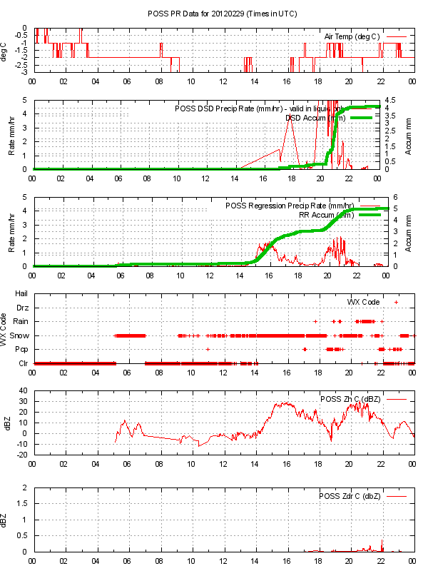
GPM GROUND VALIDATION ENVIRONMENT CANADA (EC) PRECIPITATION OCCURRENCE SENSOR SYSTEM (POSS) GCPEX V1
National Aeronautics and Space Administration —
The GPM Ground Validation Environment Canada (EC) Precipitation Occurrence Sensor System (POSS) GCPEx dataset is comprised of data gathered during the GPM Cold-season... -
Federal
Side Looking Airborne Radar (SLAR) Imagery
National Aeronautics and Space Administration —
Side-Looking Airborne Radar (SLAR) imagery is available from the U.S. Geological Survey (USGS) for selected project areas in the conterminous United States and... -
Federal
Brady Geodatabase for Geothermal Exploration Artificial Intelligence
Department of Energy —
These files contain the geodatabases related to Brady's Geothermal Field. It includes all input and output files for the Geothermal Exploration Artificial... -
Federal
Raw Ground Penetrating Radar Data on North American Glaciers
Department of the Interior —
U.S. Geological Survey researchers conducted time-series ground-penetrating radar (GPR) surveys with a Sensors and Software 500-MHz Pulse Ekko Pro system. This data... -
Federal
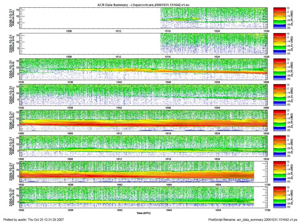
GPM Ground Validation NASA W-band Aircraft Cloud Radar (WACR) C3VP V1
National Aeronautics and Space Administration —
The GPM Ground Validation NASA W-band Airborne Cloud Radar (WACR) C3VP dataset consists of calibrated co- and cross-polarized radar reflectivity at 94 GHz during the... -
Federal
SWOT Level 2 Radiometer Brightness Temperatures and Troposphere Interim Data Product Version 1.0
National Aeronautics and Space Administration —
The SWOT Level 2 Radiometer Brightness Temperatures and Troposphere Interim Geophysical Data Record (IGDR) Version 1.0 dataset produced by the Surface Water and Ocean... -
Federal
SMAP_L1C_SIGMA_NAUGHT_HIGH_RES_METADATA_V002
National Aeronautics and Space Administration —
SMAP Level 1C Sigma Naught High Res Product Metadata Version 2 -
Federal
Currents, HFRadar, SF Bay Outlet, 1 hr, 2008-2009, EXPERIMENTAL
National Oceanic and Atmospheric Administration, Department of Commerce —
The data is the 1 hour average of the zonal component of ocean surface currents derived from High Frequency Radio-derived measurements. THIS IS AN EXPERIMENTAL...

Official websites use .gov
A
.gov website belongs to an official government
organization in the United States.
Secure .gov websites use HTTPS
A
lock (
) or https:// means you’ve safely connected to
the .gov website. Share sensitive information only on official,
secure websites.