
-
Federal
NOAA Climate Data Record (CDR) of Cloud and Clear-Sky Radiation Properties, Version 1.0
National Oceanic and Atmospheric Administration, Department of Commerce —
The NASA LaRC cloud and clear sky radiation properties dataset is generated using algorithms initially developed for application to TRMM and MODIS imagery within the... -
Federal
NOAA Climate Data Record (CDR) of Cloud Properties from AVHRR Pathfinder Atmospheres - Extended (PATMOS-x), Version 5.3
National Oceanic and Atmospheric Administration, Department of Commerce —
This NOAA Climate Data Record (CDR) of cloud products was produced by the University of Wisconsin using the AVHRR Pathfinder Atmospheres - Extended (PATMOS-X) Version... -
Federal
NOAA GOES-R Series Advanced Baseline Imager (ABI) Level 2 Cloud Optical Depth (COD)
National Oceanic and Atmospheric Administration, Department of Commerce —
The GOES-R Advanced Baseline Imager (ABI) Cloud Optical Depth product contains an image with pixel values identifying the measure of the extinction due to condensed... -
Federal
VISSR Cloud Motion Vectors (Winds)
National Oceanic and Atmospheric Administration, Department of Commerce —
VISSR Cloud Motion Vectors is a historical digital data set archived at the National Climatic Data Center (NCDC). Visible and infrared radiances are measured in two... -
Federal
United States Air Force 14th Weather Squadron Surface Weather Observations (Restricted)
National Oceanic and Atmospheric Administration, Department of Commerce —
The 14th Weather Squadron of the U.S. Air Force (USAF-14WS) creates a comprehensive dataset of weather observations; these observations stem from hundreds of domestic... -
Federal
Level 1.5 Almucantar Inversion Products (except phase functions)
National Aeronautics and Space Administration —
AERONET inversion code provides aerosoloptical properties in the total atmospheric column derived from the direct and diffuse radiation measured byAERONETCimel... -
Federal
TOVS GLA 5 DAY GRIDS from NOAA-12 V01 (TOVSA5ND) at GES DISC
National Aeronautics and Space Administration —
This dataset (TOVSA5ND) contains the TIROS Operational Vertical Sounder (TOVS) level 3 geophysical parameters derived using data from NOAA-12 and the physical... -
Federal
TOVS GLA MONTHLY GRIDS from TIROSN V01 (TOVSAMTN) at GES DISC
National Aeronautics and Space Administration —
This dataset (TOVSAMTN) contains the TIROS Operational Vertical Sounder (TOVS) level 3 geophysical parameters derived using data from TIROSN and the physical... -
Federal
TOVS GLA MONTHLY GRIDS from NOAA-12 V01 (TOVSAMND) at GES DISC
National Aeronautics and Space Administration —
This dataset (TOVSAMND) contains the TIROS Operational Vertical Sounder (TOVS) level 3 geophysical parameters derived using data from NOAA-12 and the physical... -
Federal
US Voluntary Observing Ship (VOS) - International Maritime Meteorological Tape (IMMT) data from SEAS version 9.1 E-Logbook Software
National Oceanic and Atmospheric Administration, Department of Commerce —
The US Voluntary Observing Ships (VOS) report surface marine observations in both real-time (FM-13 ship format) and delayed-mode (International Maritime... -
Federal
CAPRICORN 2016 Field campaign: surface meteorological data and turbulent fluxes collected from the RV Investigator by the National Oceanic and Atmospheric Administration (NOAA) in the Indian and South Pacific Oceans from 2016-03-14 to 2016-04-15 (NCEI Accession 0170257)
National Oceanic and Atmospheric Administration, Department of Commerce —
The data contained within this file covers about 40 days of surface meteorological data and turbulent fluxes at sea south of Tasmania from 14 March to 16 April 2016.... -
Federal
Automation of Field Operations and Services (AFOS) National Weather Service (NWS) Service Records and Retention System (SRRS) Data
National Oceanic and Atmospheric Administration, Department of Commerce —
Service Records and Retention System (SRRS) is historical digital data set DSI-9949, a collection of products created by the U.S. National Weather Service (NWS) and... -
Federal
Cloud-Aerosol Lidar and Infrared Pathfinder Satellite Observations (CALIPSO)
National Aeronautics and Space Administration —
Cloud-Aerosol Lidar and Infrared Pathfinder Satellite Observations (CALIPSO) was launched on April 28, 2006 to study the impact of clouds and aerosols on the Earth’s... -
Federal
Coral bleaching data from BleachWatch in the Florida Keys National Marine Sanctuary from 2024-05-28 to 2024-10-15 (NCEI Accession 0311613)
National Oceanic and Atmospheric Administration, Department of Commerce —
As the occurence and severity of coral bleaching has increased in the Florida Keys National Marine Sanctuary (FKNMS) since the 1980âs, The U.S. National Oceanic and... -
Federal
NOAA Fundamental Climate Data Record (CDR) of AMSU-B and MHS Brightness Temperature, Version 1
National Oceanic and Atmospheric Administration, Department of Commerce —
The NOAA Climate Data Record (CDR) of Advanced Microwave Sounding Unit-B (AMSU-B) and Microwave Humidity Sounder (MHS) brightness temperature (Tb) in "window... -
Federal
Sounder SIPS: Suomi NPP CrIMSS Level 3 Comprehensive Quality Control Gridded Monthly CLIMCAPS Full Spectral Resolution V2 at GES DISC
National Aeronautics and Space Administration —
WARNING: To users of the derived product “co_mmr_midtrop” (carbon monoxide mass mixing ratio to dry air [kg/kg] at ~500 hPa). This variable has a significant bias due... -
Federal
Fast Longwave And SHortwave Fluxes (FLASHflux) NOAA-20 Clouds and Radiative Swath (SSF) Version1B
National Aeronautics and Space Administration —
FLASH_SSF_NOAA20-FM6-VIIRS_Version1B data are near real-time CERES observed TOA fluxes, clouds, and parameterized surface fluxes, not officially calibrated. The Fast... -
Federal
Hurricane Satellite (HURSAT) from Advanced Very High Resolution Radiometer (AVHRR)
National Oceanic and Atmospheric Administration, Department of Commerce —
Huricane Satellite (HURSAT)-Advanced Very High Resolution Radiometer (AVHRR) is used to extend the HURSAT data set such that appling the Objective Dvorak technique... -
Federal
AERONET Level 2.0 SDA
National Aeronautics and Space Administration —
The aerosol optical depth processing includes the spectral de-convolution algorithm (SDA) described in O'Neill et al. (2003). This algorithm yields fine (sub-micron)... -
Federal
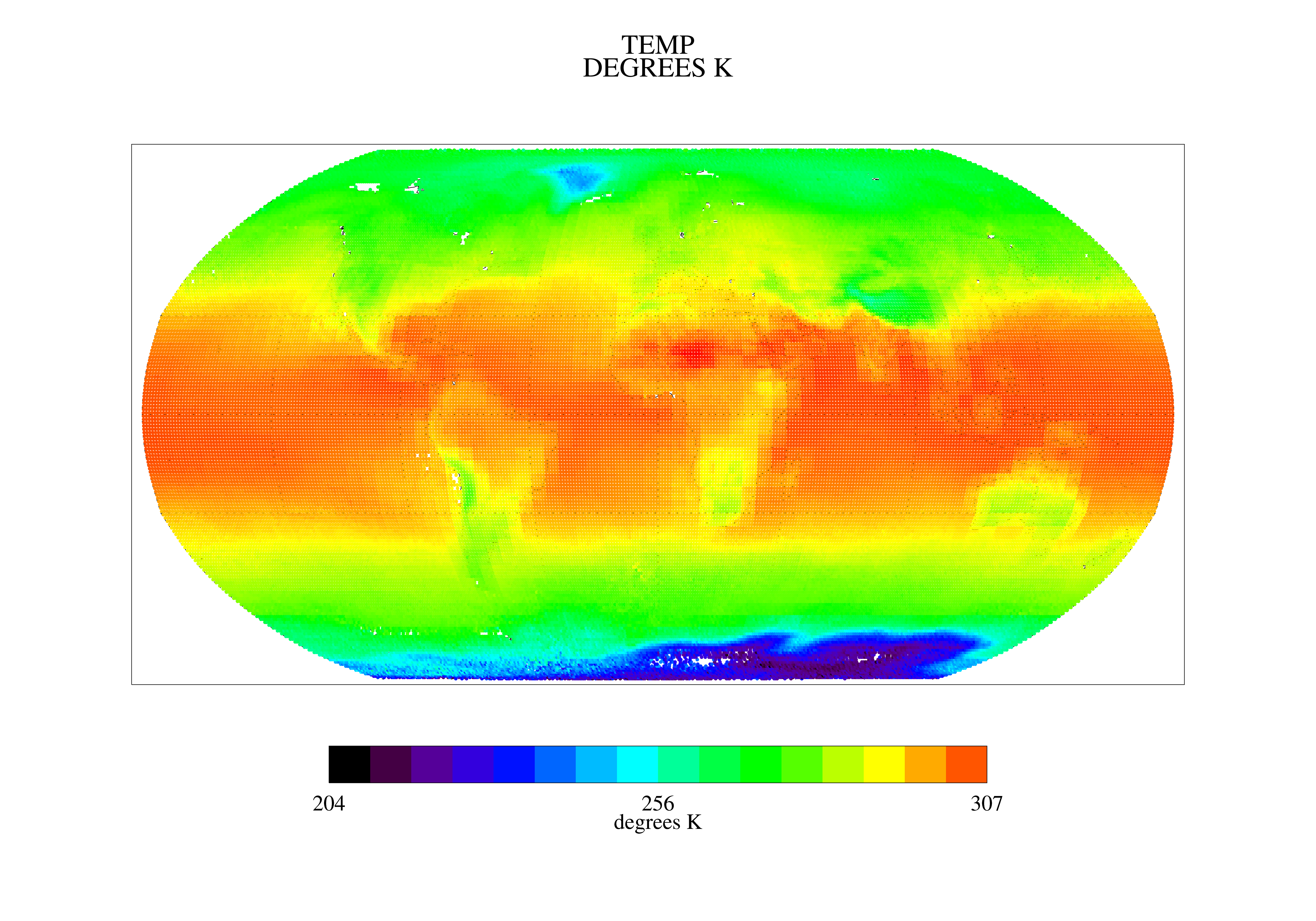
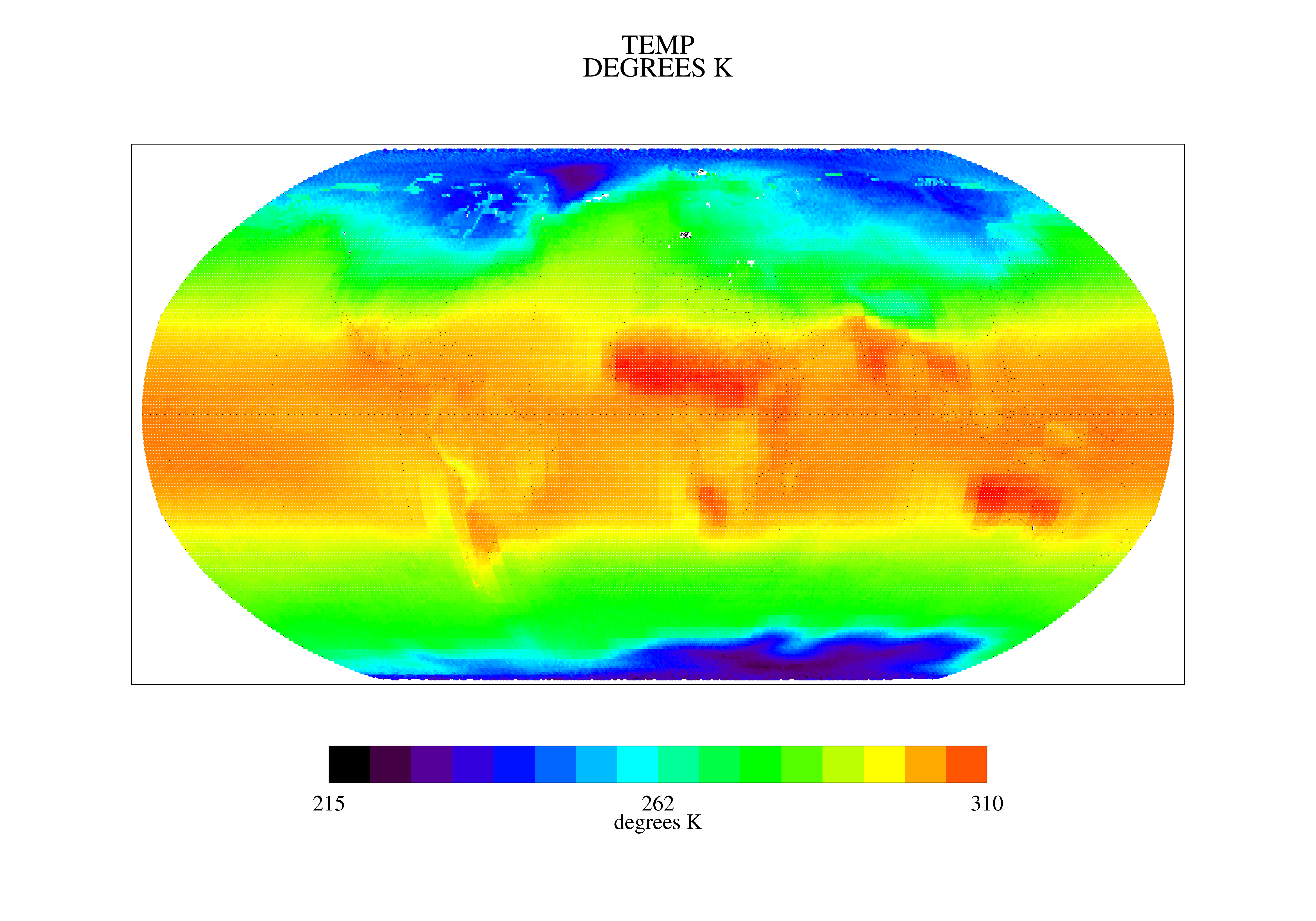
SatCORPS CERES GEO Edition 4 GOES-15 Southern Hemisphere Version 1.0
National Aeronautics and Space Administration —
CER_GEO_Ed4_GOE15_SH_V01 is the Satellite Cloud and Radiation Property retrieval System (SatCORPS) Clouds and the Earth's Radiant Energy System (CERES) Geostationary...

Official websites use .gov
A
.gov website belongs to an official government
organization in the United States.
Secure .gov websites use HTTPS
A
lock (
) or https:// means you’ve safely connected to
the .gov website. Share sensitive information only on official,
secure websites.