

114 datasets found
-
Federal
30 meter Esri binary grids of coastal response type probabilities with respect to projected sea levels for the Northeastern U.S. from Maine to Virginia for the 2020s, 2030s, 2050s and 2080s (Albers, NAD 83)
Department of the Interior —
The U.S. Geological Survey has been forecasting sea-level rise impacts on the landscape to evaluate where coastal land will be available for future use. The purpose... -
Federal
30-m Hillshaded relief image produced from swath interferometric, multibeam, and lidar datasets (navd_bath_30m.tif GeoTIFF Image; UTM, Zone 19N, WGS 84)
Department of the Interior —
These data are qualitatively derived interpretive polygon shapefiles and selected source raster data defining surficial geology, sediment type and distribution, and... -
Federal
6-m resolution grid of multibeam bathymetry in western Massachusetts Bay map Quadrangle 2 (Q2_BATHY6M)
Department of the Interior —
The U.S. Geological Survey has conducted geologic mapping to characterize the sea floor offshore of Massachusetts. The mapping was carried out using a Simrad Subsea... -
Federal
Isochron of Holocene fluvial and estuarine (Qfe) sediment thickness beneath the Massachusetts inner continental shelf between Nahant and Northern Cape Cod Bay (qfeiso Esri binary grid; UTM, Zone 19N, WGS 84)
Department of the Interior —
These data are qualitatively derived interpretive polygon shapefiles and selected source raster data defining surficial geology, sediment type and distribution, and... -
Federal
Digital Shoreline Analysis System version 4.3 shoreline intersection points used to calculate short-term (End Point Rate) shoreline change statistics for the Boston coastal region from Carson Beach in South Boston to Weymouth River, including the Boston Harbor Islands (Boston_intersects_STepr.shp)
Department of the Interior —
Due to continued coastal population growth and increased threats of erosion, current data on trends and rates of shoreline movement are required to inform shoreline... -
Federal
1-m interval contours of smoothed multibeam bathymetry in western Massachusetts Bay map Quadrangle 2 (Q2_1MCTR.SHP)
Department of the Interior —
The U.S. Geological Survey has conducted geologic mapping to characterize the sea floor offshore of Massachusetts. The mapping was carried out using a Simrad Subsea... -
Federal
Surficial sediment data from Boston Harbor collected during USGS Field Activity 04019 (SEDGRABS, UTM 19, WGS84)
Department of the Interior —
This data set includes the locations, identifiers, grain-size data and(or) textural descriptions of surficial sediments collected at stations based on topographic and... -
Federal
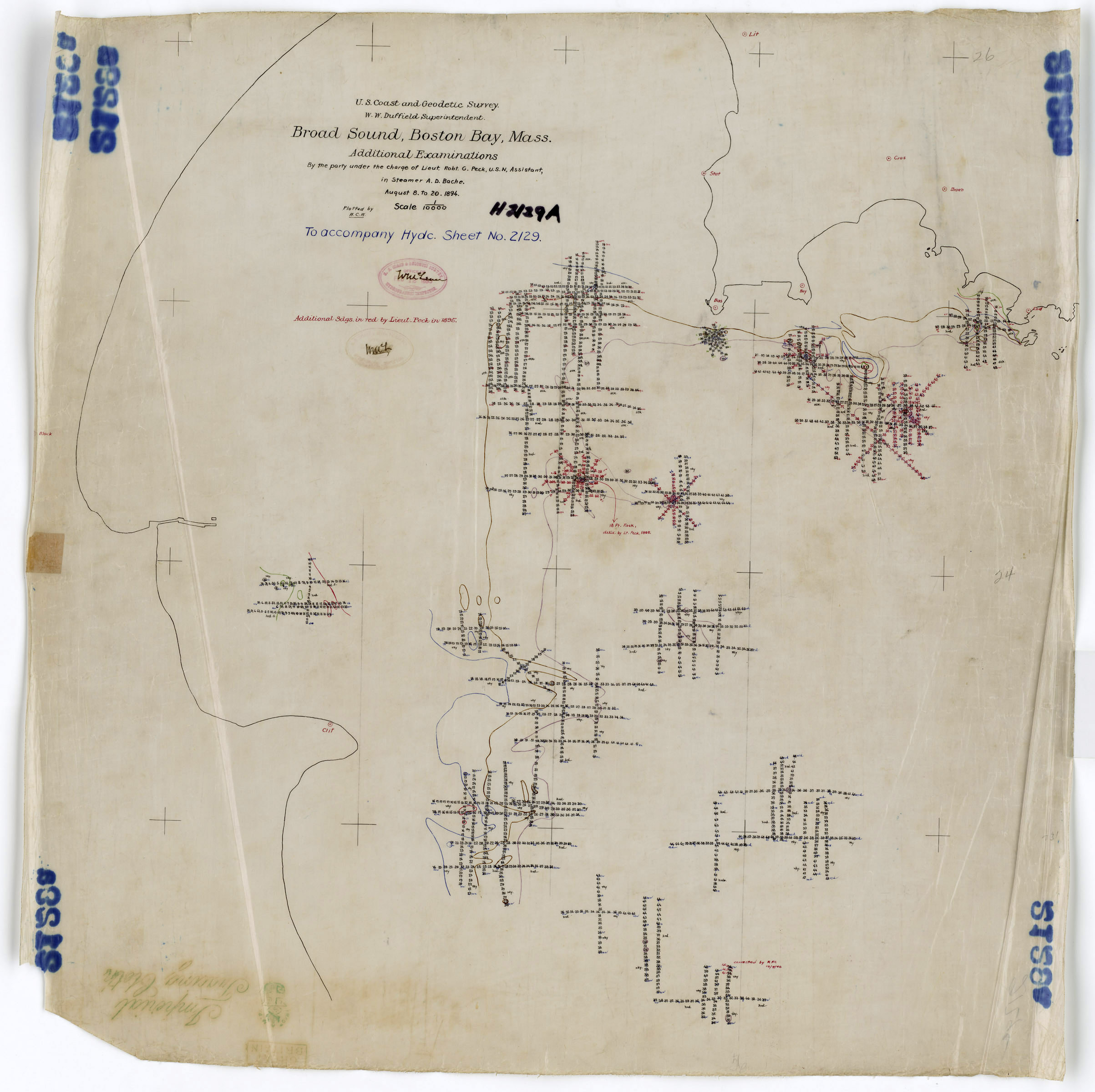
H02129B: NOS Hydrographic Survey
National Oceanic and Atmospheric Administration, Department of Commerce —
The National Oceanic and Atmospheric Administration (NOAA) has the statutory mandate to collect hydrographic data in support of nautical chart compilation for safe... -
Federal
H02129C: NOS Hydrographic Survey
National Oceanic and Atmospheric Administration, Department of Commerce —
The National Oceanic and Atmospheric Administration (NOAA) has the statutory mandate to collect hydrographic data in support of nautical chart compilation for safe... -
Federal
Sun-illuminated topographic imagery of the seafloor in the Stellwagen Bank National Marine Sanctuary region (sunillum.tif)
Department of the Interior —
The sun-illuminated topographic imagery of the Stellwagen Bank National Marine Sanctuary region off Boston, Massachusetts covers an area of approximately 1100 square... -
Federal
6-m resolution gray-scale image of shaded-relief multibeam bathymetry in western Massachusetts Bay map Quadrangle 2 (Q2_SRELIEF.TIF)
Department of the Interior —
The U.S. Geological Survey has conducted geologic mapping to characterize the sea floor offshore of Massachusetts. The mapping was carried out using a Simrad Subsea... -
Federal
10-m resolution image of shaded relief multibeam bathymetry in Massachusetts Bay (MB_SRELIEF10M.TIF)
Department of the Interior —
The U.S. Geological Survey has conducted geologic mapping to characterize the sea floor offshore of Massachusetts. The mapping was carried out using a Simrad Subsea... -
Federal
6-m resolution gray-scale image of shaded-relief multibeam bathymetry in western Massachusetts Bay map Quadrangle 3 (Q3_SRELIEF.TIF)
Department of the Interior —
The U.S. Geological Survey has conducted geologic mapping to characterize the sea floor offshore of Massachusetts. The mapping was carried out using a Simrad Subsea... -
Federal
H06995: NOS Hydrographic Survey , 1946-01-01
National Oceanic and Atmospheric Administration, Department of Commerce —
The National Oceanic and Atmospheric Administration (NOAA) has the statutory mandate to collect hydrographic data in support of nautical chart compilation for safe... -
Federal
Baseline for the coastal region around Boston, Massachusetts, generated to calculate shoreline change rates using the Digital Shoreline Analysis System version 5.1
Department of the Interior —
The Massachusetts Office of Coastal Zone Management launched the Shoreline Change Project in 1989 to identify erosion-prone areas of the coast by compiling a database... -
Federal
6-m resolution gray-scale image of multibeam backscatter intensity in western Massachusetts Bay map Quadrangle 3 (Q3_BACKGS.TIF)
Department of the Interior —
The U.S. Geological Survey has conducted geologic mapping to characterize the sea floor offshore of Massachusetts. The mapping was carried out using a Simrad Subsea... -
Federal
5-m interval contours of smoothed multibeam bathymetry in western Massachusetts Bay map Quadrangle 3 (Q3_5MCTR.SHP)
Department of the Interior —
The U.S. Geological Survey has conducted geologic mapping to characterize the sea floor offshore of Massachusetts. The mapping was carried out using a Simrad Subsea... -
Federal
Long-term and short-term shoreline change rates for coastal region around Boston, Massachusetts calculated without the proxy-datum bias using the Digital Shoreline Analysis System version 5.0
Department of the Interior —
The Massachusetts Office of Coastal Zone Management launched the Shoreline Change Project in 1989 to identify erosion-prone areas of the coast. The shoreline position... -
Federal
1-m interval contours of smoothed multibeam bathymetry in western Massachusetts Bay map Quadrangles 1-3 (WMB_1MCTR.SHP)
Department of the Interior —
The U.S. Geological Survey has conducted geologic mapping to characterize the sea floor offshore of Massachusetts. The mapping was carried out using a Simrad Subsea... -
Federal
Location of bottom photographs from the Mini-SeaBOSS sampling system from Boston Harbor and Approaches (USGS Field Activity 04019) (BOTTOMPHOTOS, UTM 19, WGS84)
Department of the Interior —
This data set includes the locations and hotlinks to photographs of the seafloor in Boston Harbor and the harbor approaches, Massachusetts. The photos were taken...
114 datasets found