
-
Federal
DISCOVER-AQ Maryland Deployment Beltsville Ground Site Data
National Aeronautics and Space Administration —
DISCOVERAQ_Maryland_Ground_Beltsville_Data contains data collected at the Beltsville ground site during the Maryland (Baltimore-Washington) deployment of NASA's... -
Federal
CERES Bidirectional Scans Terra FM2 Edition1-CV
National Aeronautics and Space Administration —
CER_BDS_Terra-FM2_Edition1-CV is the Clouds and the Earth's Radiant Energy System (CERES) Bidirectional Scans (BDS) Terra Flight Model 2 (FM2) Edition1-CV data... -
Federal
Ground-Based Global Navigation Satellite System Combined Broadcast Ephemeris Data (daily files) from NASA CDDIS
National Aeronautics and Space Administration —
This dataset consists of ground-based Global Navigation Satellite System (GNSS) Combined Broadcast Ephemeris Data (daily files of all distinct navigation messages... -
Federal
Aquarius Official Release Level 3 Wind Speed Standard Mapped Image Ascending Annual Data V5.0
National Aeronautics and Space Administration —
Aquarius Level 3 ocean surface wind speed standard mapped image data contains gridded 1 degree spatial resolution wind speed data averaged over daily, 7 day, monthly,... -
Federal
MODIS/Terra+Aqua BRDF Model Parameters 8-Day L3 Global 1km SIN Grid V006
National Aeronautics and Space Administration —
The MCD19A3 Version 6 data product was decommissioned on July 31, 2023. Users are encouraged to use the MCD19A3... -
Federal
Arctic Sea Ice Seasonal Change and Melt/Freeze Climate Indicators from Satellite Data, Version 1
National Aeronautics and Space Administration —
The product contains melt-season indicators that can be used to delineate various stages in the summer melt and freeze-up period of sea ice. The data were primarily... -
Federal
MODIS/Terra Surface Reflectance Daily L2G Global 1km and 500m SIN Grid V061
National Aeronautics and Space Administration —
The MOD09GA Version 6.1 product provides an estimate of the surface spectral reflectance of Terra Moderate Resolution Imaging Spectroradiometer (MODIS) Bands 1... -
Federal
Aqua/AIRS L2 Standard Physical Retrieval (AIRS+AMSU) V7.0 at GES DISC
National Aeronautics and Space Administration —
The Atmospheric Infrared Sounder (AIRS) is a grating spectrometer (R = 1200) aboard the second Earth Observing System (EOS) polar-orbiting platform, EOS Aqua. The... -
Federal
U.S. National Ice Center Arctic Sea Ice Charts and Climatologies in Gridded Format, 1972 - 2007, Version 1
National Aeronautics and Space Administration —
Notice: Due to funding limitations, this data set was recently changed to a “Basic” Level of Service. Learn more about what this means for users and how you can share... -
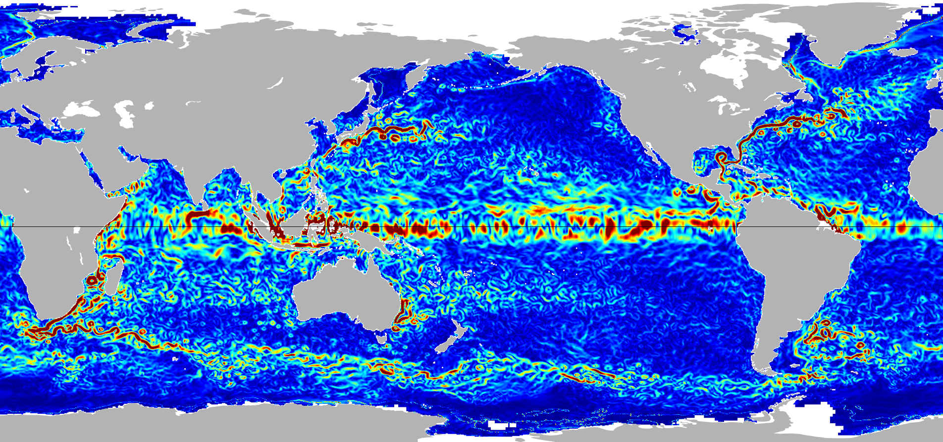
Federal
Ocean Surface Current Analyses Real-time (OSCAR) Surface Currents - Interim 0.25 Degree (Version 2.0)
National Aeronautics and Space Administration —
Ocean Surface Current Analyses Real-time (OSCAR) is a global surface current database and NASA funded research project. OSCAR ocean mixed layer velocities are... -
Federal
GeoEye-1 Level 1B Panchromatic Satellite Imagery
National Aeronautics and Space Administration —
The GeoEye-1 Level 1B Panchromatic Imagery collection contains satellite imagery acquired from Maxar Technologies (formerly known as DigitalGlobe) by the Commercial... -
Federal
Delta-X: UAVSAR L3 Water Level Changes, MRD, Louisiana, 2021
National Aeronautics and Space Administration —
This dataset contains georeferenced InSAR-derived water level change maps for Delta-X flight lines acquired during the spring (2021-03-27 to 2021-04-18) and fall... -
Federal
Ocean Surface Current Analyses Real-time (OSCAR) Surface Currents - Near Real Time 0.25 Degree (Version 2.0)
National Aeronautics and Space Administration —
Ocean Surface Current Analyses Real-time (OSCAR) is a global surface current database and NASA funded research project. OSCAR ocean mixed layer velocities are... -
Federal
Sentinel-5P TROPOMI Near-Real-Time (NRT) Total Ozone Column 1-Orbit L2 5.5km x 3.5km V2 (S5P_L2__O3_TOT_HiR_NRT) at GES DISC
National Aeronautics and Space Administration —
The Sentinel-5P TROPOMI Near Real Time (NRT) Total Ozone Column 1-Orbit L2 5.5km x 3.5km V2 (S5P_L2__O3_TOT_HiR_NRT) at GES DISC is the near real time version of the... -
Federal
JPL GRACE and GRACE-FO Mascon Ocean, Ice, and Hydrology Equivalent Water Height JPL Release 06.3 Version 04
National Aeronautics and Space Administration —
This dataset contains gridded monthly global water storage/height anomalies relative to a time-mean, derived from GRACE and GRACE-FO and processed at JPL using the... -
Federal
FIREX-AQ NOAA-MET Twin Otter Data
National Aeronautics and Space Administration —
FIREXAQ_N46_Data are the wind profile and fire temperature data collected onboard the NOAA-MET Twin Otter during FIREX-AQ. This product includes data collected by the... -
Federal
ARCSIX LaRC G-III High Altitude Lidar Observatory (HALO) Data
National Aeronautics and Space Administration —
ARCSIX_AircraftRemoteSensing_LaRC-G3_HALO_Data is the High Altitude Lidar Observatory (HALO) data collected onboard the LaRC G-III aircraft during the Arctic... -
Federal
ASTER L2 Surface Radiance - VNIR and Crosstalk Corrected SWIR V003
National Aeronautics and Space Administration —
The Terra Advanced Spaceborne Thermal Emission and Reflection Radiometer (ASTER) Surface Radiance VNIR and Crosstalk Corrected SWIR (AST_09XT) is a multi-file product... -
Federal
ASTER L1B Registered Radiance at the Sensor V003
National Aeronautics and Space Administration —
The Terra Advanced Spaceborne Thermal Emission and Reflection Radiometer (ASTER) Level 1B (AST_L1B) Registered Radiance at the Sensor data product is radiometrically...

Official websites use .gov
A
.gov website belongs to an official government
organization in the United States.
Secure .gov websites use HTTPS
A
lock (
) or https:// means you’ve safely connected to
the .gov website. Share sensitive information only on official,
secure websites.